Download
Preview
Add to list
More
15.0 km
~3 hrs 33 min
340 m
Out and Back
“The Canyon Rim Trail offers breathtaking views, diverse wildlife, and historical intrigue on a 15 km journey.”
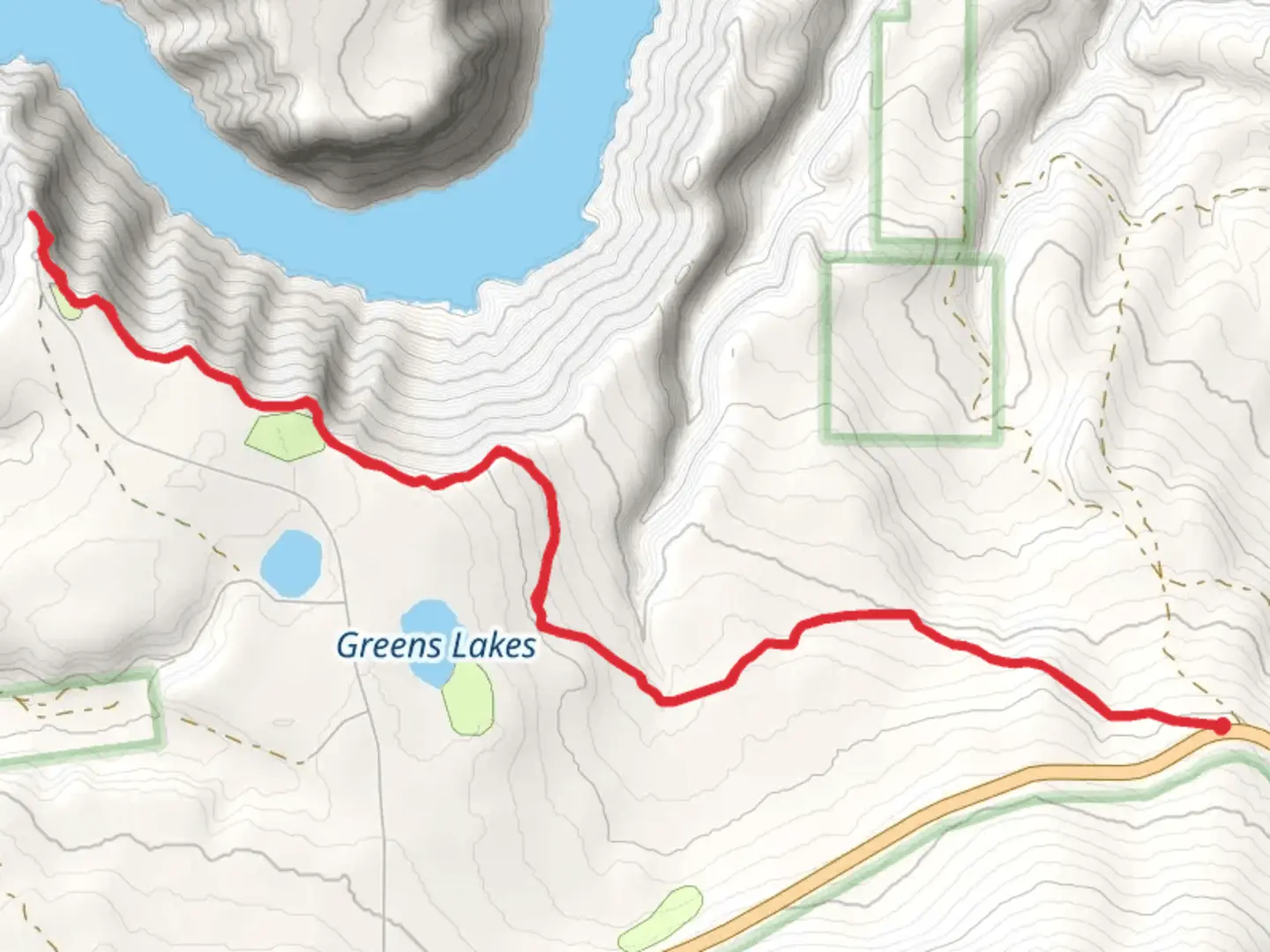
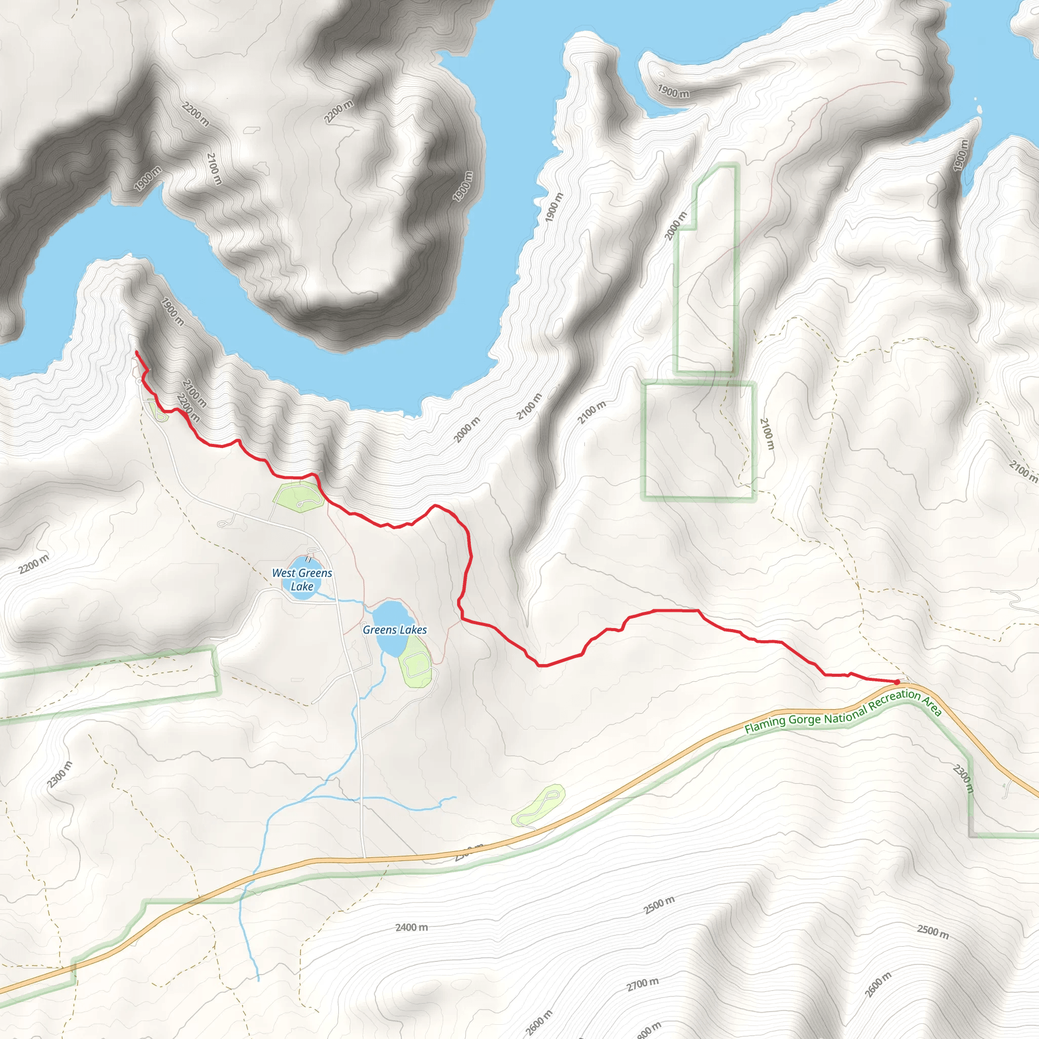
Starting near Daggett County, Utah, the Canyon Rim Trail offers a captivating 15 km (approximately 9.3 miles) out-and-back journey with an elevation gain of around 300 meters (about 984 feet). This medium-difficulty trail provides hikers with stunning vistas, diverse wildlife, and a touch of historical significance.
Getting There To reach the trailhead, you can drive or use public transport. If driving, head towards the Flaming Gorge National Recreation Area, which is the nearest significant landmark. The trailhead is accessible from the Sheep Creek Geological Loop, a well-known scenic byway. For those relying on public transport, the nearest bus stop is in Manila, Utah, from where you can arrange a taxi or rideshare to the trailhead.
Trail Overview The Canyon Rim Trail begins with a gentle ascent, allowing hikers to acclimate to the elevation gain gradually. The first 2 km (1.2 miles) offer a mix of shaded forest paths and open meadows, providing a variety of flora and fauna to observe. Keep an eye out for mule deer and the occasional elk, especially during the early morning or late afternoon.
Scenic Vistas and Landmarks Around the 3 km (1.9 miles) mark, the trail opens up to its first major viewpoint, offering panoramic views of the Flaming Gorge Reservoir. This is an excellent spot for a short break and some photography. As you continue, the trail meanders along the rim, providing continuous breathtaking views of the canyon below.
At approximately 5 km (3.1 miles), you'll encounter the Red Canyon Visitor Center. This is a great place to learn more about the geological history of the area and refill your water bottles. The visitor center also offers restrooms and picnic areas, making it a convenient halfway point for a longer rest.
Historical Significance The Flaming Gorge area has a rich history, dating back to the Native American tribes who originally inhabited the region. The Ute and Shoshone tribes used this area for hunting and gathering. In the 19th century, the region became a significant route for explorers and trappers. The construction of the Flaming Gorge Dam in the 1960s transformed the landscape, creating the reservoir that now attracts numerous visitors each year.
Wildlife and Flora As you proceed further, the trail continues to offer diverse ecological zones. The higher elevations are home to Ponderosa pines and Douglas firs, while the lower areas feature sagebrush and juniper. Birdwatchers will be delighted by the presence of golden eagles, peregrine falcons, and various songbirds.
Navigation and Safety Given the trail's moderate difficulty, it's advisable to use a reliable navigation tool like HiiKER to keep track of your progress and ensure you stay on the correct path. The trail is well-marked, but having a digital map can provide additional peace of mind.
Final Stretch The final 2 km (1.2 miles) of the trail offer a gradual descent back to the trailhead, allowing you to enjoy the scenery one last time. This section is particularly beautiful during the late afternoon when the setting sun casts a golden hue over the landscape.
Whether you're an experienced hiker or someone looking to explore the natural beauty of Utah, the Canyon Rim Trail offers a rewarding experience filled with stunning views, rich history, and diverse wildlife.
What to expect?
Activity types
Comments and Reviews
User comments, reviews and discussions about the Canyon Rim Trail, Utah.
4.58
average rating out of 5
12 rating(s)
