Download
Preview
Add to list
More
23.6 km
~1 day 2 hrs
1418 m
Out and Back
“Embark on the scenic Smithfield Canyon Trail to Tony Grove Lake with stunning views and moderate challenges.”
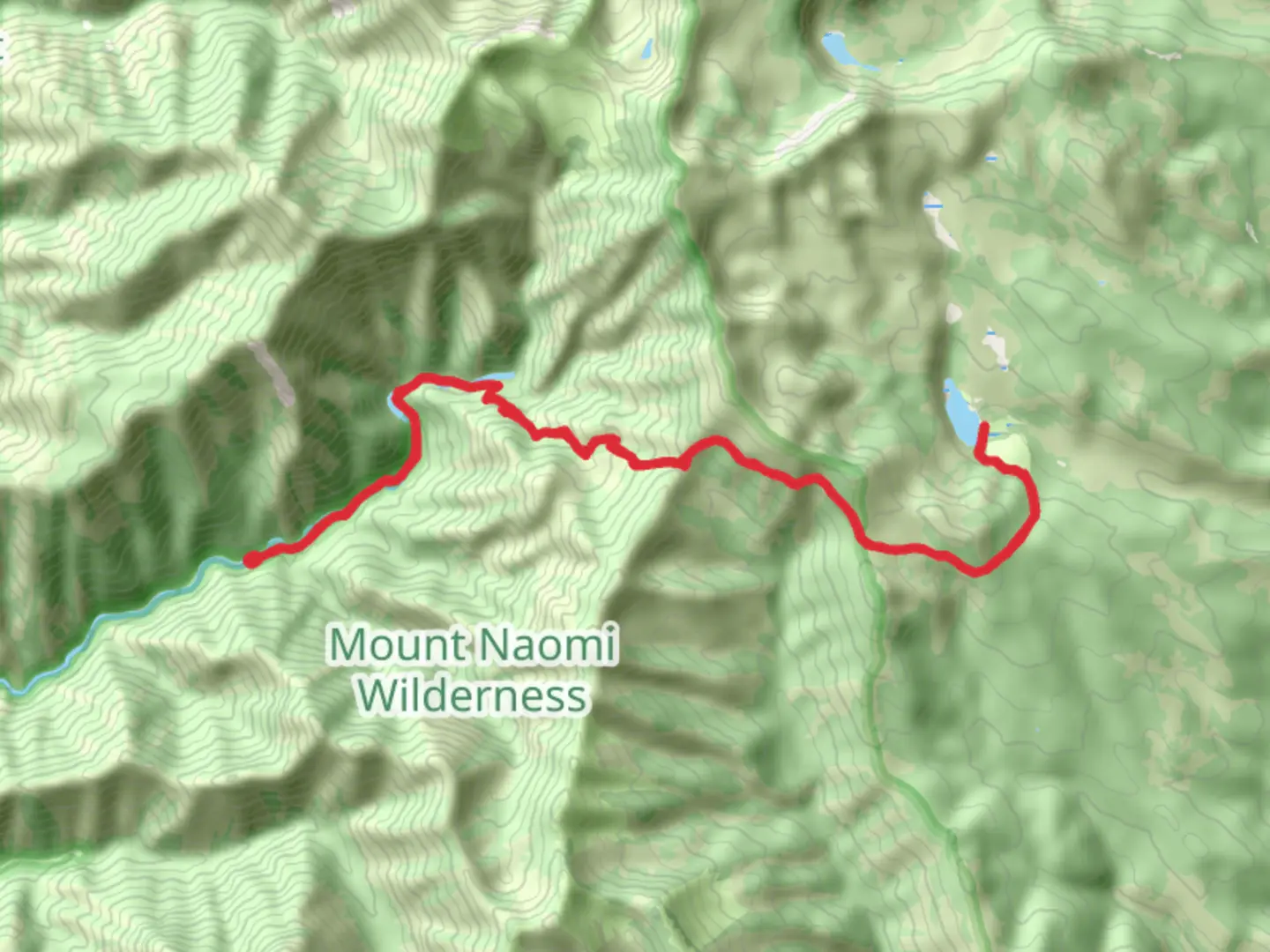
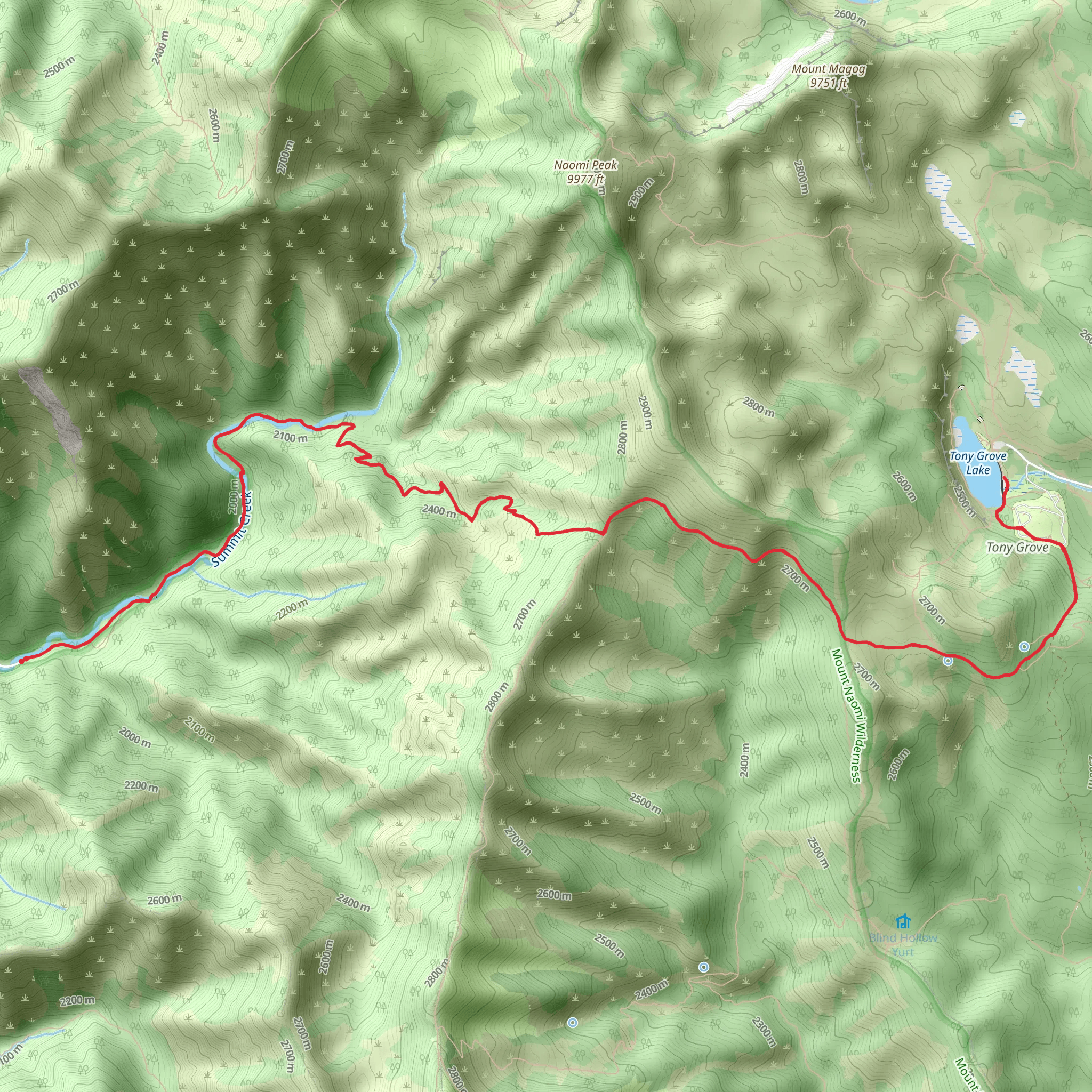
Starting your adventure near Cache County, Utah, the Smithfield Canyon Trail and Tony Grove Lake hike spans approximately 24 kilometers (15 miles) with an elevation gain of around 1400 meters (4600 feet). This out-and-back trail is rated as medium difficulty, making it suitable for moderately experienced hikers.
Getting There To reach the trailhead, you can drive or use public transportation. If driving, head towards Smithfield, Utah, and follow the signs to Smithfield Canyon. The nearest significant landmark is the Smithfield Canyon Campground, which serves as a good reference point. For those using public transport, the Cache Valley Transit District (CVTD) offers bus services to Smithfield, from where you can arrange a taxi or rideshare to the trailhead.
Trail Overview The trail begins at the Smithfield Canyon Campground, where you can find parking and basic amenities. As you start your hike, you'll be greeted by the serene sounds of the Smithfield Creek, which runs parallel to the trail for the first few kilometers. The initial section is relatively flat, allowing you to ease into the hike.
Key Landmarks and Elevation Around the 5-kilometer (3-mile) mark, the trail starts to ascend more steeply. Here, you'll gain approximately 300 meters (1000 feet) in elevation over the next 3 kilometers (2 miles). This section is densely forested with a mix of aspen and pine trees, providing ample shade and a cool environment even during warmer months.
Wildlife and Flora Keep an eye out for local wildlife, including mule deer, elk, and various bird species. The area is also known for its vibrant wildflowers in the spring and summer months, adding a splash of color to your hike.
Midpoint: Tony Grove Lake At around the 12-kilometer (7.5-mile) mark, you'll reach Tony Grove Lake, a stunning alpine lake surrounded by wildflowers and towering peaks. This is an excellent spot to take a break, have lunch, and enjoy the breathtaking scenery. The lake sits at an elevation of approximately 2400 meters (7900 feet), making it a significant climb from the trailhead.
Historical Significance The region around Tony Grove Lake has historical significance dating back to the early 20th century when it was a popular summer retreat. The lake and surrounding area were named after the "tony" or fashionable people who frequented the area. Remnants of old cabins and historical markers can still be found, offering a glimpse into the past.
Return Journey After soaking in the beauty of Tony Grove Lake, you'll retrace your steps back to the trailhead. The descent offers a different perspective of the landscape, and the downhill sections provide a welcome respite after the climb.
Navigation For navigation, it's highly recommended to use HiiKER, which provides detailed maps and real-time updates to ensure you stay on track. The trail is well-marked, but having a reliable navigation tool can enhance your hiking experience.
Prepare adequately with water, snacks, and appropriate clothing, as weather conditions can change rapidly, especially at higher elevations. Enjoy your hike through this beautiful and historically rich trail!
What to expect?
Activity types
Comments and Reviews
User comments, reviews and discussions about the Smithfield Canyon Trail and Tony Grove Lake, Utah.
4.45
average rating out of 5
11 rating(s)
