Download
Preview
Add to list
More
9.2 km
~2 hrs 38 min
485 m
Loop
“Explore diverse landscapes and historical treasures on the moderately challenging 9 km Providence Canyon Loop Trail.”
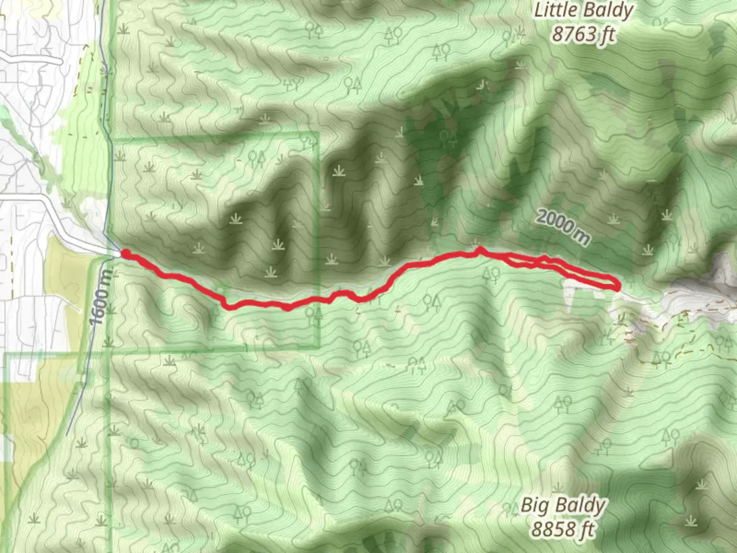
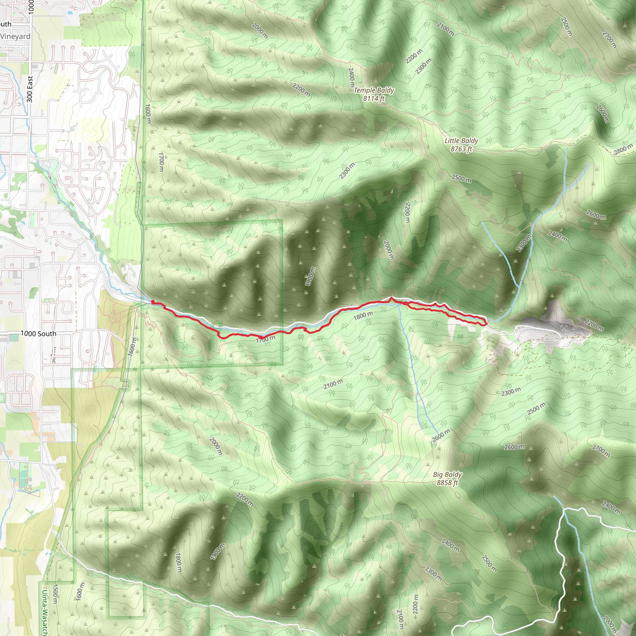
Starting your adventure near Cache County, Utah, the Providence Canyon Loop Trail offers a captivating journey through diverse landscapes and historical sites. This 9 km (approximately 5.6 miles) loop trail features an elevation gain of around 400 meters (about 1,312 feet), making it a moderately challenging hike suitable for those with some hiking experience.### Getting There To reach the trailhead, you can drive or use public transport. If driving, head towards the nearest significant landmark, the Cache Valley Visitors Bureau in Logan, Utah. From there, it's a short drive to the trailhead. For those using public transport, local bus services from Logan can drop you off near the starting point, but be sure to check the latest schedules and routes.### Trail Overview The trail begins with a gentle ascent, allowing you to ease into the hike. As you progress, the path becomes steeper, offering a good workout and rewarding you with stunning views of the surrounding canyon. The first 2 km (1.2 miles) of the trail will take you through dense forests, where you can spot a variety of wildlife, including deer and numerous bird species.### Significant Landmarks Around the 3 km (1.9 miles) mark, you'll encounter the first significant landmark: an old mining site. This area is rich in history, dating back to the late 19th century when mining was a major industry in the region. Take a moment to explore the remnants of the mining equipment and imagine the lives of the miners who once worked here.### Mid-Trail Highlights As you continue, the trail opens up to a panoramic view of the canyon. This section, approximately 5 km (3.1 miles) in, is a perfect spot for a break and some photography. The elevation gain here is about 200 meters (656 feet), offering a moderate challenge but nothing too strenuous.### Flora and Fauna The trail is home to a diverse range of plant life. In spring and summer, you'll find wildflowers in full bloom, adding vibrant colors to the landscape. Keep an eye out for the local fauna as well; the area is known for its population of mule deer and occasional sightings of black bears. Always maintain a safe distance and follow local guidelines for wildlife encounters.### Final Stretch The last 2 km (1.2 miles) of the trail bring you back into the forested area, gradually descending towards the trailhead. This section is less steep, allowing for a more relaxed pace as you finish your hike. The total elevation gain for this part is around 100 meters (328 feet), making it a gentle end to your journey.### Navigation and Safety For navigation, it's highly recommended to use the HiiKER app, which provides detailed maps and real-time updates. Ensure you have downloaded the trail map before starting, as cell service can be spotty in certain areas of the canyon.### Historical Significance The Providence Canyon area has a rich history, not only from its mining past but also as a significant site for the indigenous peoples who originally inhabited the region. Artifacts and historical markers along the trail provide insights into the cultural heritage of the area.Prepare adequately with water, snacks, and appropriate gear, and you'll find the Providence Canyon Loop Trail to be a rewarding and enriching experience.
What to expect?
Activity types
Comments and Reviews
User comments, reviews and discussions about the Providence Canyon Loop Trail, Utah.
4.38
average rating out of 5
16 rating(s)
