Download
Preview
Add to list
More
10.4 km
~3 hrs 49 min
1049 m
Out and Back
“Explore Mendon Peak via Deep Canyon Trail for stunning views, rich history, and diverse ecosystems.”
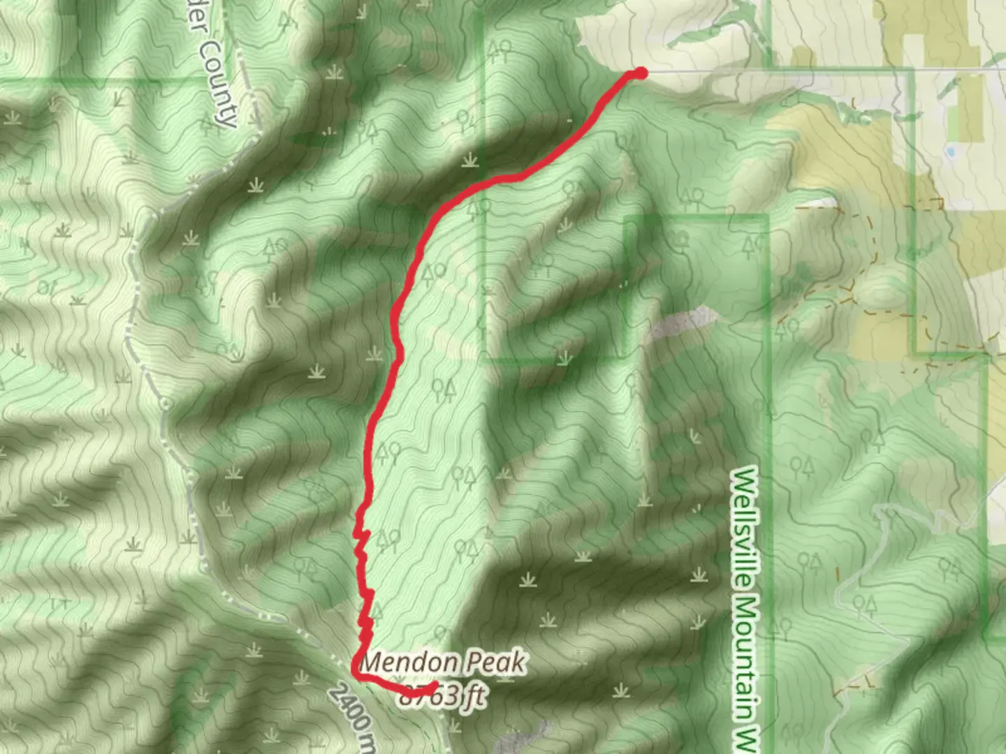
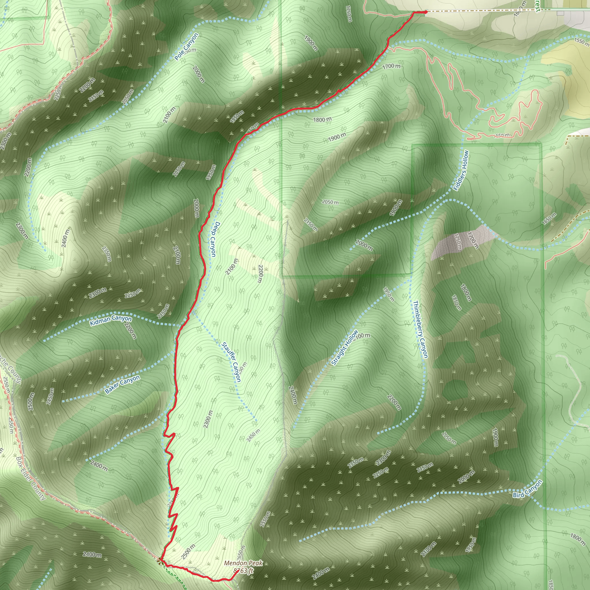
Starting your journey near Cache County, Utah, the Mendon Peak via Deep Canyon Trail offers a rewarding out-and-back hike that spans approximately 10 kilometers (6.2 miles) with an elevation gain of around 1000 meters (3280 feet). This trail is rated as medium difficulty, making it suitable for moderately experienced hikers.### Getting There To reach the trailhead, you can drive or use public transport. If driving, head towards the nearest significant landmark, the town of Mendon, Utah. From Mendon, follow local roads to the Deep Canyon Trailhead. For those using public transport, the nearest bus stop is in Logan, Utah. From Logan, you can take a taxi or rideshare service to the trailhead.### Trail Overview The trail begins with a gentle ascent through a mixed forest of aspen and pine. The initial 2 kilometers (1.2 miles) are relatively easy, with an elevation gain of about 200 meters (656 feet). This section is a great warm-up and offers a chance to spot local wildlife such as deer and various bird species.### Mid-Trail Landmarks As you progress, the trail becomes steeper and more challenging. Around the 4-kilometer (2.5-mile) mark, you'll encounter a series of switchbacks that lead you up the canyon. This section gains approximately 400 meters (1312 feet) in elevation and offers stunning views of the surrounding Cache Valley. Keep an eye out for wildflowers in the spring and early summer.### Historical Significance The region around Mendon Peak has a rich history. The area was originally inhabited by the Shoshone people before European settlers arrived in the mid-19th century. The trail itself follows old logging routes used in the early 1900s, adding a layer of historical intrigue to your hike.### Final Ascent The last 2 kilometers (1.2 miles) to the summit are the most strenuous, with an elevation gain of about 400 meters (1312 feet). The trail narrows and becomes rocky, requiring careful footing. Upon reaching the summit of Mendon Peak, you'll be rewarded with panoramic views of the Bear River Range and the Great Salt Lake in the distance.### Navigation and Safety Given the trail's moderate difficulty and varying terrain, it's advisable to use a reliable navigation tool like HiiKER to stay on course. The trail is well-marked, but weather conditions can change rapidly, so be prepared with appropriate gear and check weather forecasts before setting out.### Flora and Fauna Throughout the hike, you'll traverse diverse ecosystems, from dense forests to alpine meadows. In addition to deer, you might spot marmots and, if you're lucky, a moose. The flora varies with elevation, featuring everything from lowland shrubs to high-altitude wildflowers.### Return Journey The descent follows the same path back to the trailhead. While descending, take your time to enjoy the views and perhaps spot some wildlife you missed on the way up. The return trip is easier on the legs but still requires caution, especially on the steeper sections.This trail offers a blend of natural beauty, historical context, and moderate physical challenge, making it a fulfilling adventure for those looking to explore the Cache County region.
What to expect?
Activity types
Comments and Reviews
User comments, reviews and discussions about the Mendon Peak via Deep Canyon Trail, Utah.
4.5
average rating out of 5
12 rating(s)
