Download
Preview
Add to list
More
857.3 km
~55 days
21476 m
Multi-Day
“Traverse Virginia's Appalachian Trail for breathtaking vistas, historical pathways, and diverse wildlife encounters across 533 miles of rugged beauty.”
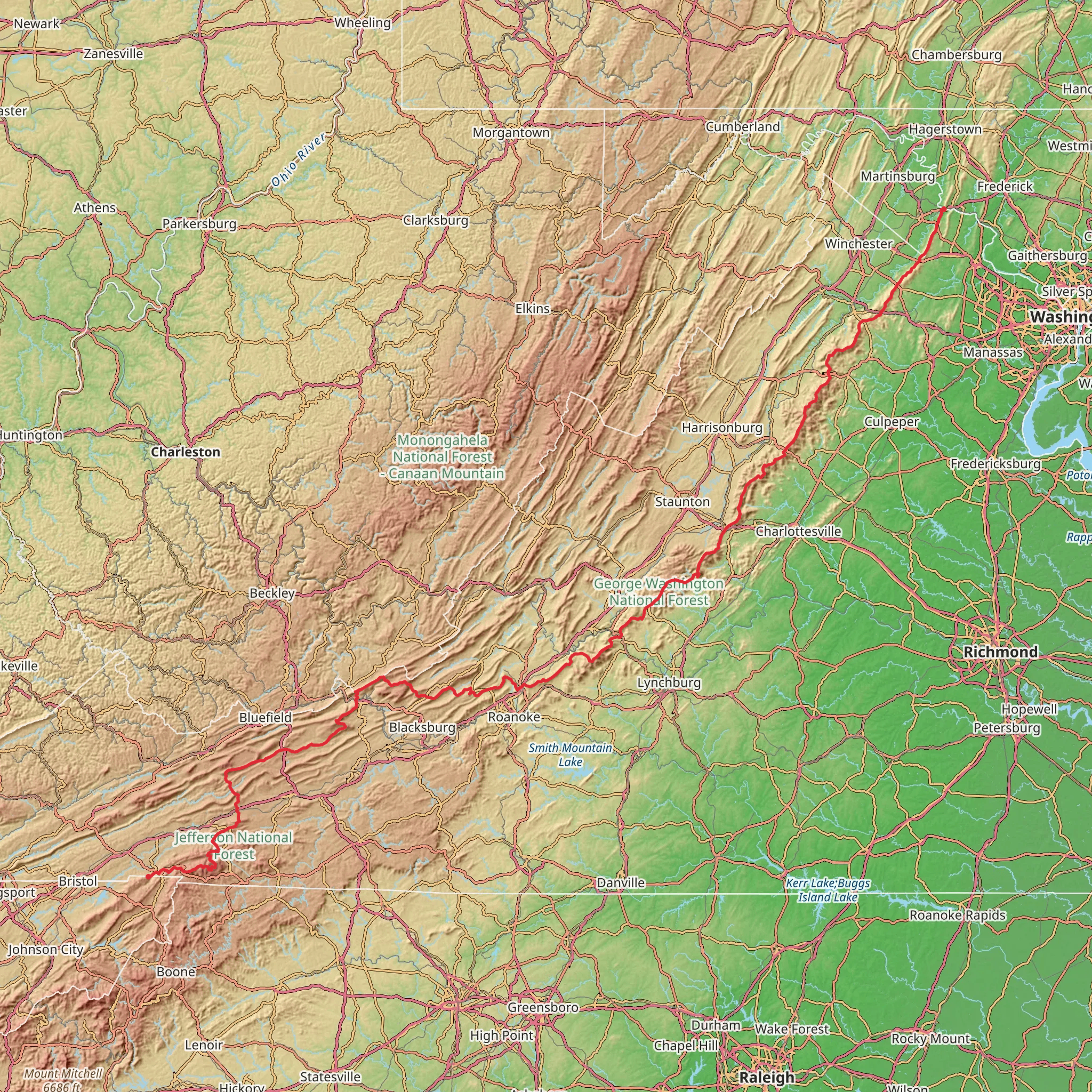
Spanning approximately 857 kilometers (about 533 miles) through Virginia, the Appalachian Trail offers a challenging yet rewarding experience with an elevation gain of around 21,400 meters (70,200 feet). The Virginia section begins near Johnson County, Tennessee, and is a point-to-point trail, renowned for its scenic beauty and historical significance.
Getting to the Trailhead
To start your journey on the Virginia section of the Appalachian Trail, you'll want to head to the trailhead located near Damascus, Virginia, often referred to as "Trail Town USA" due to its proximity to several significant trails. If driving, you can reach Damascus by taking Interstate 81 to exit 19 in Abingdon, then following US Route 58 eastward. For those relying on public transportation, options are limited, but some regional bus services may get you close to Damascus, where you might arrange a shuttle or taxi to the trailhead.
Trail Overview
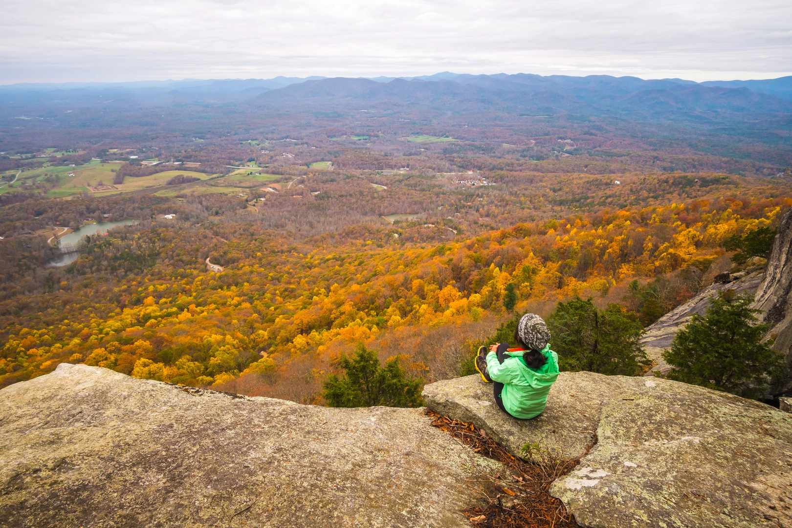
As you embark on the trail, you'll traverse diverse landscapes, including dense forests, serene valleys, and high mountain ridges. The Virginia section is home to some of the AT's most iconic locations, such as the Grayson Highlands, where wild ponies roam, and the picturesque Roanoke Valley.
Significant Landmarks and Nature
One of the first major landmarks you'll encounter is Mount Rogers, Virginia's highest peak at 1,746 meters (5,729 feet), though the trail does not cross the summit. The Grayson Highlands State Park, roughly 80 kilometers (50 miles) into the Virginia section, offers stunning views and unique encounters with wild ponies.
Continuing north, you'll reach the Roanoke Valley, with McAfee Knob being one of the most photographed spots on the entire Appalachian Trail. This overlook is about 370 kilometers (230 miles) from the start of the Virginia section and provides panoramic views of the surrounding landscape.
Wildlife and Flora
The trail is a haven for wildlife enthusiasts, with opportunities to see deer, black bears, and a variety of bird species. The flora along the trail changes with the elevation, ranging from rhododendron thickets to spruce-fir forests at higher altitudes.
Historical Significance
Virginia's section of the Appalachian Trail is steeped in history. The trail passes near many Civil War sites, and hikers can feel the past's presence as they walk paths that have been trodden for centuries.
Navigation and Preparation
Navigating the trail can be challenging due to its length and varying conditions. It's essential to have a reliable navigation tool like HiiKER to help with planning and staying on course. Hikers should prepare for the trail's difficulty by packing appropriate gear, including sturdy footwear, weather-appropriate clothing, and sufficient food and water supplies.
Seasonal Considerations
The best times to hike this section are from late spring to early fall when the weather is more predictable. However, hikers should be prepared for sudden weather changes and cooler temperatures at higher elevations, even during the summer months.
Leave No Trace
As with any wilderness hike, it's crucial to follow Leave No Trace principles to preserve the trail's natural beauty for future generations. This includes packing out all trash, minimizing campfire impacts, and respecting wildlife.
By preparing adequately and respecting the trail's natural and historical significance, hikers can embark on a memorable journey through the heart of the Appalachian Mountains in Virginia.
What to expect?
Activity types
Comments and Reviews
User comments, reviews and discussions about the Appalachian Trail - Virginia, Tennessee.
4.5
average rating out of 5
14 rating(s)

