Sörmlandsleden Trail trail stages
stage 1
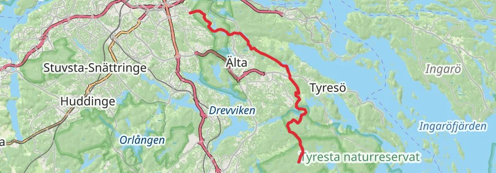
Starting at: Moderskap, Stockholm, Stockholm County, 121 52
Distance: 621.5 km
Elevation gain: 12127 m
Duration: 144:30:09
stage 33
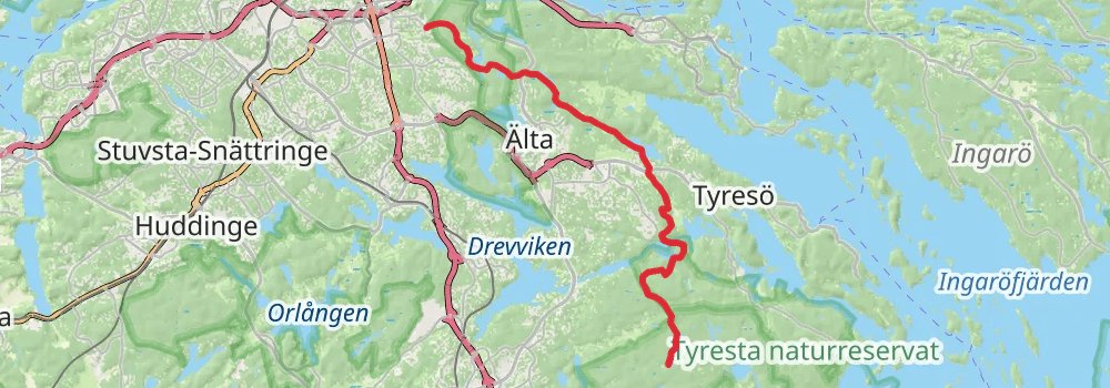
Distance: 621.6 km
Elevation gain: 12114 m
Duration: 144:30:27
stage 32
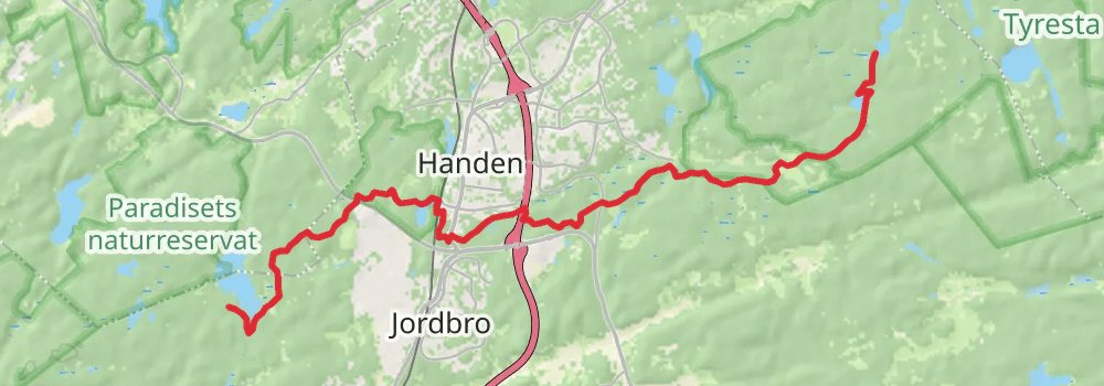
Starting at: Västerhaninge, Stockholm County, 137 54
Distance: 0 m
Elevation gain: 0 m
Duration: 00:00:00
stage 3
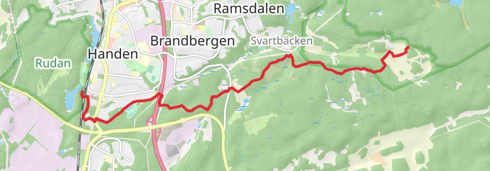
Distance: 23.0 km
Elevation gain: 418 m
Duration: 05:18:10
spur 1
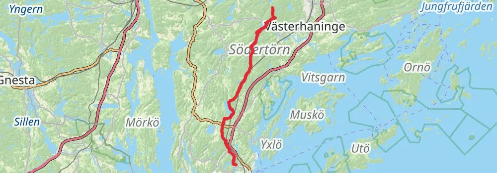
Starting at: Ådran, Stockholm County, 137 93
Ending at: Ådran, Stockholm County, 137 93
Distance: 78.2 km
Elevation gain: 1528 m
Duration: 18:11:05
spur 2
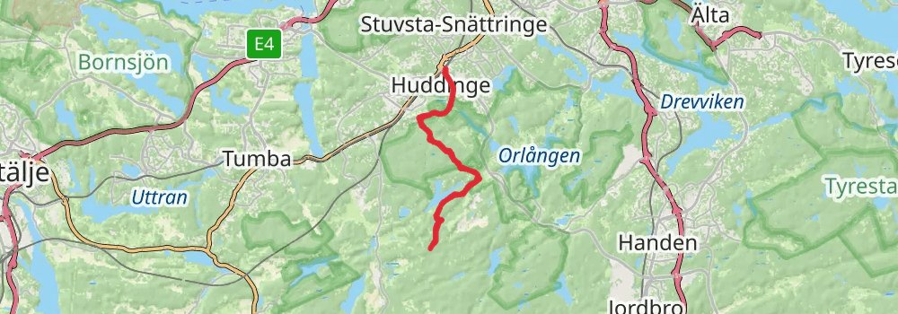
Starting at: Hökärr, Huddinge kommun, Stockholm County, 141 91
Distance: 26.1 km
Elevation gain: 523 m
Duration: 06:05:48
stage 4
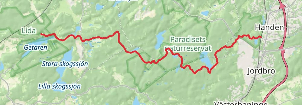
Starting at: Handen, Stockholm County, 136 40
Distance: 22.3 km
Elevation gain: 489 m
Duration: 05:17:03
stage 5
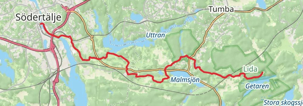
Starting at: Naturrum, Botkyrka kommun, Stockholm County, 143 33
Distance: 15.7 km
Elevation gain: 318 m
Duration: 03:40:22
stage 6
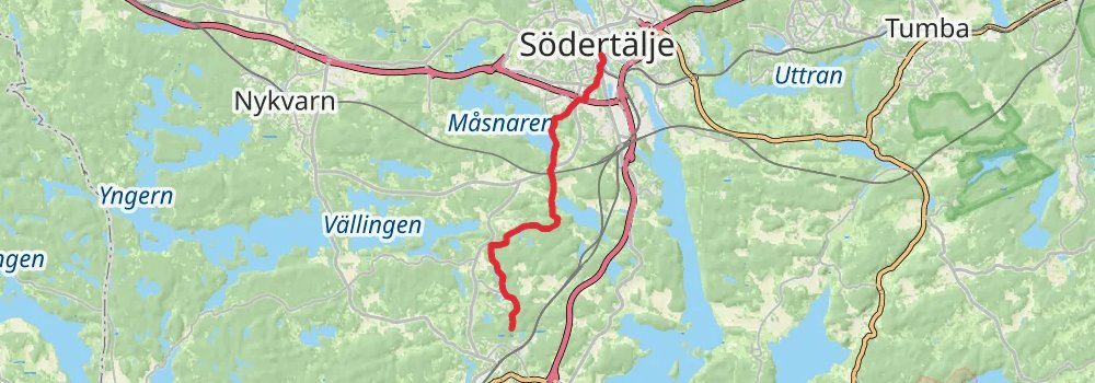
Ending at: Herrvreten, Järna, Stockholm County, 153 37
Distance: 15.1 km
Elevation gain: 290 m
Duration: 03:30:03
spur 3
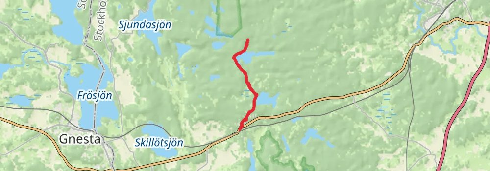
Starting at: Södertälje kommun, Stockholm County, 150 21
Ending at: Södertälje kommun, Stockholm County, 150 21
Distance: 10.0 km
Elevation gain: 227 m
Duration: 02:22:26
stage 7
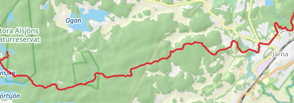
Starting at: Herrvreten, Järna, Stockholm County, 153 37
Ending at: Södertälje kommun, Stockholm County, 150 21
Distance: 25.2 km
Elevation gain: 531 m
Duration: 05:55:02
spur 4
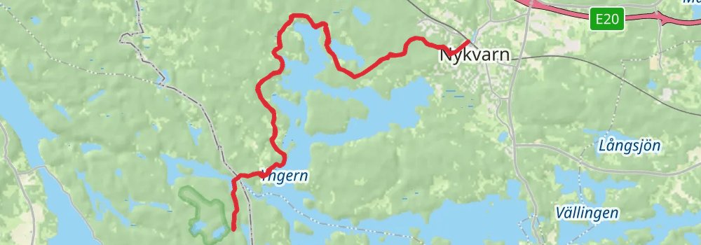
Starting at: Södertälje kommun, Stockholm County, 155 94
Ending at: Södertälje kommun, Stockholm County, 155 94
Distance: 32.0 km
Elevation gain: 541 m
Duration: 07:18:02
spur 5
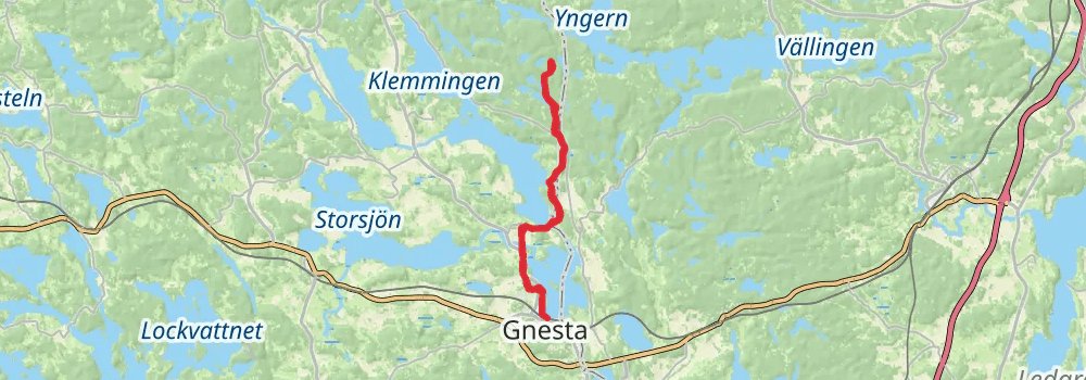
Starting at: Södertälje kommun, Stockholm County, 155 94
Ending at: Södertälje kommun, Stockholm County, 155 94
Distance: 26.5 km
Elevation gain: 561 m
Duration: 06:14:00
stage 8
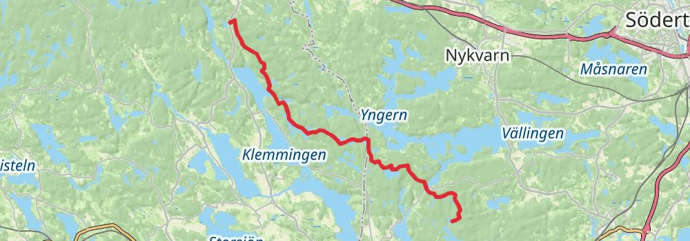
Starting at: Södertälje kommun, Stockholm County, 150 21
Distance: 17.5 km
Elevation gain: 429 m
Duration: 04:13:03
spur 6
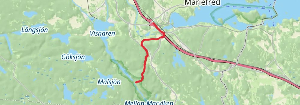
Distance: 12.4 km
Elevation gain: 284 m
Duration: 02:56:39
alt 1
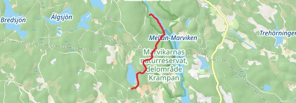
Ending at: Gnesta kommun, Södermanland County, 646 95
Distance: 3.6 km
Elevation gain: 96 m
Duration: 00:52:11
stage 9
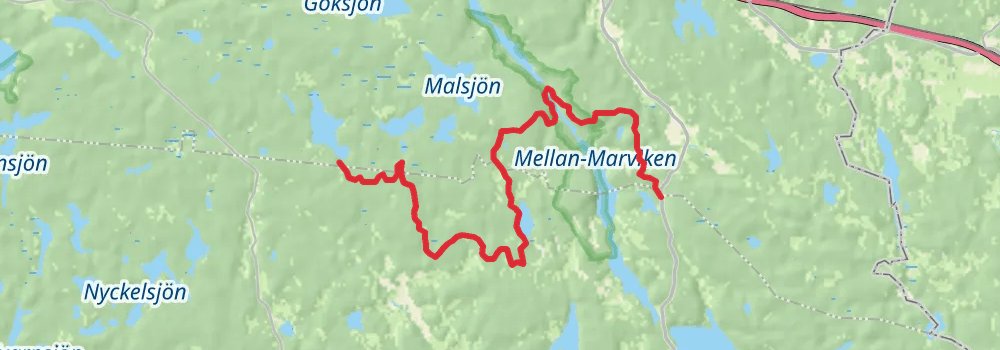
Starting at: Strängnäs kommun, Södermanland County, 647 92
Ending at: Strängnäs kommun, Södermanland County
Distance: 23.4 km
Elevation gain: 409 m
Duration: 05:22:14
stage 10
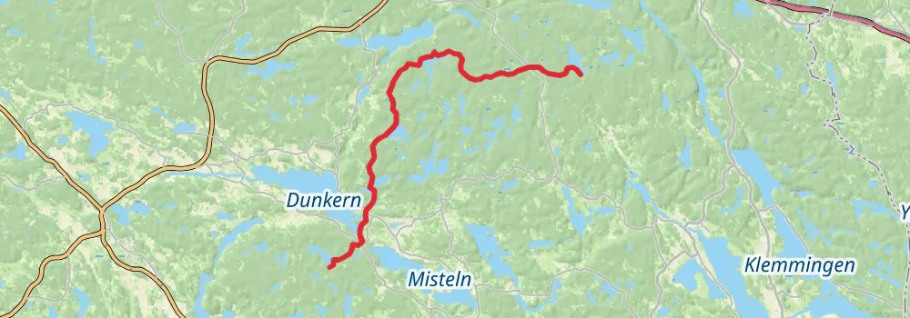
Starting at: Strängnäs kommun, Södermanland County
Ending at: Flens kommun, Södermanland County, 165 00
Distance: 14.0 km
Elevation gain: 243 m
Duration: 03:12:29
stage 11
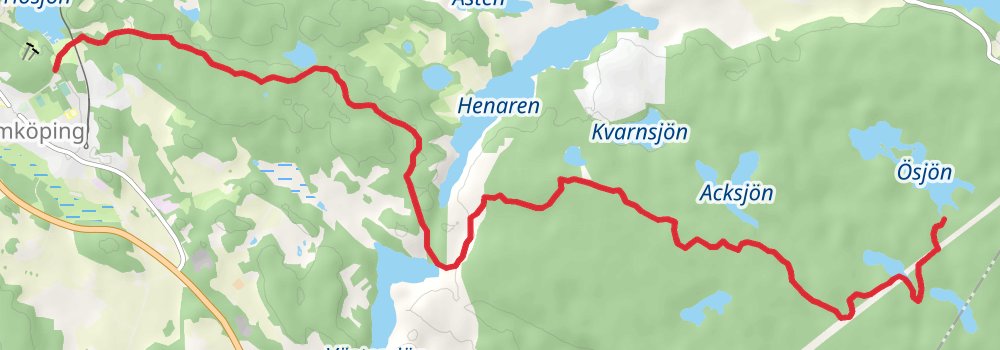
Starting at: Flens kommun, Södermanland County, 165 00
Distance: 26.5 km
Elevation gain: 498 m
Duration: 06:08:06
stage 12
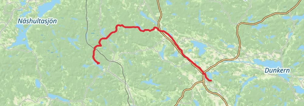
Distance: 15.2 km
Elevation gain: 297 m
Duration: 03:32:38
spur 7
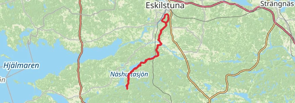
Starting at: Svalboviken, Södermanland County
Ending at: Svalboviken, Södermanland County
Distance: 70.1 km
Elevation gain: 1580 m
Duration: 16:39:29
stage 13
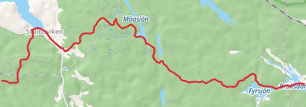
Ending at: Katrineholms kommun, Södermanland County
Distance: 23.7 km
Elevation gain: 426 m
Duration: 05:27:25
stage 14
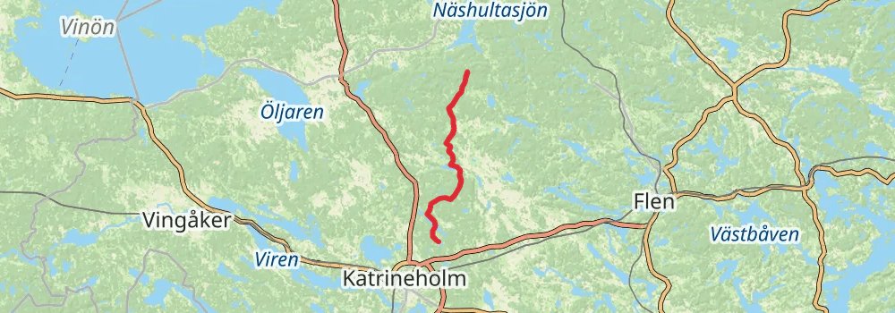
Starting at: Katrineholms kommun, Södermanland County
Distance: 15.9 km
Elevation gain: 242 m
Duration: 03:34:29
spur 8
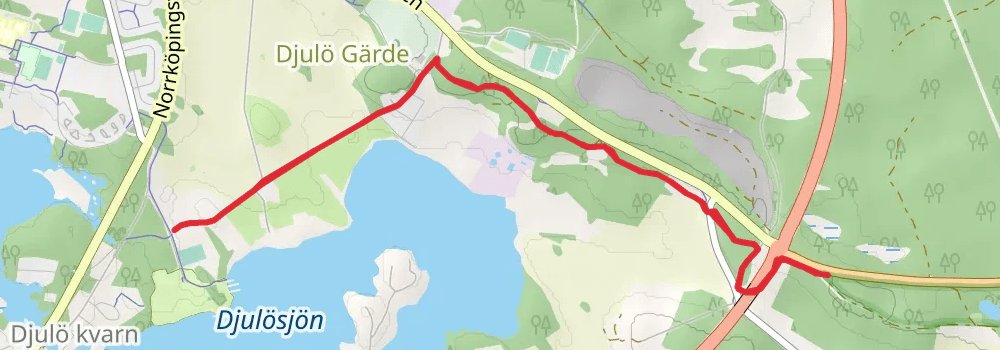
Starting at: Katrineholms kommun, Södermanland County
Ending at: Katrineholms kommun, Södermanland County
Distance: 8.8 km
Elevation gain: 176 m
Duration: 02:02:34
stage 15
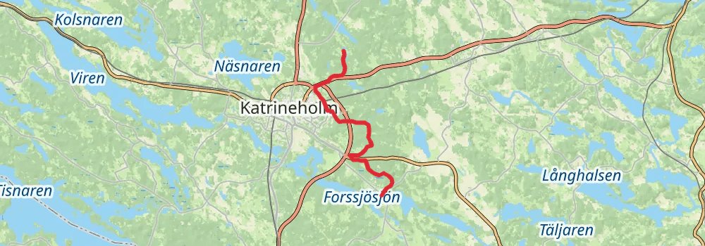
stage 16
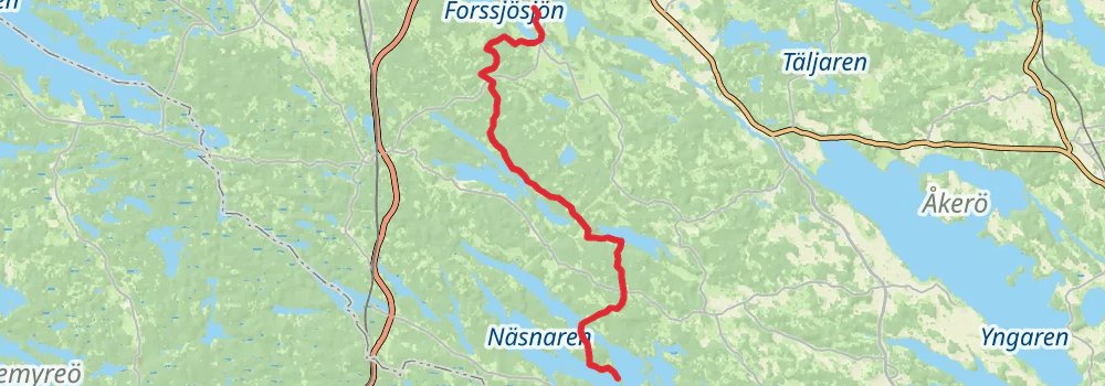
Starting at: Forssjö, Södermanland County
Distance: 16.2 km
Elevation gain: 327 m
Duration: 03:46:59
stage 17
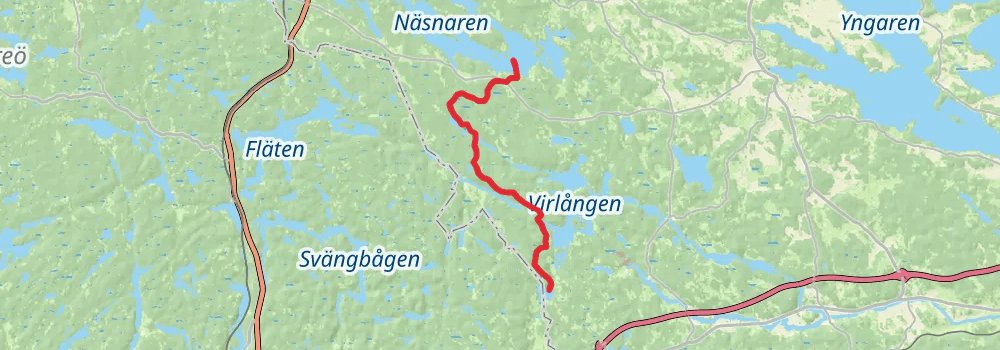
Distance: 26.2 km
Elevation gain: 515 m
Duration: 06:05:38
stage 18
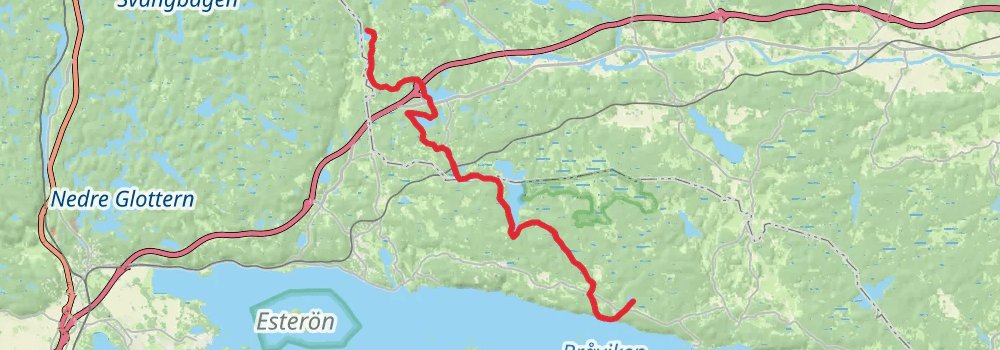
Distance: 20.9 km
Elevation gain: 361 m
Duration: 04:46:45
stage 19
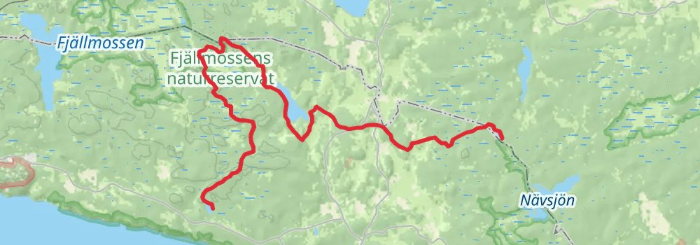
Starting at: Norrköpings kommun, Östergötland County, 618 93
Distance: 12.4 km
Elevation gain: 175 m
Duration: 02:46:43
stage 20
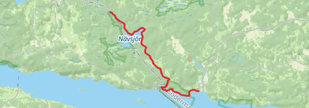
Starting at: Björntorp, Nyköpings kommun, Södermanland County
Distance: 26.5 km
Elevation gain: 639 m
Duration: 06:21:46