GR 160 Camino del Cid trail stages
stage 1
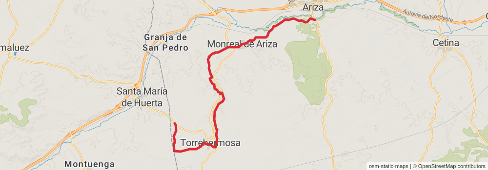
Starting at: Torrehermosa, Torrehermosa
Ending at: Ariza, Comunidad de Calatayud, 50220
Distance: 18.2 km
Elevation gain: 235 m
Duration: 04:01:54
View on mapstage 2
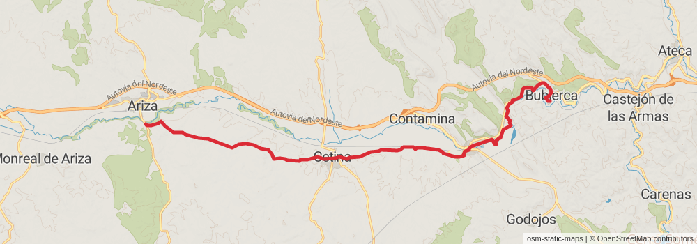
Starting at: Ariza, Comunidad de Calatayud, 50228
Ending at: Bubierca, Bubierca
Distance: 21.5 km
Elevation gain: 288 m
Duration: 04:46:13
View on mapstage 3
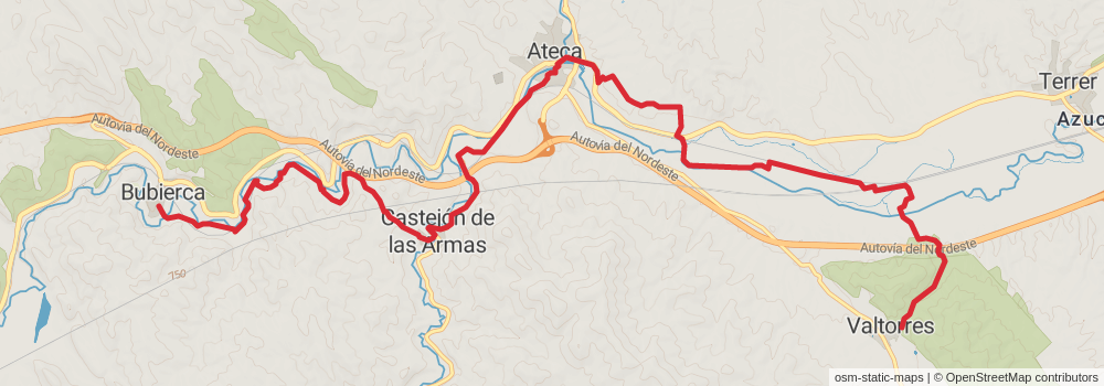
Starting at: Bubierca, Bubierca
Ending at: Valtorres, Valtorres
Distance: 17.8 km
Elevation gain: 360 m
Duration: 04:09:29
View on mapstage 4
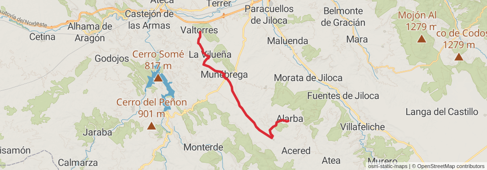
Starting at: Valtorres, Valtorres
Ending at: Alarba, Alarba
Distance: 21.8 km
Elevation gain: 418 m
Duration: 05:03:07
View on mapstage 5
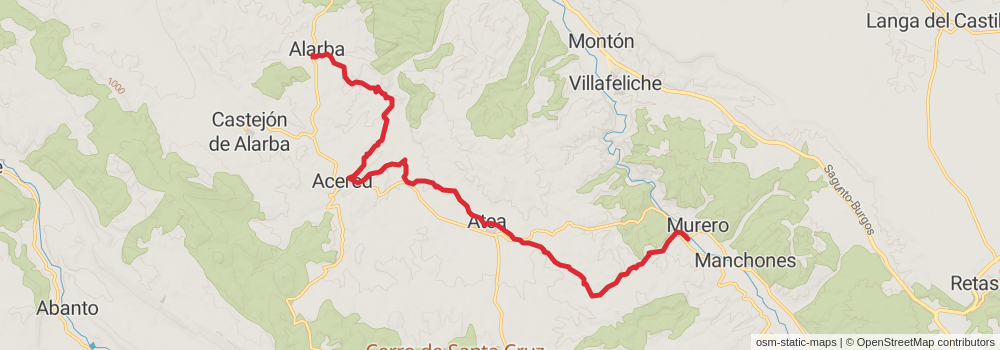
Starting at: Alarba, Alarba
Ending at: Murero, Campo de Daroca
Distance: 19.8 km
Elevation gain: 366 m
Duration: 04:34:19
View on mapstage 6
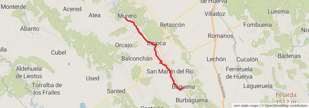
Starting at: Murero, Campo de Daroca
Ending at: Báguena, Báguena
Distance: 21.9 km
Elevation gain: 311 m
Duration: 04:54:12
View on mapstage 7
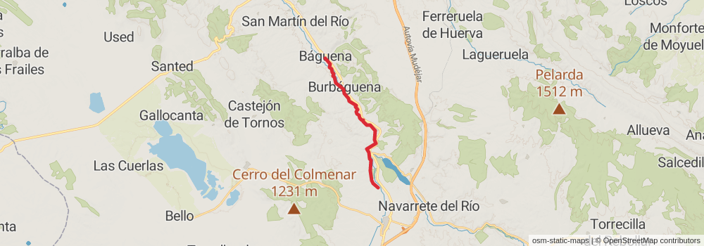
Starting at: Báguena, Báguena
Ending at: Calamocha, Jiloca, 44200
Distance: 13.9 km
Elevation gain: 154 m
Duration: 03:01:36
View on mapstage 8
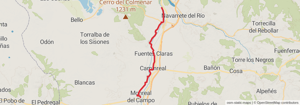
Starting at: Calamocha, Jiloca, 44200
Distance: 22.1 km
Elevation gain: 216 m
Duration: 04:47:09
View on mapstage 9
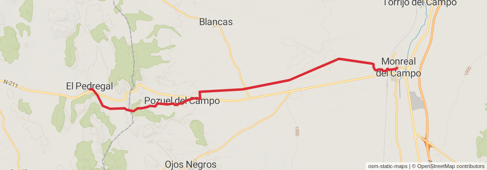
Starting at: Monreal del Campo, Monreal del Campo
Ending at: El Pedregal, El Pedregal
Distance: 20.7 km
Elevation gain: 425 m
Duration: 04:51:16
View on mapstage 10

Starting at: El Pedregal, El Pedregal
Ending at: Tordesilos, Tordesilos
Distance: 21.1 km
Elevation gain: 383 m
Duration: 04:51:34
View on mapstage 11
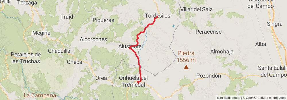
Starting at: Tordesilos, Tordesilos
Distance: 19.6 km
Elevation gain: 388 m
Duration: 04:33:22
View on mapstage 12
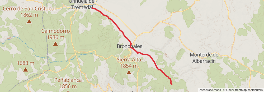
Starting at: Orihuela del Tremedal, Sierra de Albarracín, 44366
Distance: 13.4 km
Elevation gain: 346 m
Duration: 03:15:45
View on mapstage 13
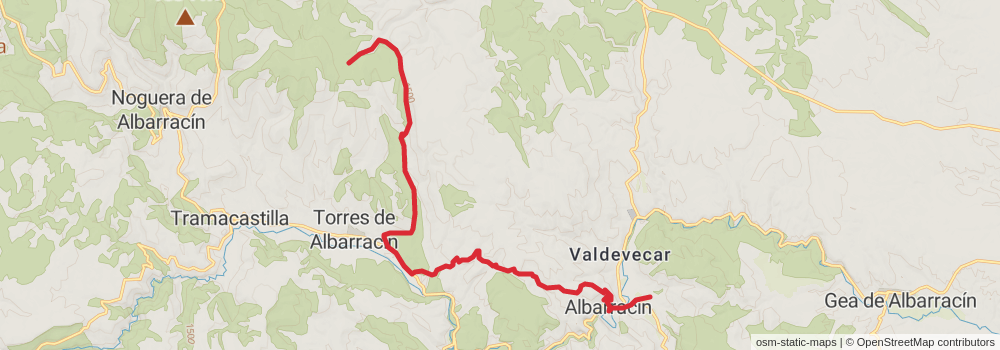
Starting at: Torres de Albarracín, Sierra de Albarracín, 44111
Ending at: Albarracín, Albarracín
Distance: 19.5 km
Elevation gain: 460 m
Duration: 04:40:11
View on mapstage 14

Starting at: Albarracín, Albarracín
Ending at: Cella, Cella
Distance: 19.6 km
Elevation gain: 448 m
Duration: 04:40:04
View on mapstage 15
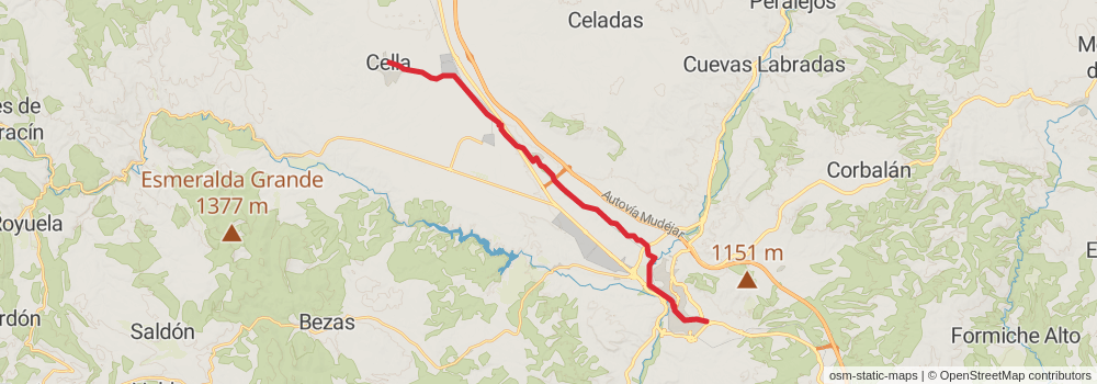
Starting at: Cella, Cella
Ending at: Teruel, Teruel
Distance: 25.3 km
Elevation gain: 221 m
Duration: 05:25:18
View on mapstage 16
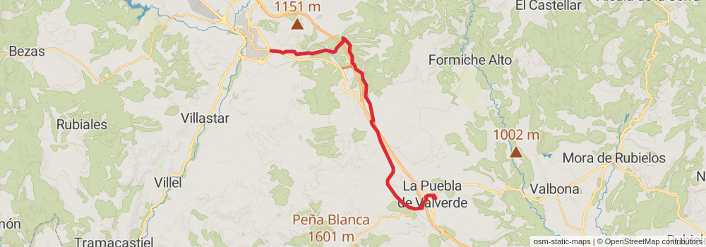
stage 17
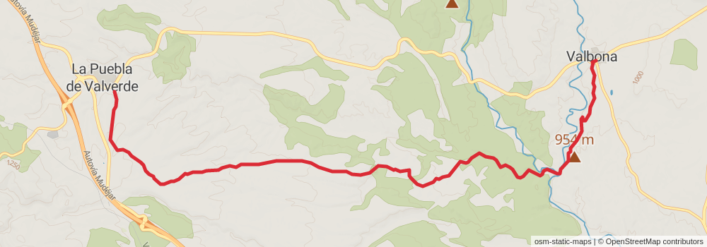
Ending at: Valbona, Gúdar-Javalambre, 44430
Distance: 14.8 km
Elevation gain: 167 m
Duration: 03:14:31
View on mapstage 18
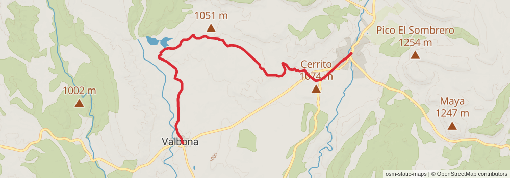
Starting at: Valbona, Valbona
Ending at: Mora de Rubielos, Mora de Rubielos
Distance: 10.4 km
Elevation gain: 193 m
Duration: 02:24:02
View on mapstage 19
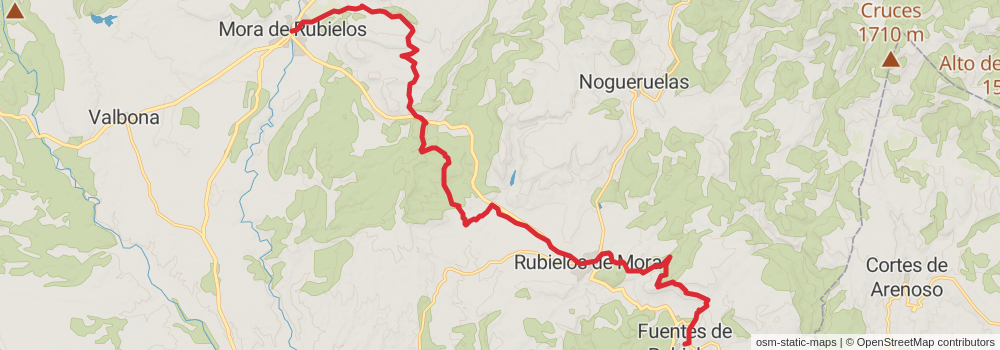
Starting at: Mora de Rubielos, Mora de Rubielos
Ending at: Fuentes De Rubielos, Fuentes De Rubielos
Distance: 24.8 km
Elevation gain: 707 m
Duration: 06:07:57
View on mapstage 20
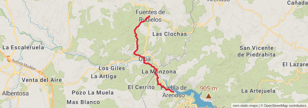
Starting at: Fuentes De Rubielos, Fuentes De Rubielos
Distance: 12.1 km
Elevation gain: 481 m
Duration: 03:13:46
View on mapstage 21
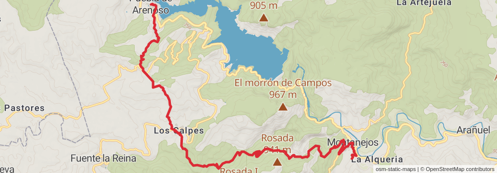
stage 22

stage 23
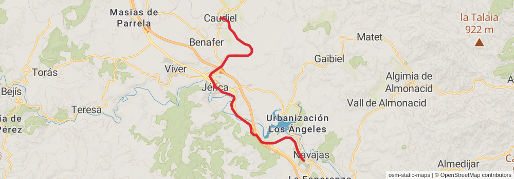
Starting at: Caudiel, Caudiel
Ending at: Navajas, Castelló / Castellón, 12470
Distance: 14.7 km
Elevation gain: 129 m
Duration: 03:09:45
View on mapstage 24
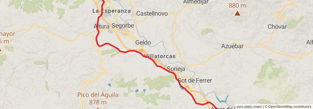
Starting at: Navajas, Castelló / Castellón, 12470
Ending at: Algar de Palancia, Algar de Palancia
Distance: 18.7 km
Elevation gain: 181 m
Duration: 04:02:57
View on map