Download
Preview
Add to list
More
6.1 km
~1 hrs 20 min
75 m
Out and Back
“Explore a scenic 3.7-mile trail near Deerfield Lake with stunning views, wildlife, and rich history.”
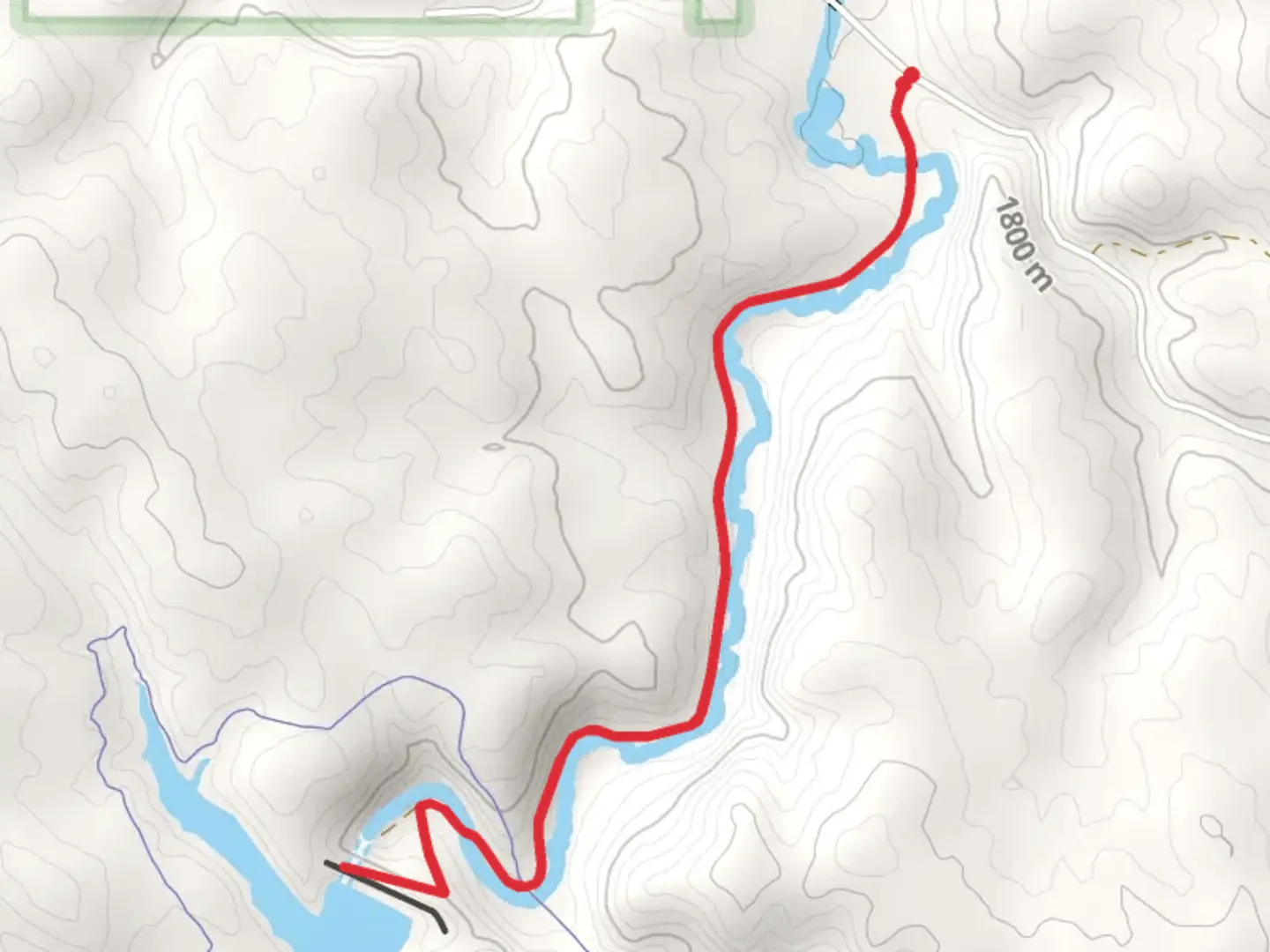
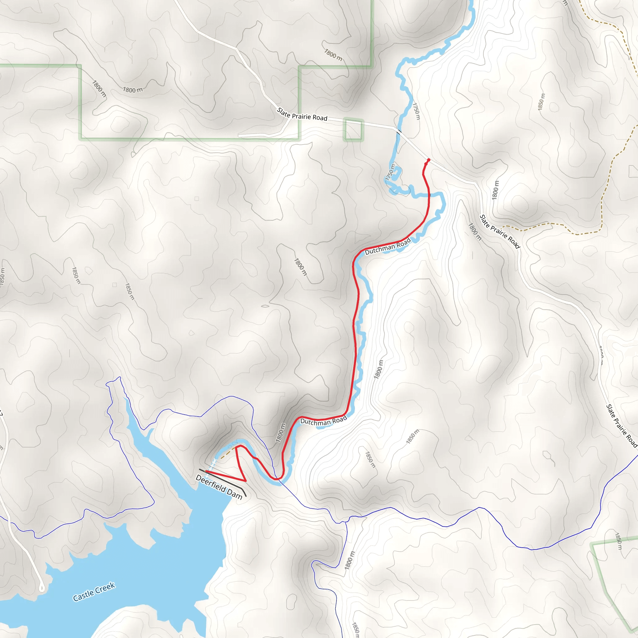
Starting near Pennington County, South Dakota, this 6 km (approximately 3.7 miles) out-and-back trail offers a moderate hiking experience with no significant elevation gain, making it accessible for a wide range of hikers. The trailhead is conveniently located near the Deerfield Lake area, which can be accessed by car. If you're using public transport, the nearest significant landmark is Hill City, SD, from where you may need to arrange a taxi or rideshare to reach the trailhead.
Getting There To reach the trailhead by car, head towards Hill City, SD, and follow the signs for Deerfield Lake. The trailhead is located off Dutchman Road, which is well-marked and easy to find. Parking is available near the trailhead, but it can fill up quickly during peak seasons, so arriving early is advisable.
Trail Overview The trail begins with a gentle path through a mixed forest of ponderosa pines and aspen trees. The first kilometer (0.6 miles) is relatively flat, making it a good warm-up stretch. As you continue, you'll notice the trail meandering alongside the serene Deerfield Lake, offering picturesque views of the water and surrounding hills.
Landmarks and Points of Interest Around the 2 km (1.2 miles) mark, you'll come across a small clearing that provides an excellent spot for a short break or picnic. This area is also a good place to observe local wildlife, including deer, wild turkeys, and a variety of bird species. Keep an eye out for bald eagles, which are known to nest in the area.
Historical Significance The region around Deerfield Lake has a rich history tied to the Black Hills Gold Rush of the late 19th century. While hiking, you may notice remnants of old mining operations, including abandoned equipment and mine shafts. These historical artifacts offer a glimpse into the challenging lives of the miners who once worked in this rugged landscape.
Navigation and Safety The trail is well-marked, but it's always a good idea to have a reliable navigation tool. The HiiKER app is highly recommended for this trail, as it provides detailed maps and real-time updates. There are no significant elevation changes, but the trail can become muddy after rain, so waterproof hiking boots are advisable.
Flora and Fauna The trail is rich in diverse plant life, including wildflowers that bloom in the spring and summer months. You may also encounter various fungi and mosses, particularly in shaded areas. The forest canopy provides ample shade, making this trail a pleasant hike even during warmer months.
Final Stretch As you approach the 3 km (1.85 miles) mark, you'll reach the turnaround point near a scenic overlook of Deerfield Lake. This spot offers a panoramic view of the lake and surrounding hills, making it a perfect place for photos. After taking in the views, retrace your steps back to the trailhead.
This trail offers a blend of natural beauty, historical intrigue, and moderate physical challenge, making it a rewarding hike for those looking to explore the scenic landscapes of South Dakota.
What to expect?
Activity types
Comments and Reviews
User comments, reviews and discussions about the Deerfield Lake via Dutchman Road, South Dakota.
4.45
average rating out of 5
119 rating(s)
