Download
Preview
Add to list
More
5.0 km
~1 hrs 28 min
283 m
Out and Back
“Experience history, lush forests, and stunning vistas on the moderately challenging Water Line Road Trail!”
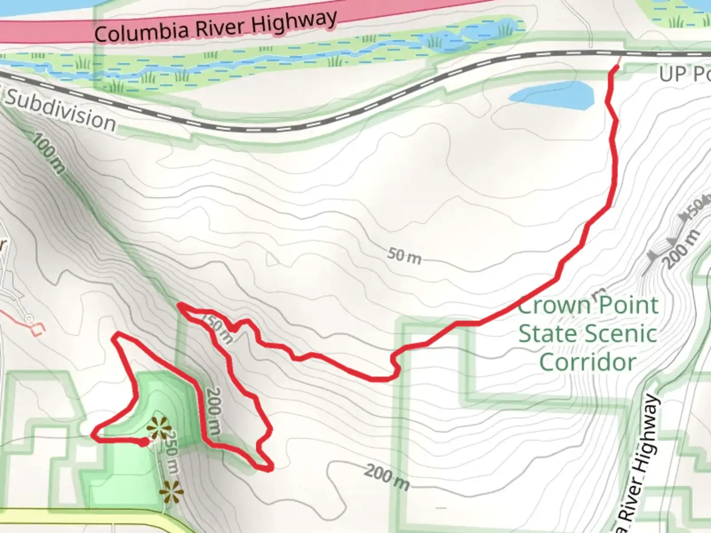
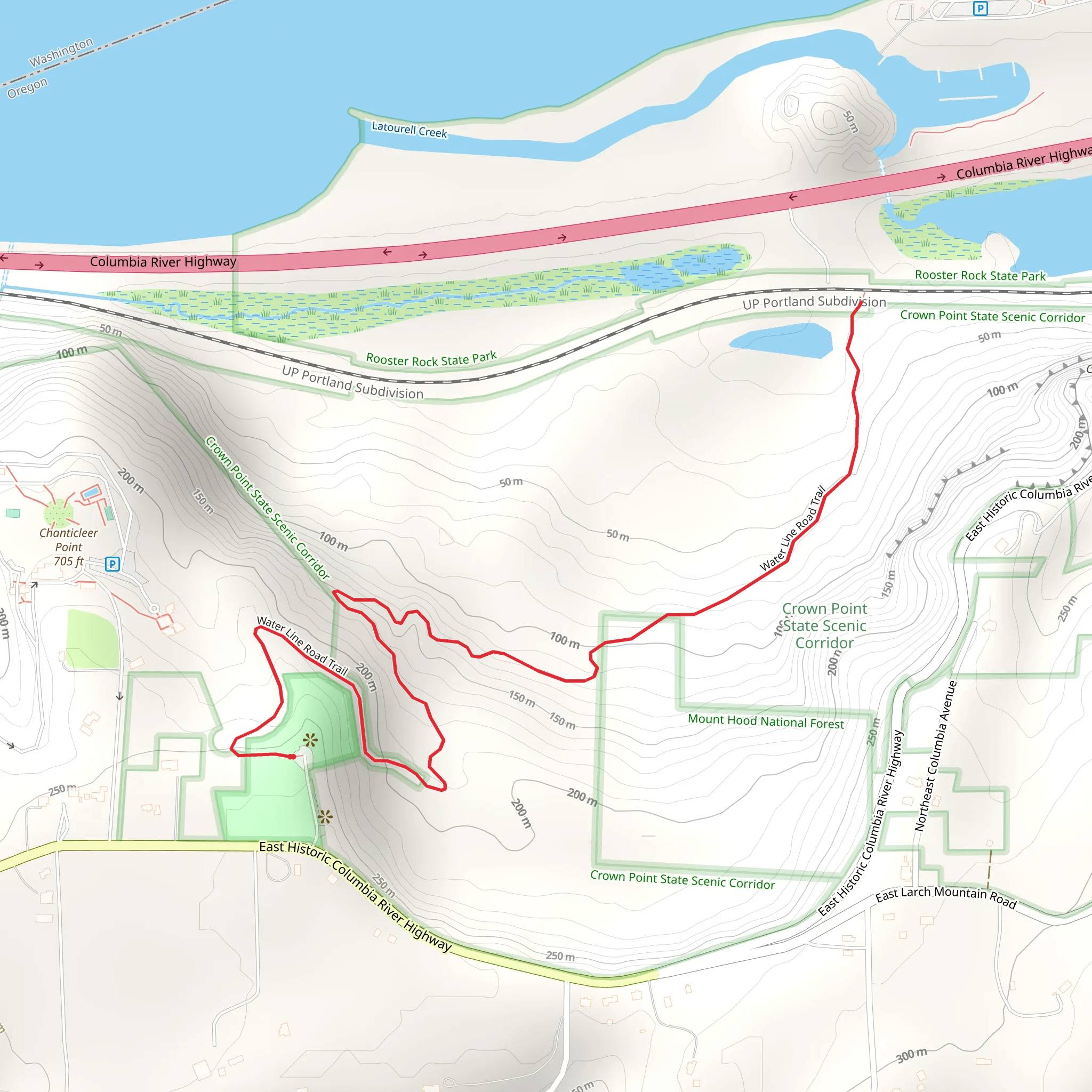
Starting near Multnomah County, Oregon, the Water Line Road Trail offers a moderately challenging hike with a total distance of around 5 km (approximately 3.1 miles) and an elevation gain of about 200 meters (656 feet). This out-and-back trail is perfect for those looking to experience the natural beauty and historical significance of the region.
Getting There To reach the trailhead, you can drive or use public transportation. If driving, head towards the nearest known landmark, the Multnomah Falls Lodge, located at 53000 E Historic Columbia River Hwy, Bridal Veil, OR 97010. From there, it's a short drive to the trailhead. For those using public transport, take the Columbia Gorge Express bus, which stops at Multnomah Falls. From the lodge, you can either walk or take a short taxi ride to the trailhead.
Trail Overview The trail begins with a gentle ascent, winding through lush forests typical of the Pacific Northwest. You'll be surrounded by towering Douglas firs and Western red cedars, creating a canopy that provides ample shade. The first kilometer (0.6 miles) is relatively easy, with a gradual incline that allows you to warm up and enjoy the serene environment.
Significant Landmarks and Nature At around the 1.5 km (0.9 miles) mark, you'll come across a small, picturesque stream. This is a great spot to take a short break and enjoy the sound of flowing water. As you continue, the trail becomes steeper, gaining most of its elevation in the next kilometer (0.6 miles). Keep an eye out for various species of birds, including the Northern Flicker and the American Robin, which are commonly seen in this area.
Historical Significance The Water Line Road Trail has historical significance dating back to the early 20th century. Originally, this path was used to access water lines that supplied nearby communities. Remnants of old pipes and infrastructure can still be seen along the trail, offering a glimpse into the region's past.
Navigation and Safety Given the moderate difficulty of the trail, it's advisable to use a reliable navigation tool like HiiKER to ensure you stay on the correct path. The trail is well-marked, but having a digital map can provide extra assurance.
Wildlife and Flora As you approach the 3 km (1.9 miles) mark, the trail levels out, offering stunning views of the surrounding landscape. During spring and summer, the area is adorned with wildflowers such as Trillium and Oregon Grape. Deer and occasionally black bears have been spotted, so it's essential to stay alert and make noise to avoid surprising any wildlife.
Final Stretch The last stretch of the trail is a gentle descent back to the trailhead. This section offers a different perspective of the forest, with more open areas that allow sunlight to filter through. It's a perfect way to end the hike, providing a sense of accomplishment and tranquility.
Whether you're a seasoned hiker or someone looking to explore the natural beauty of Multnomah County, the Water Line Road Trail offers a rewarding experience filled with historical intrigue, diverse wildlife, and breathtaking scenery.
What to expect?
Activity types
Comments and Reviews
User comments, reviews and discussions about the Water Line Road Trail, Oregon.
4.47
average rating out of 5
15 rating(s)
