Download
Preview
Add to list
More
19.8 km
~1 day 0 hrs
1130 m
Out and Back
“Explore Oregon's lush landscapes on the 20 km Green Peter trail, featuring forests, waterfalls, and panoramic views.”
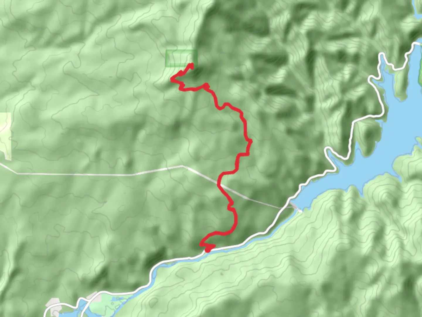
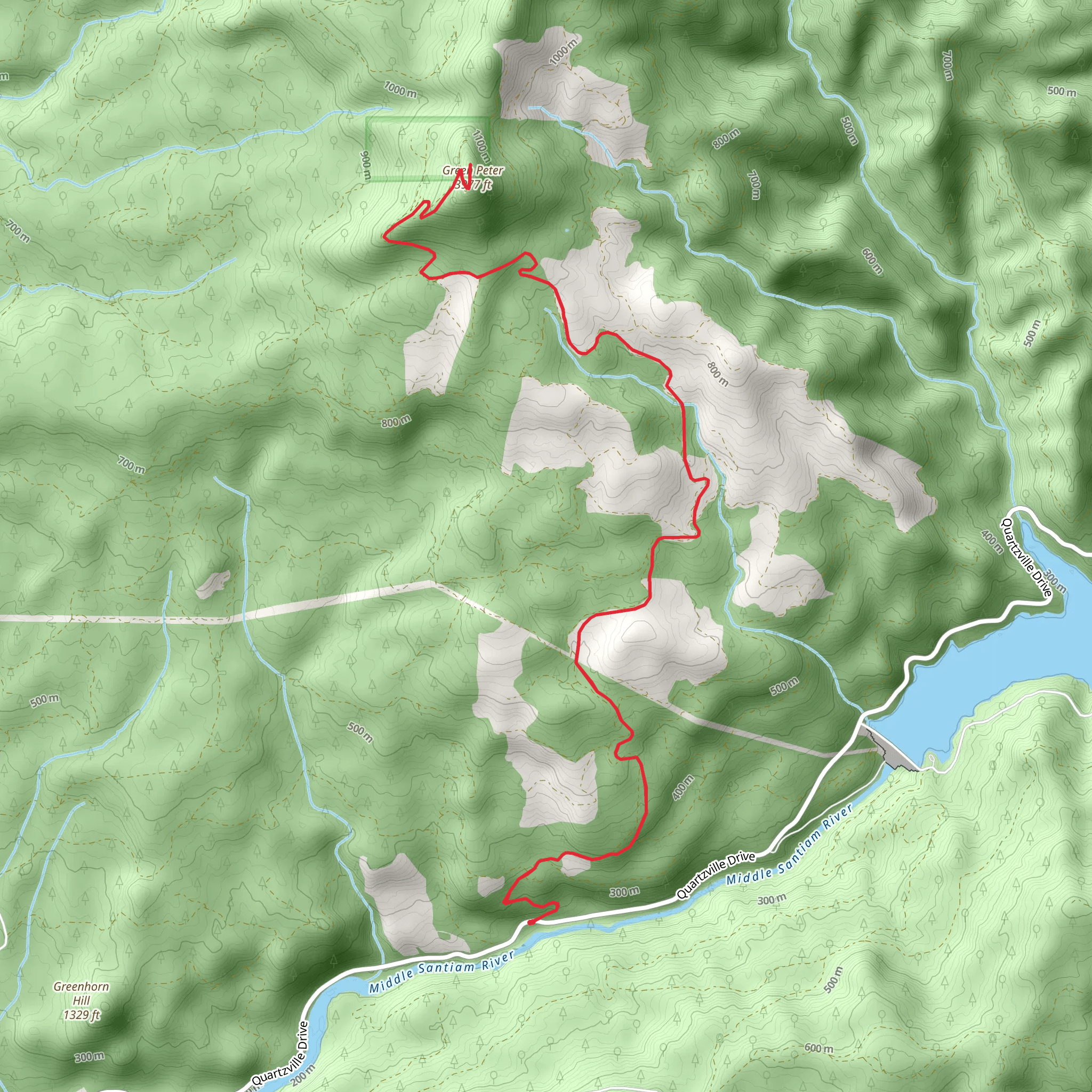
Starting near Linn County, Oregon, the Green Peter trail offers a rewarding out-and-back hike of approximately 20 km (12.4 miles) with an elevation gain of around 1100 meters (3609 feet). This medium-difficulty trail is perfect for those looking to experience the lush landscapes of the Pacific Northwest.
Getting There To reach the trailhead, you can drive or use public transport. If driving, head towards the Green Peter Reservoir area, which is well-signposted from major roads in Linn County. The nearest significant landmark is the Green Peter Dam. For those using public transport, the closest bus stop is in Sweet Home, Oregon. From there, you may need to arrange a taxi or rideshare to the trailhead, as public transport options directly to the trailhead are limited.
Trail Overview The trail begins near the Green Peter Dam, a notable landmark in the area. The initial section of the trail is relatively gentle, allowing hikers to warm up as they traverse through dense forests of Douglas fir and western hemlock. After about 3 km (1.9 miles), the trail starts to ascend more steeply, offering glimpses of the Green Peter Reservoir below.
Flora and Fauna As you hike, keep an eye out for the diverse flora and fauna. The trail is home to a variety of bird species, including the northern spotted owl and the American dipper. You might also encounter black-tailed deer and, if you're lucky, a black bear. The forest floor is carpeted with ferns and mosses, adding to the trail's enchanting atmosphere.
Significant Landmarks At around the 5 km (3.1 miles) mark, you'll come across a small waterfall, a perfect spot for a short break. The sound of cascading water and the cool mist provide a refreshing respite before you continue your ascent.
Historical Significance The region around Green Peter has a rich history. The Green Peter Dam, constructed in the 1960s, was part of a larger flood control and hydroelectric project. The area was also historically inhabited by the Kalapuya people, and you may notice interpretive signs along the trail that provide insights into their way of life.
Navigation and Safety Given the trail's moderate difficulty, it's advisable to use a reliable navigation tool like HiiKER to keep track of your progress and ensure you stay on the correct path. The trail is well-marked, but weather conditions can change rapidly, so be prepared for rain and cooler temperatures, especially at higher elevations.
Final Ascent The final 3 km (1.9 miles) of the trail are the most challenging, with a steep climb that rewards you with panoramic views of the surrounding mountains and valleys. The summit offers a perfect vantage point to take in the beauty of the Pacific Northwest, making the effort well worth it.
Return Journey The descent follows the same path, allowing you to revisit the landmarks and perhaps notice details you missed on the way up. Make sure to pace yourself and take breaks as needed, especially on the steeper sections.
This trail offers a comprehensive experience of Oregon's natural beauty, from dense forests and waterfalls to panoramic mountain views, making it a must-visit for any hiking enthusiast.
What to expect?
Activity types
Comments and Reviews
User comments, reviews and discussions about the Green Peter, Oregon.
4.57
average rating out of 5
14 rating(s)
