Download
Preview
Add to list
More
10.0 km
~2 hrs 51 min
522 m
Out and Back
“Explore Maiden Lake's serene forests, vibrant wildlife, and rich history on this 10 km rewarding hike.”
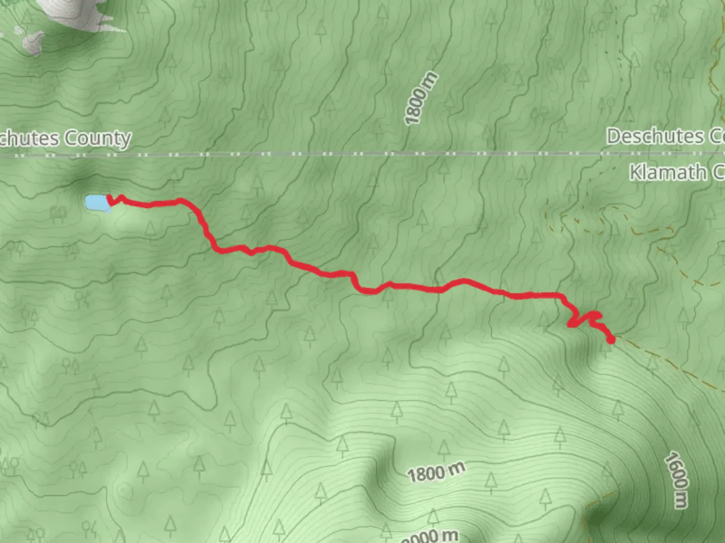
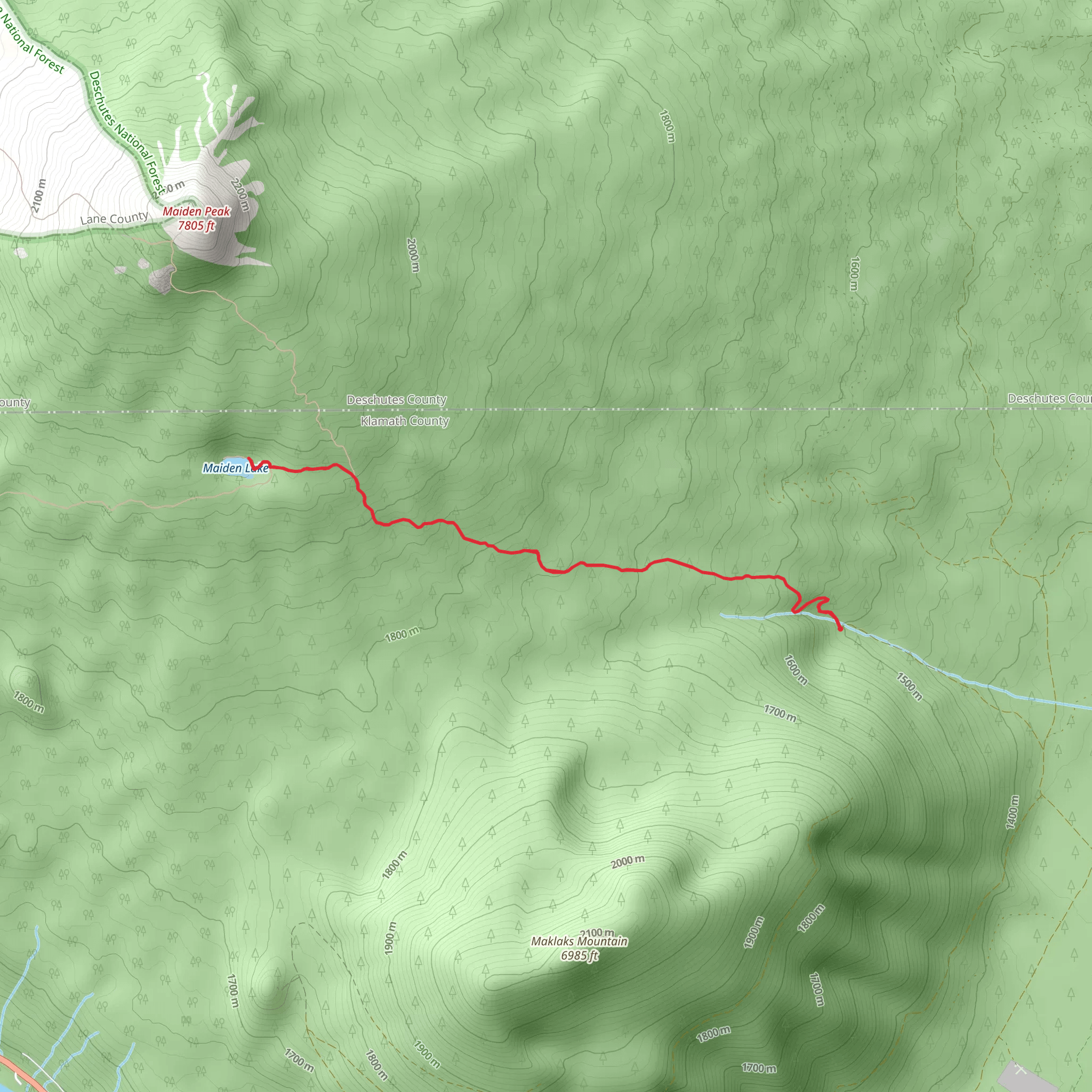
Starting near Klamath County, Oregon, the trailhead for this 10 km (6.2 miles) out-and-back hike can be accessed via National Forest Development Road. If you're driving, you can park at the designated area near the trailhead. For those relying on public transport, the nearest significant landmark is the town of Crescent, Oregon. From Crescent, you may need to arrange a taxi or rideshare to reach the trailhead, as public transport options are limited in this remote area.
Trail Overview
The Maiden Lake trail offers a moderate challenge with an elevation gain of approximately 500 meters (1,640 feet). The trail is well-marked and maintained, making it suitable for hikers with a reasonable level of fitness. The path meanders through dense forests of Douglas fir and ponderosa pine, providing ample shade and a serene atmosphere.
Key Landmarks and Points of Interest
1. Forest Canopy and Flora: At around 2 km (1.2 miles) into the hike, you'll notice the forest canopy thickening. This section is particularly beautiful in the fall when the leaves change color. Keep an eye out for wildflowers such as lupines and Indian paintbrushes during the spring and summer months.
2. Wildlife: The area is home to a variety of wildlife, including deer, elk, and occasionally black bears. Birdwatchers will enjoy spotting species like the Steller's jay and the northern flicker. Always maintain a safe distance from wildlife and store food securely to avoid attracting animals.
3. Maiden Lake: At approximately 5 km (3.1 miles), you'll reach Maiden Lake, the turnaround point of the hike. This pristine alpine lake is a perfect spot for a picnic or a quick swim in the summer months. The lake is surrounded by towering pines and offers stunning views of the surrounding mountains.
Historical Significance
The region around Maiden Lake has a rich history. It was originally inhabited by the Klamath and Modoc tribes, who used the area for hunting and gathering. In the late 19th century, European settlers arrived, and the area became known for its logging industry. Remnants of old logging roads can still be seen along the trail, adding a historical dimension to your hike.
Navigation and Safety
For navigation, it's highly recommended to use the HiiKER app, which provides detailed maps and real-time updates. The trail is generally well-marked, but having a reliable navigation tool can be invaluable, especially if you decide to explore any of the side trails.
Getting There
To reach the trailhead by car, take Highway 97 to Crescent, Oregon. From Crescent, follow signs for National Forest Development Road. The trailhead is located near the intersection of this road and the forest boundary. Parking is available, but it can fill up quickly on weekends, so an early start is advisable.
For those using public transport, the nearest bus stop is in Crescent. From there, you will need to arrange for a taxi or rideshare to take you the remaining distance to the trailhead. Be sure to plan your return trip in advance, as mobile service can be spotty in this remote area.
This hike offers a rewarding experience with its mix of natural beauty, wildlife, and historical significance. Whether you're a seasoned hiker or a casual adventurer, the Maiden Lake trail provides a memorable outdoor experience.
What to expect?
Activity types
Comments and Reviews
User comments, reviews and discussions about the Maiden Lake Ofrom National forest Development Road, Oregon.
4.31
average rating out of 5
16 rating(s)
