Download
Preview
Add to list
More
14.2 km
~3 hrs 26 min
353 m
Out and Back
“Embark on a 14-km historic hike with panoramic views and rich history near Hood River County, Oregon.”
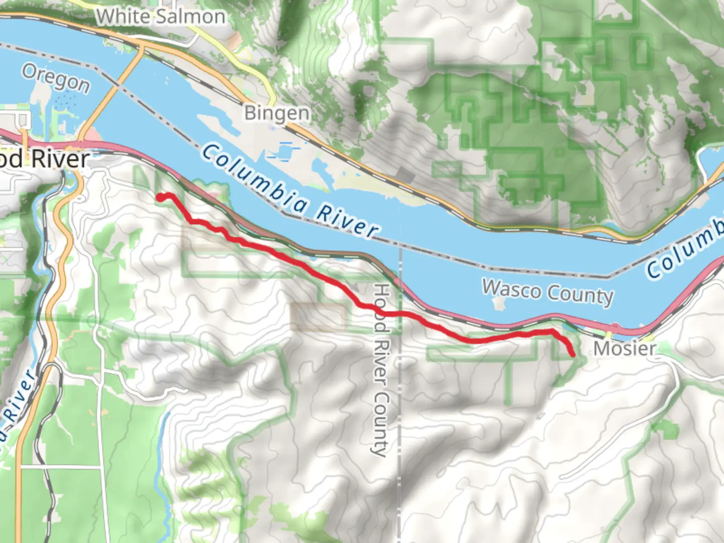
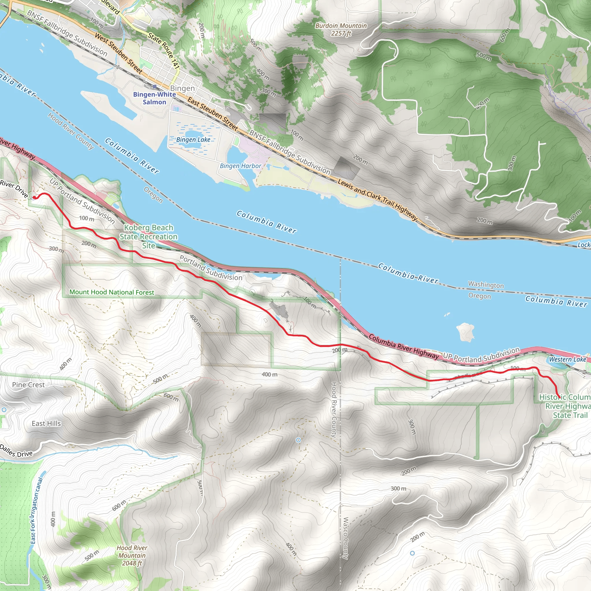
Starting near Hood River County, Oregon, the Historic Columbia River Highway State Trail Out and Back spans approximately 14 kilometers (around 8.7 miles) with an elevation gain of about 300 meters (approximately 984 feet). This trail is a medium-difficulty hike that offers a blend of natural beauty and historical significance.
Getting There To reach the trailhead, you can drive or use public transportation. If driving, head towards Hood River County and look for parking near the Mark O. Hatfield Trailhead. For those using public transport, the Columbia Area Transit (CAT) offers services from Portland to Hood River, where you can then take a local taxi or rideshare to the trailhead.
Trail Overview The trail is an out-and-back type, meaning you'll hike to a certain point and then return the same way. The path is well-maintained and suitable for hikers of varying skill levels, though some sections can be moderately challenging due to the elevation gain.
Historical Significance The Historic Columbia River Highway is a marvel of early 20th-century engineering. Constructed between 1913 and 1922, it was the first scenic highway in the United States designed specifically for automobiles. As you hike, you'll encounter remnants of the original road, including old stone guardrails and tunnels, which offer a glimpse into the past.
Key Landmarks and Points of Interest - **Mosier Twin Tunnels (approx. 3.2 km / 2 miles in):** These historic tunnels were restored for pedestrian and bicycle use. They offer stunning views of the Columbia River Gorge and are a highlight of the trail. - **Rowena Crest Viewpoint (approx. 7 km / 4.3 miles in):** This viewpoint provides panoramic views of the Columbia River and the surrounding landscape. It's an excellent spot for photography and a rest break. - **Wildflowers and Wildlife:** Depending on the season, you may encounter a variety of wildflowers, including lupines and balsamroot. Wildlife such as deer, eagles, and various bird species are also commonly seen along the trail.
Navigation and Safety Using HiiKER for navigation is highly recommended. The app provides detailed maps and real-time updates, ensuring you stay on the correct path. The trail is generally well-marked, but having a reliable navigation tool can enhance your hiking experience.
Trail Conditions and Preparation The trail surface varies from paved sections to gravel paths. Wear sturdy hiking boots and bring plenty of water, especially during the warmer months. Weather can change rapidly in the Columbia River Gorge, so pack layers and be prepared for both sun and rain.
Accessibility The trail is accessible year-round, but the best times to hike are during the spring and fall when temperatures are moderate, and the landscape is particularly vibrant. During winter, some sections may be icy or snow-covered, so check trail conditions before heading out.
This hike offers a unique combination of natural beauty and historical intrigue, making it a rewarding experience for those who venture along its path.
What to expect?
Activity types
Comments and Reviews
User comments, reviews and discussions about the Historic Columbia River Highway State Trail Out and Back, Oregon.
4.4
average rating out of 5
10 rating(s)
