Download
Preview
Add to list
More
14.2 km
~2 hrs 57 min
66 m
Out and Back
“Explore the scenic, historic, and wildlife-rich Three Forks Trail, a 14 km accessible hike near Muskogee, Oklahoma.”
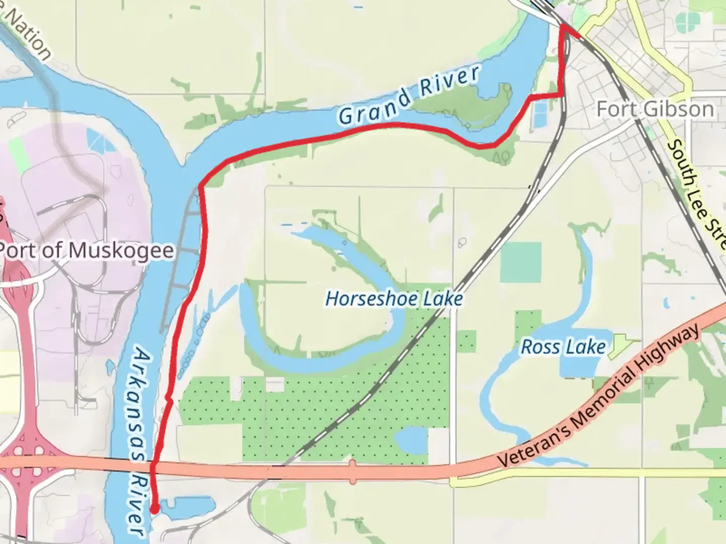
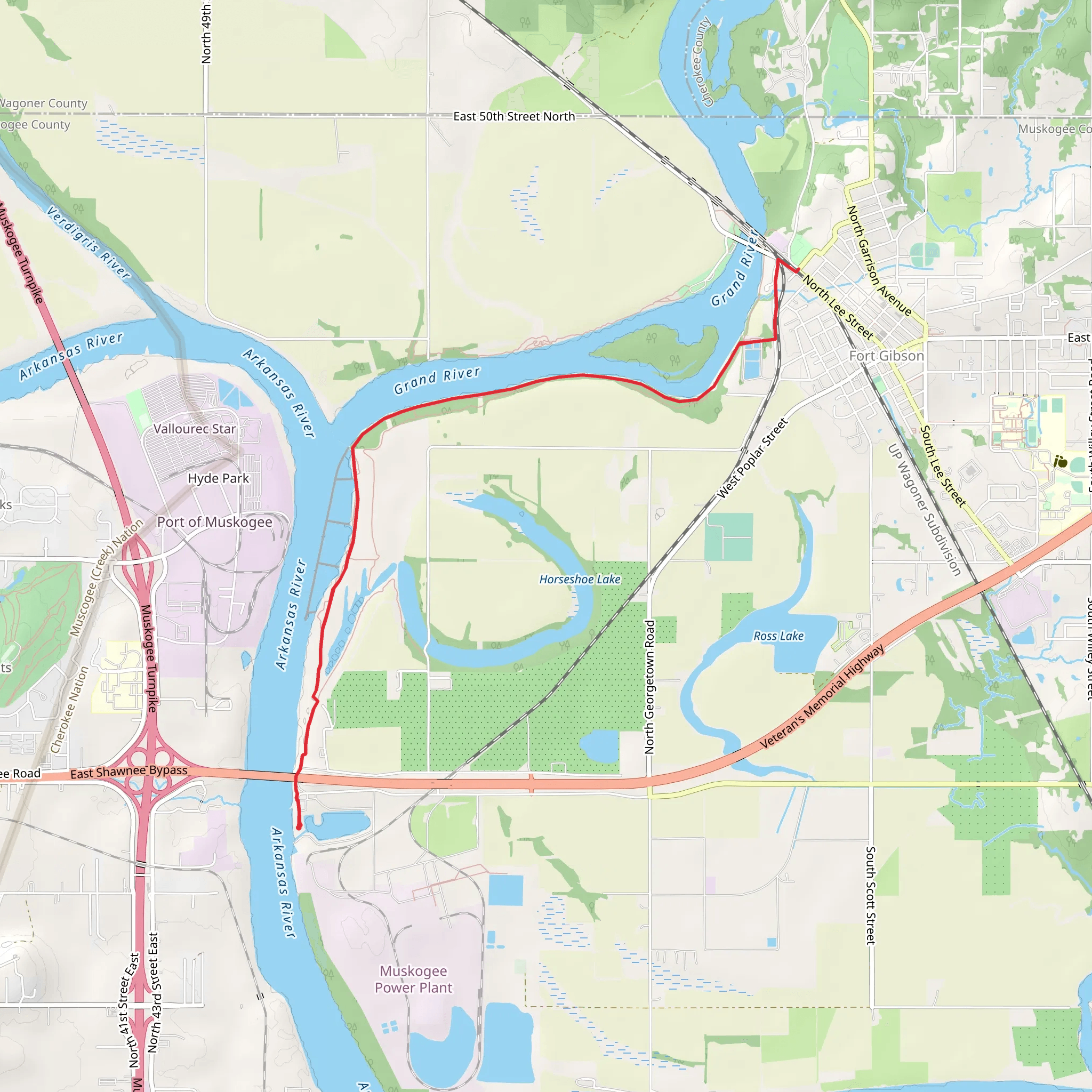
Starting near Muskogee County, Oklahoma, the Three Forks Trail is an inviting 14 km (approximately 8.7 miles) out-and-back journey with no significant elevation gain, making it accessible for hikers of varying skill levels. The trailhead is conveniently located near the Three Forks Harbor, a well-known landmark in the area.
Getting There For those traveling by car, the trailhead is easily accessible from Muskogee. Head towards the Three Forks Harbor, located at 5201 Three Forks Rd, Fort Gibson, OK 74434. Ample parking is available at the harbor. If you prefer public transport, the nearest bus stop is in Muskogee, from where you can take a taxi or rideshare service to the trailhead.
Trail Navigation To ensure you stay on course, it's advisable to use HiiKER for real-time navigation and trail updates. The trail is well-marked, but having a reliable navigation tool can enhance your hiking experience.
Trail Highlights The Three Forks Trail meanders through a diverse landscape, offering a mix of wooded areas, open meadows, and river views. Early on, you'll traverse through dense forest, where the canopy provides ample shade. This section is particularly beautiful in the fall when the leaves change color.
Flora and Fauna As you progress, the trail opens up into meadows filled with wildflowers during the spring and summer months. Keep an eye out for local wildlife, including white-tailed deer, rabbits, and a variety of bird species. The trail is also home to several species of butterflies, making it a delightful experience for nature enthusiasts.
Historical Significance The region around the Three Forks Trail is steeped in history. The trail gets its name from the confluence of the Arkansas, Verdigris, and Grand Rivers, a significant area for Native American tribes and early settlers. The nearby Fort Gibson, established in 1824, played a crucial role in the Indian Removal Act and the Trail of Tears. A visit to the fort, located just a short drive from the trailhead, can provide a deeper understanding of the area's historical context.
Points of Interest Around the 5 km (3.1 miles) mark, you'll come across a scenic overlook that offers panoramic views of the Arkansas River. This is an excellent spot for a break and some photography. Continuing on, the trail runs parallel to the river, providing serene water views and opportunities for spotting waterfowl.
Trail Conditions The trail is relatively flat, with a well-maintained dirt path that can become muddy after rain. Waterproof hiking boots are recommended, especially during the wetter months. There are a few small creek crossings, but they are generally easy to navigate.
Safety and Preparation Given the trail's moderate difficulty, it's essential to bring plenty of water, especially during the hot summer months. Insect repellent is also advisable due to the presence of mosquitoes and ticks. Cell phone reception can be spotty in some areas, so inform someone of your hiking plans before you set out.
Final Stretch The turnaround point is marked by a large oak tree near the riverbank, a perfect spot for a picnic before heading back. The return journey offers a different perspective of the trail, with the afternoon light casting a warm glow on the landscape.
By following these guidelines and using HiiKER for navigation, you'll be well-prepared to enjoy the natural beauty and historical richness of the Three Forks Trail.
What to expect?
Activity types
Comments and Reviews
User comments, reviews and discussions about the Three Forks Trail, Oklahoma.
4.51
average rating out of 5
148 rating(s)
