Download
Preview
Add to list
More
28.1 km
~1 day 1 hrs
676 m
Loop
“Embark on the Starrett Ridge - Long Ridge Loop, a historic trek through Ohio's diverse terrains and breathtaking vistas.”
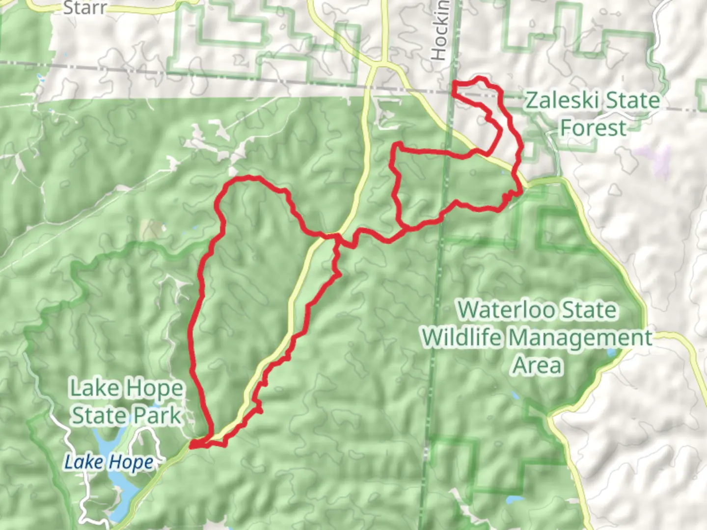
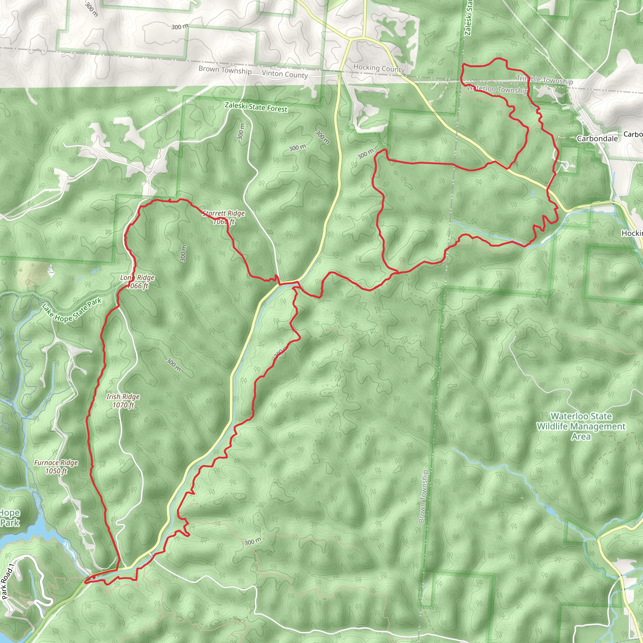
The Starrett Ridge - Long Ridge Loop is a captivating journey through the diverse landscapes of Vinton County, Ohio. Spanning approximately 28 kilometers (about 17.4 miles) with an elevation gain of around 600 meters (nearly 1968 feet), this loop trail offers a medium difficulty rating, making it accessible to hikers with a reasonable level of fitness.
Starting near the small town of Vinton County, the trailhead is conveniently located for those arriving by car. For those relying on public transportation, regional bus services may get you close to the area, but you will likely need to arrange a taxi or a ride-share to reach the trailhead itself.
Navigating the Trail
As you embark on the Starrett Ridge - Long Ridge Loop, you'll find the trail well-marked, but carrying a reliable navigation tool like HiiKER is recommended to ensure you stay on the right path. The trail begins with a gentle incline as you make your way through a mixed hardwood forest, the canopy providing a dappled shade that is particularly welcome during the warmer months.
Natural Features and Wildlife
The loop takes you through a variety of terrains, from dense woodlands to open meadows, where wildflowers bloom in the spring and summer. The area is rich in wildlife, and it's not uncommon to spot white-tailed deer, red-tailed hawks, and a variety of songbirds. Keep an eye out for the occasional footprint of coyotes or bobcats, although these shy creatures tend to keep their distance from hikers.
Historical Significance
As you hike, you'll be treading through a region steeped in history. Vinton County and its surroundings were once the home of Native American tribes, and later, the land played a role in the early pioneer days. While the trail itself may not feature explicit historical landmarks, the sense of walking through an area that has been traversed for centuries adds a layer of depth to your hike.
Elevation and Terrain Challenges
The most challenging part of the hike comes as you approach the halfway mark, where the trail ascends to the ridge line. Here, you'll gain most of the elevation, with some steep sections that will test your endurance. However, the reward is the stunning view from the top, where on a clear day, you can see for miles across the rolling hills of Ohio.
Descending and Completing the Loop
After enjoying the panoramic views, the trail begins its descent. The downward path is less steep than the ascent but requires careful footing due to loose rocks and leaves. As you complete the loop, the terrain becomes more level, and you'll find yourself back in the serene forest, eventually closing the loop at the trailhead where you began.
Accessing the Trail
To get to the trailhead by car, navigate towards Vinton County, Ohio, and follow the local road signs directing you to the designated parking area for the Starrett Ridge - Long Ridge Loop. There is usually ample parking available, but it's wise to arrive early during peak hiking season to secure a spot.
Remember to pack enough water and snacks for the journey, wear appropriate footwear, and check the weather forecast before you set out. With its moderate difficulty and rich natural and historical context, the Starrett Ridge - Long Ridge Loop is a rewarding experience for any hiker looking to explore the beauty of Ohio's landscapes.
What to expect?
Activity types
Comments and Reviews
User comments, reviews and discussions about the Starrett Ridge - Long Ridge Loop, Ohio.
4.43
average rating out of 5
21 rating(s)
