Download
Preview
Add to list
More
13.9 km
~3 hrs 14 min
281 m
Point-to-Point
“Traverse the Sperrins' splendor on the scenic, historic Moneyneany to Dungiven trail, fit for avid hikers.”
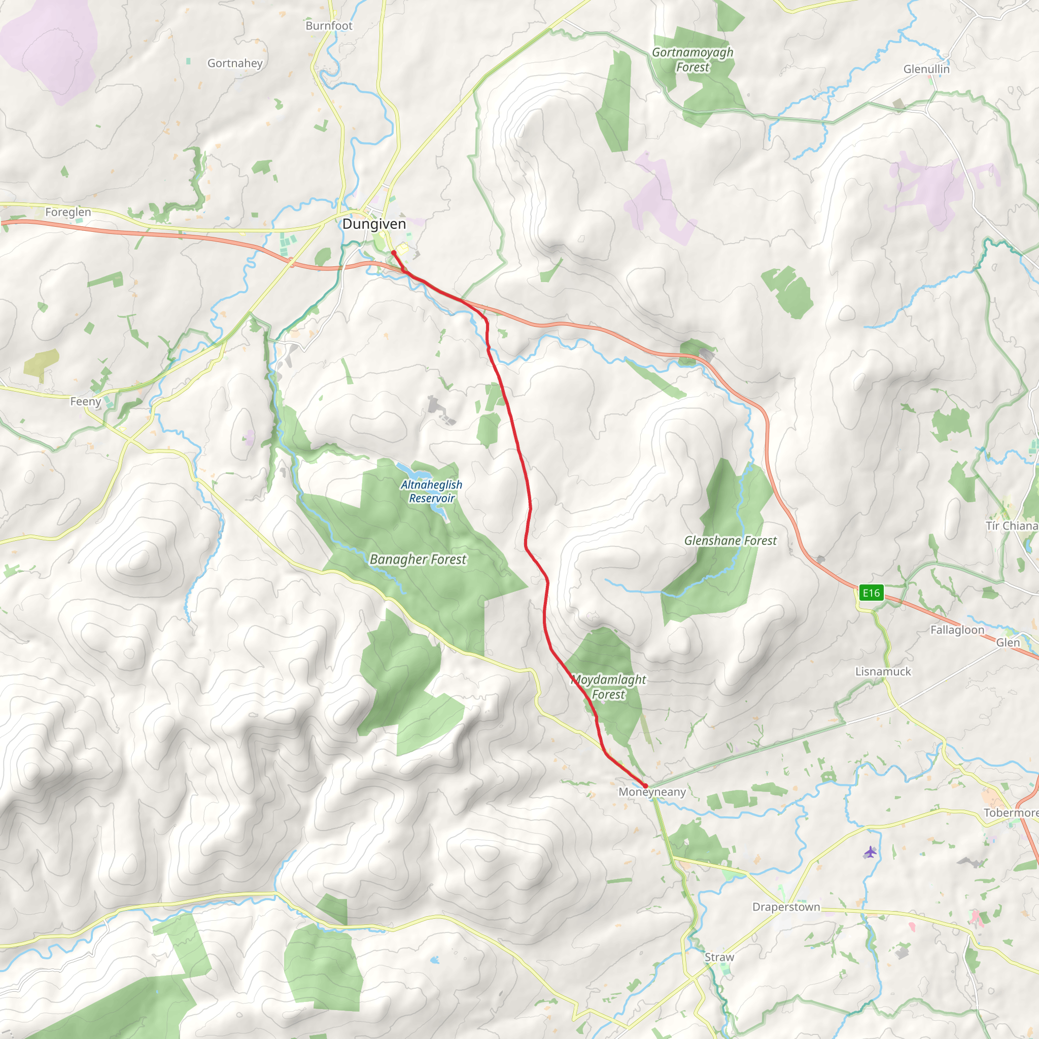
Embarking on the Moneyneany to Dungiven trail, hikers will traverse approximately 14 kilometers (about 8.7 miles) through the scenic Sperrin Mountains, with an elevation gain of around 200 meters (approximately 656 feet). This point-to-point trail, nestled near County Londonderry in Northern Ireland, offers a medium difficulty rating, making it accessible to hikers with a reasonable level of fitness.
Getting to the Trailhead
To reach the starting point near Moneyneany, hikers can drive and park in the small village, which is accessible via the B40 road. For those opting for public transport, local bus services can be used to get close to the area, but it may require a bit of walking to reach the exact trailhead.
The Journey Begins
Setting out from the trailhead, the path meanders through a patchwork of farmland and rolling hills, offering a glimpse into the rural beauty of the region. The trail is well-marked, but hikers should always have a reliable navigation tool like HiiKER to ensure they stay on the correct path.
Landmarks and Scenery
As you progress, the Banagher Forest is a notable landmark, with its dense woodland providing a habitat for a variety of wildlife. Keep an eye out for native bird species and the occasional deer darting through the trees. The forest also holds historical significance, with ancient ruins and remnants of old homesteads hidden among the foliage.
Climbing to New Heights
The trail's highest point offers panoramic views of the surrounding Sperrin Mountains, which are among the oldest mountain ranges in Ireland. The ascent is gradual, and as you climb, the landscape unfolds to reveal the rugged beauty of the area, with its heather-clad slopes and peat bogs.
Descending into Dungiven
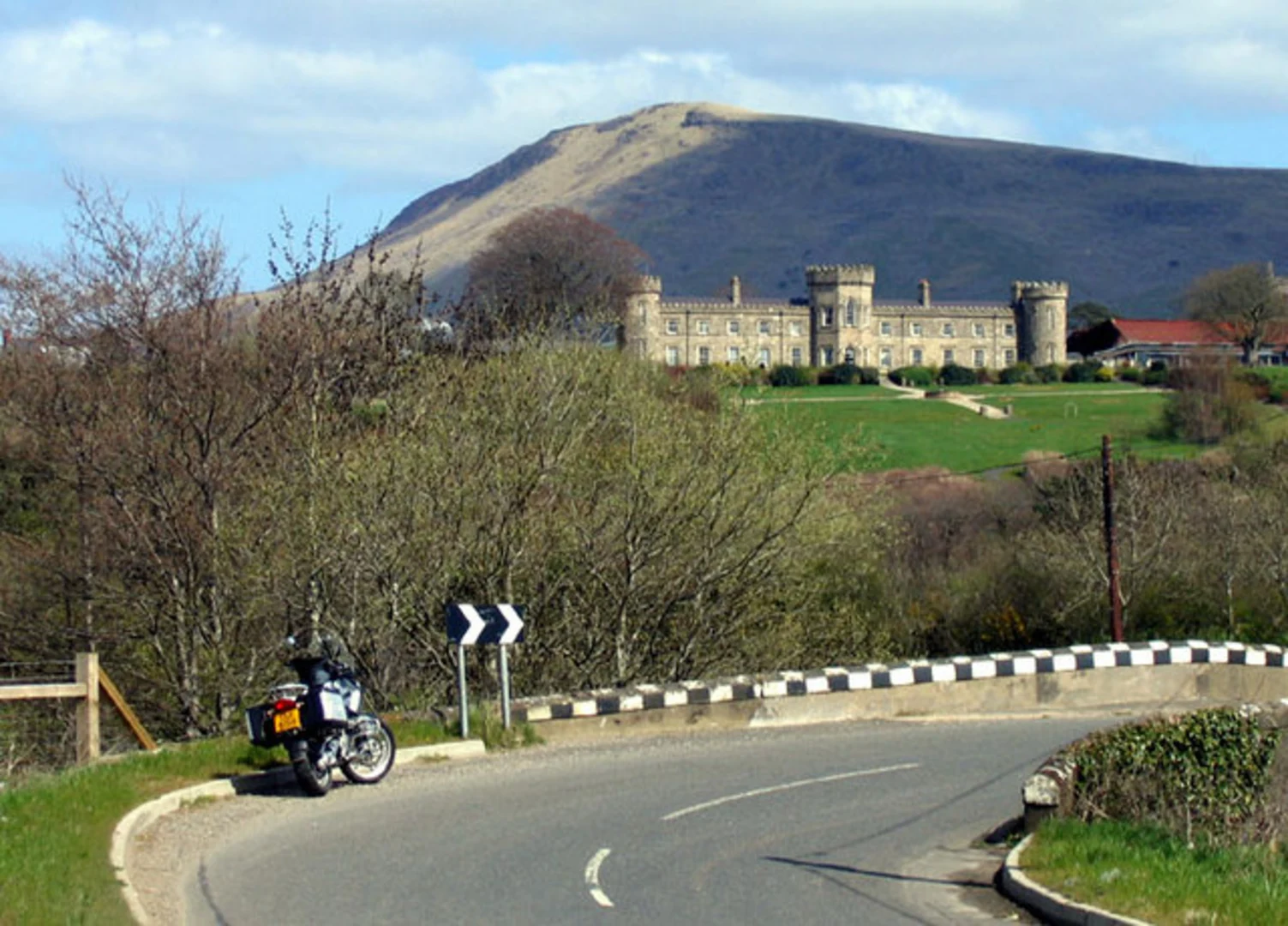
Approaching Dungiven, the trail descends into a more cultivated landscape, with the final stretch leading hikers into the town. Dungiven is home to the impressive ruins of Dungiven Castle and the ancient Augustinian priory, both steeped in history and worth exploring if time permits.
Flora and Fauna
Throughout the hike, the diverse flora includes a mix of native wildflowers and plants, which can vary depending on the season. The area is also known for its birdlife, so enthusiasts should keep their binoculars handy.
Preparation and Planning
Before setting out, hikers should be prepared for changeable weather, as the region can experience all four seasons in a day. Waterproof gear, layered clothing, and sturdy hiking boots are recommended. It's also wise to carry enough water and snacks for the journey, as there are limited facilities along the route.
Navigation and Safety
While the trail is marked, it's important to have a navigation app like HiiKER downloaded on your smartphone, with the trail maps available offline, to ensure you stay on track. Always let someone know your plans and expected return time for safety.
By following these guidelines and being prepared, hikers can fully enjoy the natural beauty and historical richness of the Moneyneany to Dungiven trail.
What to expect?
Activity types
Comments and Reviews
User comments, reviews and discussions about the Moneyneany to Dungiven, Northern Ireland.
5.0
average rating out of 5
1 rating(s)

