5.7 km
~1 hrs 25 min
170 m
“Experience diverse landscapes and rich history on the moderately challenging, 6-kilometer Summit Trail - Short.”
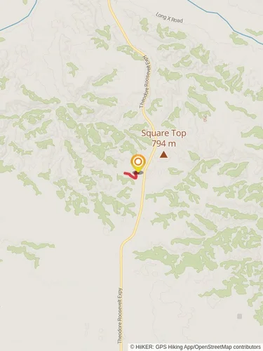
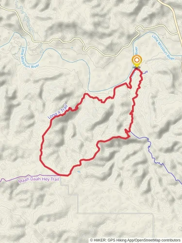
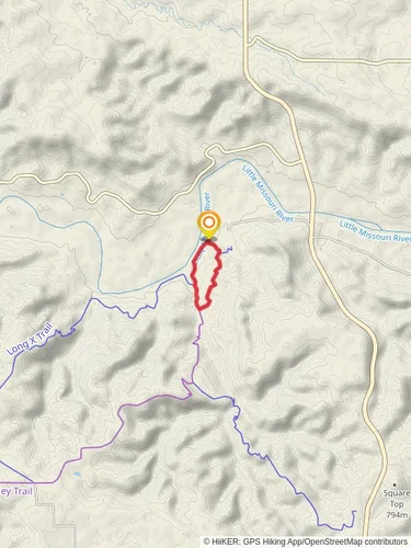
Starting near McKenzie County, North Dakota, the Summit Trail - Short is an out-and-back trail that spans approximately 6 kilometers (around 3.7 miles) with an elevation gain of about 100 meters (328 feet). This trail is rated as medium difficulty, making it accessible for most hikers with a moderate level of fitness.
### Getting There To reach the trailhead, you can drive or use public transportation. If driving, head towards McKenzie County, North Dakota, and look for signs directing you to the trailhead near the nearest known landmark, Theodore Roosevelt National Park. For those using public transport, the nearest bus stop is in Watford City, from where you can take a taxi or rideshare service to the trailhead.
### Trail Overview The trail begins with a gentle ascent, allowing hikers to warm up before tackling the more challenging sections. The initial part of the trail is well-marked and winds through a mix of open meadows and patches of woodland. Keep an eye out for local wildlife such as deer, rabbits, and a variety of bird species.
### Significant Landmarks At approximately 1.5 kilometers (0.9 miles) into the hike, you'll come across a small, picturesque stream. This is a great spot to take a short break and enjoy the natural surroundings. Continuing on, the trail becomes steeper as you approach the summit. The final push to the top is the most challenging part of the hike, with a series of switchbacks that will test your endurance.
### Historical Significance The region around McKenzie County has a rich history, particularly related to the early settlers and Native American tribes. The trail itself passes through areas that were once traversed by the Mandan, Hidatsa, and Arikara tribes. Keep an eye out for informational plaques along the trail that provide insights into the historical significance of the area.
### Reaching the Summit Upon reaching the summit, you'll be rewarded with panoramic views of the surrounding landscape, including the Little Missouri River and the rolling hills of the North Dakota Badlands. This is an excellent spot for photography, so make sure to bring your camera.
### Navigation and Safety For navigation, it's highly recommended to use the HiiKER app, which provides detailed maps and real-time updates. The trail is generally well-marked, but having a reliable navigation tool will ensure you stay on track. Be sure to carry enough water, especially during the warmer months, as the trail offers limited shade.
### Flora and Fauna The Summit Trail - Short is home to a diverse range of flora and fauna. Depending on the season, you might see wildflowers such as prairie roses and coneflowers. The area is also known for its birdlife, including hawks and eagles, so bring binoculars if you're a bird-watching enthusiast.
### Final Stretch The descent follows the same path back to the trailhead. While descending, take your time to enjoy the views and perhaps spot some wildlife you might have missed on the way up. The return journey is generally easier, but still requires caution, especially on the steeper sections.
This trail offers a rewarding hike with a mix of natural beauty, historical significance, and moderate physical challenge. Whether you're a seasoned hiker or a beginner looking for a bit of a challenge, the Summit Trail - Short is a fantastic option.
Reviews
User comments, reviews and discussions about the Summit Trail - Short, North Dakota.
0.0
average rating out of 5
0 rating(s)


