Download
Preview
Add to list
More
4.8 km
~1 hrs 9 min
124 m
Loop
“Explore diverse landscapes and rich history on the 5 km Turtle Mountain Loop, a moderate North Dakota hike.”
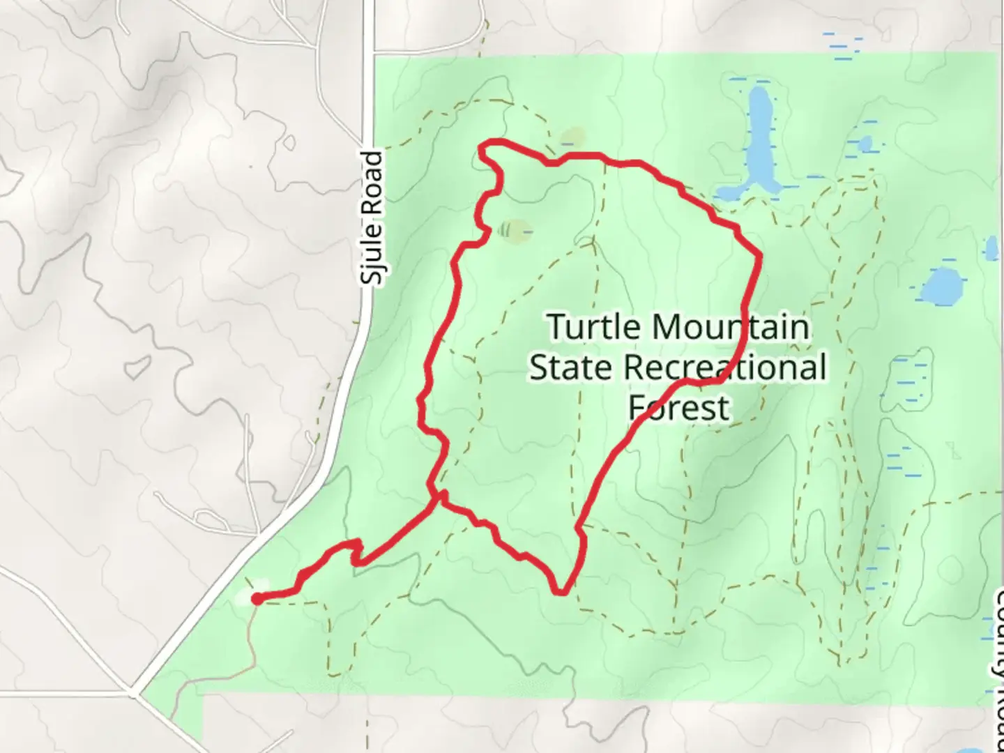
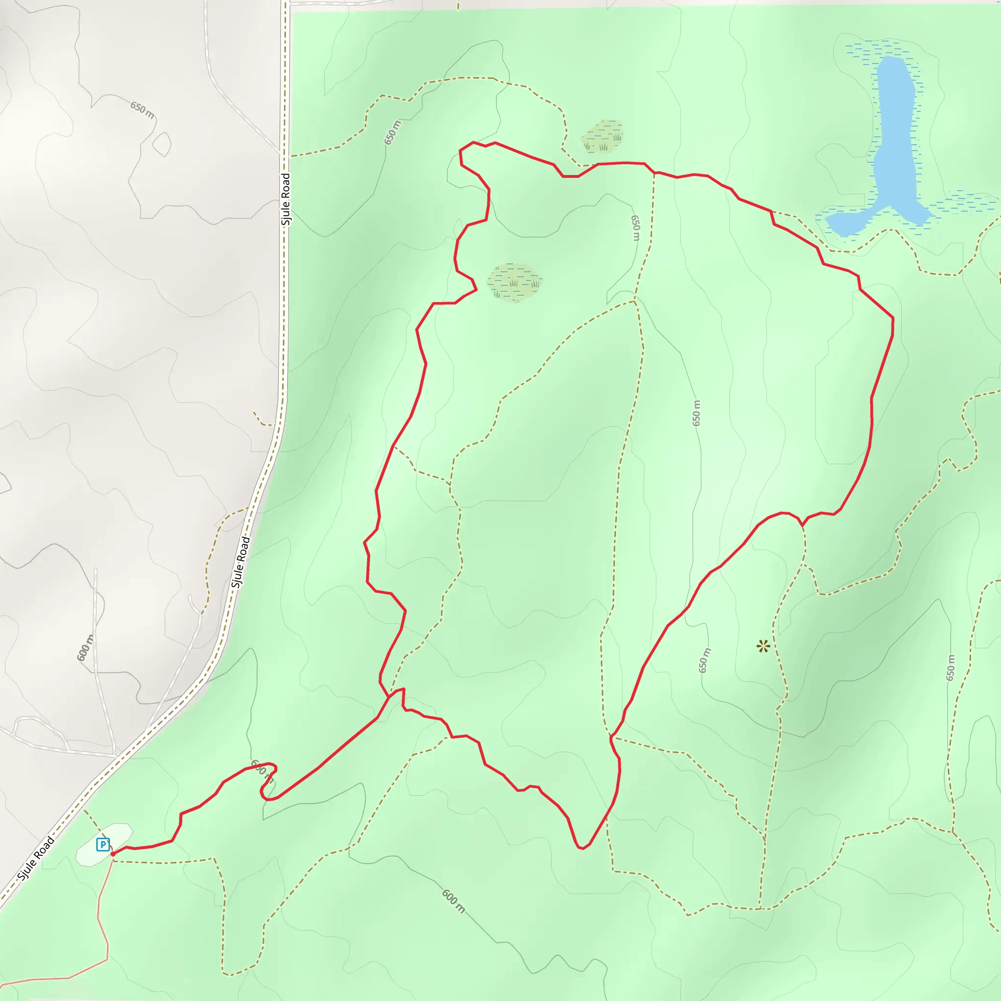
Starting near Bottineau County, North Dakota, the Turtle Mountain State Recreation Area Loop offers a delightful 5 km (approximately 3.1 miles) journey through diverse landscapes with an elevation gain of around 100 meters (328 feet). This loop trail is rated as medium difficulty, making it accessible for most hikers with a moderate level of fitness.### Getting There To reach the trailhead, you can drive or use public transport. If driving, head towards Bottineau County, North Dakota, and look for signs directing you to Turtle Mountain State Recreation Area. The nearest significant landmark is the International Peace Garden, located just a short drive away. For those using public transport, the closest bus stop is in Bottineau, from where you can take a taxi or rideshare service to the trailhead.### Trail Navigation For navigation, it's highly recommended to use the HiiKER app, which provides detailed maps and real-time updates. This will ensure you stay on track and can easily find your way around the loop.### Trail Highlights As you embark on the trail, you'll first encounter a dense forest area filled with a variety of trees, including oak, birch, and aspen. This section is relatively flat, making it a good warm-up for the more challenging parts ahead. About 1 km (0.6 miles) in, you'll start to notice a gradual incline as you approach the first significant elevation gain.### Wildlife and Nature Keep an eye out for local wildlife such as white-tailed deer, foxes, and a variety of bird species including the elusive great horned owl. The trail also passes by several small ponds, which are perfect spots for bird-watching. During the spring and summer months, the area is adorned with wildflowers, adding a splash of color to your hike.### Historical Significance The Turtle Mountain region holds historical significance for the local Native American tribes, particularly the Turtle Mountain Band of Chippewa Indians. The area was historically used for hunting and gathering, and you may come across informational plaques that provide insights into the rich cultural heritage of the region.### Mid-Trail Features Around the 2.5 km (1.55 miles) mark, you'll reach the highest point of the trail, offering panoramic views of the surrounding landscape. This is a great spot to take a break, hydrate, and enjoy the scenery. The descent from this point is gradual, leading you through a mix of open meadows and forested areas.### Final Stretch As you near the end of the loop, the trail flattens out again, making for an easy and relaxing finish. You'll pass by a few more ponds and possibly encounter more wildlife before arriving back at the trailhead.### Practical Tips - Wear sturdy hiking boots as the trail can be uneven in places. - Bring plenty of water, especially during the warmer months. - Check the weather forecast before heading out, as conditions can change rapidly. - Use the HiiKER app for navigation to ensure you stay on the correct path.This loop trail offers a well-rounded hiking experience with a mix of natural beauty, wildlife, and historical significance, making it a must-visit for anyone in the area.
What to expect?
Activity types
Comments and Reviews
User comments, reviews and discussions about the Turtle Mountain State Recreation Area Loop, North Dakota.
4.49
average rating out of 5
161 rating(s)
