Download
Preview
Add to list
More
3.8 km
~1 hrs 30 min
454 m
Point-to-Point
“Embark on the Youngs Mountain Trail for a 4 km scenic hike with breathtaking views and moderate challenges.”
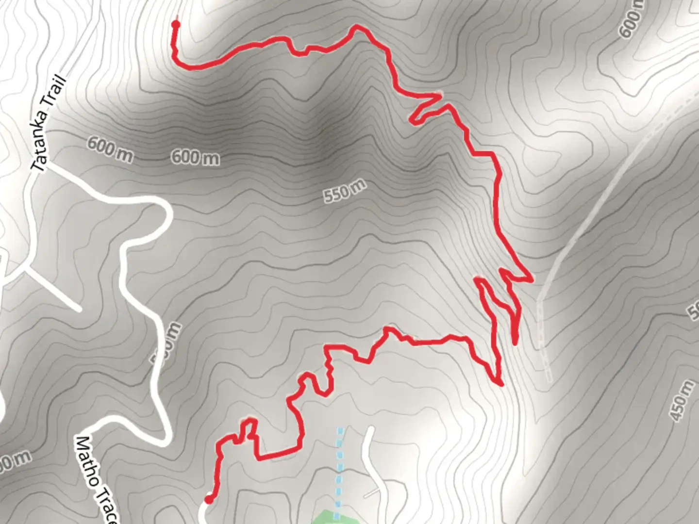
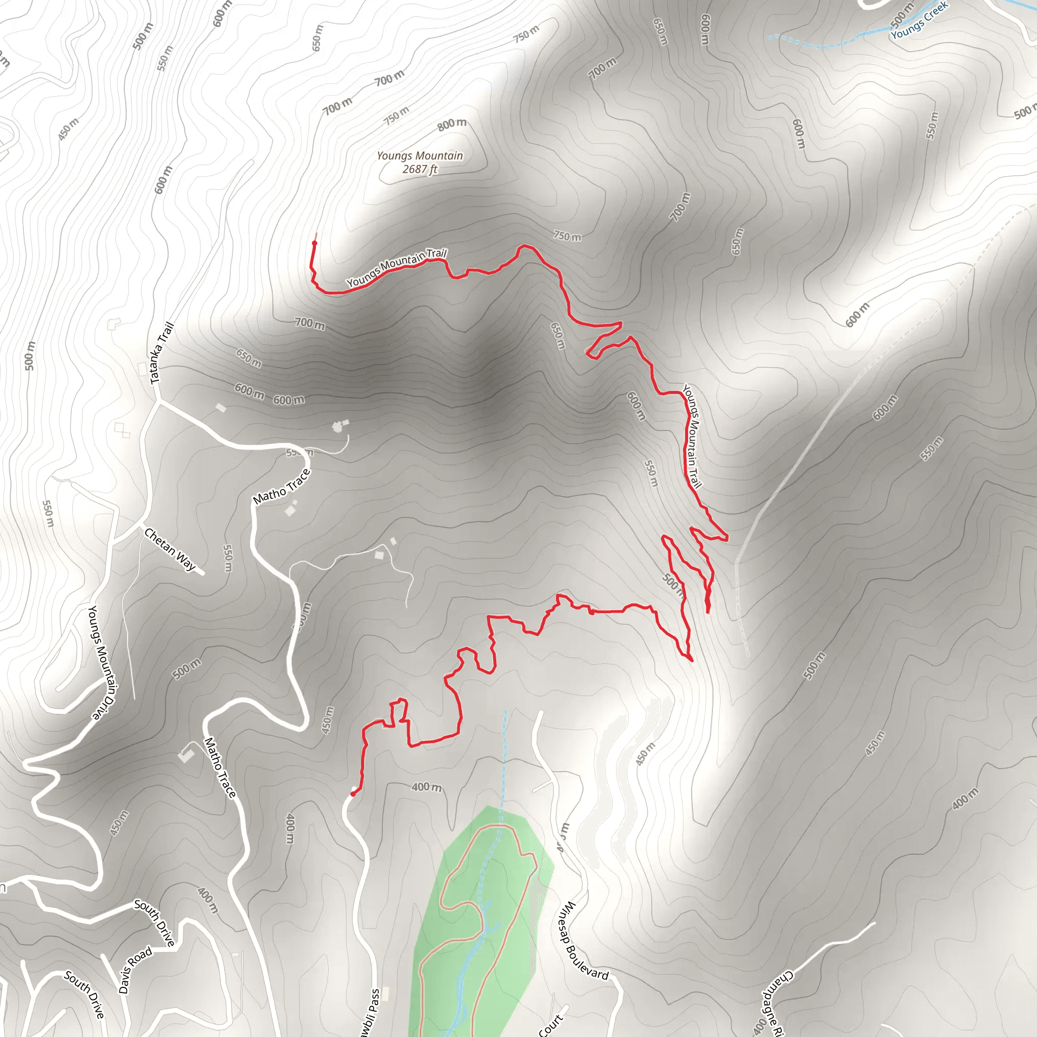
Starting your adventure near Rutherford County, North Carolina, the Youngs Mountain Trail is a point-to-point hike that spans approximately 4 kilometers (2.5 miles) with an elevation gain of around 400 meters (1,312 feet). This trail is rated as medium difficulty, making it suitable for hikers with some experience.### Getting There To reach the trailhead, you can drive or use public transportation. If you're driving, the nearest significant landmark is the town of Lake Lure, North Carolina. From Lake Lure, head towards Boys Camp Road and follow the signs to the trailhead. For those using public transport, the closest bus stop is in Lake Lure, from where you can take a taxi or rideshare service to the trailhead.### Trail Overview The trail begins with a gentle ascent through a mixed hardwood forest. As you progress, the path becomes steeper, offering a moderate challenge. The first kilometer (0.6 miles) is relatively easy, with an elevation gain of about 100 meters (328 feet). This section is a great warm-up and allows you to acclimate to the terrain.### Flora and Fauna The forest is rich with diverse plant life, including oak, hickory, and maple trees. In spring and early summer, you'll find a variety of wildflowers such as trillium and lady's slipper orchids. Keep an eye out for local wildlife, including white-tailed deer, wild turkeys, and various bird species like the Carolina wren and red-tailed hawk.### Mid-Trail Landmarks At approximately the 2-kilometer (1.2-mile) mark, you'll encounter a scenic overlook that provides stunning views of the surrounding Blue Ridge Mountains. This is a perfect spot to take a break and enjoy the panoramic vistas. The elevation gain to this point is around 200 meters (656 feet), making it a rewarding halfway point.### Historical Significance The region around Youngs Mountain has a rich history. During the late 18th and early 19th centuries, it was a significant area for early American settlers. The nearby town of Rutherfordton, established in 1787, is one of the oldest towns in Western North Carolina and played a crucial role during the Revolutionary War.### Final Ascent The last stretch of the trail is the most challenging, with a steeper incline and rocky terrain. The final 2 kilometers (1.2 miles) involve an elevation gain of about 200 meters (656 feet). As you approach the summit, the forest opens up, and you'll be rewarded with breathtaking views of the Hickory Nut Gorge and Lake Lure.### Navigation For navigation, it's highly recommended to use the HiiKER app, which provides detailed maps and real-time updates. This will help you stay on track and ensure a safe and enjoyable hike.### End of the Trail The trail concludes at the summit of Youngs Mountain, where you'll find a spacious area to rest and take in the 360-degree views. This is a perfect spot for a picnic or simply to relax and soak in the natural beauty.Remember to pack plenty of water, wear sturdy hiking boots, and bring a camera to capture the stunning landscapes. Happy hiking!
What to expect?
Activity types
Comments and Reviews
User comments, reviews and discussions about the Youngs Mountain Trail, North Carolina.
4.38
average rating out of 5
21 rating(s)
