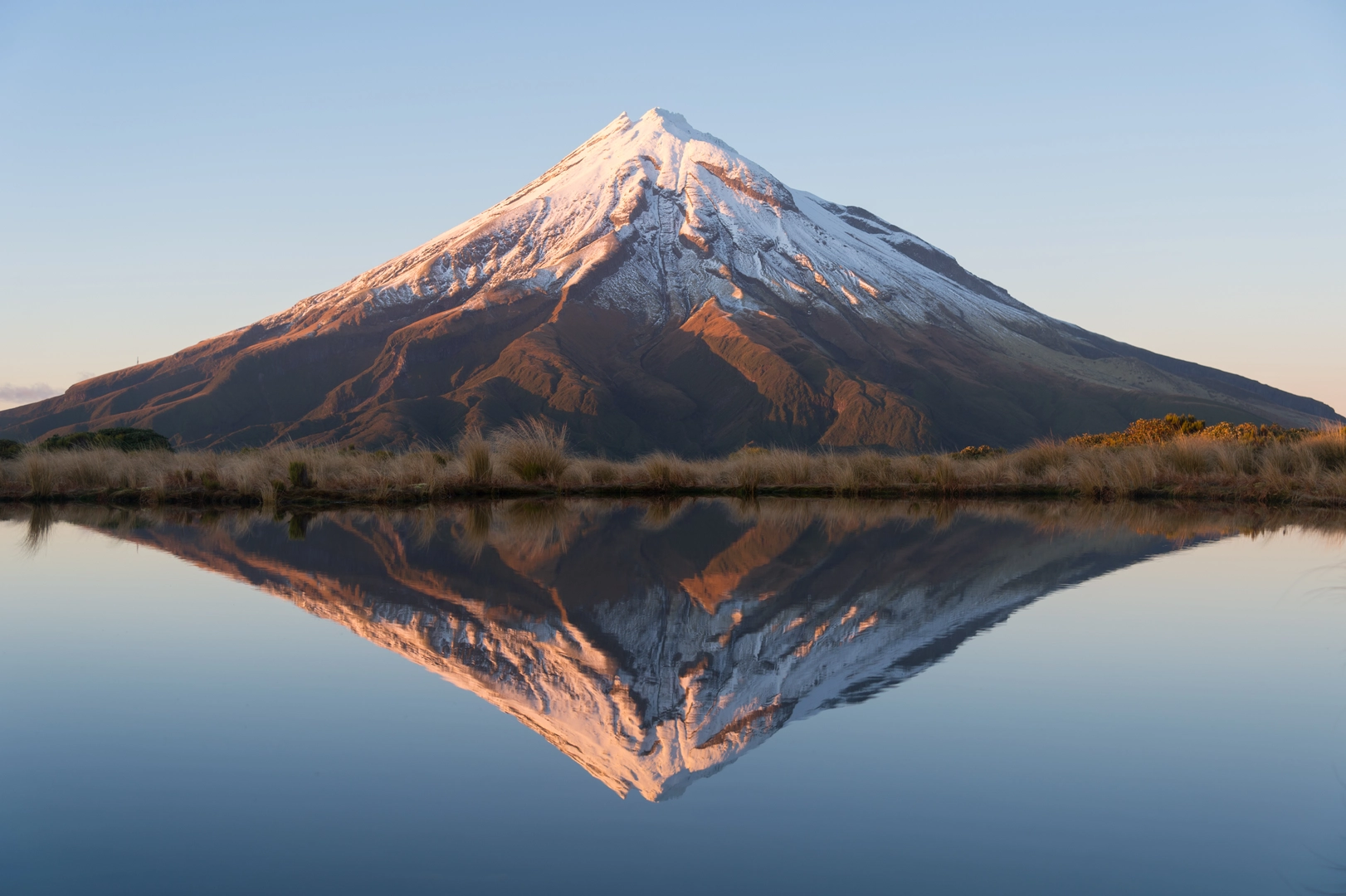
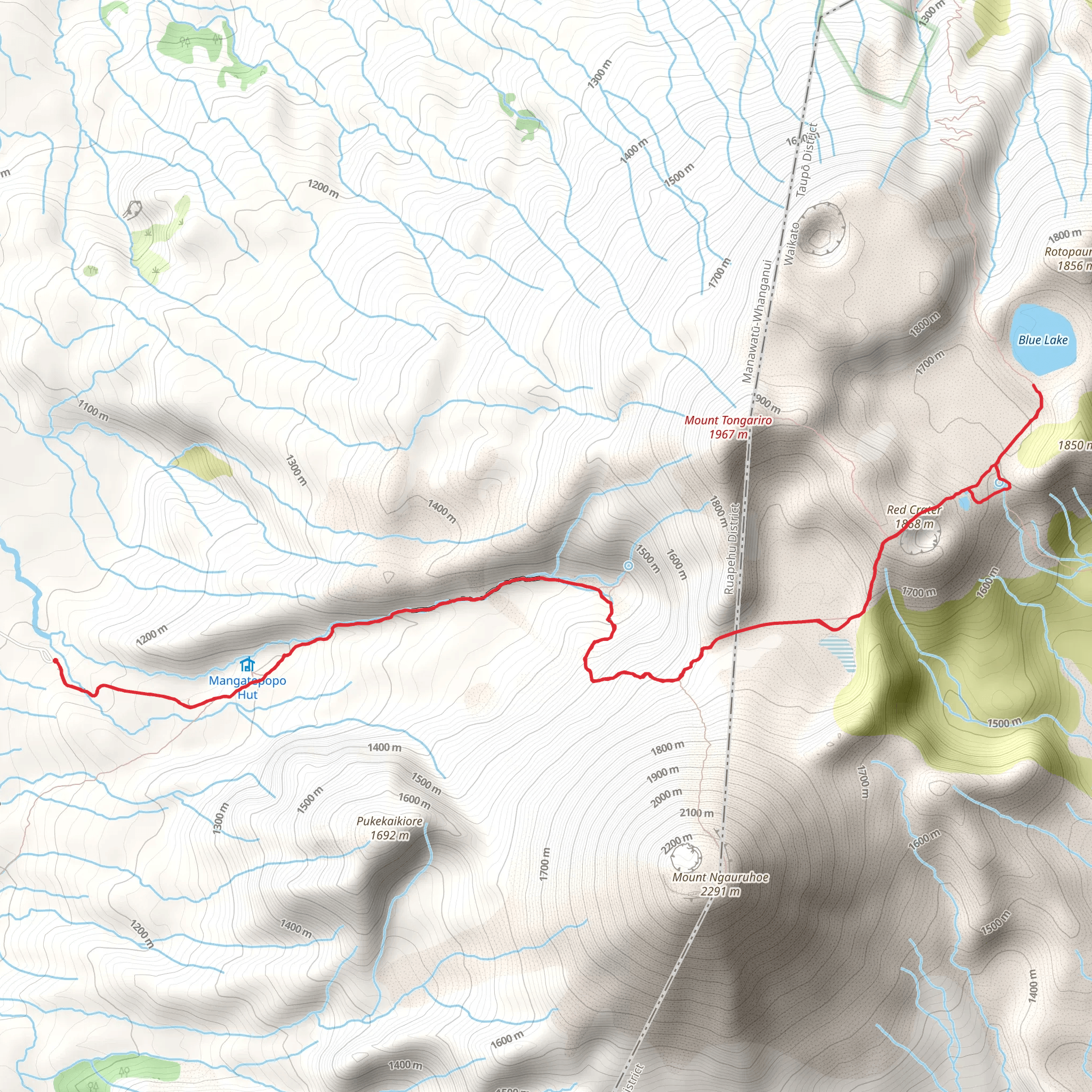
The Blue Lake via Tongariro Alpine Crossing is a 20 km trail across an active volcanic landscape within the Tongariro National Park, near Whakapapa Village. Tongariro is New Zealand’s oldest National Park, located in the centre of the North Island, it’s a recognised UNESCO World Heritage Site. Highlights of this tramping route include dramatic glacial valleys, steaming geothermal vents, ancient lava fields and the blue crater lakes. A challenging but beautiful track with steep sections, alpine regions are notorious for changeable weather and should never be underestimated. It’s advised to leave early to have enough time to enjoy and complete the trail safely. Take in far-reaching views and the impressive volcanic peaks of Ngauruhoe, Tongariro and Ruapehu. (Lord of the Ring’s fans will recognise Mount Ngauruhoe as Mount Doom.) The track meanders through the Mangatepopo Valley, taking on the saddle of Mount Tongariro and Mount Ngauruhoe, climbing volcanic scree to reach the Emerald Lakes or Nga Rotopounamu meaning ‘greenstone-hued lakes.’ Prepare year-round by taking plenty of food and drink, extra layers for changeable weather and appropriate footwear to manage scree slopes and steep climbs. It is also recommended to carry a head torch and a phone or communication device. During the winter, from June to October this trail is only recommended for experienced hikers, equipped with alpine and navigational skills to confidently take on snow and ice over avalanche terrain in extreme low temperature conditions. It is possible to arrange a guided tour if you wish to hike the Tongariro Alpine Crossing during winter. Based on our data, the trail is graded as hard. For information on how we grade trails, please click here. Also, check our latest community posts for trail updates. This trail can be completed in approx. 7- 8 hours. Caution is advised on trail times as this depends on multiple variables. For more info, click here.