Download
Preview
Add to list
More
32.8 km
~3 days
2556 m
Multi-Day
“Embark on the Motatapu Track, a historical and scenic trek through New Zealand's rugged wilderness.”
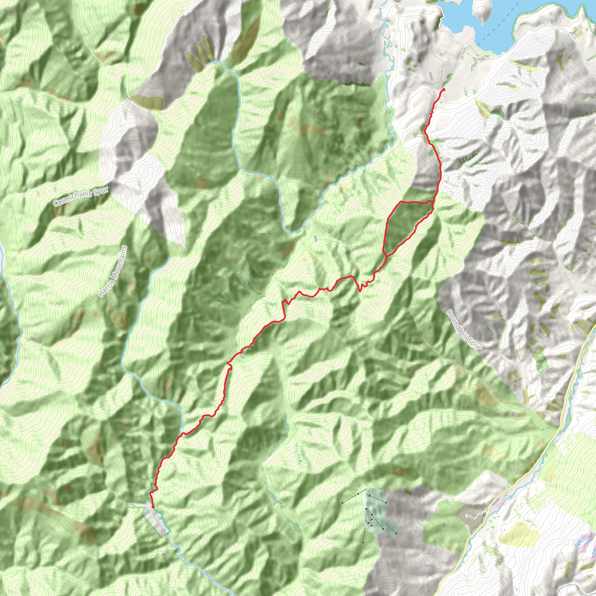
The Motatapu Track carves a challenging yet rewarding route through the rugged backcountry between Wanaka and Arrowtown in the Otago region of New Zealand. Spanning approximately 33 kilometers (20.5 miles) with an elevation gain of roughly 2500 meters (8202 feet), this point-to-point trail is not for the faint-hearted, earning its difficult rating due to steep ascents, unpredictable weather, and remote terrain.
Getting to the Trailhead
To embark on the Motatapu Track, hikers can start near the Glendhu Bay area of Lake Wanaka. If driving, take the Wanaka-Mount Aspiring Road to Glendhu Bay, where parking is available. For those relying on public transport, options are limited, but shuttle services from Wanaka can be arranged to drop off at the trailhead.
Navigating the Trail
Hikers should be well-prepared with a reliable navigation tool such as HiiKER, which provides detailed maps and GPS coordinates to aid in route finding. The trail is marked, but weather conditions can obscure the path, making a GPS device essential.
Trail Experience
The journey begins with a steady climb through farmland, offering expansive views of Lake Wanaka and the surrounding peaks. As the trail ascends, it transitions into beech forest, where the sounds of native birds such as the bellbird and tui fill the air.
Historical Significance
The Motatapu Valley holds a rich history, once used by Māori as a seasonal route for hunting and gathering greenstone (pounamu). European settlers later used the valley for farming, remnants of which can be seen along the trail.
Landmarks and Natural Features
After the initial climb, the track reaches the high point at Jack Hall's Saddle, sitting at an elevation of 1275 meters (4183 feet). Here, hikers are rewarded with panoramic views of the Motatapu and Soho Valleys. Descending into the valley, the trail crosses several streams, which can swell after rain, making crossings challenging.
The path weaves through tussock-covered valleys, past historic huts, and over ridgelines, with the Harris Saddle being another notable high point. As the trail approaches the Arrow River, hikers will find the Macetown historical site, an abandoned gold mining settlement dating back to the 1860s.
Wildlife and Flora
The Motatapu Track is home to a variety of native flora and fauna. Hikers may spot the New Zealand falcon (kārearea) or hear the distinctive call of the kea, the world's only alpine parrot. The vegetation transitions from silver beech forests to alpine tussocks and shrubs, showcasing the region's biodiversity.
Preparation and Safety
Due to the trail's difficulty and remote nature, hikers should be self-sufficient, carrying enough food, water, and emergency supplies for the duration of the hike. Weather in the region can change rapidly, so appropriate clothing and gear are essential. It's also advisable to inform someone of your plans and expected return time.
Conclusion
The Motatapu Track is a true backcountry experience, offering solitude, natural beauty, and a glimpse into New Zealand's history. With proper preparation and respect for the trail's challenges, hikers will find this journey to be an unforgettable adventure.
What to expect?
Activity types
Comments and Reviews
User comments, reviews and discussions about the Motatapu Track, New Zealand.
5.0
average rating out of 5
7 rating(s)

