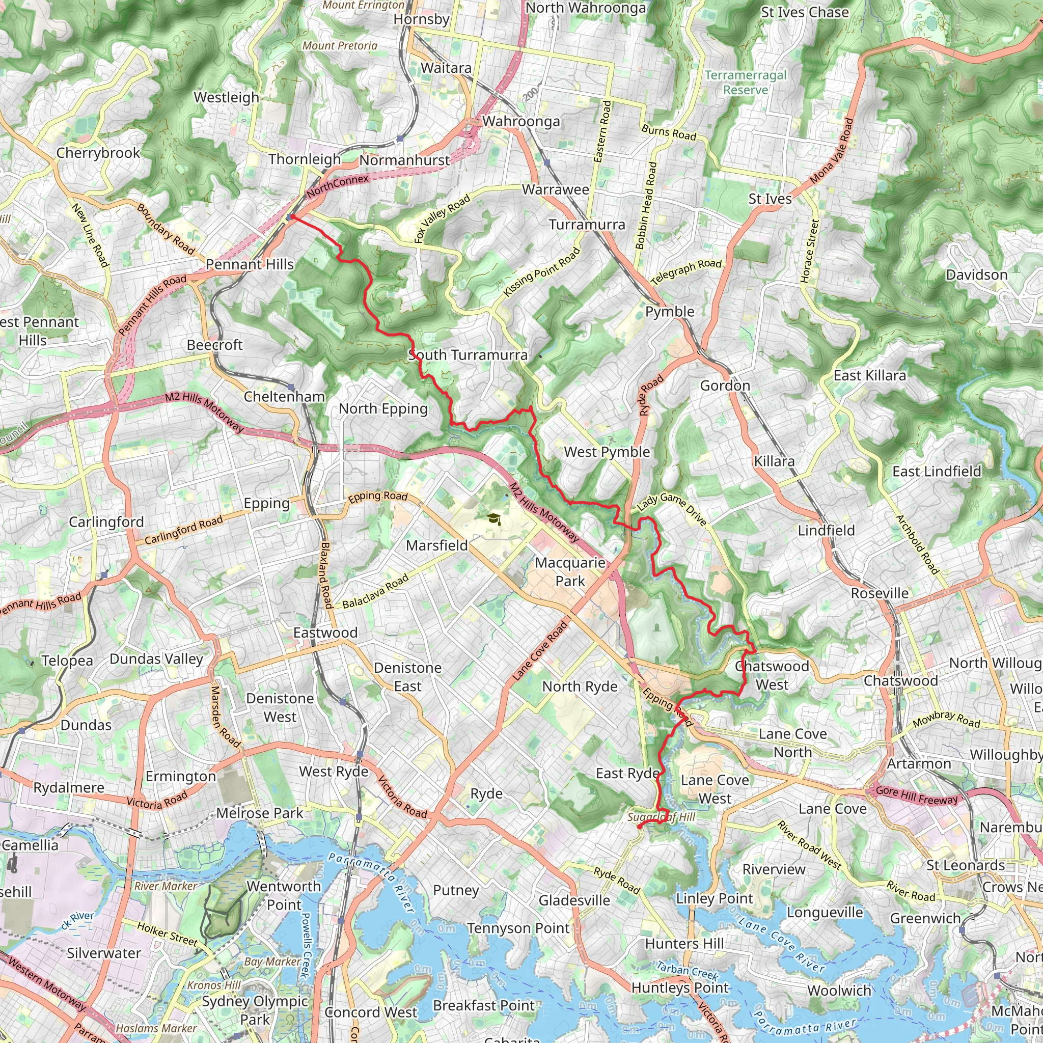
The GNW is a 169 mile, multi-day point-to-point route leading from Thornleigh in central Sydney, Australia’s largest city up to Newcastle. It is a great mix of both urban and natural environments and was created in 1988 to celebrate Australia’s bicentenary. The trail passes through some of the very best scenery of the state of New South Wales although there are some also some long road sections when leaving and entering the two cities. The trail can be hiked in either direction but the classic way is south to north, with both ends easily accessible by public transport. Setting off from the buzzing city of Sydney the track passes through historic locations with heritage homes before entering the Lane Cove National Park and then the Berowra Valley National Park. The landscape is beautiful and there are many high plateaus along the way with great viewpoints. The trail also crosses the lands of the Kuring-Gai, Darkening and Awabakal people and there are a few ancient sites with rock carvings. Look out for some of Australia’s native and often unique wildlife, such as Waratah, a shrubby plant endemic to Australia, pelicans and wallabies. There are many unmarked campsites along the way but they do not have facilities apart from the ones closer to Newcastle so you will have to use natural water sources, but it will need to be filtered/treated. Food can be purchased along the route, there is a shop at some point most days. A fairly challenging hike, there is plenty of elevation change each day so you do need to be in good shape; it is graded as a medium. For more information on how we grade trails, please click here. It will take around 16 days or so to thru-hike, although caution is advised on trail times as this depends on multiple variables. For more info, click here. Dogs are not allowed on the trail. Open all year round, this government-sponsored trail is beautiful in all seasons but is best walked in winter (July to November) when temperatures are lower and there is less rainfall. In the summer there can be extremely hot days and water sources may be more difficult to come by, so extra planning may be needed in this respect. The trail runs through a heavily developed region and often parts of the track are re-routed or temporarily closed so expect changes to the way and follow the signs if in doubt. A permit is not required for this trail.