Download
Preview
Add to list
More
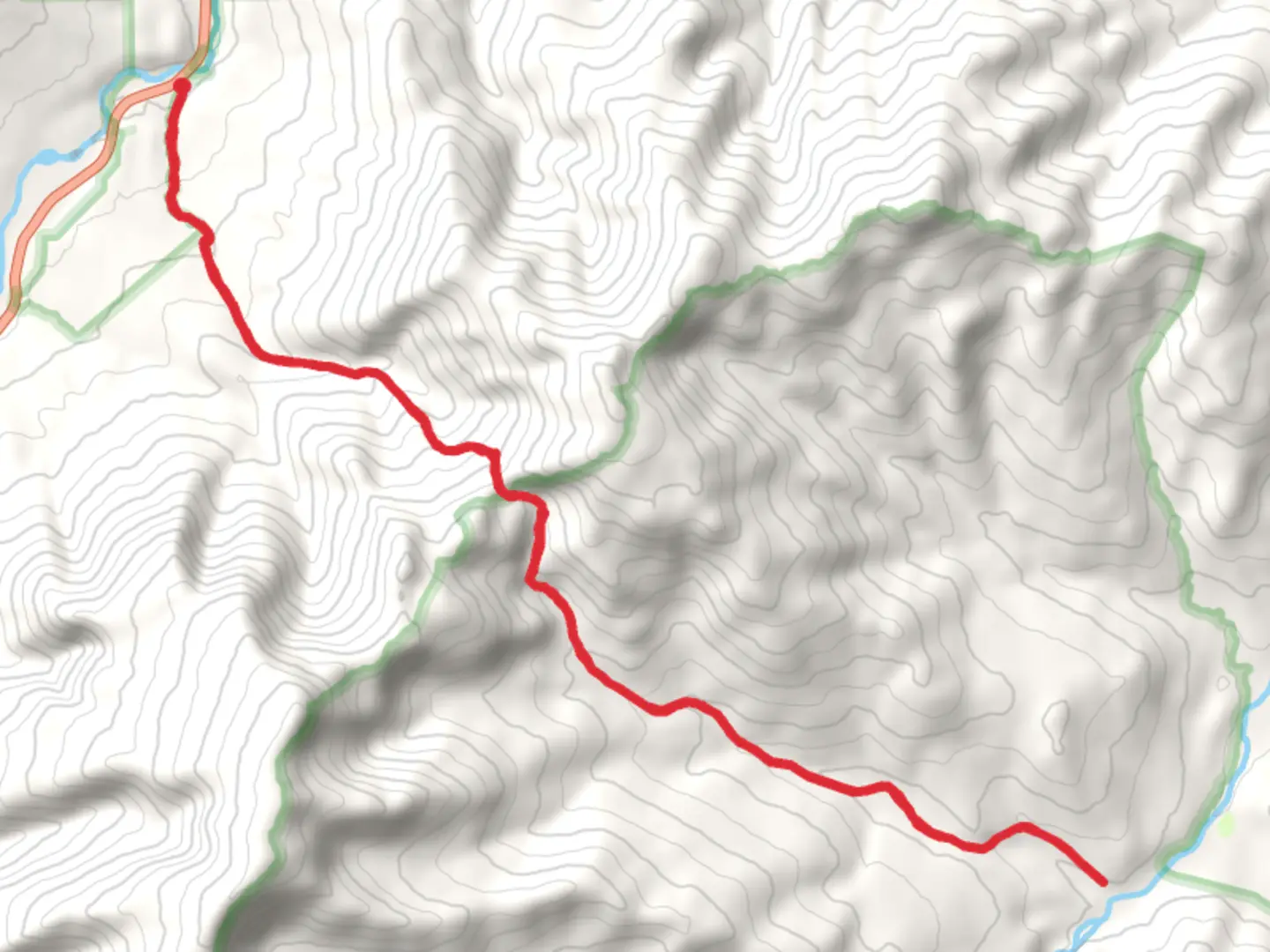
26.0 km
~1 day 2 hrs
1199 m
Out and Back
“Embark on a scenic journey through history and nature on New Hampshire's Stony Brook and Moriah Brook Trail.”
Nestled in the picturesque White Mountains of New Hampshire, the Stony Brook and Moriah Brook Trail offers a rewarding experience for hikers looking to explore the rugged beauty of Coos County. This approximately 26-kilometer (16-mile) out-and-back trail boasts an elevation gain of around 1200 meters (3937 feet), presenting a medium difficulty level that is suitable for hikers with some experience.
Starting near the Wild River Campground, the trailhead is accessible by car. From the nearest town of Gorham, take Route 2 to Route 16, then head south until you reach Wild River Road. Follow this road to its end, where you'll find parking and the trailhead. Public transport options are limited in this remote area, so driving is the most feasible option for reaching the starting point.
Navigating the Trail
As you embark on the Stony Brook Trail, you'll be greeted by the gentle sounds of Stony Brook itself. The trail follows the brook for the first few miles, providing a serene backdrop. Hikers can use the HiiKER app to navigate the trail, ensuring they stay on the correct path while enjoying the surrounding wilderness.
The ascent begins gradually, winding through a mixed forest of deciduous trees and evergreens. Approximately 3 miles in, you'll encounter the first significant elevation gain, where the trail steeply climbs up the side of the ridge. This section can be challenging, but it rewards hikers with stunning views of the surrounding peaks and valleys.
Historical Significance and Landmarks
The White Mountains are steeped in history, with the Stony Brook and Moriah Brook Trail cutting through areas that were once heavily logged. Evidence of the region's logging past can be seen in the occasional remnants of old logging roads and rusted machinery. The trail itself is a testament to the conservation efforts that have preserved these lands for public enjoyment.
As you continue, the trail intersects with the Carter-Moriah Trail, a landmark that offers an optional detour to the summit of Mount Moriah. This peak, standing at 1234 meters (4049 feet), is one of the 48 New Hampshire 4,000 footers and provides panoramic views that are well worth the additional effort.
Flora, Fauna, and the Moriah Brook Trail
After the intersection with the Carter-Moriah Trail, the route descends into the Moriah Brook Gorge. Here, the Moriah Brook Trail showcases a different landscape, with lush greenery and a series of cascades and pools that invite a refreshing pause. The area is home to a diverse array of wildlife, including moose, black bears, and various bird species. Hikers should be aware of their surroundings and practice bear safety.
The trail along Moriah Brook is less steep but can be tricky to navigate due to the rocky terrain and multiple stream crossings. Waterproof footwear and trekking poles are recommended for stability and comfort.
Return Journey
After reaching the turnaround point, hikers will retrace their steps back to the trailhead. The descent will be faster, but caution is advised on the steeper sections to avoid slips and falls.
Preparation and Safety
Before setting out, hikers should check the weather forecast and trail conditions, as the White Mountains can experience rapid weather changes. It's essential to carry a map, compass, and the HiiKER app for navigation, along with sufficient water, food, and layers of clothing to adapt to varying temperatures.
In conclusion, the Stony Brook and Moriah Brook Trail offers a rich hiking experience with its varied terrain, historical context, and natural beauty. With proper preparation and respect for the trail, hikers will find this journey through the White Mountains to be a memorable adventure.

What to expect?
Activity types
Comments and Reviews
User comments, reviews and discussions about the Stony Brook and Moriah Brook Trail, New Hampshire.
4.72
average rating out of 5
18 rating(s)