Download
Preview
Add to list
More
4.2 km
~50 min
0 m
Loop
“The Dry Creek and Steamboat Creek Loop offers a serene, accessible hike through picturesque landscapes and historical landmarks.”
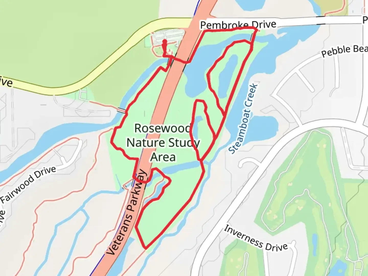
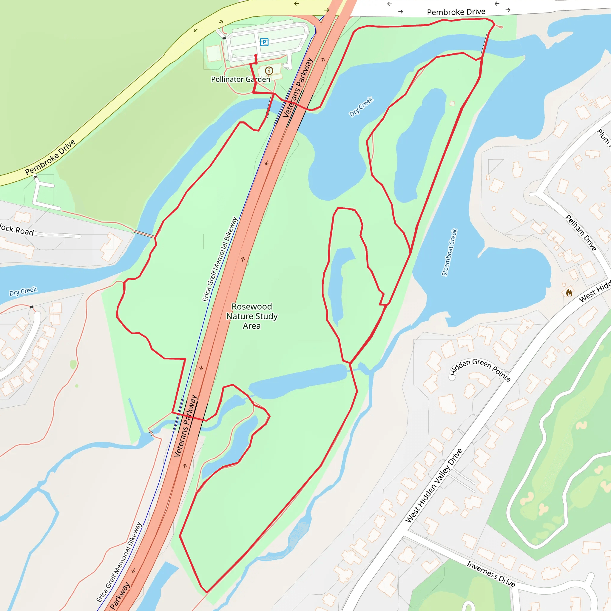
Starting near Washoe County, Nevada, the Dry Creek and Steamboat Creek Loop is a delightful 4 km (approximately 2.5 miles) loop trail with no significant elevation gain, making it an ideal choice for hikers of all skill levels. The trailhead is conveniently located near the intersection of Steamboat Parkway and Veterans Parkway, providing easy access whether you're arriving by car or public transport.
Getting There For those driving, you can park at the nearby shopping center at the intersection of Steamboat Parkway and Veterans Parkway. If you're using public transport, the RTC Washoe bus service has routes that stop near this intersection, making it a convenient option for those without a car.
Trail Overview The trail meanders through a picturesque landscape characterized by the serene waters of Dry Creek and Steamboat Creek. As you embark on this loop, you'll be greeted by a variety of native flora and fauna. The trail is well-marked and maintained, ensuring a pleasant and straightforward hiking experience.
Points of Interest - **Dry Creek**: Approximately 1 km (0.6 miles) into the hike, you'll encounter Dry Creek. This section of the trail offers a tranquil setting with the gentle sounds of flowing water. It's a great spot for a short break or a photo opportunity. - **Steamboat Creek**: Around the halfway mark, you'll come across Steamboat Creek. This creek is slightly larger and provides a lush, green backdrop that contrasts beautifully with the surrounding arid landscape. - **Wildlife**: Keep an eye out for local wildlife, including various bird species, small mammals, and occasionally, deer. The area is also home to a variety of plant species, including sagebrush and wildflowers, which bloom seasonally.
Historical Significance The region around Washoe County has a rich history, with roots tracing back to the indigenous Washoe people. The creeks themselves were vital water sources for early settlers and played a significant role in the development of the surrounding communities. As you hike, you might notice remnants of old irrigation systems and other historical artifacts that hint at the area's past.
Navigation For navigation, it's recommended to use the HiiKER app, which provides detailed maps and real-time updates to ensure you stay on track. The app is particularly useful for identifying key landmarks and understanding the trail's layout.
Final Stretch As you near the end of the loop, the trail gently guides you back towards the starting point near Steamboat Parkway and Veterans Parkway. This final stretch is a great opportunity to reflect on the natural beauty and historical significance of the area.
Whether you're a seasoned hiker or a beginner, the Dry Creek and Steamboat Creek Loop offers a peaceful and enriching outdoor experience.
What to expect?
Activity types
Comments and Reviews
User comments, reviews and discussions about the Dry Creek and Steamboat Creek Loop, Nevada.
4.55
average rating out of 5
42 rating(s)
