American Discovery Trail - California trail stages
stage 1
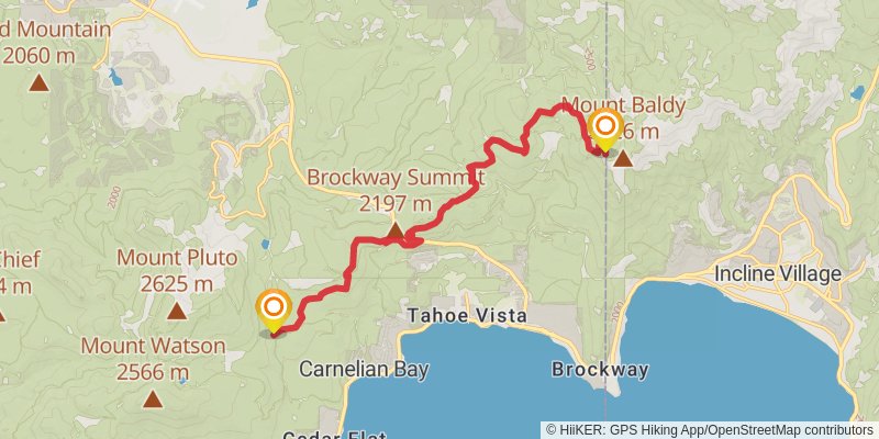
Starting at: Placer County, 89511
Ending at: Carnelian Bay, Placer County, 96140
Distance: 17.2 km
Elevation gain: 387 m
Duration: 04:05:38
View on mapstage 2
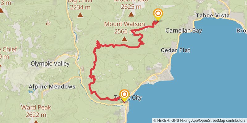
Starting at: Carnelian Bay, Placer County, 96140
Ending at: Sunnyside-Tahoe City, Placer County, 96145
Distance: 25.2 km
Elevation gain: 748 m
Duration: 06:17:13
View on mapstage 3
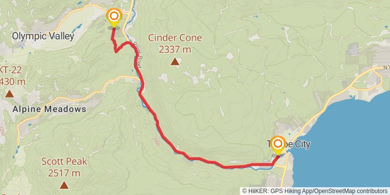
Starting at: Sunnyside-Tahoe City, Placer County, 96145
Ending at: Olympic Valley, Placer County, 96146
Distance: 8.6 km
Elevation gain: 187 m
Duration: 02:02:23
View on mapstage 4
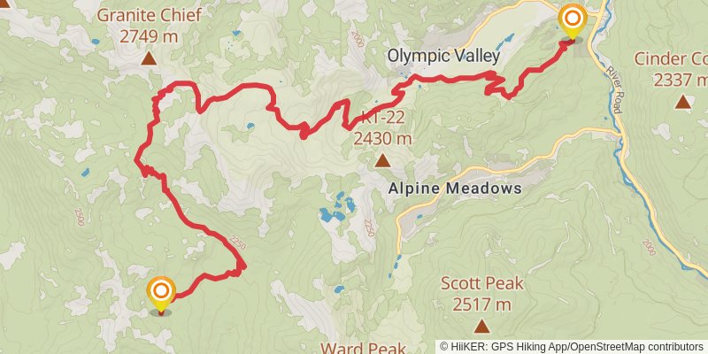
Starting at: Olympic Valley, Placer County, 96146
Ending at: Placer County
Distance: 18.6 km
Elevation gain: 1140 m
Duration: 05:37:24
View on mapstage 5
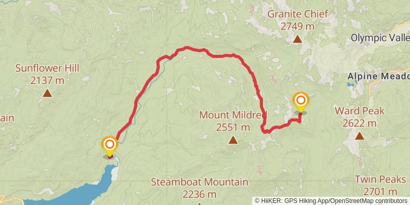
Starting at: Olympic Valley, Placer County
Ending at: Placer County
Distance: 20.6 km
Elevation gain: 333 m
Duration: 04:40:22
View on mapstage 6
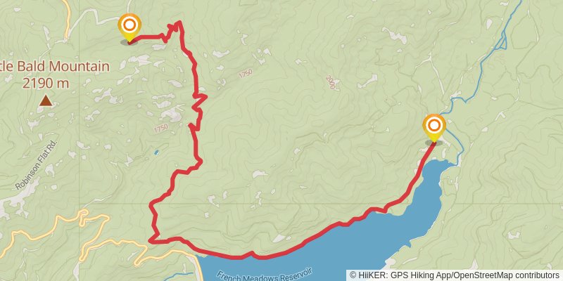
Starting at: Placer County
Ending at: Placer County
Distance: 15.5 km
Elevation gain: 759 m
Duration: 04:21:22
View on mapstage 7
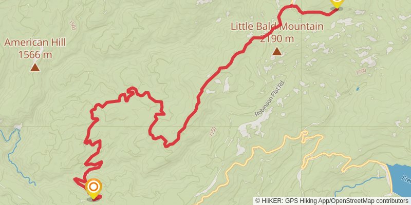
Starting at: Placer County
Ending at: Placer County
Distance: 18.5 km
Elevation gain: 490 m
Duration: 04:30:36
View on mapstage 8
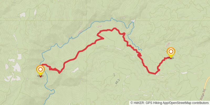
Starting at: Greekstore, Placer County
Ending at: Foresthill, Placer County, 95631
Distance: 14.8 km
Elevation gain: 926 m
Duration: 04:30:11
View on mapstage 9
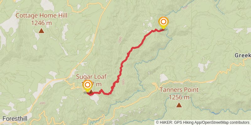
Starting at: Placer County, 95631
Ending at: Foresthill, Placer County, 95631
Distance: 13.8 km
Elevation gain: 1058 m
Duration: 04:30:52
View on mapstage 10
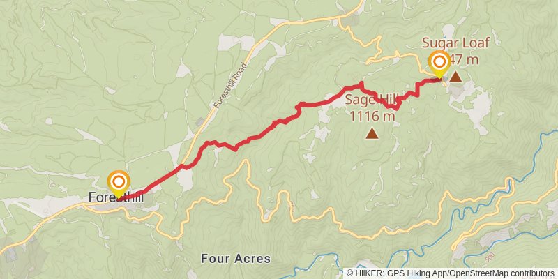
Starting at: Foresthill, Placer County, 95631
Ending at: Foresthill, Placer County, 95631
Distance: 9.6 km
Elevation gain: 452 m
Duration: 02:40:51
View on mapstage 11
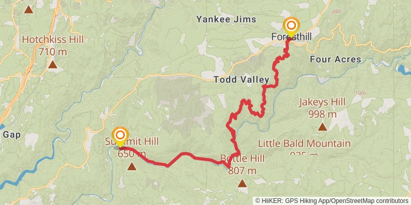
Starting at: Foresthill, Placer County, 95631
Distance: 24.5 km
Elevation gain: 1160 m
Duration: 06:50:18
View on mapstage 12
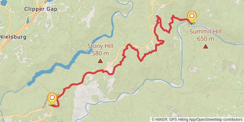
Starting at: Auburn Lake Trails, Placer County, 95631
Ending at: Auburn Lake Trails, Placer County, 95631
Distance: 14.6 km
Elevation gain: 670 m
Duration: 04:02:01
View on mapstage 13
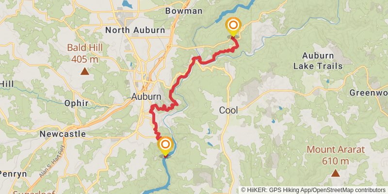
Starting at: Auburn Lake Trails, Placer County, 95631
Ending at: Auburn, Placer County, 95603
Distance: 16.7 km
Elevation gain: 696 m
Duration: 04:30:32
View on mapstage 14
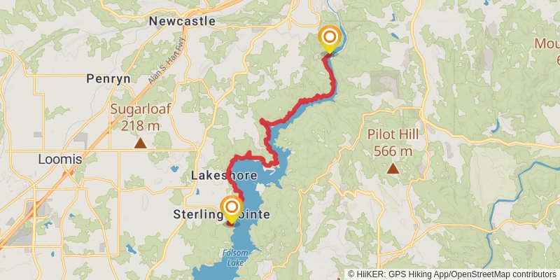
Starting at: Auburn, Placer County, 95603
Ending at: Granite Bay, Placer County, 95650
Distance: 16.1 km
Elevation gain: 771 m
Duration: 04:30:09
View on mapstage 15
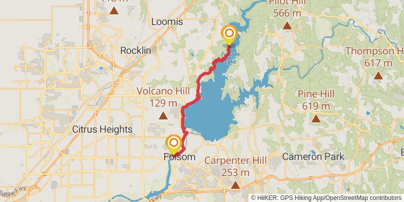
Starting at: Granite Bay, Placer County, 95650
Ending at: Folsom, Sacramento County, 95630
Distance: 20.4 km
Elevation gain: 484 m
Duration: 04:52:40
View on mapstage 16

Starting at: Folsom, Sacramento County, 95630
Ending at: Rancho Cordova, Sacramento County, 95670
Distance: 19.4 km
Elevation gain: 174 m
Duration: 04:10:04
View on mapstage 17
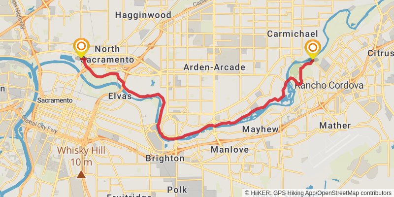
Starting at: Rancho Cordova, Sacramento County, 95670
Distance: 21.5 km
Elevation gain: 72 m
Duration: 04:25:09
View on mapstage 18
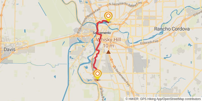
Ending at: IHOP, Sacramento, Sacramento County, 95822
Distance: 20.4 km
Elevation gain: 52 m
Duration: 04:09:46
View on mapstage 19
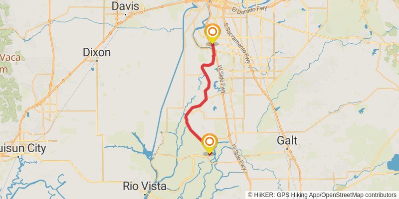
Starting at: Sacramento, Sacramento County, 95832
Ending at: Walnut Grove, Sacramento County, 95690
Distance: 34.4 km
Elevation gain: 101 m
Duration: 07:02:16
View on mapstage 20
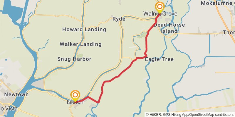
Starting at: Walnut Grove, Sacramento County, 95690
Ending at: Isleton, Sacramento County, 95641
Distance: 15.2 km
Elevation gain: 35 m
Duration: 03:06:13
View on mapstage 21
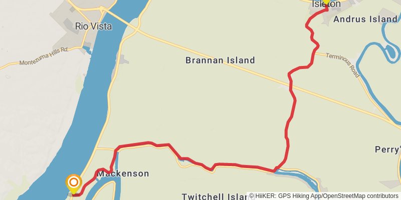
Starting at: Isleton, Sacramento County, 95641
Ending at: Sacramento County, 94571
Distance: 13.7 km
Elevation gain: 34 m
Duration: 02:48:03
View on mapstage 22
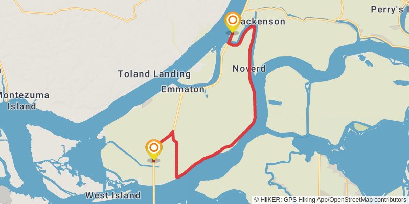
Starting at: Mackenson, Rio Vista, Sacramento County, 94571
Ending at: Oakley, Sacramento County, 94571
Distance: 19.2 km
Elevation gain: 15 m
Duration: 03:51:44
View on mapstage 23
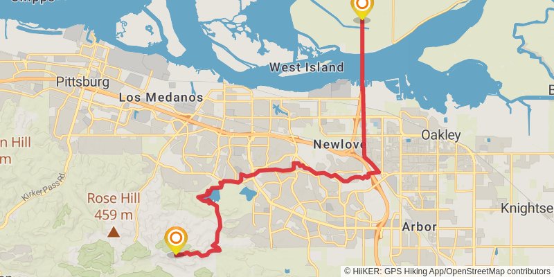
Starting at: Newlove, Oakley, Contra Costa County, 94571
Ending at: Antioch, Contra Costa County, 94531
Distance: 22.7 km
Elevation gain: 555 m
Duration: 05:27:42
View on mapstage 24
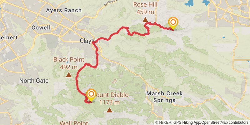
Starting at: Antioch, Contra Costa County
Ending at: Clayton, Contra Costa County, 94517
Distance: 22.8 km
Elevation gain: 1116 m
Duration: 06:25:41
View on mapstage 25
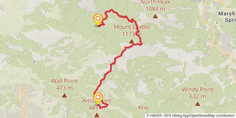
Starting at: Clayton, Contra Costa County, 94517
Ending at: Blackhawk, Contra Costa County, 94598
Distance: 10.9 km
Elevation gain: 706 m
Duration: 03:20:58
View on mapstage 26
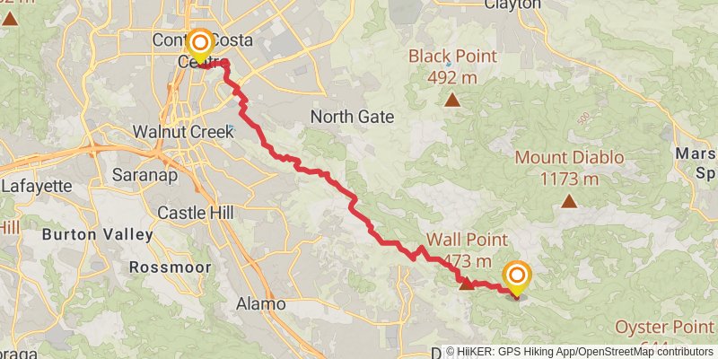
Starting at: Diablo, Contra Costa County, 94598
Ending at: Walnut Creek, Contra Costa County, 94597
Distance: 17.6 km
Elevation gain: 384 m
Duration: 04:09:43
View on mapstage 27
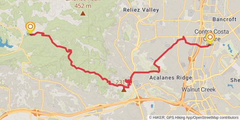
Starting at: Bancroft, Contra Costa County, 94597
Ending at: Lafayette, Contra Costa County, 94553
Distance: 14.7 km
Elevation gain: 756 m
Duration: 04:12:08
View on mapstage 28
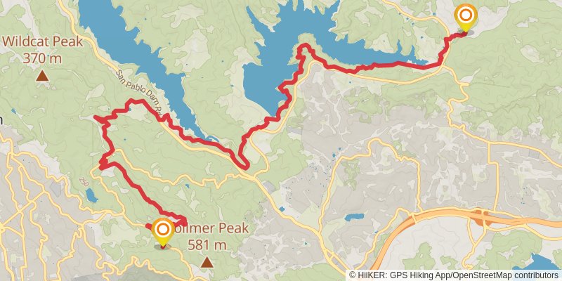
Starting at: Orinda, Contra Costa County, 94553
Ending at: Elder, Orinda, Contra Costa County, 94720
Distance: 19.2 km
Elevation gain: 1015 m
Duration: 05:32:29
View on mapstage 29
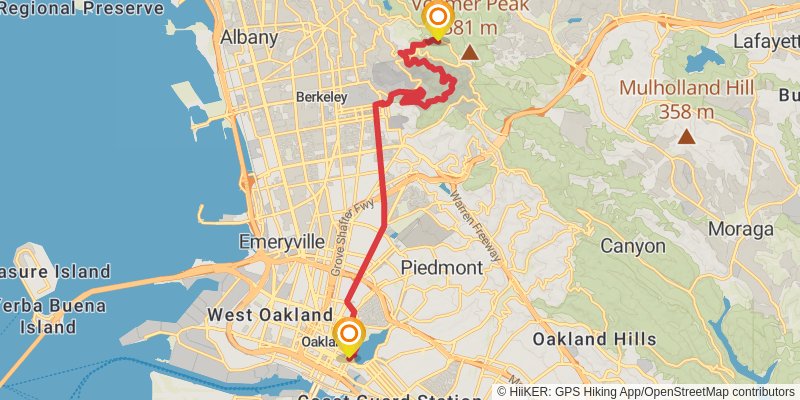
Starting at: Orinda, Contra Costa County, 94708
Distance: 17.8 km
Elevation gain: 226 m
Duration: 03:56:18
View on mapstage 30
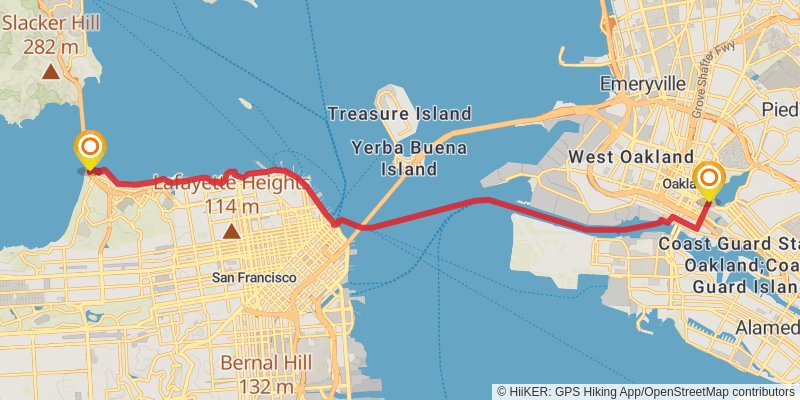
Ending at: San Francisco, San Francisco, 94129
Distance: 21.7 km
Elevation gain: 132 m
Duration: 04:33:36
View on map