Download
Preview
Add to list
More
43.1 km
~3 days
1893 m
Multi-Day
“Conquer the rugged Wadsworth Creek to Table Mountain trail for awe-inspiring views and a triumphant hiking odyssey.”
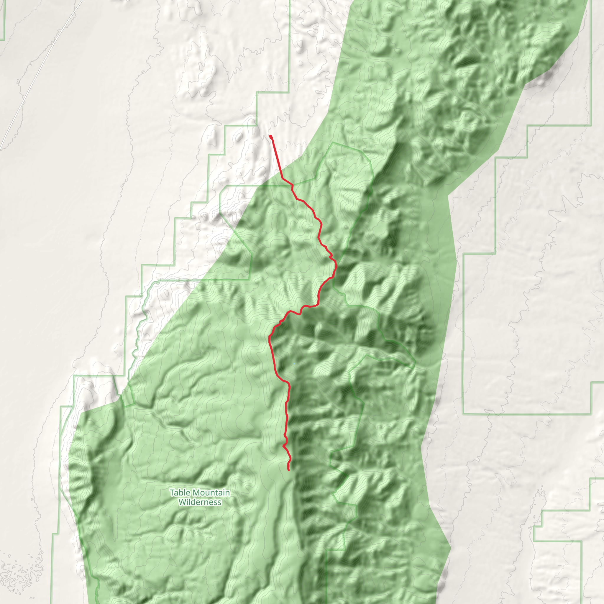
Embarking on the Wadsworth Creek to Table Mountain trail, hikers will traverse a challenging yet rewarding loop that spans approximately 43 kilometers (about 26.7 miles) with an elevation gain of around 1800 meters (nearly 5905 feet). This trail, known for its difficulty, is not for the faint of heart but offers an array of stunning vistas and diverse landscapes that make the arduous journey worthwhile.
Getting to the Trailhead
The trailhead is located near Nye County, Nevada. For those driving, the most accessible route is via State Route 376, turning off at the signed road for the trailhead. Parking is available near the start of the trail. If you're relying on public transportation, options are limited due to the remote nature of the area, so a private shuttle or taxi service from the nearest town may be necessary.
Navigating the Trail
As you set out from the trailhead, the path will lead you through a variety of terrains, including rocky outcrops, dense forested areas, and open meadows. The initial ascent is gradual, but as you progress, the incline becomes steeper, and the trail more rugged. It's essential to have a reliable navigation tool like HiiKER to track your progress and ensure you're on the right path, as the trail can be challenging to follow in places.
Landmarks and Scenery
One of the trail's highlights is the panoramic view from the summit of Table Mountain. After a strenuous climb, hikers are rewarded with breathtaking views of the surrounding valleys and peaks. Along the way, you'll encounter Wadsworth Creek, which is not only a scenic spot but also a good water source if you have a filter.
Flora and Fauna
The trail is home to a diverse range of wildlife, including mule deer, bighorn sheep, and various bird species. The plant life is equally varied, with wildflowers blooming in the spring and summer months, adding a splash of color to the landscape.
Historical Significance
The region around Table Mountain is steeped in history, with ties to the mining boom of the 19th and early 20th centuries. As you hike, you may come across remnants of old mines and settlements that speak to the area's past.
Preparation and Safety
Given the trail's difficulty and remote location, it's crucial to be well-prepared. This means bringing plenty of water, food, and layers of clothing to adapt to changing weather conditions. It's also wise to inform someone of your hiking plan and expected return time.
Seasonal Considerations
The best time to hike this trail is from late spring to early fall when the snow has melted, and the temperatures are more moderate. However, even in these seasons, weather can be unpredictable, so always check the forecast before heading out.
Environmental Impact
Hikers are encouraged to practice Leave No Trace principles to preserve the beauty and integrity of the trail. This includes packing out all trash, being mindful of wildlife, and staying on designated paths to prevent erosion and habitat destruction.
Remember, this trail is a test of endurance and will, but the sense of accomplishment upon completing it is unparalleled. With the right preparation and respect for the natural environment, the Wadsworth Creek to Table Mountain trail is an unforgettable adventure for any seasoned hiker.
What to expect?
Activity types
Comments and Reviews
User comments, reviews and discussions about the Wadsworth Creek to Table Mountain, Nevada.
4.38
average rating out of 5
26 rating(s)

