Download
Preview
Add to list
More
2.4 km
~43 min
140 m
Out and Back
“Explore a moderate 2 km trail near Clark County with stunning views, rich flora, and accessible transport.”
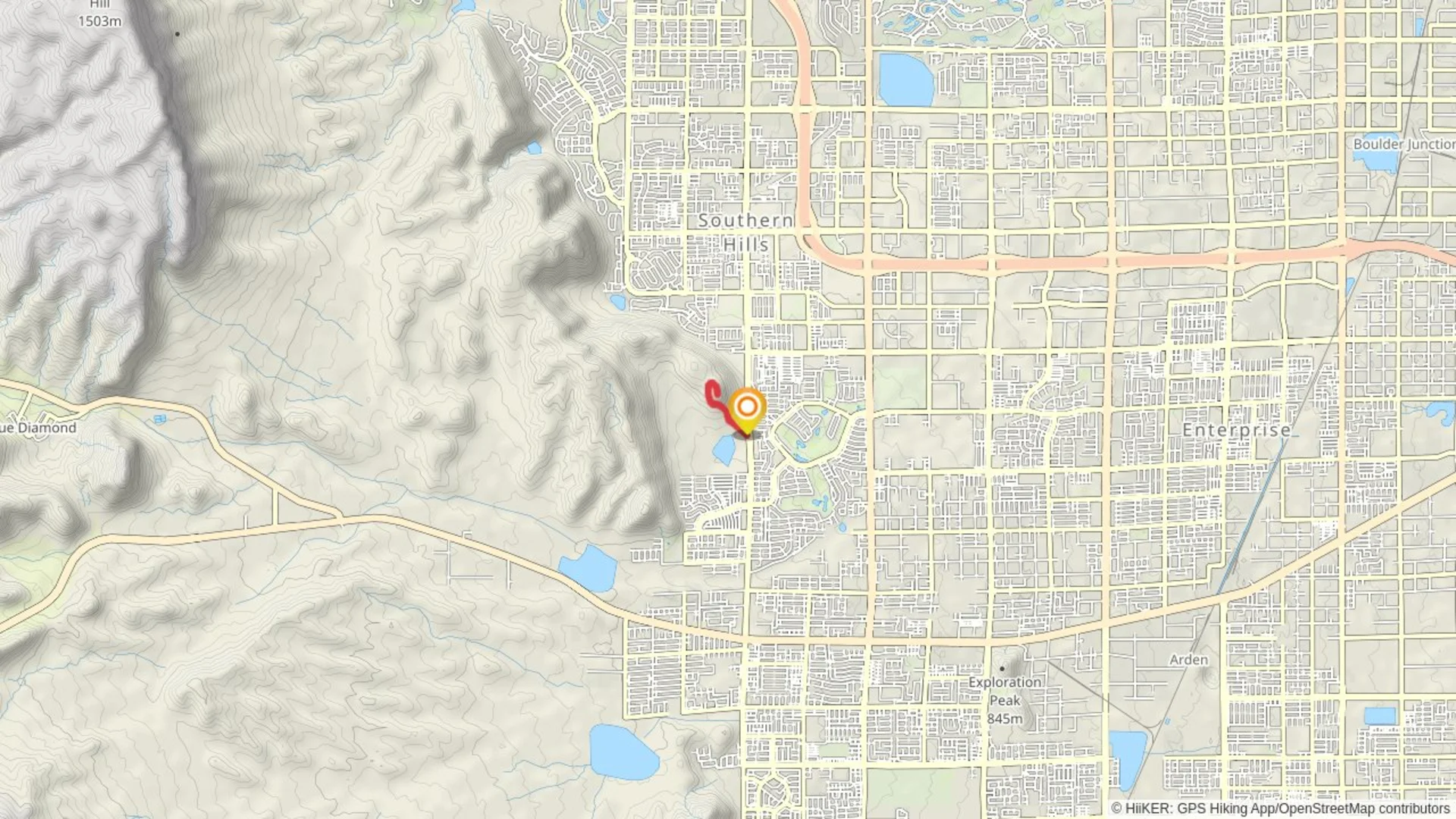
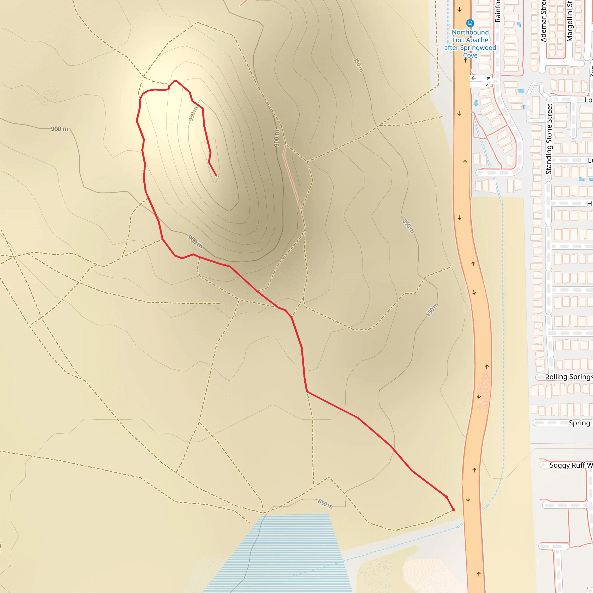
Starting near Clark County, Nevada, this 2 km (approximately 1.24 miles) out-and-back trail offers a moderate challenge with an elevation gain of around 100 meters (328 feet). The trailhead is conveniently located near the intersection of South Fort Apache Road and West Sunset Road, making it easily accessible by car. For those using public transport, the nearest bus stop is at the intersection of South Fort Apache Road and West Sunset Road, serviced by the RTC Southern Nevada bus routes.
Trail Overview
The trail begins with a gentle ascent, gradually increasing in steepness as you progress. The initial section is relatively flat, allowing hikers to warm up before tackling the more challenging parts. As you move further along, the path becomes rockier and more uneven, requiring careful footing. The trail is well-marked, but it's advisable to use the HiiKER app for navigation to ensure you stay on course.
Flora and Fauna
The area is rich in desert flora, including Joshua trees, creosote bushes, and various species of cacti. Keep an eye out for wildlife such as lizards, jackrabbits, and occasionally, desert tortoises. Birdwatchers will also enjoy spotting species like the Gambel's quail and the red-tailed hawk.
Significant Landmarks
About 0.5 km (0.31 miles) into the hike, you'll come across a small, dry creek bed. This is a great spot to take a short break and enjoy the surrounding scenery. At approximately 1 km (0.62 miles), the trail reaches its highest point, offering panoramic views of the Las Vegas Valley and the distant Spring Mountains. This vantage point is perfect for photography, especially during sunrise or sunset when the landscape is bathed in golden light.
Historical Significance
The region around Clark County has a rich history, with evidence of Native American habitation dating back thousands of years. The trail itself doesn't have specific historical markers, but the surrounding area is steeped in cultural significance. The nearby Red Rock Canyon, for instance, has numerous petroglyphs and ancient rock art, providing a glimpse into the lives of the indigenous peoples who once roamed these lands.
Preparation and Safety
Given the moderate difficulty of the trail, it's essential to come prepared. Wear sturdy hiking boots with good ankle support, and bring plenty of water, especially during the hotter months. The trail is exposed with little shade, so sunscreen and a hat are recommended. Always check the weather forecast before heading out, as conditions can change rapidly in the desert.
Getting There
If you're driving, parking is available near the trailhead at the intersection of South Fort Apache Road and West Sunset Road. For those relying on public transport, the RTC Southern Nevada bus routes provide convenient access to the starting point. The nearest bus stop is just a short walk from the trailhead, making it an accessible option for all hikers.
This trail offers a rewarding experience with its moderate challenge, stunning views, and rich natural environment. Whether you're a seasoned hiker or a beginner looking for a bit of adventure, this trail near Clark County, Nevada, is well worth exploring.
What to expect?
Activity types
Comments and Reviews
User comments, reviews and discussions about the South Fort Apache Road, Nevada.
4.42
average rating out of 5
36 rating(s)

