Download
Preview
Add to list
More
Trail length
6.2 km
Time
~1 hrs 56 min
Elevation Gain
420 m
Hike Type
Loop
“Embark on the Timberline Drive Loop for a scenic, historically rich, and moderately challenging 6 km hike.”
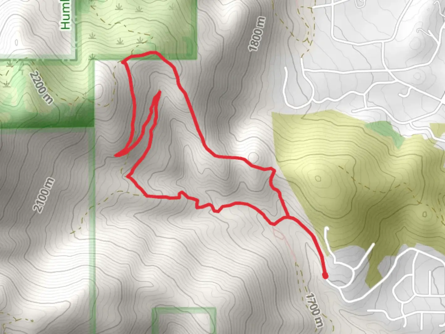
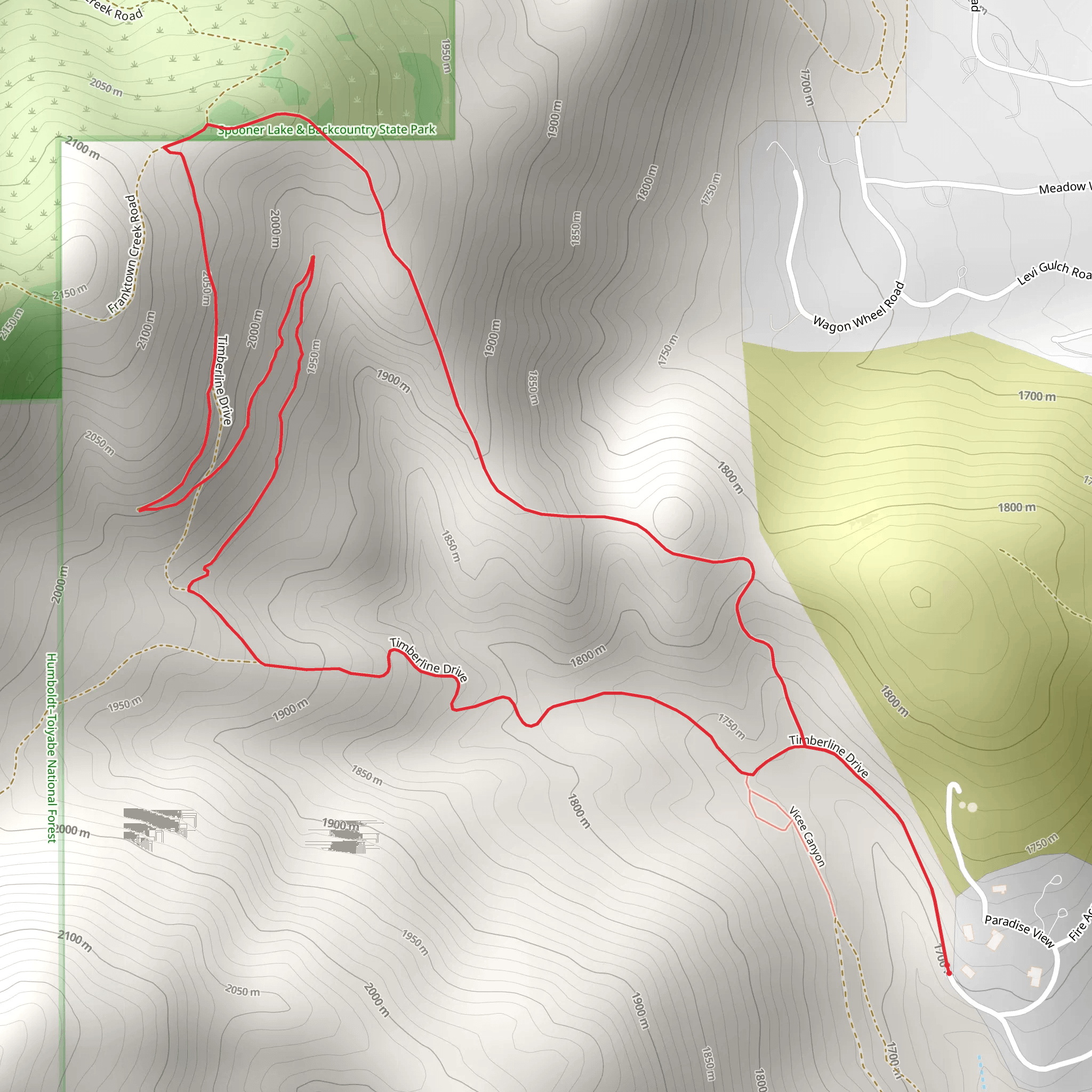
Starting near the City of Carson City, Nevada, the Timberline Drive Loop offers a moderately challenging hike with a distance of around 6 km (approximately 3.7 miles) and an elevation gain of about 400 meters (1,312 feet). This loop trail is perfect for those looking to experience the natural beauty and historical significance of the region.
Getting There To reach the trailhead, you can drive or use public transport. If driving, head towards Timberline Drive, Carson City, NV 89703. For those using public transport, the nearest bus stop is at the intersection of North Carson Street and Winnie Lane, from where you can take a short taxi ride or a rideshare service to the trailhead.
Trail Overview The Timberline Drive Loop begins with a gradual ascent, offering hikers a chance to warm up before tackling the steeper sections. The initial part of the trail is well-marked and winds through a mix of pine and juniper trees, providing ample shade and a serene atmosphere.
Significant Landmarks and Nature At approximately 1.5 km (0.9 miles) into the hike, you'll come across a small, picturesque creek. This is a great spot to take a short break and enjoy the sound of flowing water. As you continue, the trail becomes steeper, gaining elevation more rapidly. Around the 3 km (1.86 miles) mark, you'll reach the highest point of the loop, offering stunning panoramic views of Carson City and the surrounding Sierra Nevada mountains.
Wildlife and Flora The Timberline Drive Loop is home to a variety of wildlife, including mule deer, coyotes, and numerous bird species. Keep an eye out for the vibrant wildflowers that bloom in the spring and early summer, adding splashes of color to the landscape.
Historical Significance This area is rich in history, with the nearby Carson City having been a significant hub during the silver mining boom of the 19th century. The trail itself passes through land that was once traversed by early settlers and miners, adding a layer of historical intrigue to your hike.
Navigation and Safety Given the moderate difficulty of the trail, it's advisable to use a reliable navigation tool like HiiKER to ensure you stay on the correct path. The trail is well-maintained, but it's always good to be prepared for uneven terrain and sudden weather changes. Make sure to carry enough water, wear sturdy hiking boots, and bring layers to adjust to changing temperatures.
Completing the Loop As you descend back towards the trailhead, the path becomes less steep, allowing for a more leisurely pace. The final stretch of the trail takes you through a beautiful meadow, often filled with butterflies and other pollinators during the warmer months. The loop concludes back at Timberline Drive, where you can reflect on the diverse landscapes and rich history you've just experienced.
What to expect?
scenic-views
wildflowers
wildlife
Activity types
hiking
Comments and Reviews
User comments, reviews and discussions about the Timberline Drive Loop, Nevada.
4.48
average rating out of 5
42 rating(s)
