Noaberpad trail stages
stage 1
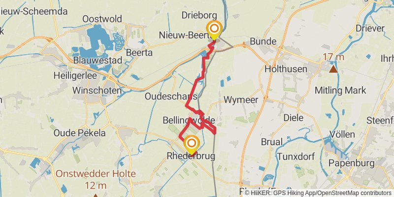
Starting at: Oldambt, Oldambt, 9693PA
Ending at: Rhederbrug, Rhederbrug, 9695 VA
Distance: 22.1 km
Elevation gain: 66 m
Duration: 04:31:42
View on mapstage 2
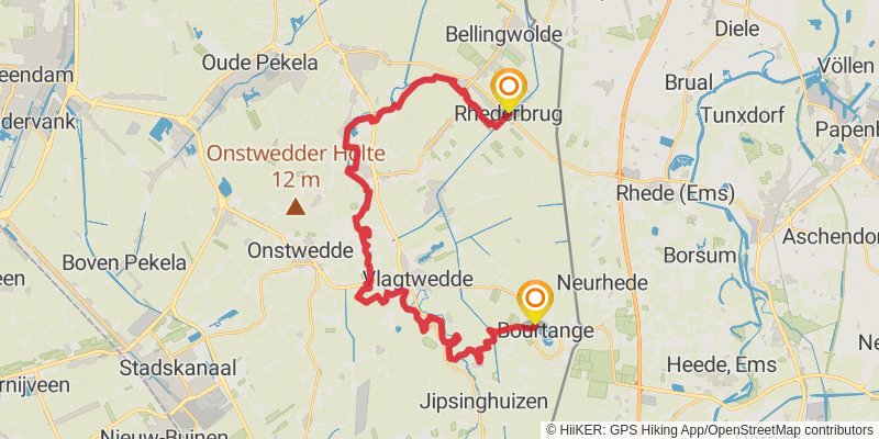
Starting at: Westerwolde, Westerwolde, 9695CP
Distance: 35.5 km
Elevation gain: 145 m
Duration: 07:20:55
View on mapalt 1
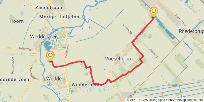
Starting at: Vriescheloo, Vriescheloo, 9699 PA
Ending at: Wedderveer, Wedderveer, 9698
Distance: 8.5 km
Elevation gain: 25 m
Duration: 01:44:42
View on mapstage 3
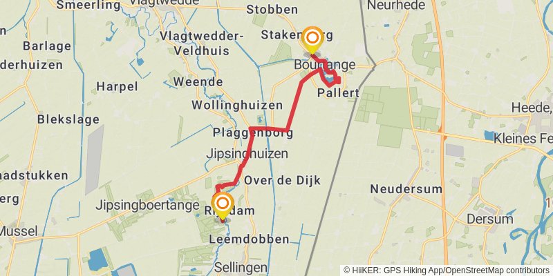
Starting at: Westerwolde, Westerwolde, 9545VB
Ending at: Sellingen, Sellingen, 9551 VW
Distance: 10.7 km
Elevation gain: 29 m
Duration: 02:11:19
View on mapstage 4

Starting at: Westerwolde, Westerwolde, 9551VW
Ending at: Ter Apel, Ter Apel, 9561 LH
Distance: 17.7 km
Elevation gain: 105 m
Duration: 03:42:23
View on mapstage 5

Starting at: Westerwolde, Westerwolde, 9561LJ
Ending at: Oosterbos, Emmen, Emmen, 7825 GA
Distance: 22.6 km
Elevation gain: 95 m
Duration: 04:40:34
View on mapstage 6
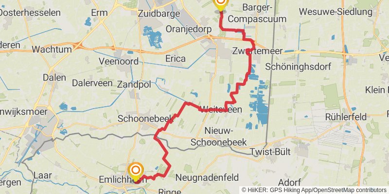
Starting at: Emmen, Emmen, 7889VA
Ending at: Emlichheim, Grafschaft Bentheim, 49824
Distance: 34.2 km
Elevation gain: 120 m
Duration: 07:02:22
View on mapalt 2
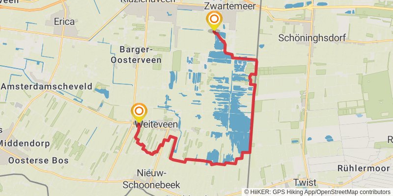
Starting at: Zwartemeer, Zwartemeer, 7894 DM
Ending at: Weiteveen, Weiteveen, 7765 BS
Distance: 17.6 km
Elevation gain: 59 m
Duration: 03:36:47
View on mapalt 3
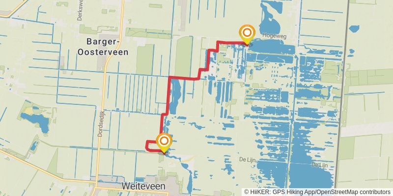
Starting at: Bargerveen, Zwartemeer, Zwartemeer, 7894 AS
Ending at: Klazienaveen, Klazienaveen, 7765 BX
Distance: 5.3 km
Elevation gain: 14 m
Duration: 01:04:57
View on mapstage 7
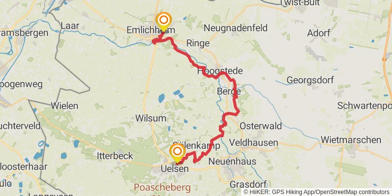
Starting at: Haselaar, Samtgemeinde Emlichheim, 49824
Ending at: Uelsen, Grafschaft Bentheim, 49843
Distance: 28.4 km
Elevation gain: 167 m
Duration: 05:57:56
View on mapstage 8
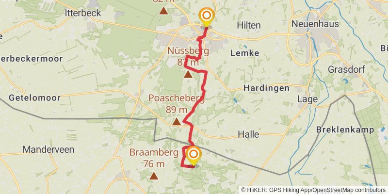
Starting at: Uelsen, Samtgemeinde Uelsen, 49843
Ending at: Tubbergen, Tubbergen, 7662 PB
Distance: 10.6 km
Elevation gain: 126 m
Duration: 02:19:18
View on mapstage 9
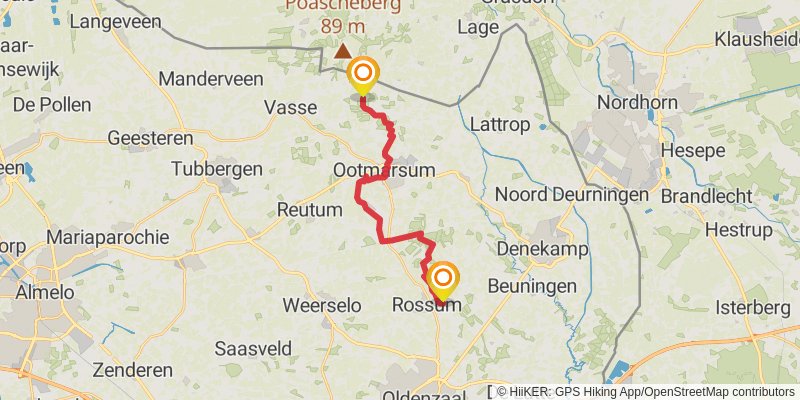
Starting at: Hezingen, Tubbergen, Tubbergen, 7662PB
Ending at: 22306, Rossum, Rossum, 7596 MX
Distance: 16.6 km
Elevation gain: 93 m
Duration: 03:28:36
View on mapalt 4
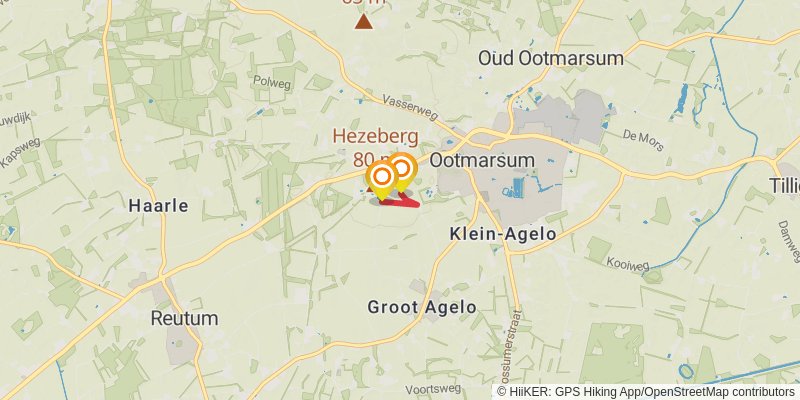
Starting at: Ootmarsum, Ootmarsum, 7631 CZ
Ending at: Agelo, Agelo, 7636 RR
Distance: 681 m
Elevation gain: 7 m
Duration: 00:08:51
View on mapstage 10
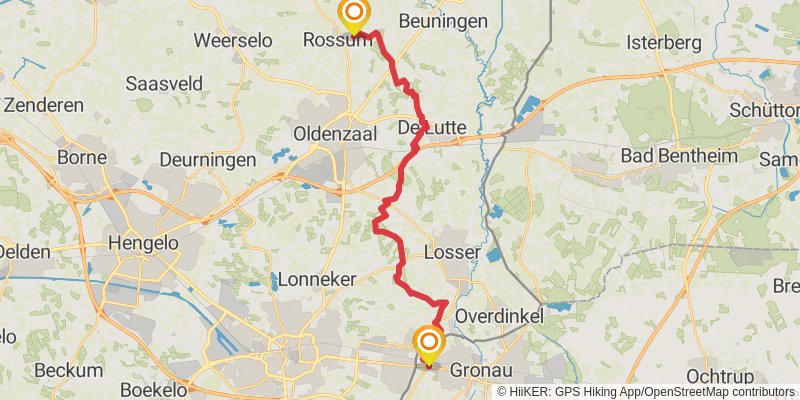
Starting at: Dinkelland, Dinkelland, 7596KG
Ending at: Brook, Gronau, Kreis Borken, 48599
Distance: 24.6 km
Elevation gain: 214 m
Duration: 05:17:04
View on mapalt 5
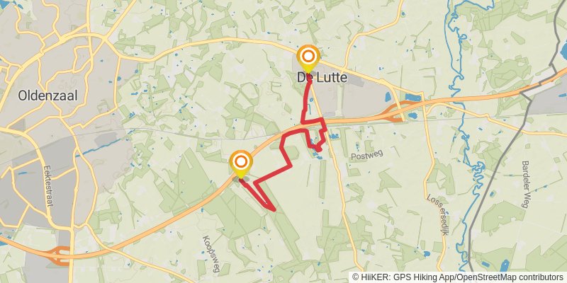
Starting at: Spar, de Lutte, de Lutte, 7587 AM
Ending at: de Lutte, de Lutte, 7587 NZ
Distance: 5.1 km
Elevation gain: 44 m
Duration: 01:06:02
View on mapalt 6
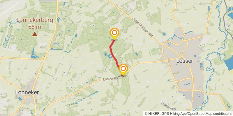
Starting at: Enschede, Enschede, 7582 PB
Ending at: Enschede, Enschede, 7532 RJ
Distance: 1.6 km
Elevation gain: 15 m
Duration: 00:21:02
View on mapstage 11
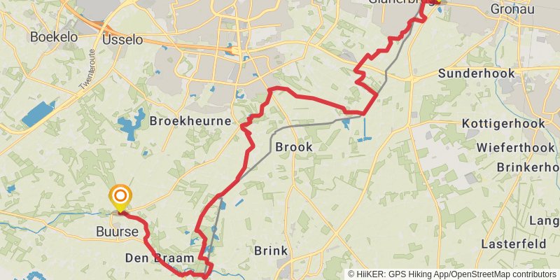
Starting at: Kottigerhook, Kreis Borken, 48599
Ending at: Haaksbergen, Haaksbergen, 7481 PX
Distance: 23.6 km
Elevation gain: 125 m
Duration: 04:55:14
View on mapalt 7
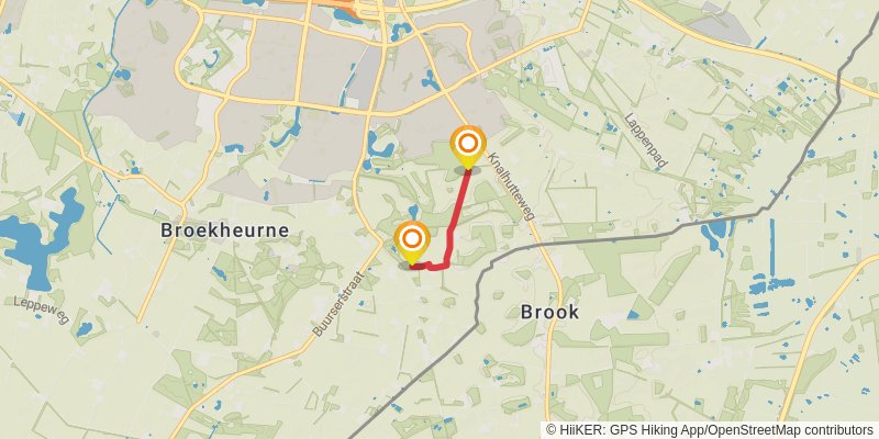
Starting at: Enschede, Enschede, 7542 KE
Ending at: Enschede, Enschede, 7542 PK
Distance: 1.4 km
Elevation gain: 8 m
Duration: 00:17:56
View on mapalt 8

Starting at: Haaksbergen, Haaksbergen, 7481 RA
Ending at: Haaksbergen, Haaksbergen, 7481 RT
Distance: 3.6 km
Elevation gain: 16 m
Duration: 00:45:09
View on mapstage 12
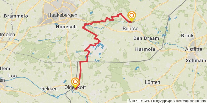
Starting at: Haaksbergen, Haaksbergen, 7481PX
Ending at: Kirche, Vreden, Kreis Borken, 48691
Distance: 15.7 km
Elevation gain: 75 m
Duration: 03:15:32
View on mapalt 9
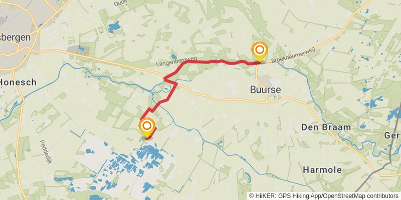
Starting at: Haaksbergen, Haaksbergen, 7481 PX
Ending at: Haaksbergen, Haaksbergen, 7481 SL
Distance: 4.7 km
Elevation gain: 25 m
Duration: 00:59:18
View on mapstage 13
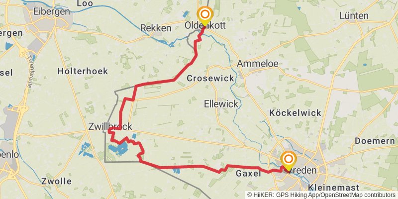
Starting at: Oldenkott, Kreis Borken, 48691
Ending at: Vreden, Kreis Borken, 48691
Distance: 19.4 km
Elevation gain: 72 m
Duration: 03:59:48
View on mapstage 14

Starting at: Kreis Borken, 48691
Distance: 26.2 km
Elevation gain: 156 m
Duration: 05:29:37
View on mapstage 15
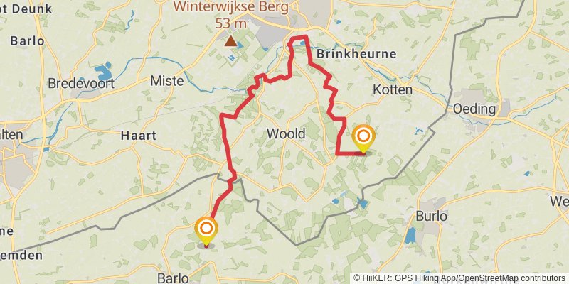
Starting at: Winterswijk, Winterswijk, 7107AX
Ending at: Bocholt, Kreis Borken, 46397
Distance: 16.5 km
Elevation gain: 90 m
Duration: 03:26:59
View on mapstage 16
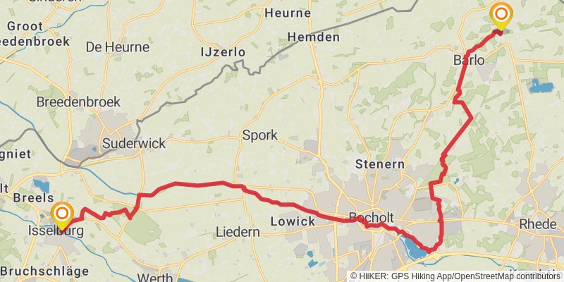
Starting at: Kreis Borken, 46397
Distance: 25.8 km
Elevation gain: 126 m
Duration: 05:22:43
View on mapstage 17
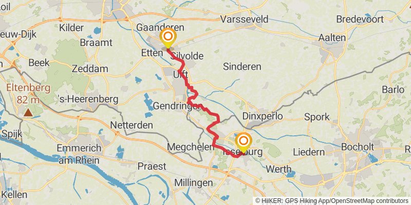
Starting at: Bruchschläge, Kreis Borken, 46419
Ending at: Terborg, Terborg, 7061 CN
Distance: 19.1 km
Elevation gain: 132 m
Duration: 04:02:14
View on mapstage 18
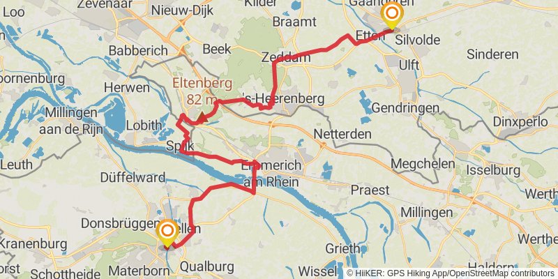
Starting at: Oude IJsselstreek, Oude IJsselstreek, 7061CN
Ending at: Cleves, Kreis Kleve, 47533
Distance: 41.5 km
Elevation gain: 274 m
Duration: 08:45:14
View on map