Download
Preview
Add to list
More
5.9 km
~1 hrs 42 min
321 m
Out and Back
“The Placer Basin Trail offers a scenic, moderately challenging 6-kilometer hike rich in history and wildlife.”
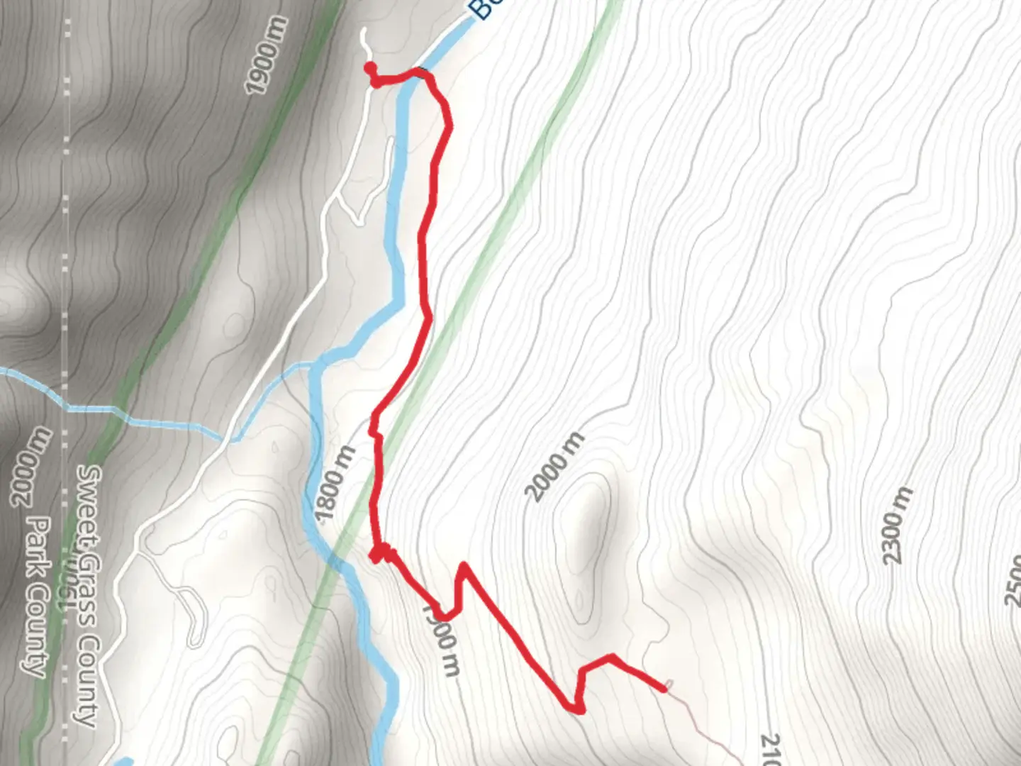
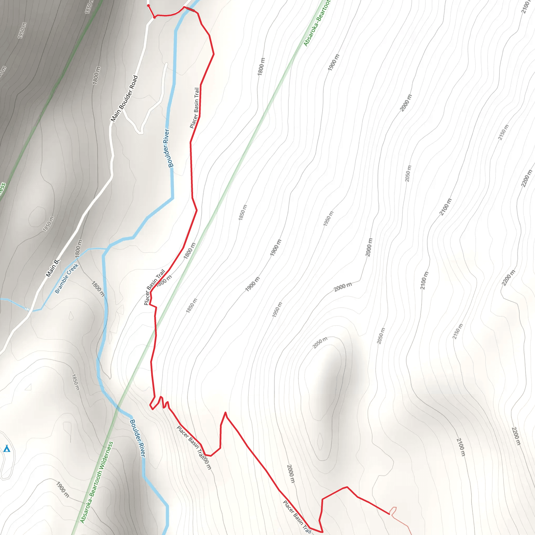
Starting near Sweet Grass County, Montana, the Placer Basin Trail - Short is an invigorating out-and-back hike that spans approximately 6 kilometers (around 3.7 miles) with an elevation gain of about 300 meters (roughly 984 feet). This trail is rated as medium difficulty, making it suitable for moderately experienced hikers looking for a rewarding adventure.
Getting There To reach the trailhead, you can drive or use public transport. If you're driving, head towards Sweet Grass County and look for signs directing you to the trailhead. The nearest significant landmark is the town of Big Timber, Montana. From Big Timber, it's a short drive to the trailhead. For those using public transport, buses run regularly to Big Timber, and from there, you may need to arrange a taxi or rideshare to the trailhead.
Trail Overview The trail begins with a gentle ascent through a mixed forest of pine and spruce, offering a cool and shaded start to your hike. As you progress, the trail becomes steeper, and the forest opens up to reveal stunning views of the surrounding mountains and valleys. Keep an eye out for wildlife; deer and elk are commonly spotted in this area, and if you're lucky, you might even see a black bear from a safe distance.
Significant Landmarks At approximately 2 kilometers (1.2 miles) into the hike, you'll come across an old mining cabin, a relic from the late 19th century when the area was bustling with gold mining activity. This cabin offers a glimpse into the historical significance of the region and serves as a great spot for a short break and some photos.
Continuing on, the trail becomes rockier and more challenging as you approach the 4-kilometer (2.5 miles) mark. Here, you'll find a small, serene alpine lake, perfect for a peaceful rest and a chance to take in the natural beauty of the area. The lake is surrounded by wildflowers in the summer months, adding a splash of color to the rugged landscape.
Navigation and Safety Given the trail's moderate difficulty, it's essential to come prepared. Make sure to bring plenty of water, snacks, and a map or GPS device. The HiiKER app is highly recommended for navigation, as it provides detailed maps and real-time tracking to ensure you stay on course.
Flora and Fauna The Placer Basin Trail is rich in biodiversity. In addition to deer and elk, you might encounter marmots, pikas, and a variety of bird species, including hawks and eagles. The flora varies with elevation; lower sections are dominated by dense forests, while higher elevations feature alpine meadows and rocky outcrops.
Final Stretch The final stretch of the trail leads you to the Placer Basin itself, a wide-open area surrounded by towering peaks. This basin is a fantastic spot for a picnic and offers panoramic views that make the hike well worth the effort. After soaking in the scenery, retrace your steps back to the trailhead, enjoying the downhill journey and the changing perspectives of the landscape.
This trail offers a perfect blend of natural beauty, historical intrigue, and moderate physical challenge, making it a must-visit for hikers in the Sweet Grass County area.
What to expect?
Activity types
Comments and Reviews
User comments, reviews and discussions about the Placer Basin Trail - Short, Montana.
4.69
average rating out of 5
29 rating(s)
