Download
Preview
Add to list
More
9.1 km
~2 hrs 25 min
365 m
Out and Back
“Embark on the Corona Divide Trail's picturesque 9 km journey through Montana's diverse landscapes and rich history.”
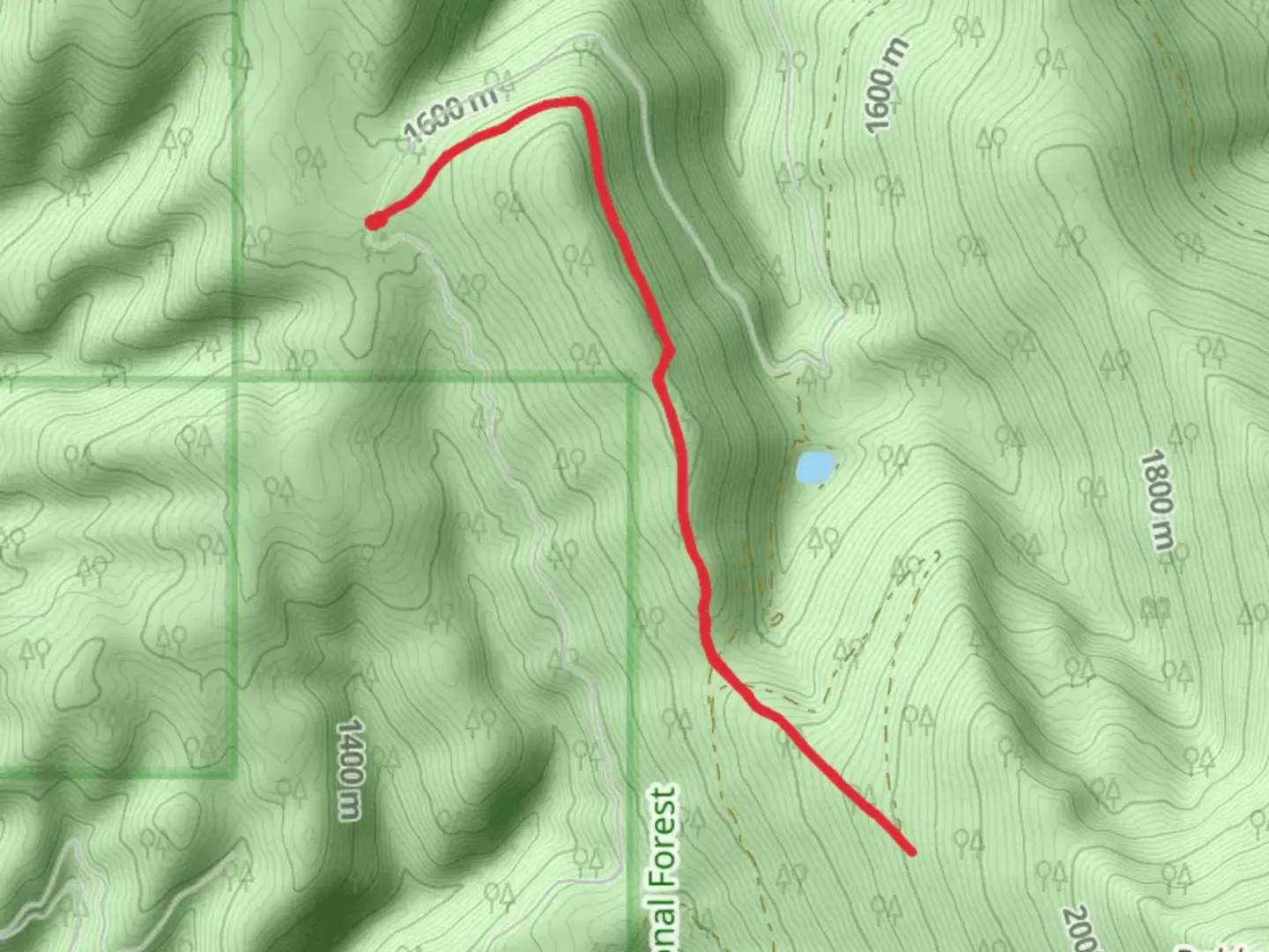
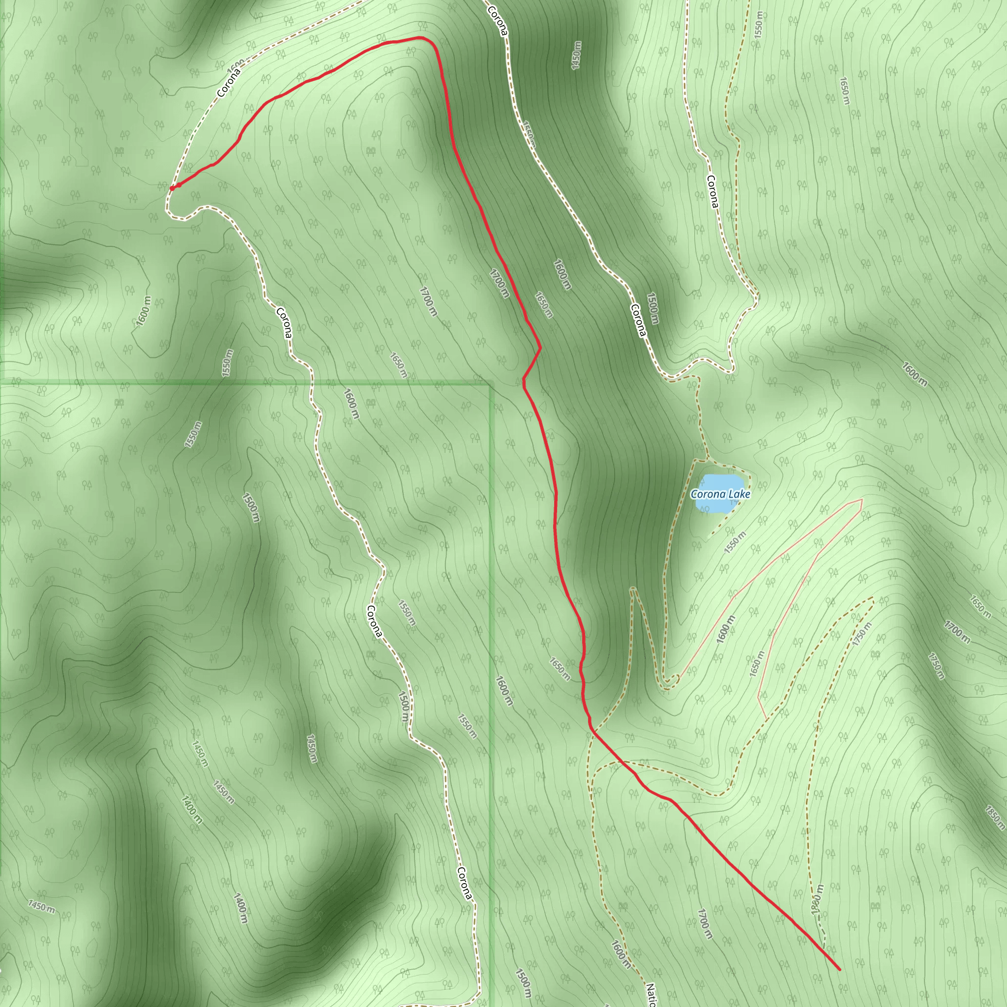
The Corona Divide Trail, nestled in the scenic surroundings of Sanders County, Montana, offers hikers a moderately challenging experience with its approximately 9 km (5.6 miles) out-and-back route. The trail boasts an elevation gain of around 300 meters (984 feet), providing a workout that's satisfying without being overly strenuous.
Getting to the Trailhead
To reach the starting point of the Corona Divide Trail, hikers can drive to the nearest significant landmark, the town of Plains, Montana. From Plains, take MT-200 W for about 20 km (12.4 miles) until you reach the well-marked turnoff for the trailhead on the right. There is a parking area where you can leave your car. Public transport options are limited in this rural area, so driving is the most feasible option for accessing the trail.
Navigating the Trail
Once at the trailhead, hikers can use the HiiKER app to help navigate the trail. The path is well-defined and marked, winding its way through a diverse landscape of dense forest, open meadows, and rocky outcrops. The initial segment of the trail is a gradual ascent through a coniferous forest, where the scent of pine and the soft forest floor underfoot make for a pleasant start.
Landmarks and Wildlife
As you progress, the trail opens up to reveal stunning views of the surrounding mountains and valleys. Approximately 3 km (1.9 miles) in, you'll encounter a notable landmark: an expansive meadow known for its wildflower displays in the spring and early summer. This area is also a habitat for local wildlife, so keep an eye out for deer, elk, and a variety of bird species, including the occasional sighting of bald eagles soaring above.
Historical Significance
The region around the Corona Divide Trail is steeped in history, with the area having been inhabited by indigenous peoples long before European settlers arrived. As you hike, consider the historical significance of the land and the various cultures that have called it home.
Preparing for the Hike
Given the trail's medium difficulty rating, it's important to come prepared with adequate water, snacks, and layers of clothing to adjust to changing weather conditions. The elevation gain is gradual but noticeable, so pace yourself and take breaks as needed. Hiking boots with good ankle support are recommended due to the uneven terrain, especially in the latter half of the trail where rocky sections become more prevalent.
Final Ascent and Return
The final push to the divide offers a slightly steeper climb, leading you to the highest point of the trail. Here, you'll be rewarded with panoramic views that make the ascent worthwhile. After taking in the scenery, you'll follow the same route back to the trailhead, completing your approximately 9 km (5.6 miles) journey through the Montana wilderness.
Comments and Reviews
User comments, reviews and discussions about the Corona Divide Trail, Montana.
4.33
average rating out of 5
3 rating(s)
