Download
Preview
Add to list
More
66.0 km
~4 days
1999 m
Multi-Day
“Embark on a breathtaking 66-kilometer trek through Glacier National Park, ascending to the stunning Stoney Indian Pass.”
Embarking on the Stoney Indian Pass via Belly River Trail, hikers will traverse a path that spans approximately 66 kilometers (41 miles) with an elevation gain of around 1900 meters (6234 feet). The trailhead is conveniently located near Glacier County, Montana, and is accessible by car. To reach the starting point, drivers should navigate towards the Chief Mountain Customs area, which serves as a significant landmark close to the trailhead. From there, follow the signs directing you to the Belly River Trail parking area.
Getting Started on the Belly River Trail
As you begin your journey, the trail will lead you through dense forests and along the serene Belly River. The initial stretch is relatively flat, allowing hikers to warm up before the ascent begins. Approximately 11 kilometers (7 miles) in, you'll reach the picturesque Elizabeth Lake, a perfect spot for a rest or to set up camp if you're planning a multi-day hike.
Ascending Towards Helen Lake
Continuing on, the trail becomes more challenging as you approach Helen Lake. This section includes a series of switchbacks with a steady incline, offering stunning views of the surrounding peaks and valleys. The lake itself, nestled at the base of towering cliffs, is another 9 kilometers (5.6 miles) from Elizabeth Lake and sits at an elevation of about 1524 meters (5000 feet).
Stoney Indian Pass: The Pinnacle of the Hike
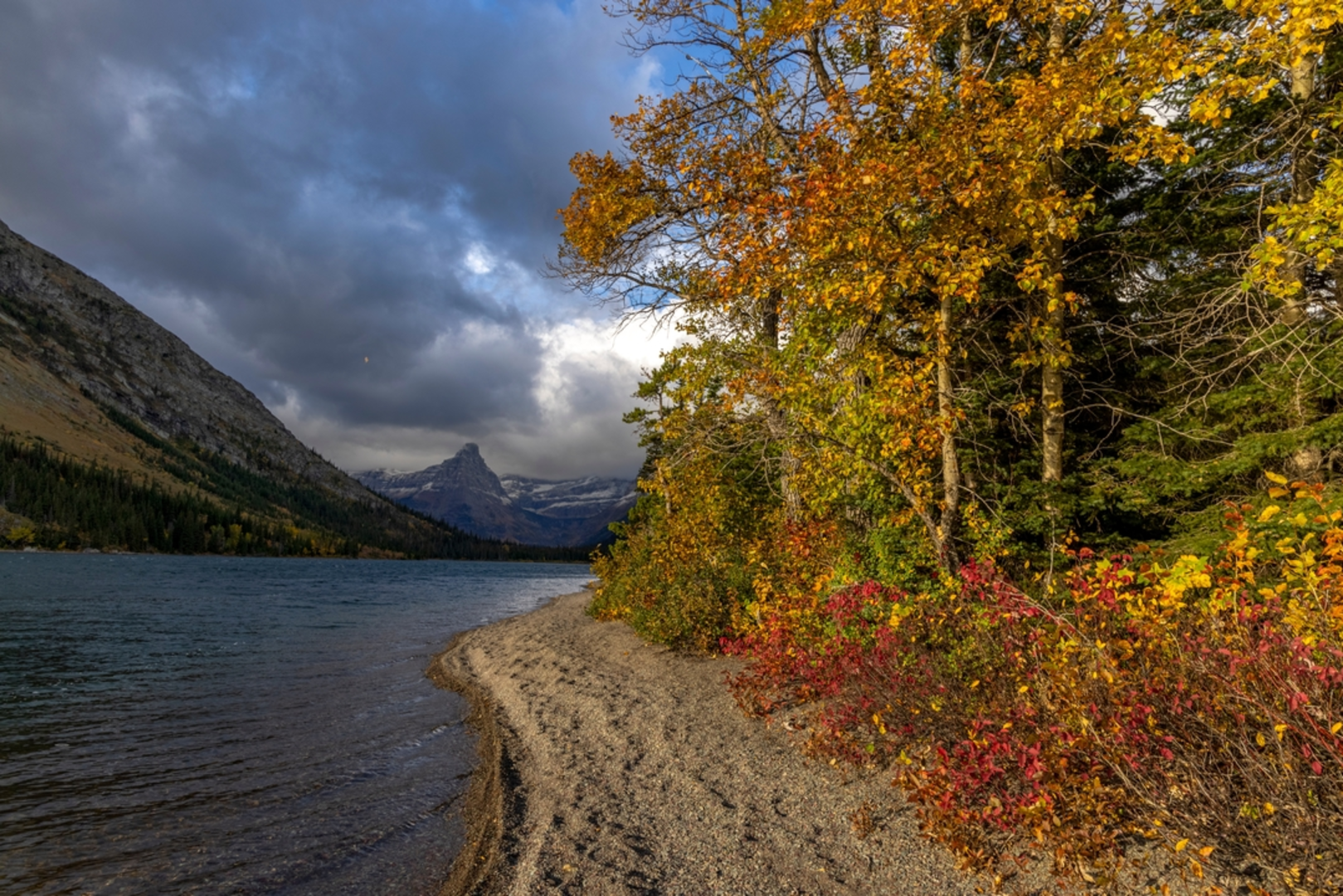
The most strenuous part of the hike is the ascent to Stoney Indian Pass. This segment will test your endurance as you climb the remaining elevation to reach the pass, which is approximately 4 kilometers (2.5 miles) from Helen Lake. The pass itself is a breathtaking vantage point, providing panoramic views of the Glacier National Park's rugged terrain.
Flora, Fauna, and Historical Significance
Throughout the hike, you'll be immersed in the diverse flora and fauna of the region. Keep an eye out for wildlife such as mountain goats, bighorn sheep, and the elusive grizzly bear, while also respecting their habitats. The trail is also rich in historical significance, with the area being a traditional route for the Blackfeet tribe and later used by early explorers and settlers.
Navigation and Preparation
For navigation purposes, HiiKER is an excellent tool to use while trekking this trail. It's important to be well-prepared for the hike, as weather conditions can change rapidly in the mountains. Ensure you have a map, compass, and sufficient food, water, and clothing for the journey. It's also advisable to check in with the local ranger station for any trail updates or advisories before setting out.
Accessing the Trailhead
Public transport options are limited in this remote area, so arriving by car is the most feasible option. From the nearest town or city, follow the directions towards Chief Mountain Customs, and from there, signs will guide you to the Belly River Trail parking area. Remember to secure a parking spot early during peak season, as spaces can fill up quickly.
By providing these details, hikers can adequately prepare and plan for their adventure on the Stoney Indian Pass via Belly River Trail, ensuring a memorable and safe experience amidst the natural beauty of Glacier National Park.
Comments and Reviews
User comments, reviews and discussions about the Stoney Indian Pass via Belly River Trail, Montana.
4.57
average rating out of 5
7 rating(s)

