Download
Preview
Add to list
More
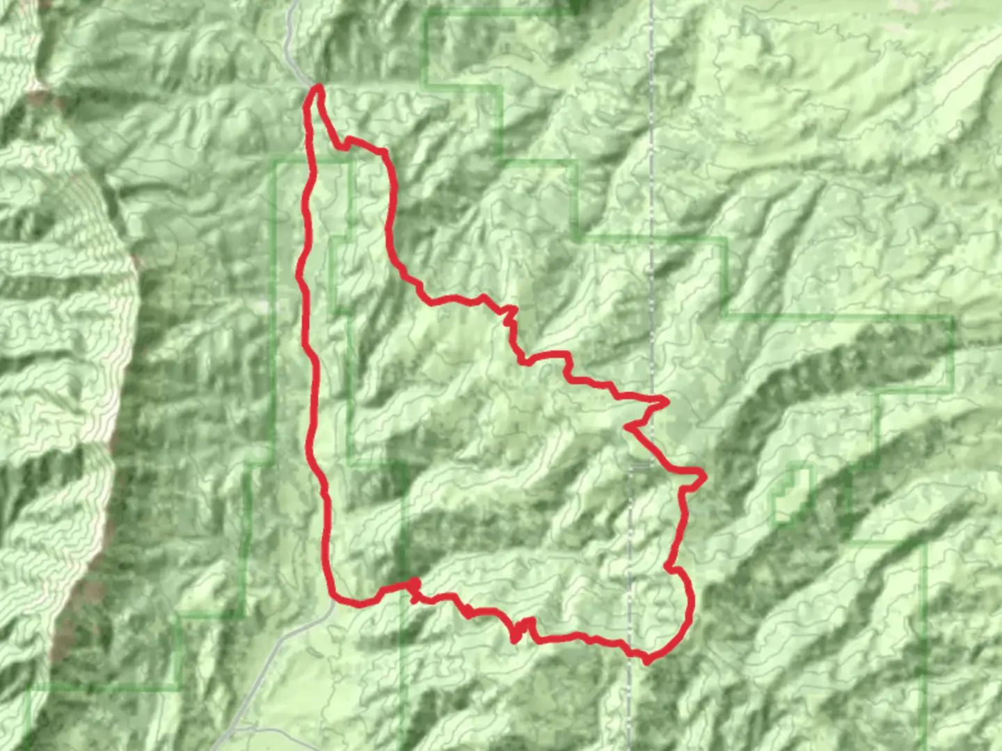
48.3 km
~11 hrs 41 min
1219 m
Loop
“Experience Montana's rugged beauty on a captivating trail offering scenic vistas, diverse wildlife, and historical intrigue.”
Nestled in the heart of Montana, the Bangtail Divide Trail and Bridger Canyon Road Loop offers a captivating journey through the rugged beauty of the Gallatin County region. This 48 km (approximately 30 miles) loop trail is a favorite among hikers seeking a moderately challenging adventure, with an elevation gain of around 1200 meters (about 3937 feet). The trailhead is conveniently located near the vibrant town of Bozeman, making it accessible for both locals and visitors.
Getting There
To reach the trailhead, travelers can drive from Bozeman, which is approximately 20 miles away. Head northeast on Bridger Canyon Road (MT-86) until you reach the designated parking area near the trail's starting point. For those relying on public transport, Bozeman offers bus services that can get you close to the trailhead, but a short taxi or rideshare may be necessary to cover the final stretch.
Trail Highlights
Scenic Vistas and Natural Beauty
The trail meanders through a diverse landscape, offering breathtaking views of the surrounding mountains and valleys. As you ascend, you'll be treated to panoramic vistas of the Bridger Range, with its rugged peaks and lush forests. The trail's highest points provide stunning overlooks, perfect for photography enthusiasts or those simply wishing to soak in the natural splendor.
Flora and Fauna
The Bangtail Divide Trail is a haven for nature lovers. The area is home to a rich variety of plant life, including wildflowers that bloom in vibrant colors during the spring and summer months. Keep an eye out for wildlife such as deer, elk, and occasionally black bears. Birdwatchers will delight in spotting species like the mountain bluebird and the majestic golden eagle soaring overhead.
Historical Significance
This region holds a deep historical significance, with roots tracing back to the Native American tribes who once traversed these lands. The trail itself follows routes that have been used for centuries, offering a glimpse into the past. As you hike, consider the footsteps of those who came before, exploring the same rugged terrain.
Trail Navigation and Safety
The loop is well-marked, but it's always wise to carry a reliable navigation tool like HiiKER to ensure you stay on track. The trail can be rocky and uneven in places, so sturdy hiking boots are recommended. Weather conditions can change rapidly in the mountains, so pack layers and be prepared for sudden shifts in temperature.
Points of Interest
Bridger Bowl Ski Area
Approximately halfway through the loop, you'll pass near the Bridger Bowl Ski Area. While primarily a winter destination, the area offers a unique perspective on the trail, with its ski runs visible from certain vantage points.
Bangtail Ridge
As you traverse Bangtail Ridge, you'll experience some of the most exhilarating sections of the trail. The ridge offers sweeping views and a sense of accomplishment as you conquer its undulating terrain.
Final Preparations
Before embarking on this adventure, ensure you have adequate water, snacks, and a first-aid kit. The trail's moderate difficulty means it's suitable for experienced hikers and those with a good level of fitness. Always inform someone of your plans and expected return time, and check local weather forecasts to avoid any surprises.

What to expect?
Activity types
Comments and Reviews
User comments, reviews and discussions about the Bangtail Divide Trail and Bridger Canyon Road Loop, Montana.
average rating out of 5
0 rating(s)