Download
Preview
Add to list
More
6.9 km
~1 hrs 32 min
94 m
Loop
“The Three Trails Corridor Trail offers a scenic, historically rich, and moderately challenging hiking experience for all levels.”
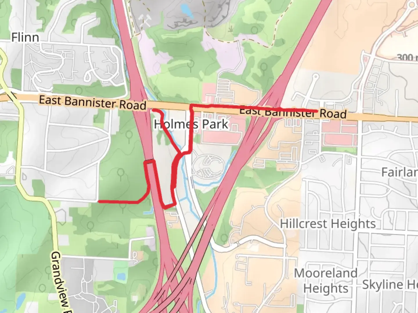
Starting near Jackson County, Missouri, the Three Trails Corridor Trail is a 7 km (approximately 4.35 miles) loop with no significant elevation gain, making it an accessible yet moderately challenging hike for most outdoor enthusiasts. The trailhead is conveniently located near the intersection of Blue Ridge Blvd and Bannister Rd, which is easily accessible by car. For those relying on public transport, the nearest bus stop is at Bannister Rd & Blue Ridge Blvd, serviced by the Kansas City Area Transportation Authority (KCATA).
Trail Navigation and Terrain
The trail is well-marked and maintained, but it's always a good idea to have a reliable navigation tool like HiiKER to ensure you stay on track. The terrain is relatively flat, with a mix of dirt paths and gravel sections. While there are no steep climbs, the trail's moderate difficulty rating comes from its length and the occasional uneven ground.
Flora and Fauna
As you embark on the trail, you'll be greeted by a diverse array of plant life. The area is rich in native Missouri flora, including oak and hickory trees, which provide ample shade during the warmer months. In spring and early summer, wildflowers such as coneflowers and black-eyed Susans add vibrant splashes of color to the landscape.
Wildlife is abundant, and you may encounter white-tailed deer, red foxes, and a variety of bird species, including cardinals and blue jays. Keep an eye out for smaller critters like squirrels and chipmunks, which are commonly seen scurrying across the path.
Historical Significance
The Three Trails Corridor Trail holds historical significance as it traces parts of the historic routes of the Santa Fe, Oregon, and California Trails. These trails were vital during the westward expansion of the United States in the 19th century. Along the way, you'll find informational plaques and markers that provide insights into the lives of the pioneers who traveled these routes. These markers are placed at strategic points, approximately every 1.5 km (0.93 miles), offering a fascinating glimpse into the past.
Points of Interest
Around the 2 km (1.24 miles) mark, you'll come across the Hart Grove Creek, a serene spot perfect for a short rest. The creek is a great place to observe aquatic life and enjoy the soothing sounds of flowing water. Further along, at approximately 4 km (2.48 miles), you'll find a scenic overlook that offers panoramic views of the surrounding landscape, a perfect spot for photography enthusiasts.
Preparation and Safety
Given the moderate difficulty of the trail, it's advisable to wear sturdy hiking boots to navigate the occasional rocky sections comfortably. Bring plenty of water, especially during the summer months, as the Missouri heat can be intense. While the trail is well-shaded, sunscreen and insect repellent are recommended.
Getting There
If you're driving, parking is available near the trailhead at the intersection of Blue Ridge Blvd and Bannister Rd. For those using public transport, the KCATA bus service to Bannister Rd & Blue Ridge Blvd is a convenient option. From the bus stop, it's a short walk to the trailhead.
The Three Trails Corridor Trail offers a blend of natural beauty, historical intrigue, and moderate physical challenge, making it a rewarding experience for hikers of all levels.
What to expect?
Activity types
Comments and Reviews
User comments, reviews and discussions about the Three Trails Corridor Trail, Missouri.
4.4
average rating out of 5
15 rating(s)
