Download
Preview
Add to list
More
385.4 km
~14 days
534 m
Multi-Day
“Embark on Missouri's historic Katy Trail, a scenic 239-mile journey through diverse landscapes and rich American heritage.”
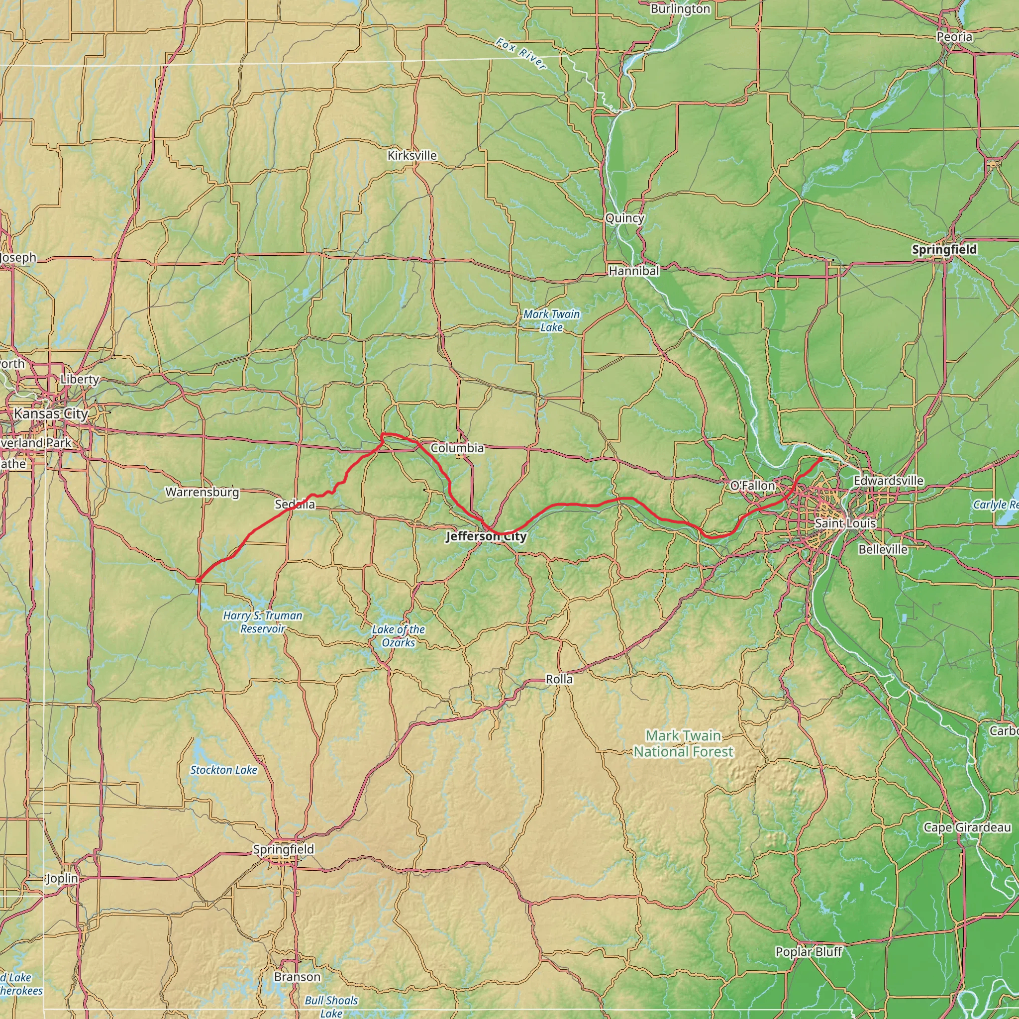
Spanning approximately 385 kilometers (239 miles) and with an elevation gain of around 500 meters (1640 feet), the Katy Trail is one of the longest continuous rail-trails in the United States. This point-to-point trail is nestled in the heart of Missouri and stretches from Clinton to Machens, with the trailhead located near Henry County, Missouri.
Getting to the Trailhead
To reach the starting point near Clinton, hikers can drive to the western terminus of the trail, which is easily accessible by car. For those preferring public transportation, options are limited due to the trail's rural nature, but regional bus services may offer routes to towns near the trailhead. Once in Clinton, the trailhead is located near the intersection of East Sedalia Avenue and North 2nd Street.
Trail Experience
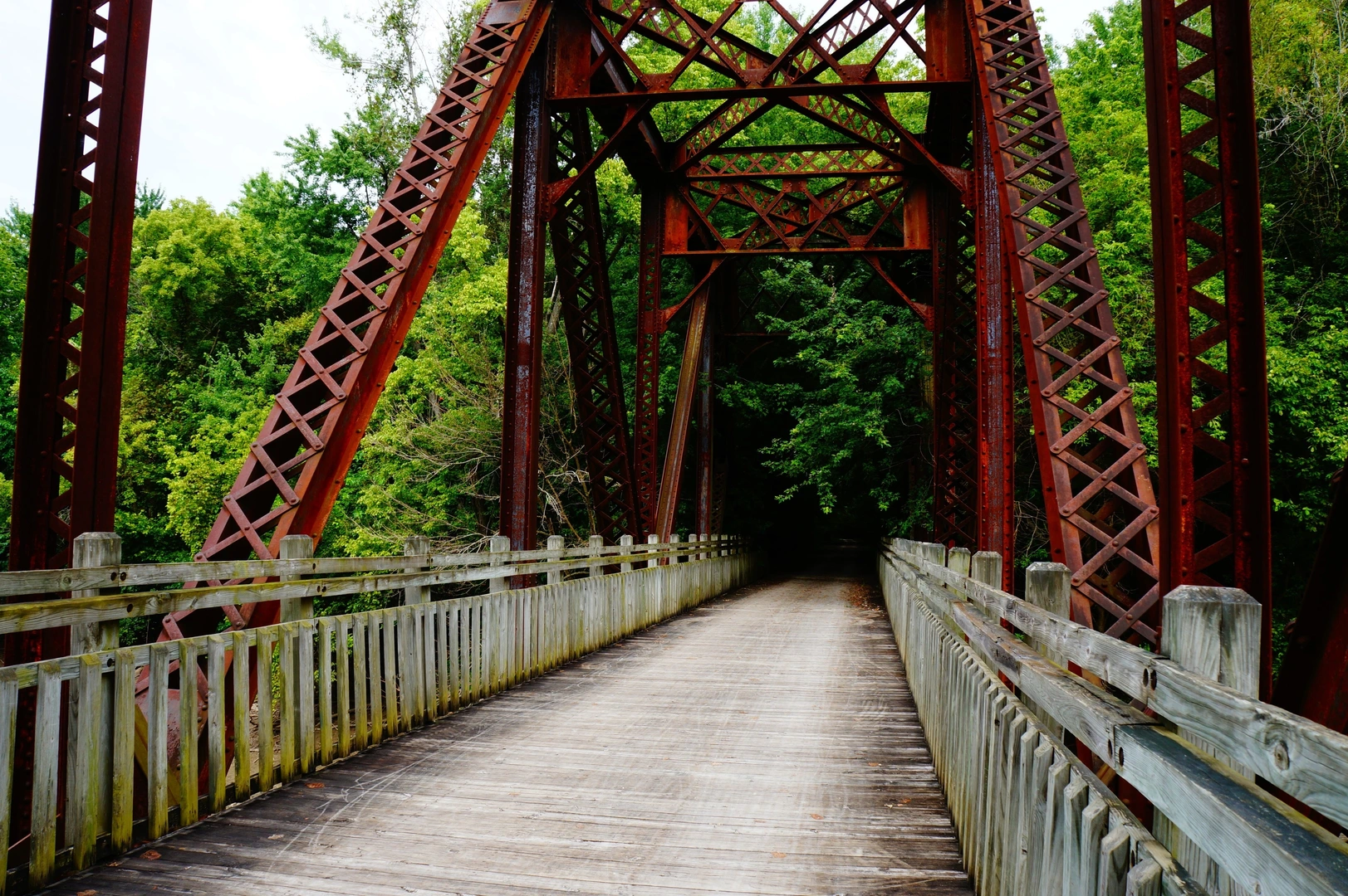
The Katy Trail is renowned for its flat terrain and scenic views, following the former corridor of the Missouri-Kansas-Texas Railroad, hence the name "Katy." The trail's surface is primarily crushed limestone, making it suitable for both walking and cycling. As you embark on your journey, expect to traverse through a variety of landscapes including dense woodlands, peaceful farmlands, and charming small towns.
Historical Significance
The trail has a rich historical backdrop, as it closely follows the route of the Lewis and Clark Expedition and passes through Missouri's wine country, which German immigrants heavily influenced in the 19th century. Along the route, you'll encounter numerous historical markers and interpretive displays that provide insight into the area's past.
Wildlife and Nature
Nature enthusiasts will appreciate the diverse wildlife habitats along the Katy Trail. The trail is a haven for birdwatchers, with opportunities to spot species such as indigo buntings, red-tailed hawks, and even bald eagles near the river bluffs. Deer, foxes, and countless species of butterflies can also be seen by the observant hiker.
Landmarks and Points of Interest
As you progress along the trail, you'll pass through several noteworthy towns and cities, each offering unique attractions. Boonville, with its historic architecture and river views, is a perfect spot for a rest day. The state capital, Jefferson City, is accessible via a bridge crossing the Missouri River, and hikers can explore its many museums and state government buildings.
In the town of Rocheport, the trail runs through the Rocheport Tunnel, a key landmark and one of the scenic highlights of the hike. The trail also offers views of the Missouri River for long stretches, providing a picturesque backdrop for your journey.
Navigation and Planning
For navigation purposes, HiiKER is an excellent tool to use when planning your hike on the Katy Trail. It provides detailed maps and trail information that can help you locate trailheads, water sources, camping spots, and amenities along the route.
Preparation and Considerations
The trail is rated as medium difficulty, mainly due to its length rather than its terrain. It's essential to plan for multiple days of hiking and to carry sufficient water and supplies, as services can be sparse between towns. The trail is open year-round, but spring and fall typically offer the most pleasant temperatures for hiking. Always check the weather forecast before setting out, as the trail can become muddy after rain.
Remember to respect the trail and its natural surroundings by practicing Leave No Trace principles, ensuring that this historic trail can be enjoyed by future generations.
What to expect?
Activity types
Comments and Reviews
User comments, reviews and discussions about the Katy Trail, Missouri.
4.38
average rating out of 5
13 rating(s)

