Download
Preview
Add to list
More
18.0 km
~4 hrs 15 min
402 m
Loop
“Embark on an 18 km scenic journey through forests, meadows, and historic landmarks on the Superior Hiking Trail.”
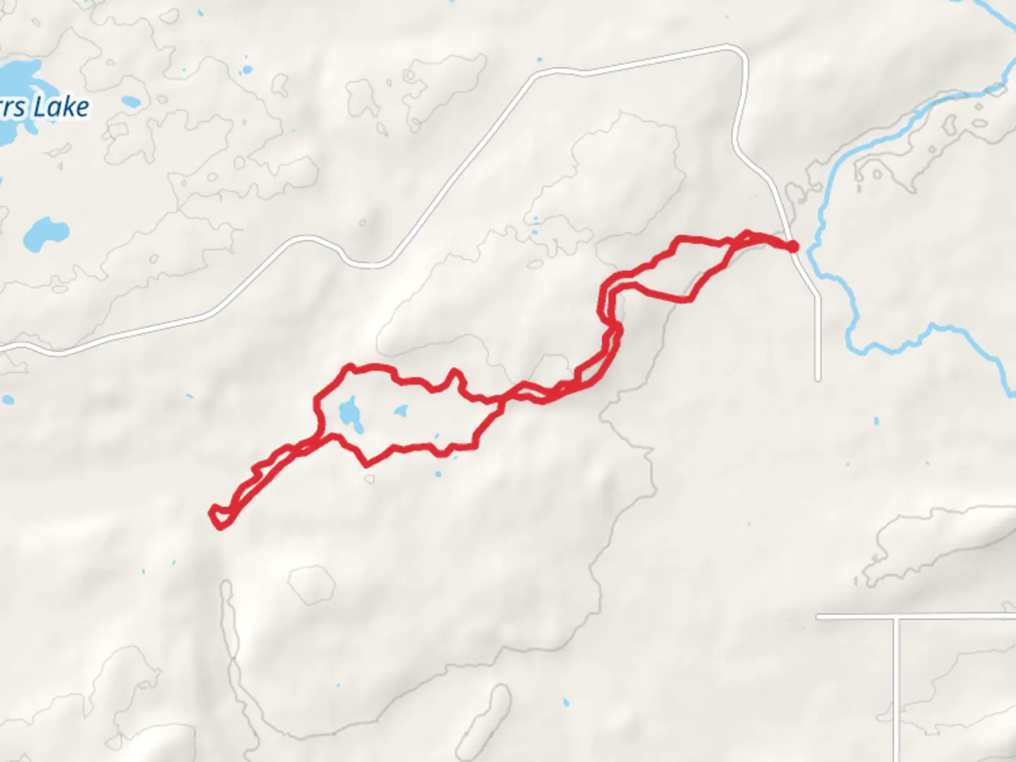
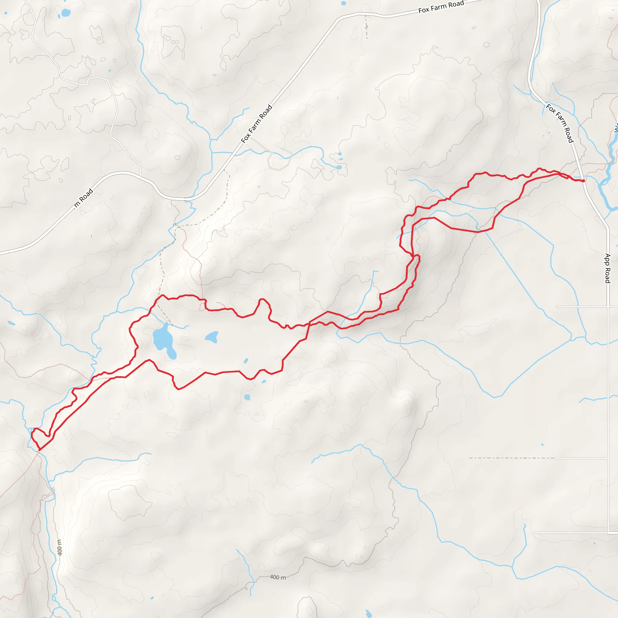
Starting near Saint Louis County, Minnesota, the Superior Hiking and North Shore State Loop Trail offers an 18 km (approximately 11 miles) journey through some of the most scenic landscapes in the region. With an elevation gain of around 400 meters (about 1,312 feet), this loop trail is rated as medium difficulty, making it suitable for moderately experienced hikers.
Getting There To reach the trailhead, you can drive or use public transport. If driving, head towards the nearest known address: Gooseberry Falls State Park, 3206 MN-61, Two Harbors, MN 55616. From there, follow the signs to the trailhead. For those using public transport, the nearest bus stop is in Two Harbors, from where you can take a taxi or rideshare service to the park.
Trail Overview The trail begins with a gentle ascent through dense forests of pine and birch, offering a serene start to your hike. As you progress, the path becomes more rugged, with rocky outcrops and occasional steep sections. The first significant landmark you'll encounter is the Split Rock Lighthouse, located about 5 km (3.1 miles) into the hike. This historic lighthouse, built in 1910, offers stunning views of Lake Superior and is a great spot for a short break.
Mid-Trail Highlights Continuing along the trail, you'll traverse through a mix of hardwood forests and open meadows. Around the 10 km (6.2 miles) mark, you'll reach the highest point of the trail, offering panoramic views of the surrounding landscape. This section is particularly beautiful in the fall when the foliage turns vibrant shades of red and gold.
Flora and Fauna The trail is home to a diverse range of wildlife. Keep an eye out for white-tailed deer, black bears, and various bird species such as bald eagles and peregrine falcons. The flora is equally diverse, with wildflowers like trillium and lady's slipper orchids dotting the path in spring and summer.
Navigational Tips Given the trail's moderate difficulty and varied terrain, it's advisable to use a reliable navigation tool like HiiKER to stay on track. The app provides detailed maps and real-time updates, ensuring you don't miss any key turns or landmarks.
Final Stretch As you loop back towards the starting point, the trail descends gradually, passing through lush valleys and alongside babbling brooks. The final 3 km (1.9 miles) are relatively flat, allowing for a leisurely end to your hike. Before you know it, you'll find yourself back at the trailhead, having completed a rewarding and scenic loop.
Historical Significance The region around the Superior Hiking and North Shore State Loop Trail is rich in history. The area was originally inhabited by the Ojibwe people, and many of the trails were used for centuries as trade routes. The Split Rock Lighthouse itself is a testament to the maritime history of Lake Superior, having guided countless ships safely through its treacherous waters.
This trail offers a perfect blend of natural beauty, wildlife, and historical landmarks, making it a must-visit for any hiking enthusiast.
What to expect?
Activity types
Comments and Reviews
User comments, reviews and discussions about the SUperior Hiking and North Shore State Loop Trail, Minnesota.
4.5
average rating out of 5
36 rating(s)
