Download
Preview
Add to list
More
52.0 km
~2 day
61 m
Point-to-Point
“The William Munger State Trail offers an accessible, scenic hike rich in wildlife and history.”
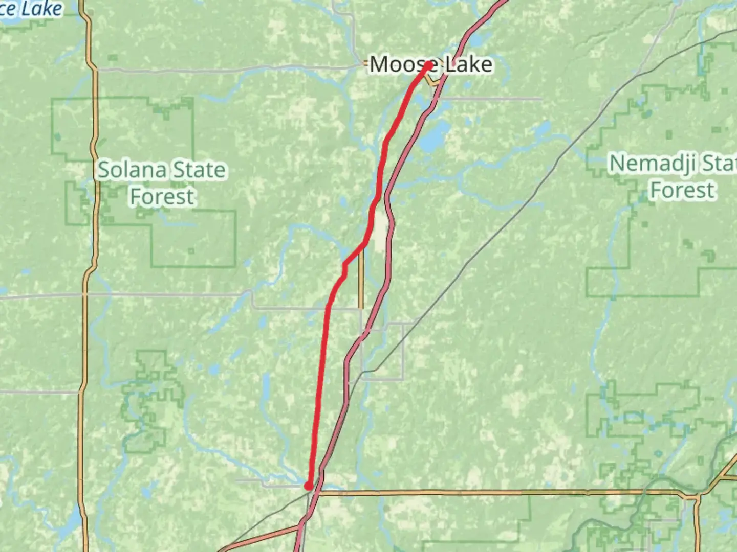
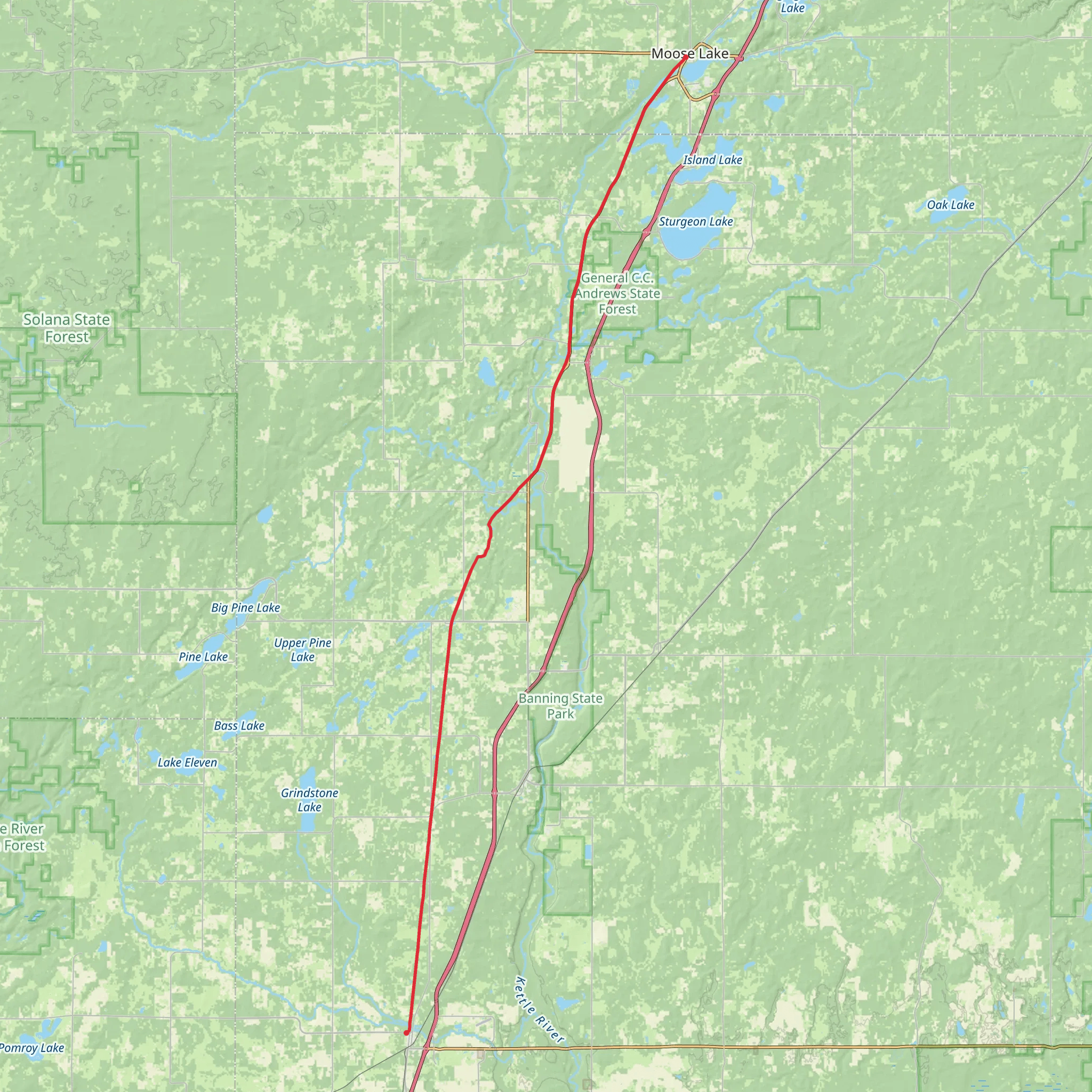
The William Munger State Trail stretches approximately 52 kilometers (about 32 miles) and offers a unique outdoor experience with minimal elevation gain, making it accessible for hikers of varying abilities. This point-to-point trail is nestled in the scenic Carlton County, Minnesota, and is rated with a medium difficulty due to its length.
Getting to the Trailhead To embark on your journey along the William Munger State Trail, you can find the trailhead near Carlton County. For those driving, parking is available at the Munger Trail Parking in Carlton, which is a convenient spot to leave your vehicle before starting the hike. If you're using public transportation, check local transit schedules for buses that service the Carlton area, which can drop you off close to the trailhead.
Trail Experience As you set out from the trailhead, you'll be greeted by a well-maintained path that was once a railway line, now converted into a multi-use trail. The trail is predominantly flat, with an asphalt surface that is ideal for both hikers and cyclists. The surrounding landscape is characterized by a mix of hardwood forests, wetlands, and open fields, offering a diverse array of ecosystems to explore.
Wildlife and Nature Throughout your hike, keep an eye out for the abundant wildlife that inhabits the area. It's not uncommon to spot white-tailed deer, foxes, and a variety of bird species, including hawks and waterfowl. The trail also winds through several different habitats, providing opportunities to observe the changing flora as you progress.
Historical Significance The region holds historical significance, as the trail follows the route of the former Duluth, Winnipeg, and Pacific Railroad. As you traverse the path, you'll be walking along the same corridors that once facilitated the transport of goods and passengers across the state. This historical context adds an enriching layer to your hiking experience.
Navigation and Planning For navigation along the William Munger State Trail, HiiKER is an excellent tool to help you stay on course. It's advisable to download the trail map onto your device before setting out, as this will ensure you have access to the map even if you lose cell service. Additionally, HiiKER can provide you with real-time updates on your location and progress.
Preparation and Amenities Given the trail's length, it's important to prepare adequately for the hike. Ensure you have enough water, snacks, and appropriate clothing for the weather conditions. There are rest stops and benches along the route, allowing for breaks to rest and refuel. The trail also features several interpretive signs that provide information about the natural and historical aspects of the area.
Accessibility One of the trail's advantages is its accessibility. The flat terrain and paved surface make it a good option for families, novice hikers, or those looking for a leisurely walk or bike ride. The trail is also wheelchair accessible, ensuring that it can be enjoyed by visitors with mobility challenges.
Whether you're seeking a full-day adventure or a short excursion into nature, the William Munger State Trail offers a memorable experience with its rich history, diverse wildlife, and picturesque landscapes.
What to expect?
Activity types
Comments and Reviews
User comments, reviews and discussions about the William Munger State Trail, Minnesota.
average rating out of 5
0 rating(s)
