Download
Preview
Add to list
More
2.8 km
~35 min
19 m
Loop
“The Marryland Loop offers a scenic, history-rich hike through diverse terrain, accessible for most hikers.”
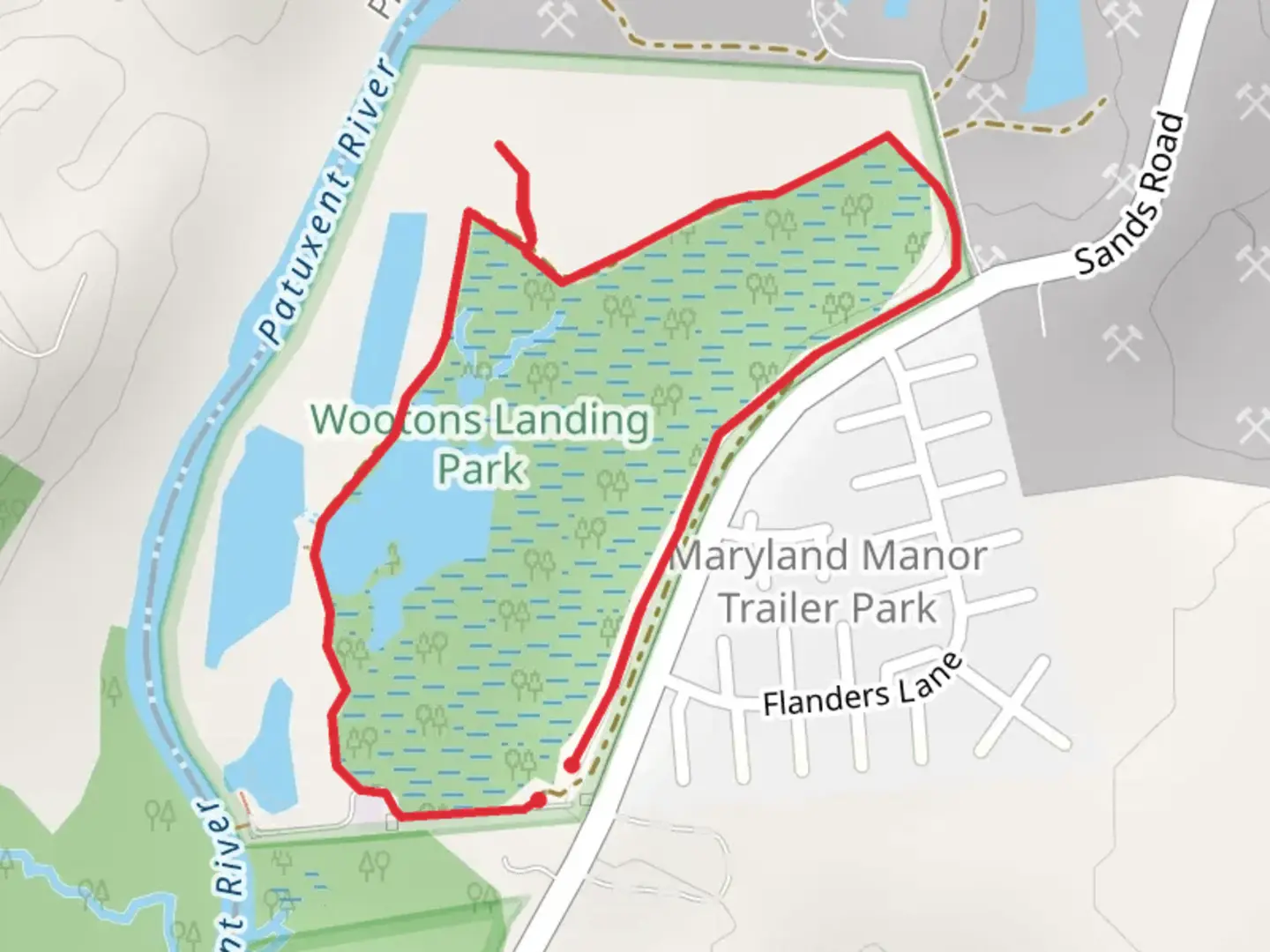
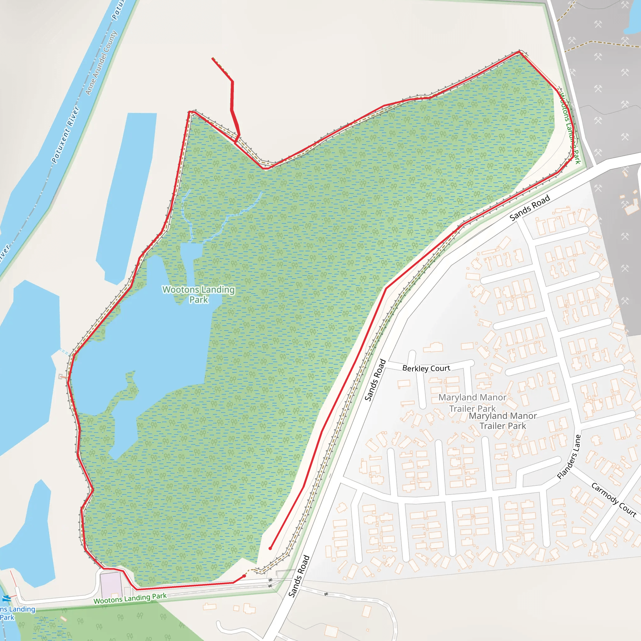
Starting near Anne Arundel County, Maryland, the Marryland Loop is a delightful 3 km (approximately 1.86 miles) trail with no significant elevation gain, making it accessible for a wide range of hikers. The trailhead is conveniently located near the Anne Arundel County Fairgrounds, which can be easily reached by car or public transport. If driving, you can park at the fairgrounds, and for those using public transport, local bus routes service the area, with stops close to the fairgrounds.
Trail Overview
The Marryland Loop is a medium-difficulty trail, primarily due to its varied terrain rather than elevation changes. The path meanders through a mix of wooded areas and open fields, offering a diverse hiking experience. The trail is well-marked, but it's always a good idea to have a reliable navigation tool like HiiKER to ensure you stay on track.
Points of Interest
#### Natural Features
As you embark on the Marryland Loop, you'll first encounter a serene wooded section. This part of the trail is shaded by a canopy of oak and maple trees, providing a cool respite during warmer months. Keep an eye out for local wildlife, including white-tailed deer and a variety of bird species such as cardinals and blue jays. The trail then transitions into open fields, where wildflowers bloom in the spring and summer, adding a splash of color to your hike.
#### Historical Significance
The region around Anne Arundel County is steeped in history. While the trail itself may not have specific historical landmarks, the surrounding area is rich with colonial history. Anne Arundel County was established in 1650 and named after Lady Anne Arundell, a member of the English nobility. As you hike, consider the historical context of the land, once traversed by early settlers and Native American tribes.
Trail Navigation
The Marryland Loop is a well-maintained trail, but it's always wise to be prepared. The path is marked with clear signage at regular intervals. However, for those who prefer a digital guide, HiiKER provides an excellent resource for real-time navigation and additional trail information.
Getting There
For those driving, set your GPS to the Anne Arundel County Fairgrounds, located at 1450 Generals Hwy, Crownsville, MD 21032. Ample parking is available at the fairgrounds. If you prefer public transport, local bus routes 202 and 203 have stops near the fairgrounds, making it a convenient option for those without a car.
Final Tips
While the Marryland Loop is relatively short and flat, it's always good practice to bring water, wear comfortable hiking shoes, and check the weather forecast before heading out. The trail can get muddy after rain, so be prepared for potentially slippery conditions. Enjoy the blend of natural beauty and historical ambiance that this charming loop has to offer.
What to expect?
Activity types
Comments and Reviews
User comments, reviews and discussions about the Marryland Loop, Maryland.
4.32
average rating out of 5
19 rating(s)
