Via Alpina - Red Trail trail stages
stage 1
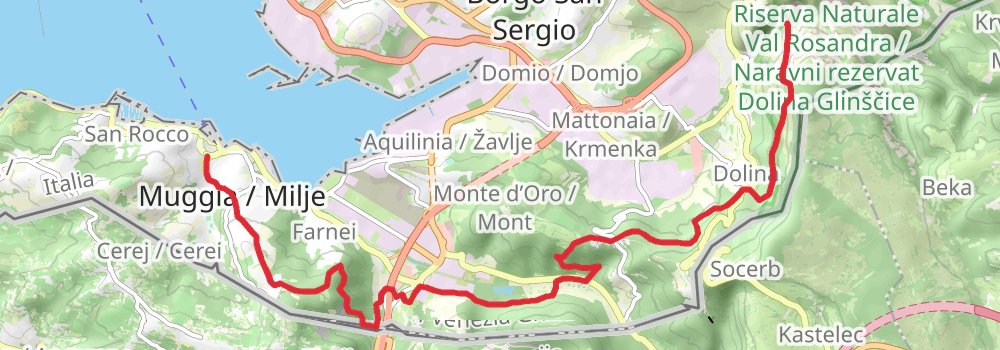
stage 2
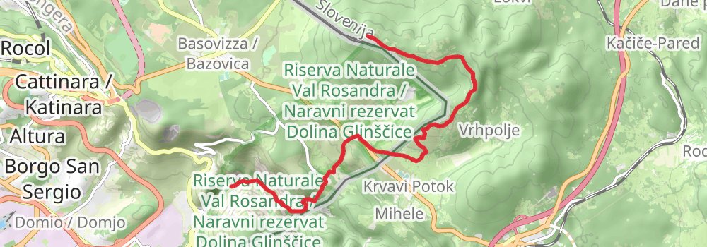
Ending at: Planinski dom Kokoš, Sežana, Sežana, 6219
Distance: 10.8 km
Elevation gain: 760 m
Duration: 03:25:36
stage 3
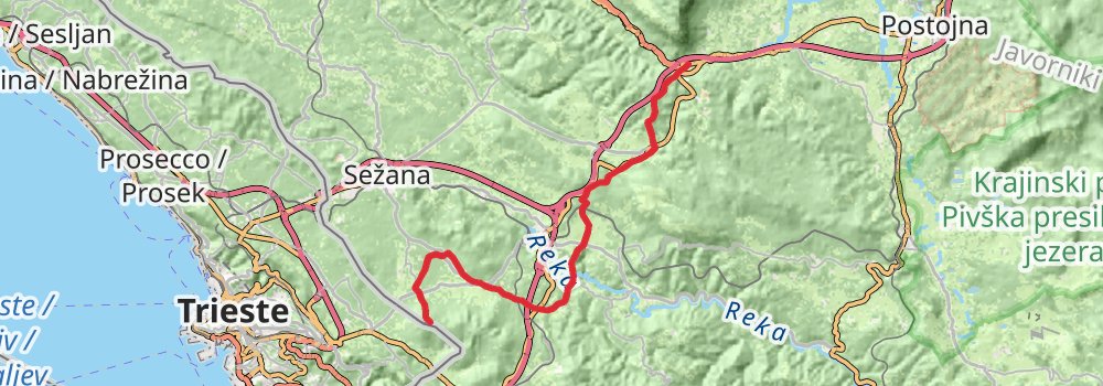
Starting at: Planinski dom Kokoš, Sežana, Sežana, 6219
Ending at: Postojna, Postojna, 6225
Distance: 30.5 km
Elevation gain: 897 m
Duration: 07:36:05
stage 4
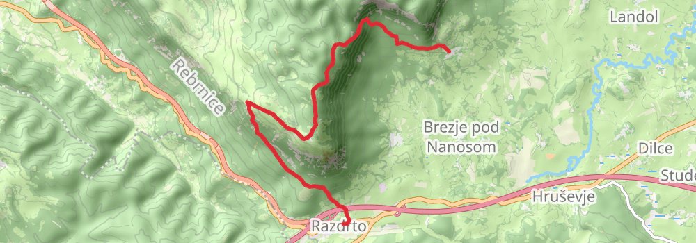
Starting at: Postojna, Postojna, 6225
Ending at: Strane, Postojna, Postojna, 6225
Distance: 10.2 km
Elevation gain: 809 m
Duration: 03:23:17
stage 5
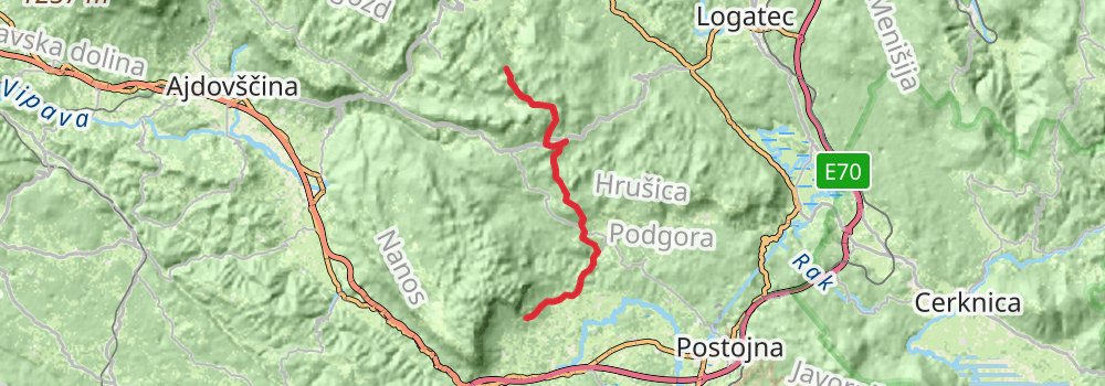
Starting at: Postojna, Postojna, 6225
Ending at: Gradnikova brigada, Idrija, Idrija, 5274
Distance: 20.7 km
Elevation gain: 1080 m
Duration: 05:56:22
stage 6
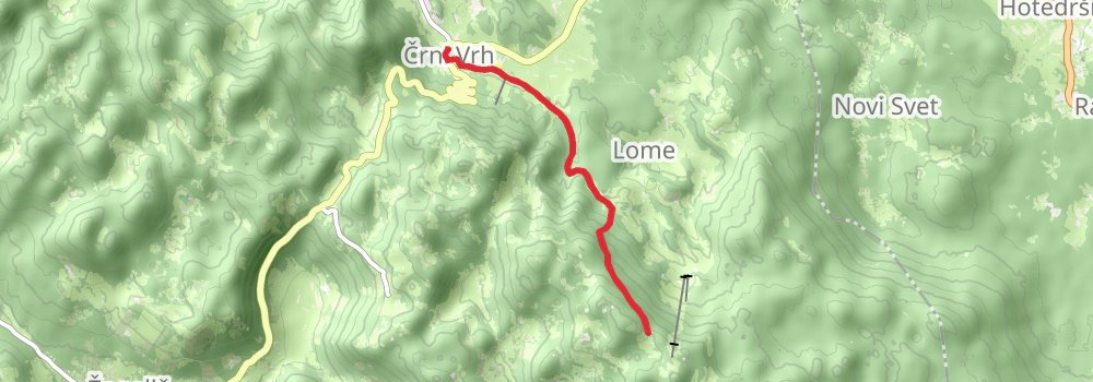
Starting at: Gradnikova brigada, Idrija, Idrija, 5274
Ending at: Trebče, Idrija, Idrija, 5274
Distance: 5.4 km
Elevation gain: 32 m
Duration: 01:08:13
stage 7

Starting at: Trebče, Idrija, Idrija, 5274
Ending at: Vodičar, Idrija, Idrija, 4225
Distance: 21.8 km
Elevation gain: 1294 m
Duration: 06:30:28
stage 8
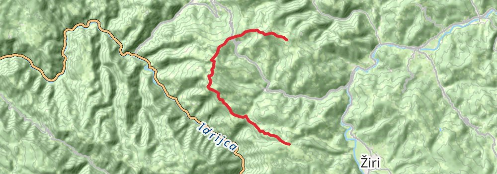
Starting at: Idrija, Idrija, 4225
Ending at: Podjelovo Brdo, Podjelovo Brdo, 4225
Distance: 13.9 km
Elevation gain: 906 m
Duration: 04:16:51
stage 9

Distance: 16.7 km
Elevation gain: 1704 m
Duration: 06:10:56
stage 10
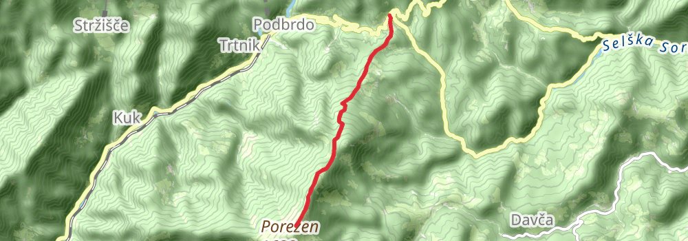
Starting at: Planinski dom na Poreznu, Tolmin, Tolmin, 5243
Ending at: Petrovo Brdo, Tolmin, Tolmin, 5243
Distance: 5.6 km
Elevation gain: 54 m
Duration: 01:13:08
stage 11
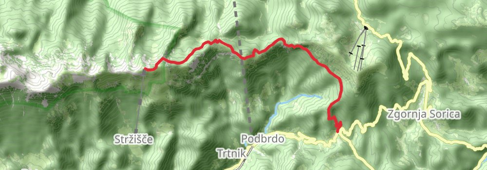
Starting at: Tolmin, Tolmin, 5243
Ending at: Dom Zorka Jelinčiča, Tolmin, Tolmin, 5242
Distance: 10.1 km
Elevation gain: 1493 m
Duration: 04:30:40
stage 12
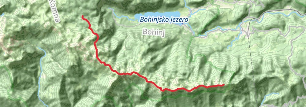
Starting at: Dom Zorka Jelinčiča, Tolmin, Tolmin, 5242
Ending at: Bohinj, Bohinj
Distance: 19.2 km
Elevation gain: 1565 m
Duration: 06:27:05
stage 13
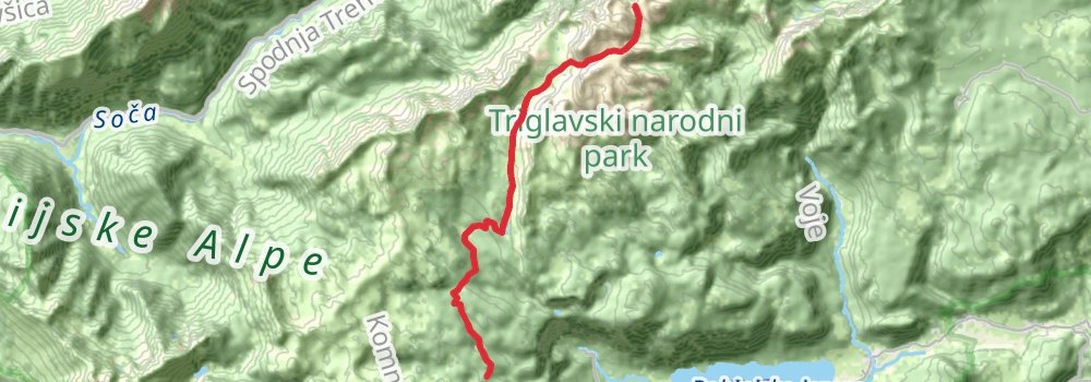
Starting at: Bohinj, Bohinj
Ending at: Bovec, Bovec
Distance: 14.9 km
Elevation gain: 1347 m
Duration: 05:14:04
stage 14
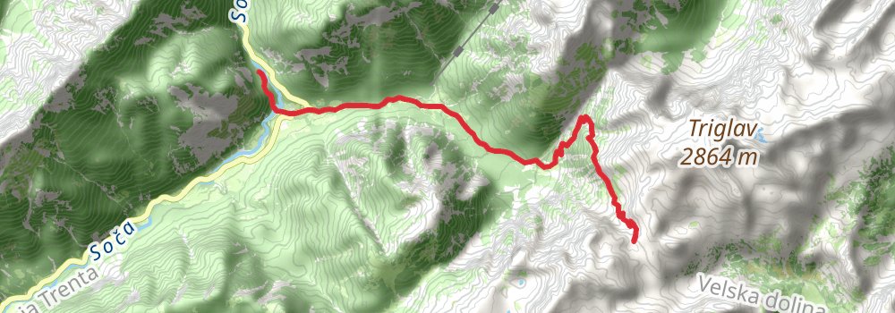
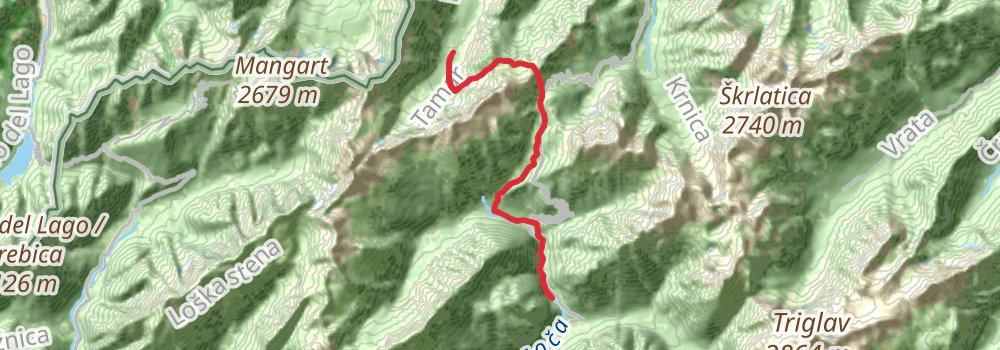
Starting at: Koča na Doliču, Bovec, Bovec, 5232
Ending at: Soška pot, Bovec, Bovec
Distance: 11.9 km
Elevation gain: 823 m
Duration: 03:45:20
stage 15
stage 16
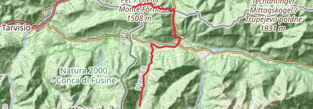
Starting at: Kranjska Gora, Kranjska Gora, 4283
Ending at: Arnoldstein, Bezirk Villach-Land, 9601
Distance: 17.0 km
Elevation gain: 935 m
Duration: 04:57:01
stage 17
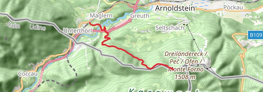
Starting at: Arnoldstein, Bezirk Villach-Land, 9601
Distance: 7.7 km
Elevation gain: 169 m
Duration: 01:49:11
stage 18
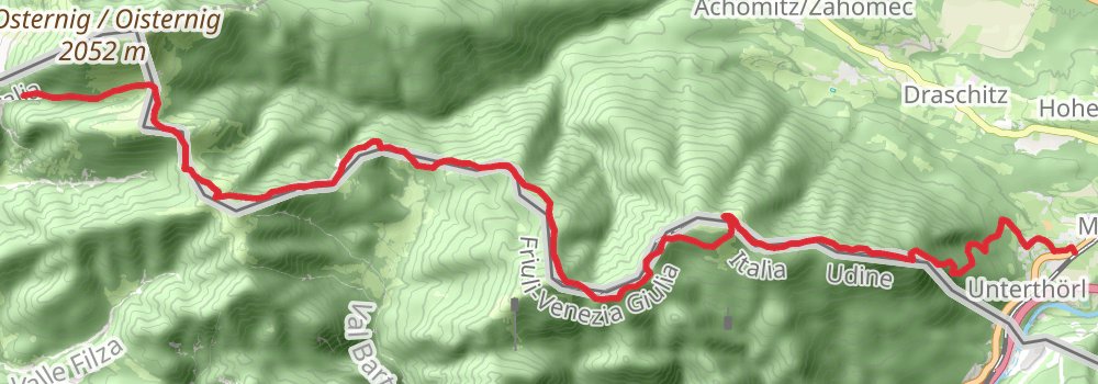
Distance: 19.3 km
Elevation gain: 2012 m
Duration: 07:12:20
stage 19
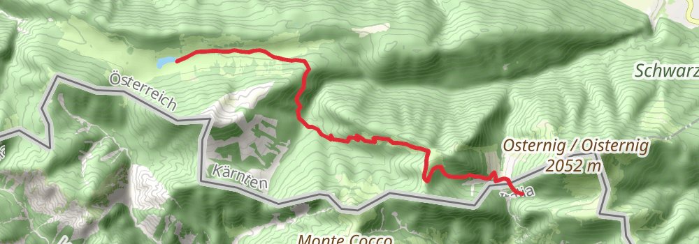
Distance: 11.0 km
Elevation gain: 734 m
Duration: 03:25:22
stage 20
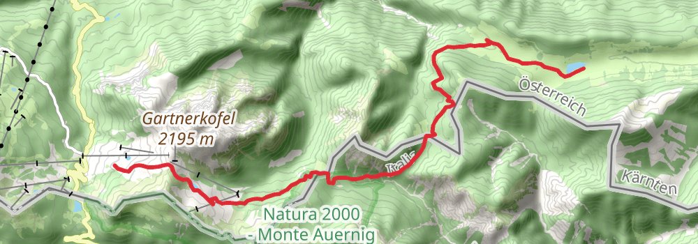
Starting at: Hermagor-Pressegger See, Bezirk Hermagor, 9620
Distance: 14.0 km
Elevation gain: 953 m
Duration: 04:23:04
stage 21
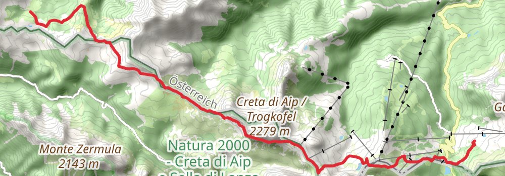
Starting at: Hermagor-Pressegger See, Bezirk Hermagor, 9631
Ending at: Käsestube, Kirchbach, Bezirk Hermagor, 9632
Distance: 17.5 km
Elevation gain: 1183 m
Duration: 05:27:57
stage 22
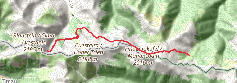
Starting at: Käsestube, Kirchbach, Bezirk Hermagor, 9632
Ending at: Kötschach-Mauthen, Bezirk Hermagor, 9640
Distance: 11.6 km
Elevation gain: 1063 m
Duration: 04:05:27
stage 23
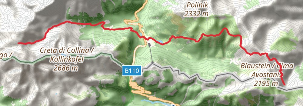
Starting at: Kötschach-Mauthen, Bezirk Hermagor, 9640
Distance: 18.0 km
Elevation gain: 2087 m
Duration: 07:05:06
stage 24
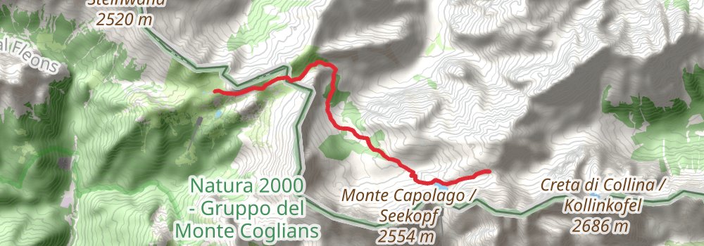
Starting at: Kurt Schütze, Lesachtal, Bezirk Hermagor
Distance: 8.2 km
Elevation gain: 618 m
Duration: 02:40:03
stage 25
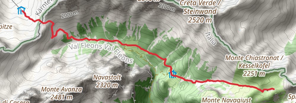
Distance: 7.7 km
Elevation gain: 649 m
Duration: 02:36:42
stage 26
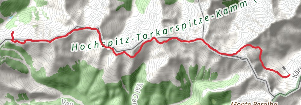
Starting at: Hochweißsteinhaus, Lesachtal, Bezirk Hermagor, 9654
Ending at: Porzehütte, Obertilliach, Bezirk Lienz, 9942
Distance: 17.3 km
Elevation gain: 1662 m
Duration: 06:13:22
stage 27
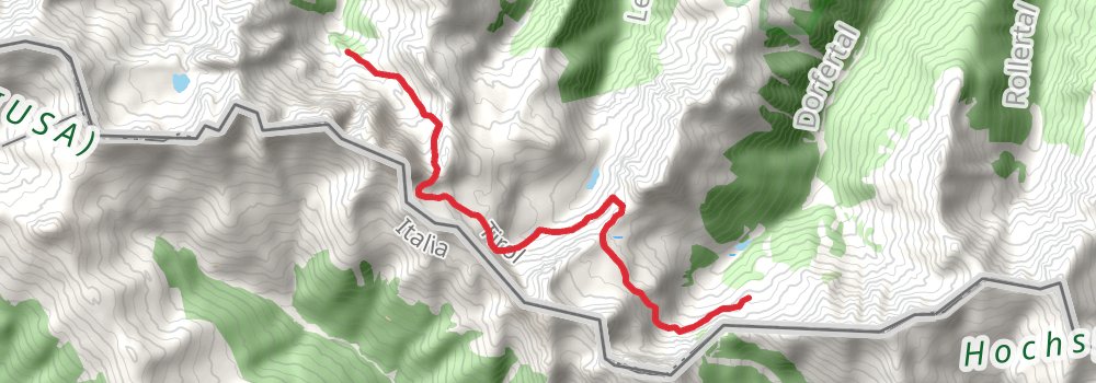
Starting at: Porzehütte, Obertilliach, Bezirk Lienz, 9942
Ending at: Tscharre, Kartitsch, Bezirk Lienz, 9941
Distance: 9.8 km
Elevation gain: 1066 m
Duration: 03:44:13
stage 28
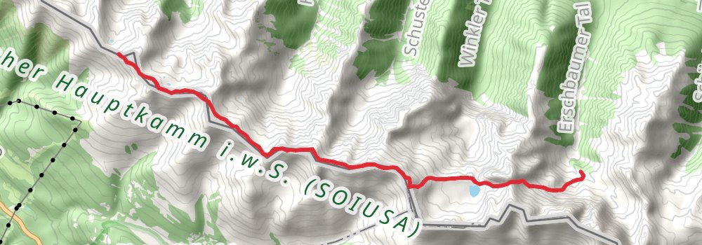
Starting at: Tscharre, Kartitsch, Bezirk Lienz, 9941
Ending at: Sillianer Hütte, Sillian, Bezirk Lienz, 9920
Distance: 11.6 km
Elevation gain: 1406 m
Duration: 04:39:12
stage 29
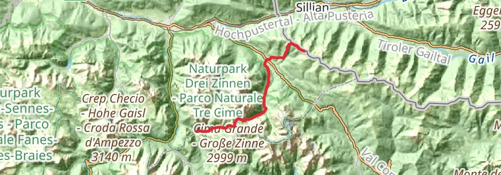
Starting at: Sillianer Hütte, Sillian, Bezirk Lienz, 9920
Distance: 23.9 km
Elevation gain: 1420 m
Duration: 07:08:29
stage 30
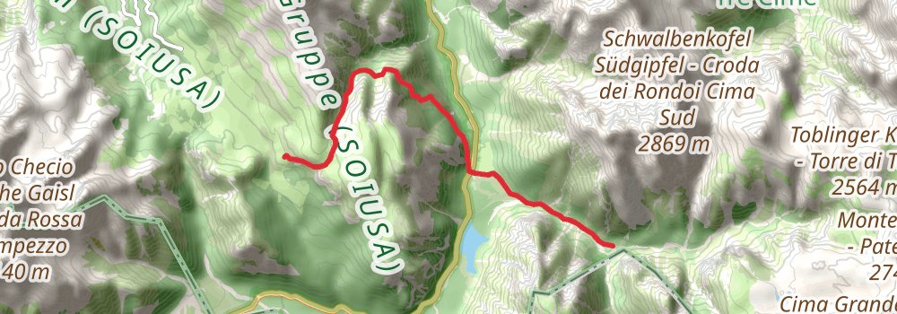
Distance: 8.6 km
Elevation gain: 1188 m
Duration: 03:42:04