Slí Cholmcille trail stages
stage 1
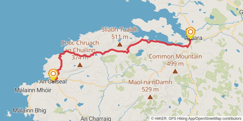
stage 2
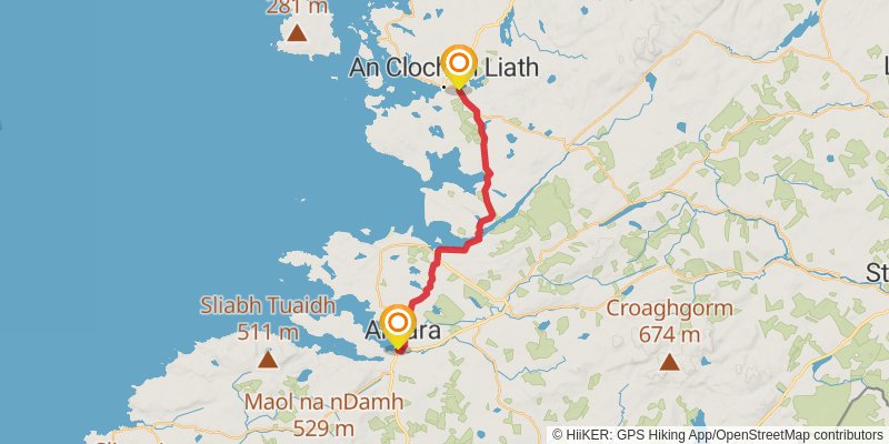
Starting at: County Donegal, F94 CX52
Ending at: Dunglow, County Donegal, F94 W974
Distance: 28.1 km
Elevation gain: 377 m
Duration: 06:14:24
stage 3
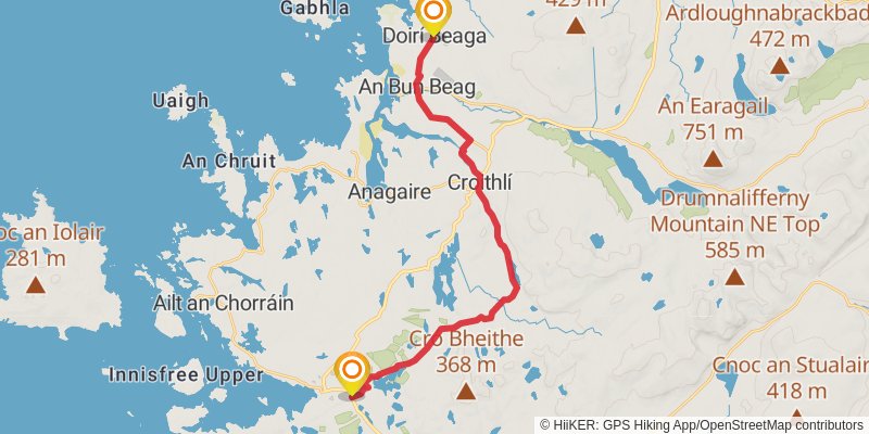
Starting at: County Donegal, F94 W974
Ending at: Magheraclogher, County Donegal, F92 CD71
Distance: 21.7 km
Elevation gain: 327 m
Duration: 04:52:33
stage 4
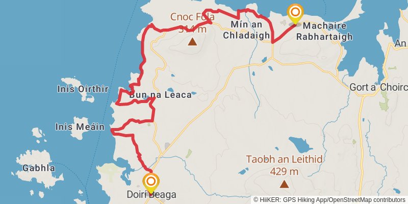
Starting at: County Donegal, F92 CD71
Ending at: Gortahork, County Donegal
Distance: 23.3 km
Elevation gain: 326 m
Duration: 05:11:42
stage 5
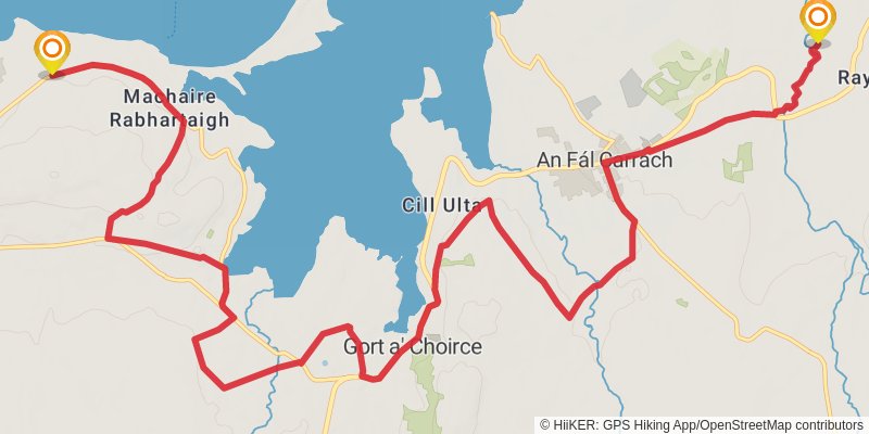
Starting at: Magheraroarty, County Donegal
Ending at: Ray Church, Cross Roads, County Donegal
Distance: 16.7 km
Elevation gain: 270 m
Duration: 03:47:29
spur 1
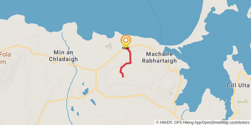
Starting at: Dixon's of Meenlaragh, Gortahork, County Donegal
Ending at: Gortahork, County Donegal
Distance: 2.7 km
Elevation gain: 92 m
Duration: 00:41:25
spur 2
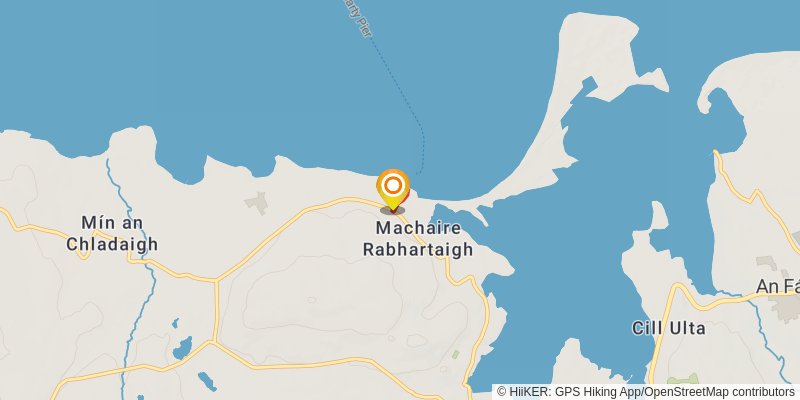
Starting at: Gortahork, County Donegal
Ending at: Gortahork, County Donegal
Distance: 630 m
Elevation gain: 28 m
Duration: 00:10:22
stage 6
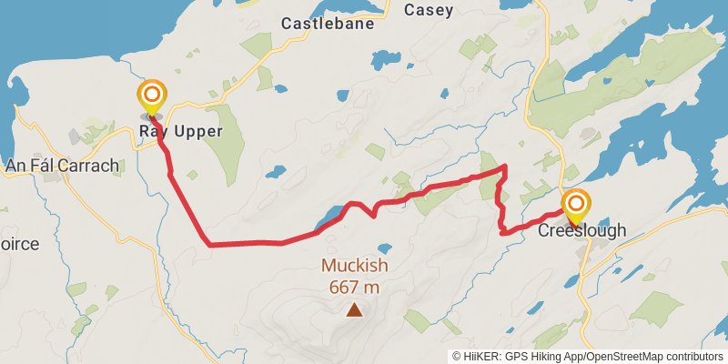
alt 1
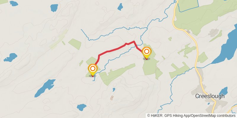
Starting at: Creenasmear, County Donegal
Ending at: Creeslough, County Donegal, F92 W803
Distance: 3.1 km
Elevation gain: 46 m
Duration: 00:42:11
spur 3
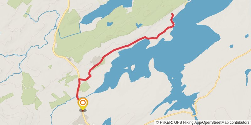
Starting at: Creeslough, County Donegal, F92 W803
Ending at: Creeslough, County Donegal, F92 W803
Distance: 11.4 km
Elevation gain: 196 m
Duration: 02:36:55
stage 7
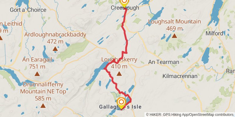
Starting at: County Donegal, F92 W803
Ending at: Church Hill ED, Letterkenny, County Donegal
Distance: 23.1 km
Elevation gain: 415 m
Duration: 05:19:11
stage 8
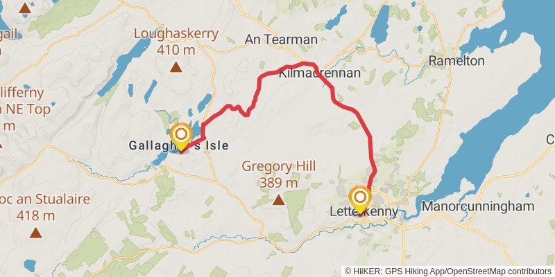
spur 4
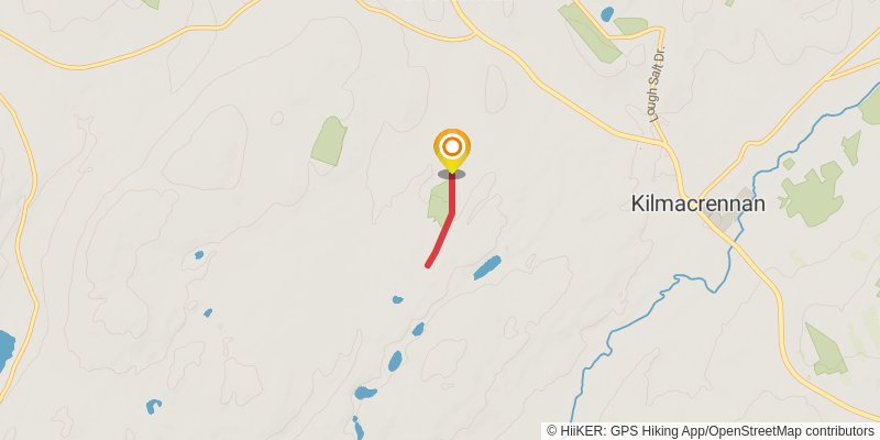
Starting at: Termon ED, Letterkenny, County Donegal
Ending at: Termon ED, Letterkenny, County Donegal
Distance: 1.9 km
Elevation gain: 31 m
Duration: 00:25:53
spur 5
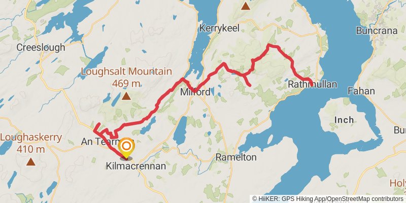
Starting at: Letterkenny, County Donegal
Ending at: Letterkenny, County Donegal
Distance: 67.4 km
Elevation gain: 1545 m
Duration: 16:03:07
stage 9
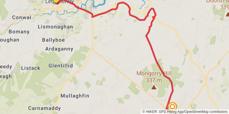
Starting at: County Donegal, F92 DP98
Ending at: Raphoe, County Donegal, F93 F98F
Distance: 19.4 km
Elevation gain: 297 m
Duration: 04:22:49
stage 10
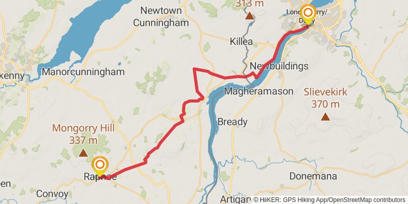
stage 11
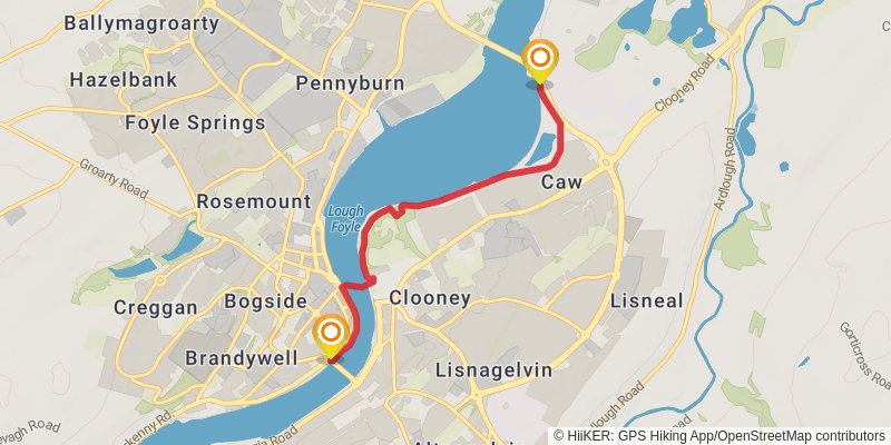
Starting at: Londonderry/Derry, County Londonderry, BT48 6EB
Distance: 4.8 km
Elevation gain: 42 m
Duration: 01:01:43
stage 12
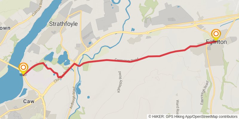
Starting at: Londonderry/Derry, County Londonderry, BT47 6TG
Ending at: Eglinton, County Londonderry, BT47 3PJ
Distance: 8.0 km
Elevation gain: 131 m
Duration: 01:49:32
spur 6
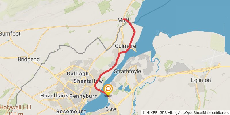
Distance: 16.4 km
Elevation gain: 185 m
Duration: 03:35:09
stage 13
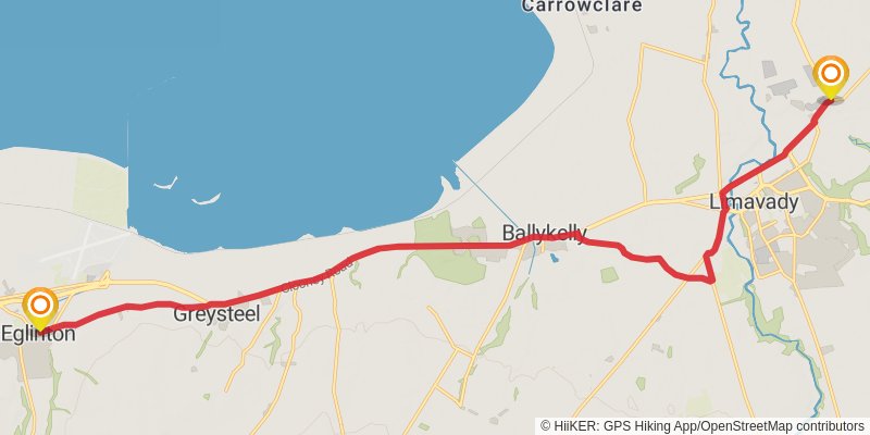
Starting at: Eglinton, County Londonderry, BT47 3YR
Distance: 19.3 km
Elevation gain: 207 m
Duration: 04:12:23
alt 2
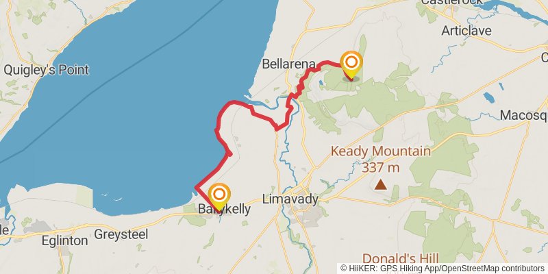
Starting at: Ballykelly, County Londonderry, BT49 9HR
Ending at: County Londonderry, BT49 0LG
Distance: 23.1 km
Elevation gain: 407 m
Duration: 05:17:17
stage 14
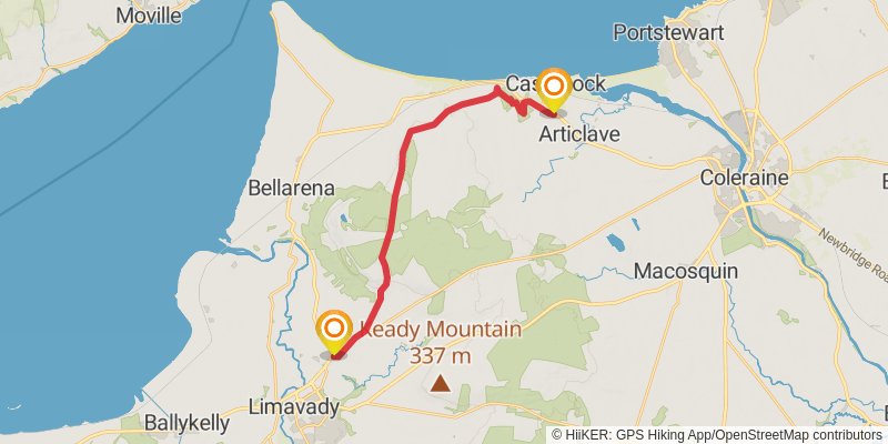
Starting at: County Londonderry, BT49 0RA
Distance: 17.4 km
Elevation gain: 378 m
Duration: 04:06:58
spur 7
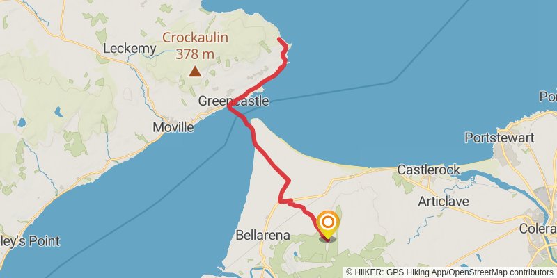
Starting at: County Londonderry, BT49 0JJ
Ending at: County Londonderry, BT49 0JJ
Distance: 37.5 km
Elevation gain: 534 m
Duration: 08:22:55
stage 15
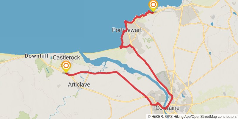
Starting at: Castlerock, County Londonderry, BT51 4XW
Distance: 20.8 km
Elevation gain: 219 m
Duration: 04:31:45
stage 16
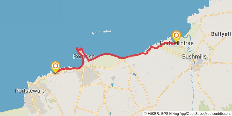
Starting at: County Londonderry, BT56 8LX
Distance: 13.7 km
Elevation gain: 260 m
Duration: 03:09:57
stage 17
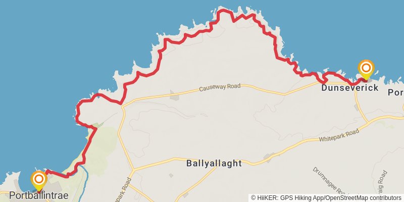
Starting at: Portballintrae, County Antrim, BT57 8AW
Ending at: Dunseverick, County Antrim, BT57 8SY
Distance: 13.3 km
Elevation gain: 658 m
Duration: 03:45:32
stage 18
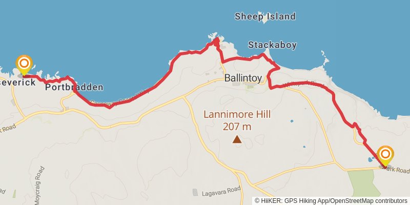
Starting at: Portbradden, County Antrim, BT57 8SY
Ending at: County Antrim, BT54 6LR
Distance: 11.6 km
Elevation gain: 335 m
Duration: 02:52:31
stage 19
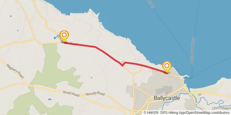
Starting at: County Antrim, BT54 6LR
Ending at: Ballycastle, County Antrim, BT54 6EN
Distance: 4.3 km
Elevation gain: 9 m
Duration: 00:52:34
stage 20
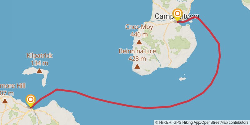
Starting at: County Antrim, BT54 6DB
Ending at: Old Quay, Argyll and Bute, PA28 6ED
Distance: 81.7 km
Elevation gain: 32 m
Duration: 16:23:34
spur 8
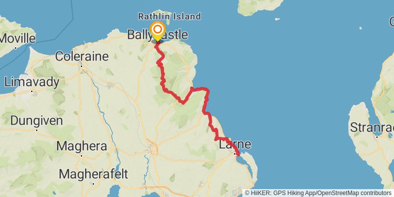
Starting at: Ballycastle, County Antrim, BT54 6DB
Ending at: Ballycastle, County Antrim, BT54 6DB
Distance: 175.2 km
Elevation gain: 4045 m
Duration: 41:46:22