Download
Preview
Add to list
More
16.9 km
~4 hrs 48 min
855 m
Point-to-Point
“Brent's Trail offers a 17-kilometer journey through diverse landscapes and rich history, ideal for moderate hikers.”
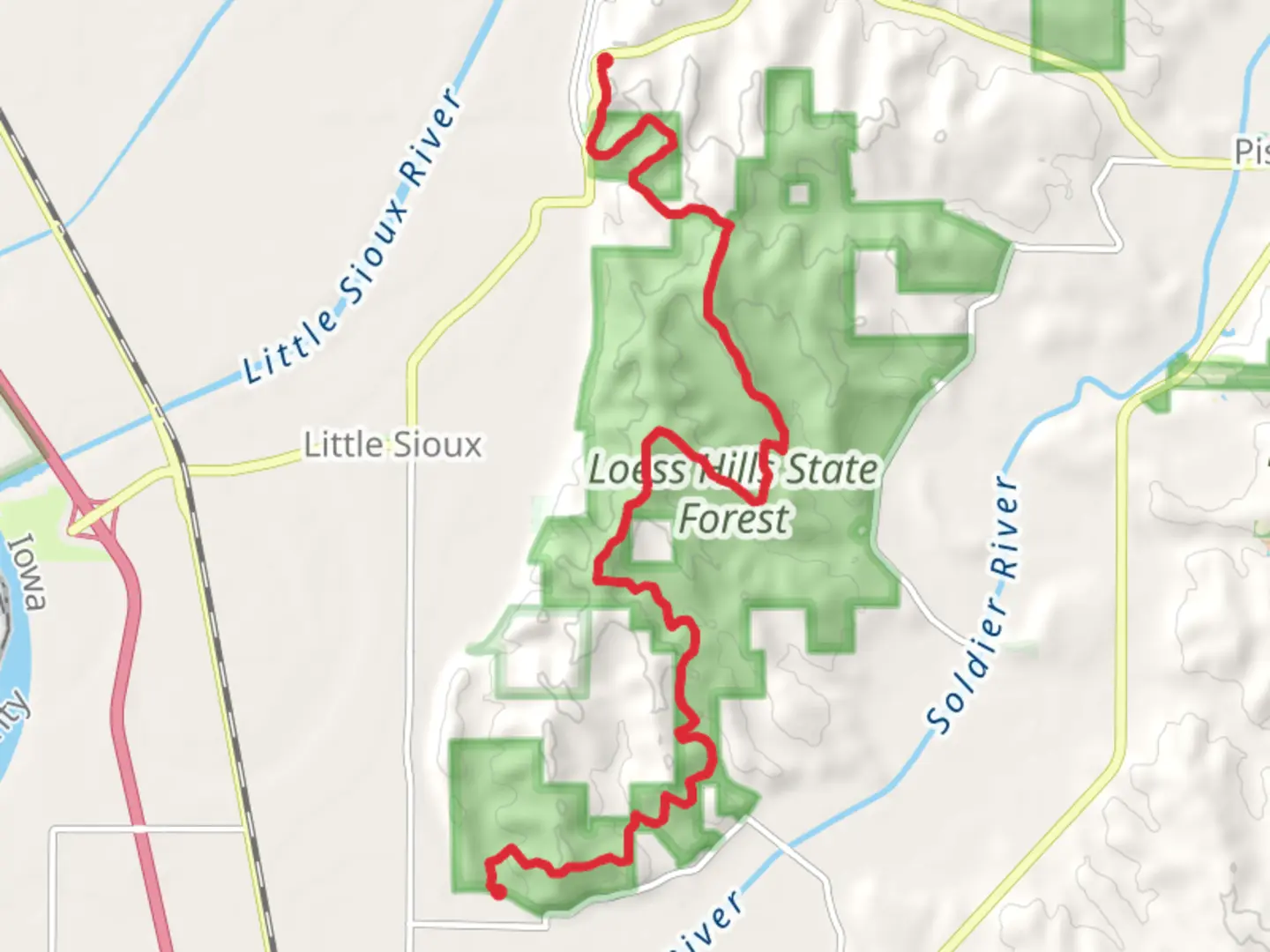
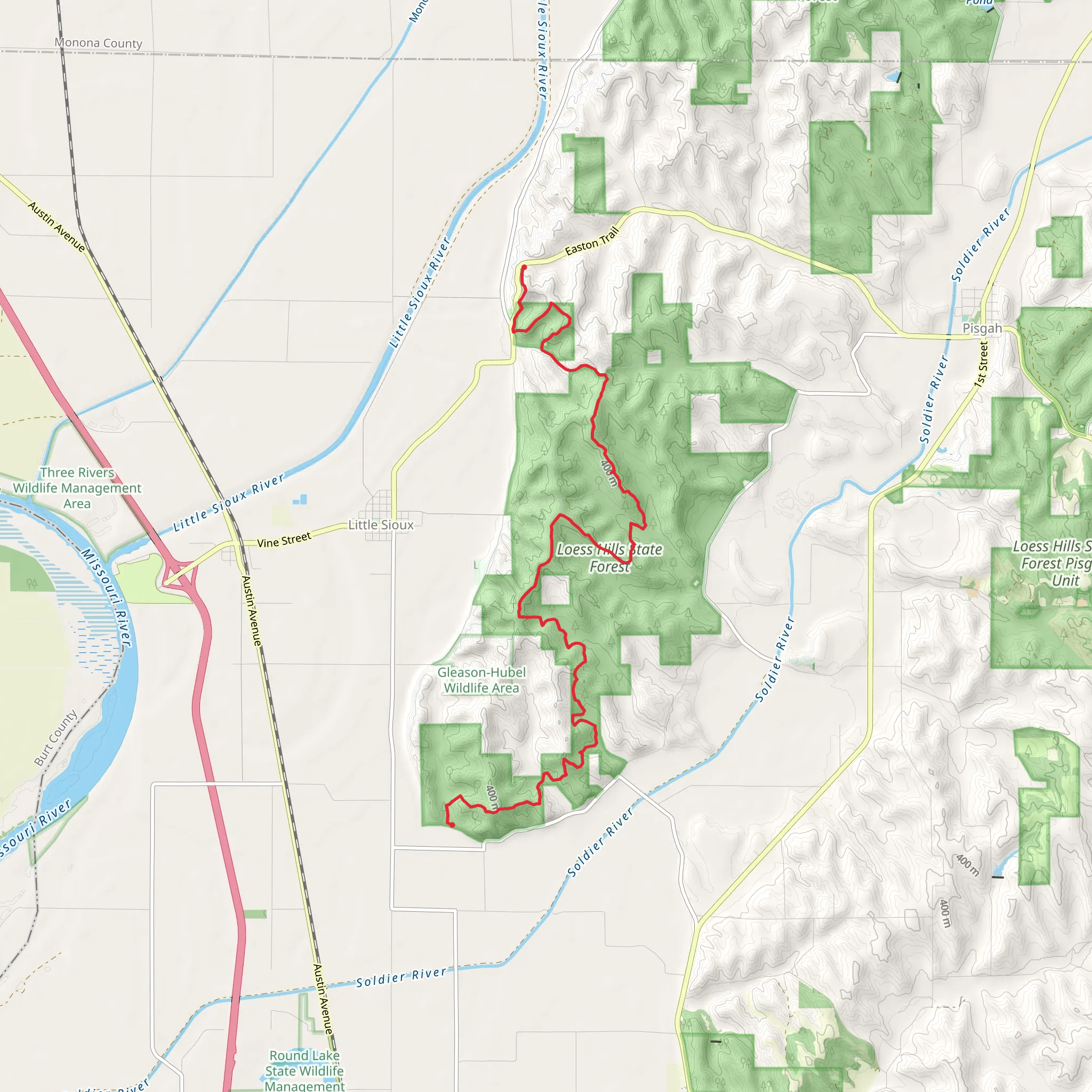
Starting near Harrison County, Iowa, Brent's Trail - 165th Trail spans approximately 17 kilometers (10.5 miles) with an elevation gain of around 800 meters (2,625 feet). This point-to-point trail is rated as medium difficulty, making it suitable for moderately experienced hikers.
Getting There To reach the trailhead, you can drive or use public transportation. If driving, head towards Harrison County, Iowa, and look for the nearest significant landmark, which is the Loess Hills State Forest. The trailhead is located near this area. For those using public transport, the closest major city is Omaha, Nebraska. From Omaha, you can take a bus or a train to Missouri Valley, Iowa, and then a local taxi or rideshare service to the trailhead.
Trail Overview The trail begins with a gentle ascent through dense woodlands, offering a serene start to your hike. As you progress, the terrain becomes more varied, featuring rolling hills and open meadows. The first significant landmark you'll encounter is the scenic overlook at approximately 5 kilometers (3.1 miles) in, which provides panoramic views of the Missouri River Valley.
Flora and Fauna The trail is rich in biodiversity. You'll pass through sections of oak-hickory forest, which are home to white-tailed deer, wild turkeys, and various bird species. Keep an eye out for the vibrant wildflowers that bloom in spring and early summer, adding a splash of color to the landscape.
Historical Significance This region has a rich history, particularly related to the Native American tribes who once inhabited the area. The Loess Hills, formed by wind-deposited loess soil, are unique geological formations that have been significant to various cultures over thousands of years. As you hike, you'll notice interpretive signs that provide insights into the historical and cultural importance of the area.
Navigation and Safety Given the trail's moderate difficulty, it's advisable to use a reliable navigation tool like HiiKER to stay on track. The trail is well-marked, but having a digital map can be invaluable, especially in areas where the path may be less distinct.
Elevation and Terrain The trail's elevation gain is gradual but consistent, with the most challenging section occurring around the 10-kilometer (6.2 miles) mark. Here, you'll encounter a steep ascent that rewards you with another breathtaking viewpoint. The final stretch of the trail descends gently into a lush valley, concluding near the town of Pisgah, Iowa.
Points of Interest - **Scenic Overlook (5 km / 3.1 miles):** Offers stunning views of the Missouri River Valley. - **Historical Markers:** Various points along the trail provide information about the Native American history and the unique geology of the Loess Hills. - **Wildlife Viewing Areas:** Particularly rich in birdlife and deer, these areas are ideal for nature enthusiasts.
Final Stretch As you near the end of the trail, the landscape transitions into more open fields and farmland, providing a peaceful and reflective end to your hike. The trail concludes near Pisgah, Iowa, where you can arrange for transportation back to your starting point or explore the local amenities.
This trail offers a balanced mix of natural beauty, moderate physical challenge, and historical intrigue, making it a rewarding experience for those who undertake it.
What to expect?
Activity types
Comments and Reviews
User comments, reviews and discussions about the Brent's Trail - 165th Trail, Iowa.
4.63
average rating out of 5
59 rating(s)
