Download
Preview
Add to list
More
10.6 km
~2 hrs 45 min
390 m
Loop
“The Indian Creek Loop is a captivating 11 km trail blending natural beauty, moderate challenge, and historical intrigue.”
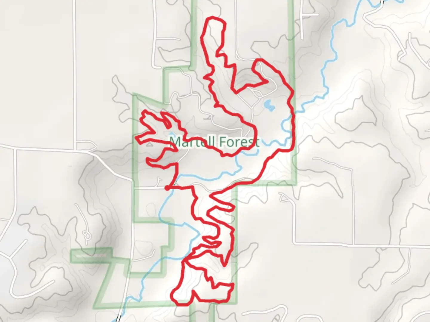
Starting near Tippecanoe County, Indiana, the Loop around Indian Creek - County Road 100 North is a captivating 11 km (approximately 6.8 miles) loop trail with an elevation gain of around 300 meters (984 feet). This medium-difficulty trail offers a diverse hiking experience, blending natural beauty with historical significance.
Getting There To reach the trailhead, head towards Tippecanoe County, Indiana. If you're driving, you can park near the intersection of County Road 100 North and County Road 500 West. For those using public transport, the nearest significant landmark is the Purdue University campus in West Lafayette. From there, you can take a local bus or taxi to the trailhead.
Trail Navigation For navigation, it's highly recommended to use HiiKER, which provides detailed maps and real-time updates. The trail is well-marked, but having a reliable navigation tool ensures you stay on track.
Trail Highlights As you embark on the loop, you'll first encounter a serene stretch along Indian Creek. The initial 2 km (1.2 miles) are relatively flat, making for a gentle start. Keep an eye out for various bird species that frequent the area, including red-tailed hawks and great blue herons.
Elevation Gain and Terrain Around the 3 km (1.9 miles) mark, the trail begins to ascend. This section offers a moderate challenge with a steady climb, gaining approximately 150 meters (492 feet) in elevation over the next 2 km (1.2 miles). The terrain here is a mix of packed dirt and rocky outcrops, so sturdy hiking boots are recommended.
Historical Significance Midway through the hike, you'll come across remnants of old stone structures. These are believed to be from early 19th-century settlers who first inhabited the region. Take a moment to appreciate the history and imagine the lives of those who once called this area home.
Scenic Overlooks At around 6 km (3.7 miles), you'll reach one of the trail's highest points, offering panoramic views of the surrounding forest and farmlands. This is an excellent spot for a break and some photography. The elevation gain here totals about 250 meters (820 feet) from the start.
Flora and Fauna Descending from the high point, the trail meanders through dense woodlands. Depending on the season, you might see wildflowers such as trilliums and jack-in-the-pulpits. Deer and raccoons are common sightings, so keep your camera ready.
Final Stretch The last 3 km (1.9 miles) of the trail are a gentle descent back towards the trailhead. This section is shaded and follows the creek closely, providing a cool and refreshing end to your hike. The total elevation gain for the entire loop is around 300 meters (984 feet), making it a rewarding yet manageable hike.
Practical Tips - Bring plenty of water, especially during the warmer months. - Wear layers, as the weather can change rapidly. - Use HiiKER for navigation to ensure you stay on the correct path. - Be mindful of local wildlife and practice Leave No Trace principles.
This trail offers a perfect blend of natural beauty, moderate physical challenge, and historical intrigue, making it a must-visit for any hiking enthusiast.
What to expect?
Activity types
Comments and Reviews
User comments, reviews and discussions about the Loop around Indian Creek - County Road 100 North, Indiana.
4.53
average rating out of 5
40 rating(s)
