Download
Preview
Add to list
More
28.9 km
~1 day 1 hrs
129 m
Out and Back
“The MCT Confluence Trail offers scenic woodlands, wetlands, and historic landmarks for moderately experienced hikers.”
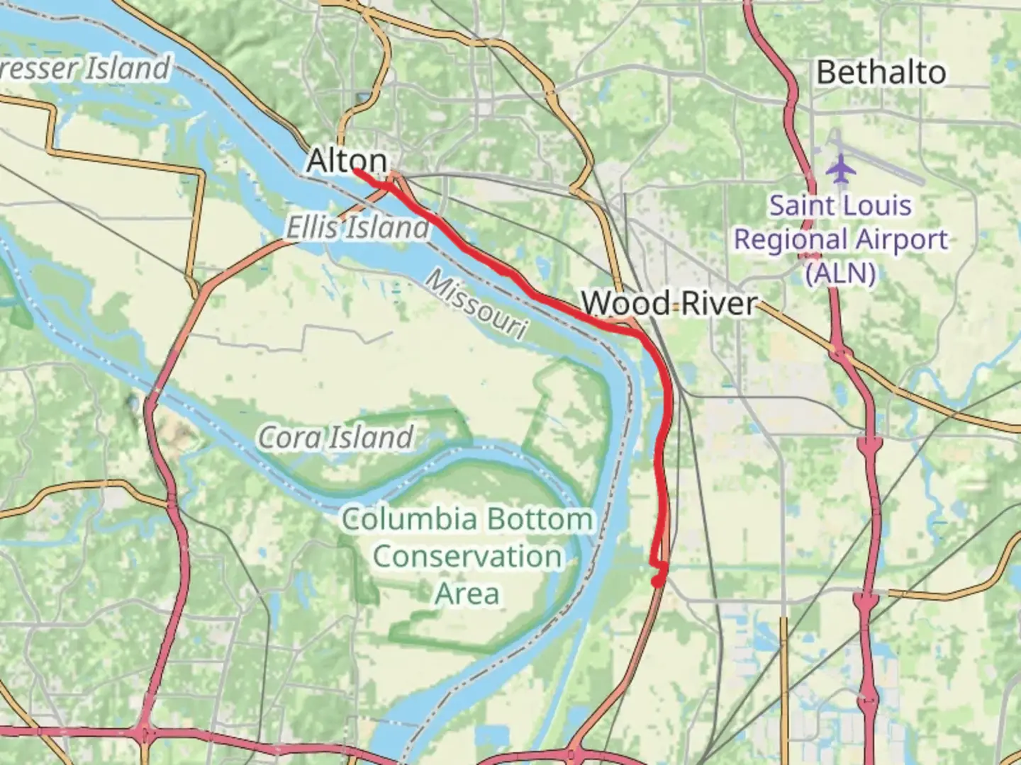
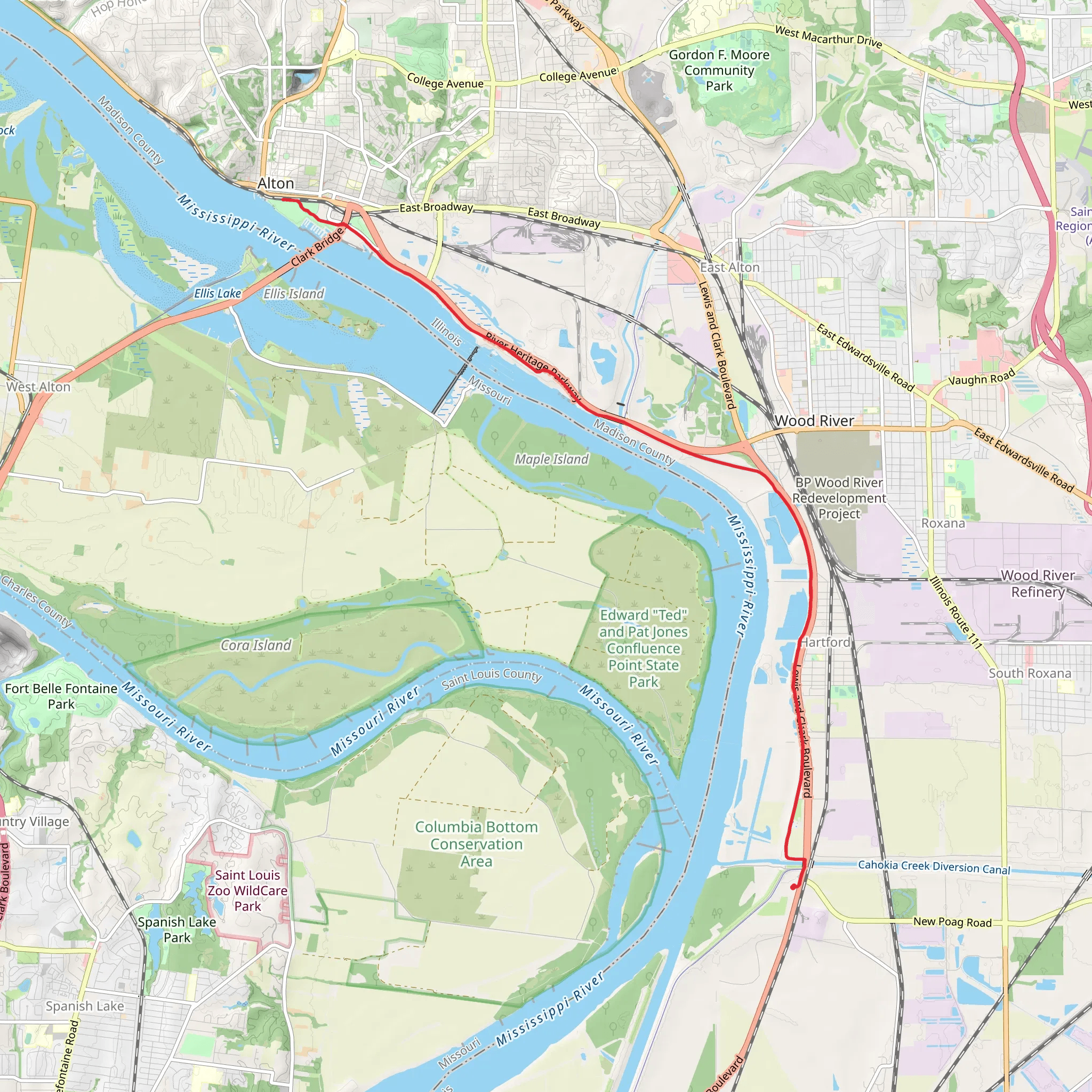
Starting near Madison County, Illinois, the MCT Confluence Trail stretches approximately 29 kilometers (18 miles) with an elevation gain of around 100 meters (328 feet). This out-and-back trail is estimated to be of medium difficulty, making it suitable for moderately experienced hikers.### Getting There To reach the trailhead, you can drive or use public transportation. If driving, head towards the nearest significant landmark, the Lewis and Clark State Historic Site, located at 1 Lewis and Clark Trail, Hartford, IL 62048. From there, it's a short drive to the trailhead. For those using public transport, the nearest major city is St. Louis, Missouri. From St. Louis, you can take a bus or a combination of bus and taxi services to reach the trailhead.### Trail Overview The MCT Confluence Trail offers a diverse hiking experience, weaving through a variety of landscapes including woodlands, wetlands, and open fields. The trail is well-marked, but it's always a good idea to have a reliable navigation tool like HiiKER to ensure you stay on track.### Key Landmarks and Points of Interest - Lewis and Clark State Historic Site (0 km / 0 miles): The trailhead is near this historic site, which commemorates the starting point of the Lewis and Clark Expedition. It's worth spending some time here to learn about the historical significance of the area. - Mississippi River (5 km / 3.1 miles): As you progress, you'll come close to the Mississippi River. The views here are stunning, especially during sunrise or sunset. Keep an eye out for various bird species that frequent the riverbanks. - Woodlands and Wetlands (10 km / 6.2 miles): The trail meanders through dense woodlands and wetlands, offering a chance to see local flora and fauna. Look out for deer, raccoons, and a variety of bird species. - Confluence Point (14.5 km / 9 miles): The halfway point of the trail is where the Mississippi and Missouri Rivers meet. This is a significant geographical landmark and offers a great spot for a break and some photos.### Wildlife and Nature The trail is rich in biodiversity. Depending on the season, you might encounter wildflowers, migratory birds, and small mammals. The wetlands are particularly vibrant in spring and early summer, with a variety of aquatic plants and animals.### Historical Significance The region is steeped in history, primarily due to its connection with the Lewis and Clark Expedition. The trail itself follows part of the route taken by these early explorers, adding a layer of historical intrigue to your hike.### Trail Conditions and Safety The trail is generally well-maintained, but can become muddy and slippery after rain, especially in the wetland areas. Wear sturdy hiking boots and consider bringing trekking poles for added stability. Always carry enough water and snacks, as there are limited facilities along the trail.### Navigation and Wayfinding While the trail is well-marked, using a navigation tool like HiiKER can help you stay on course and provide real-time updates on your progress. This is particularly useful in the more remote sections of the trail where signage might be sparse.### Final Tips - Weather: Check the weather forecast before you go. The trail can be quite exposed in some sections, so sun protection is essential. - Permits: No permits are required for this trail, but it's always good to check for any local advisories or restrictions. - Leave No Trace: Ensure you pack out all your trash and respect the natural environment.This trail offers a blend of natural beauty and historical significance, making it a rewarding hike for those prepared to take on its moderate challenges.
What to expect?
Activity types
Comments and Reviews
User comments, reviews and discussions about the MCT confluence Trail, Illinois.
4.53
average rating out of 5
40 rating(s)
