Download
Preview
Add to list
More
16.6 km
~3 hrs 29 min
107 m
Loop
“Explore a scenic 17-kilometer loop trail with diverse landscapes, historical landmarks, and moderate hiking challenges.”
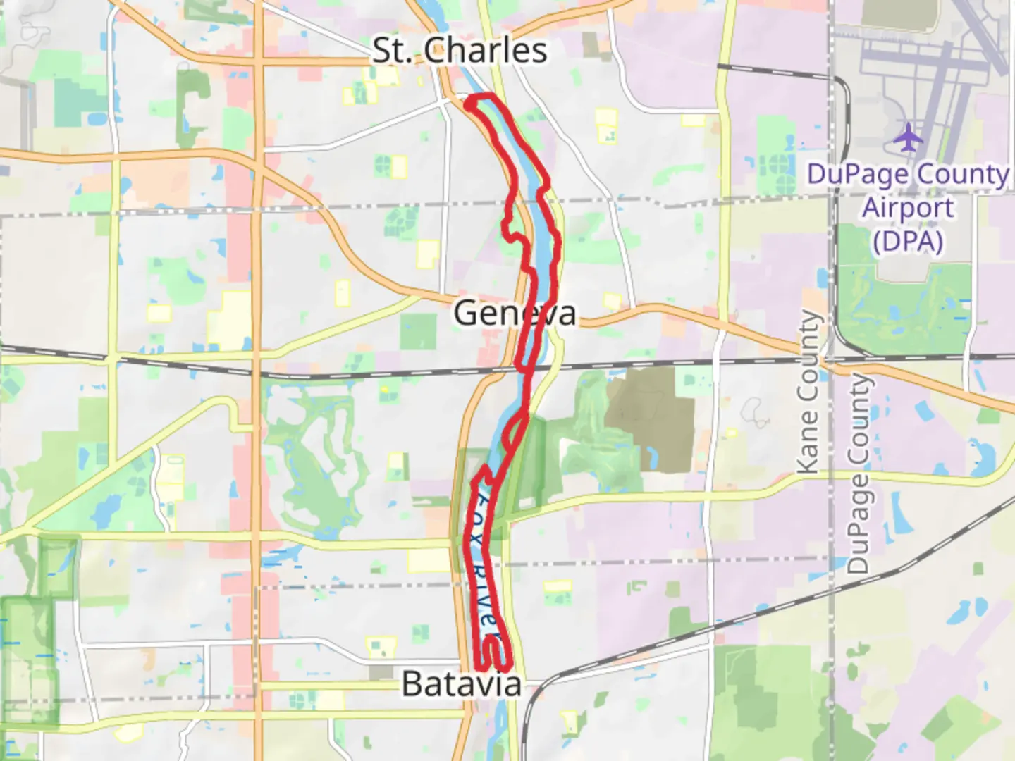
Starting near Kane County, Illinois, this loop trail spans approximately 17 kilometers (10.5 miles) with an elevation gain of around 100 meters (328 feet). The trail is rated as medium difficulty, making it suitable for moderately experienced hikers.
Getting There To reach the trailhead, you can drive or use public transportation. If driving, set your GPS to Mount Saint Mary Park, located at 100 Prairie Street, St. Charles, IL 60174. For those using public transport, the nearest major transit hub is the Geneva Metra Station. From there, you can take a local bus or a short taxi ride to the park.
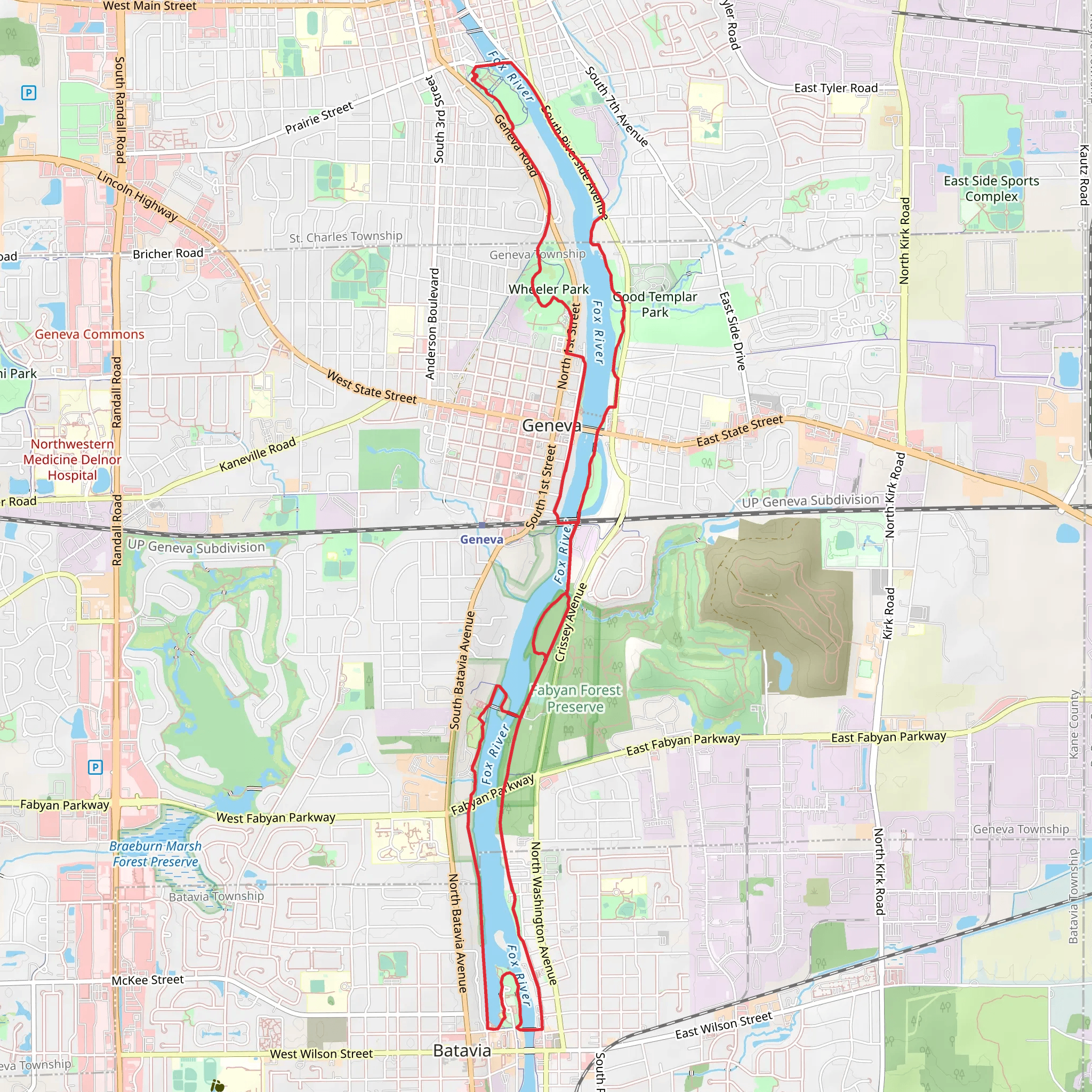
Trail Overview The trail begins at Mount Saint Mary Park, a scenic area known for its well-maintained paths and beautiful sculptures. As you start your hike, you'll be greeted by lush greenery and the gentle sounds of the Fox River. The first section of the trail is relatively flat, making it an easy warm-up for the more varied terrain ahead.
Significant Landmarks and Nature Around the 3-kilometer (1.9-mile) mark, you'll reach Wheeler Park. This park is a great spot to take a short break, featuring amenities like restrooms, picnic areas, and a playground. Wheeler Park is also home to a variety of bird species, so keep your binoculars handy if you're a bird-watching enthusiast.
Continuing on, the trail meanders through a mix of wooded areas and open spaces, offering a diverse range of flora and fauna. At approximately 8 kilometers (5 miles) in, you'll encounter the Batavia Riverwalk. This section is particularly picturesque, with well-paved paths running alongside the Fox River. The Riverwalk is also rich in historical significance, featuring plaques and markers that detail the area's history, including its role in the early industrial era of Illinois.
Elevation and Terrain The trail's elevation gain is gradual, with the most significant climbs occurring between the 10-kilometer (6.2-mile) and 12-kilometer (7.5-mile) marks. These sections offer panoramic views of the surrounding landscape, making the effort well worth it. The terrain varies from paved paths to dirt trails, so wearing sturdy hiking shoes is advisable.
Wildlife and Flora Throughout the hike, you'll have the opportunity to see a variety of wildlife, including deer, rabbits, and numerous bird species. The flora is equally diverse, ranging from towering oak trees to vibrant wildflowers, depending on the season.
Navigation For navigation, it's highly recommended to use the HiiKER app, which provides detailed maps and real-time updates. This will help you stay on track and ensure you don't miss any of the trail's highlights.
Final Stretch As you loop back towards Mount Saint Mary Park, the final few kilometers offer a gentle descent, allowing you to cool down and reflect on the journey. The trail concludes back at the park, where you can relax and enjoy the serene environment.
This trail offers a balanced mix of natural beauty, historical landmarks, and moderate physical challenge, making it a rewarding experience for any hiker.
What to expect?
Activity types
Comments and Reviews
User comments, reviews and discussions about the Mount Saint Mary Park, Wheeler Park and Batavia Riverwalk, Illinois.
4.7
average rating out of 5
40 rating(s)
