Download
Preview
Add to list
More
5.4 km
~1 hrs 30 min
248 m
Loop
“Embark on the scenic Warren's Ridge and Charlie's Peak Loop, a medium-difficulty, history-rich 5 km hike!”
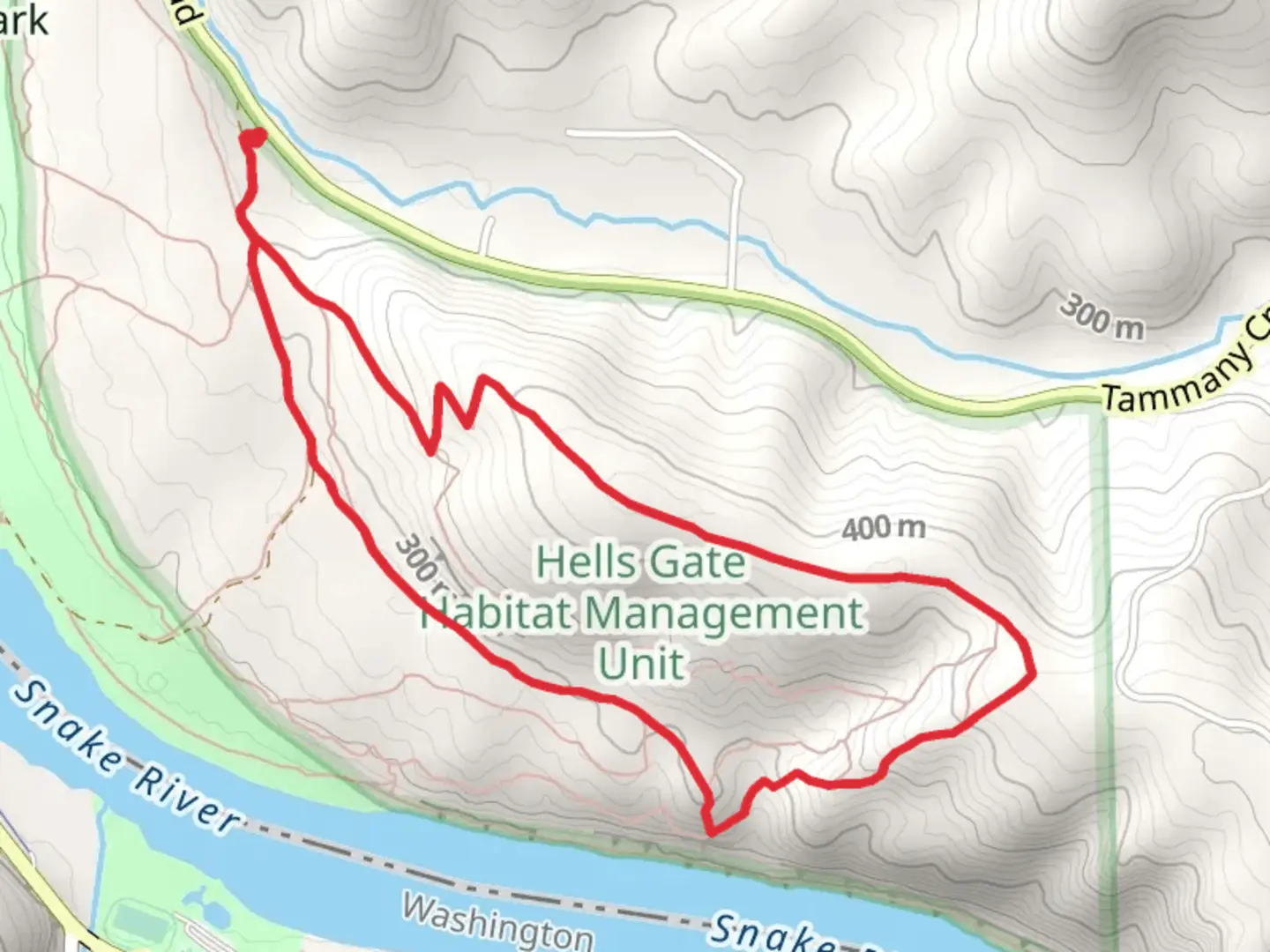
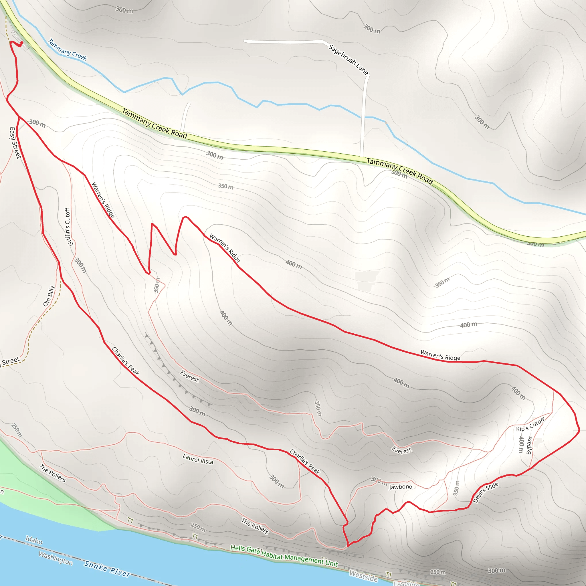
Starting your adventure near Nez Perce County, Idaho, the Warren's Ridge and Charlie's Peak Loop offers a captivating 5 km (approximately 3.1 miles) journey with an elevation gain of around 200 meters (656 feet). This loop trail is rated as medium difficulty, making it suitable for moderately experienced hikers.### Getting There To reach the trailhead, you can drive or use public transportation. If driving, head towards the nearest significant landmark, the Nez Perce National Historical Park Visitor Center. From there, follow the signs leading to the trailhead. For those using public transport, the nearest bus stop is at the Visitor Center, which is serviced by local routes. From the Visitor Center, it's a short walk to the trailhead.### Trail Overview The trail begins with a gentle ascent through a mixed forest of pine and fir, providing ample shade and a cool environment, especially during the summer months. As you progress, the trail becomes steeper, leading you up to Warren's Ridge. This section covers approximately 2 km (1.2 miles) and gains about 100 meters (328 feet) in elevation.### Warren's Ridge Upon reaching Warren's Ridge, you'll be rewarded with panoramic views of the surrounding valleys and distant mountain ranges. This is an excellent spot for a short break and some photography. The ridge is named after Warren, a local pioneer who played a significant role in the early settlement of the area. Keep an eye out for interpretive signs that provide more historical context.### Charlie's Peak Continuing from Warren's Ridge, the trail descends slightly before climbing again towards Charlie's Peak. This section is about 1.5 km (0.9 miles) and involves another 100 meters (328 feet) of elevation gain. The peak offers stunning 360-degree views and is a great place to spot local wildlife, including deer, elk, and various bird species. The peak is named after Charlie, a Nez Perce leader known for his efforts in preserving the tribe's culture and history.### Flora and Fauna Throughout the hike, you'll encounter a diverse range of flora and fauna. The forested areas are home to Douglas fir, Ponderosa pine, and various wildflowers, especially vibrant in the spring and early summer. Wildlife sightings are common, so keep your camera ready but maintain a respectful distance.### Navigation For navigation, it's highly recommended to use the HiiKER app, which provides detailed maps and real-time updates. The trail is well-marked, but having a reliable navigation tool can enhance your hiking experience and ensure you stay on the right path.### Return Loop The return loop takes you through a more open landscape, offering different perspectives of the region's natural beauty. This section is relatively easier, with a gradual descent back to the trailhead. The entire loop takes around 2-3 hours to complete, depending on your pace and the number of stops you make.### Historical Significance The region holds significant historical importance, particularly related to the Nez Perce tribe. The trail passes through areas that were once part of their traditional hunting and gathering grounds. Interpretive signs along the way provide insights into the tribe's history and their enduring connection to the land.Prepare adequately with water, snacks, and appropriate gear, and enjoy the diverse landscapes and rich history that the Warren's Ridge and Charlie's Peak Loop has to offer.
What to expect?
Activity types
Comments and Reviews
User comments, reviews and discussions about the Warren's Ridge and Charlie's Peak Loop, Idaho.
4.5
average rating out of 5
60 rating(s)
