Download
Preview
Add to list
More
6.3 km
~1 hrs 47 min
320 m
Loop
“Discover the Muisloch and Hossinger Leiter Loop: a 6 km trail of scenic beauty and historical intrigue.”
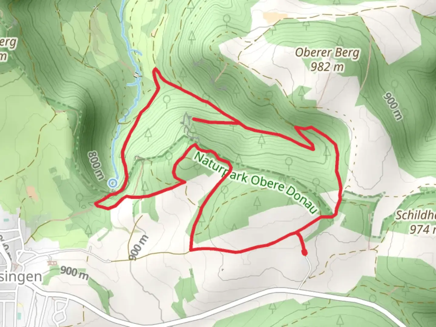
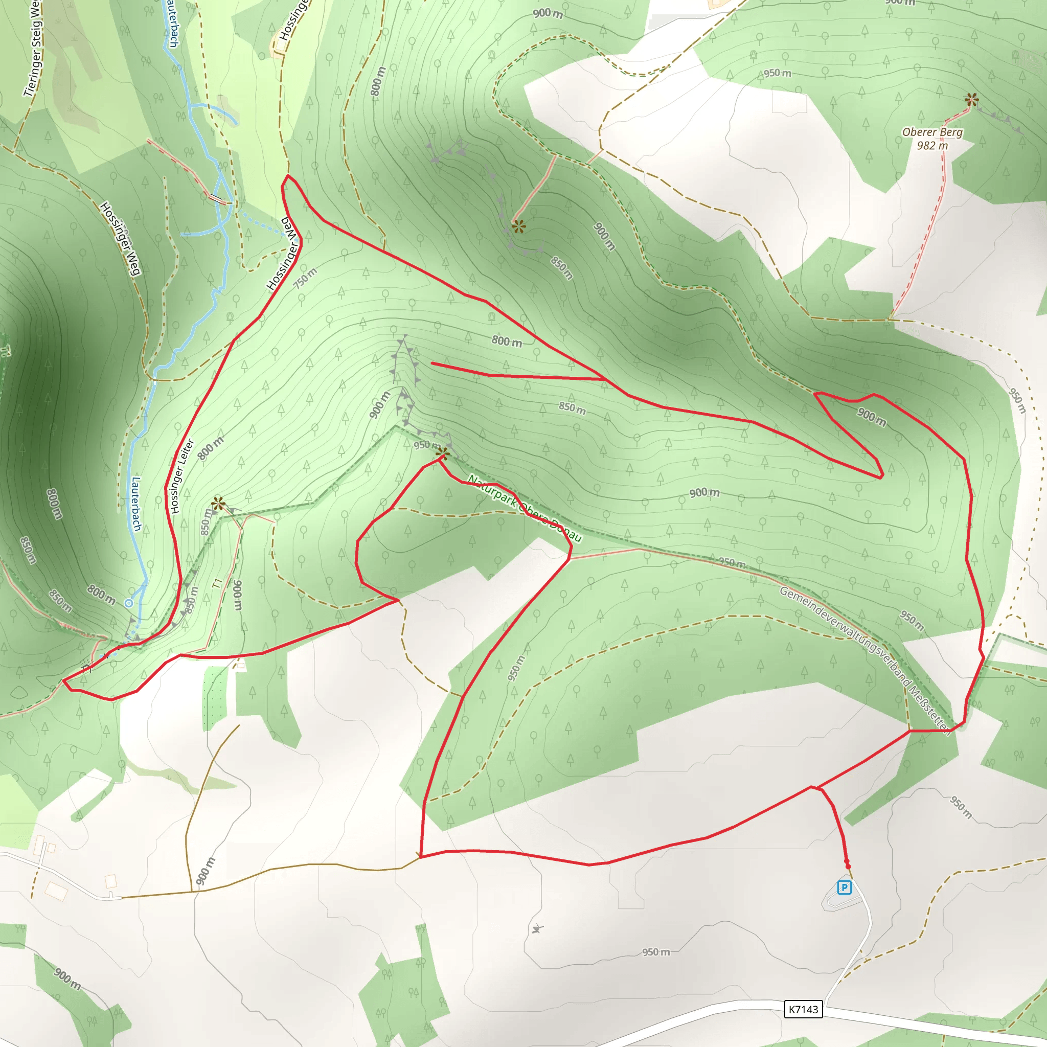
Starting your adventure near Zollernalbkreis, Germany, the Muisloch and Hossinger Leiter Loop is a captivating 6 km (approximately 3.7 miles) loop trail with an elevation gain of around 300 meters (about 984 feet). This trail is rated as medium difficulty, making it suitable for moderately experienced hikers.
Getting There To reach the trailhead, you can drive or use public transport. If driving, set your GPS to the nearest significant landmark, which is the town of Albstadt. From Albstadt, follow local signage to the trailhead. For those using public transport, take a train to Albstadt-Ebingen station. From there, local buses or a short taxi ride will get you to the starting point.
Trail Overview The trail begins with a gentle ascent through lush forests, offering a serene start to your hike. As you progress, the path becomes steeper, leading you to the first significant landmark, the Muisloch cave. This natural cave is a fascinating geological feature, and it's worth taking a moment to explore its cool, dark interior.
Muisloch Cave Located approximately 2 km (1.2 miles) into the hike, the Muisloch cave is a natural limestone formation. Historically, it has been a shelter for humans dating back to prehistoric times. The cave's entrance is easily accessible, and the interior is spacious enough for a brief exploration.
Hossinger Leiter Continuing on, the trail ascends more steeply towards the Hossinger Leiter, a historic wooden ladder that has been replaced with a safer, modern staircase. This section is about 4 km (2.5 miles) into the hike and offers a challenging but rewarding climb. The Hossinger Leiter was historically used by locals to access the higher pastures and forests.
Scenic Views and Wildlife As you reach the top, you'll be rewarded with panoramic views of the Swabian Alps. The elevation gain of 300 meters (984 feet) provides a vantage point to see the rolling hills and dense forests below. Keep an eye out for local wildlife, including deer, foxes, and a variety of bird species. The area is also rich in flora, with wildflowers blooming in the spring and summer months.
Navigation and Safety For navigation, it's highly recommended to use the HiiKER app, which provides detailed maps and real-time updates. The trail is well-marked, but having a reliable navigation tool ensures you stay on track. Wear sturdy hiking boots, as some sections can be rocky and uneven. Bring sufficient water and snacks, especially during warmer months.
Return Loop The descent takes you through a different path, looping back towards the starting point. This section is less steep but equally scenic, passing through meadows and small streams. The entire loop takes around 2-3 hours to complete, depending on your pace and the time spent at various landmarks.
This trail offers a perfect blend of natural beauty, historical significance, and moderate physical challenge, making it a must-visit for hikers in the region.
What to expect?
Activity types
Comments and Reviews
User comments, reviews and discussions about the Muisloch and Hossinger Leiter Loop, Germany.
4.33
average rating out of 5
6 rating(s)
