Download
Preview
Add to list
More
312.0 km
~17 days
8624 m
Multi-Day
“Embark on the Rheinsteig to explore Germany's heart through historic sites and diverse landscapes on this epic trek.”
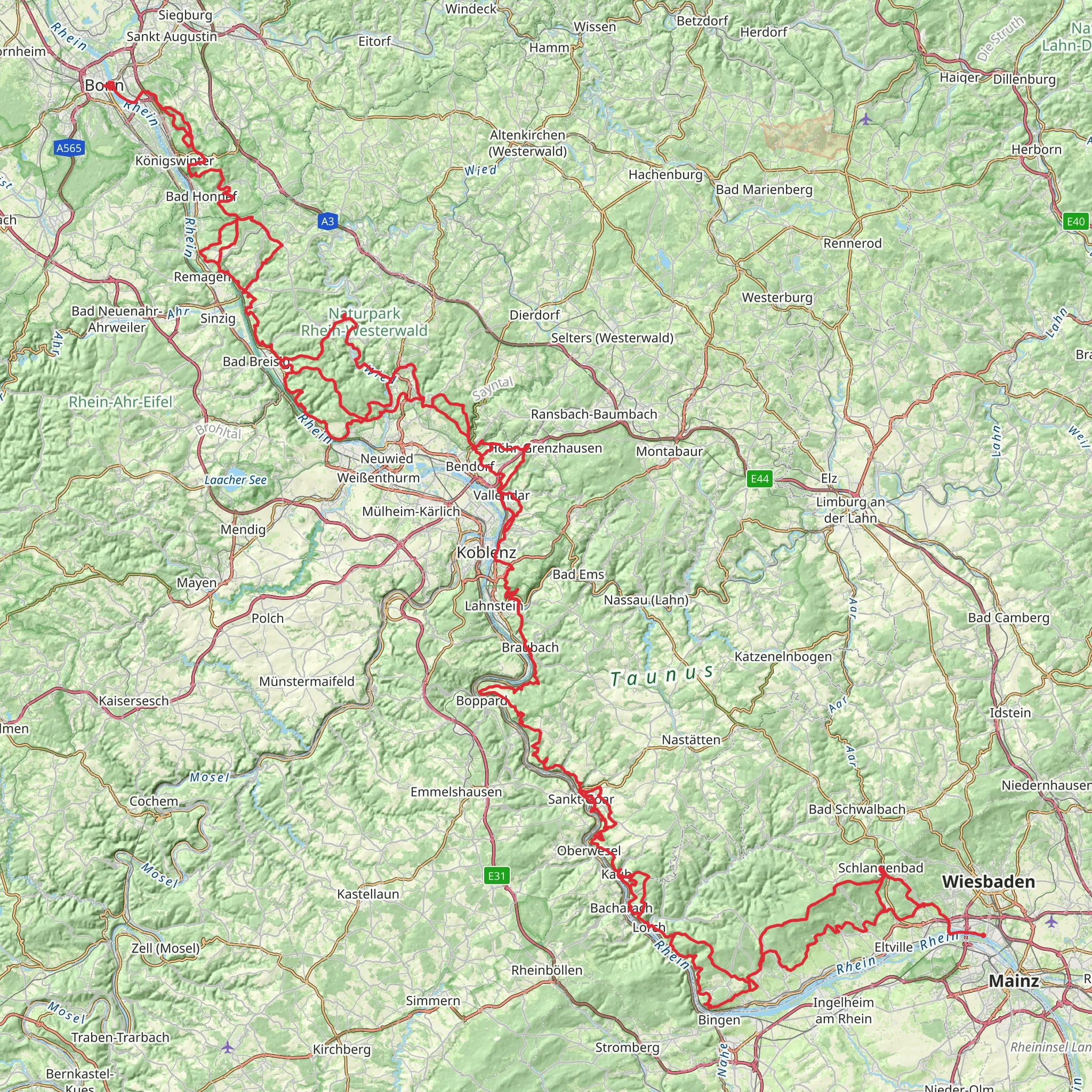
Embarking on the Rheinsteig trail, hikers will traverse approximately 312 kilometers (about 194 miles) of varied terrain, ascending a total of around 8600 meters (approximately 28,215 feet) in elevation. This point-to-point trail begins near the town of Wiesbaden, Germany, and is considered to have a medium difficulty rating, making it accessible to hikers with a reasonable level of fitness.
Getting to the Trailhead
The starting point of the Rheinsteig is conveniently accessible by public transport. Hikers can take a train to Wiesbaden Hauptbahnhof, the main train station, and from there, local buses can drop you close to the trailhead. For those driving, parking is available in areas near the trail's beginning, which is situated close to the Biebrich Palace, a significant landmark by the Rhine River.
Navigating the Trail
As you set out on the Rheinsteig, HiiKER can be an invaluable tool for navigation, offering detailed maps and waypoints to ensure you stay on the correct path. The trail is well-marked with signs featuring the Rheinsteig logo, a blue "R" on a white background.
Landmarks and Scenery
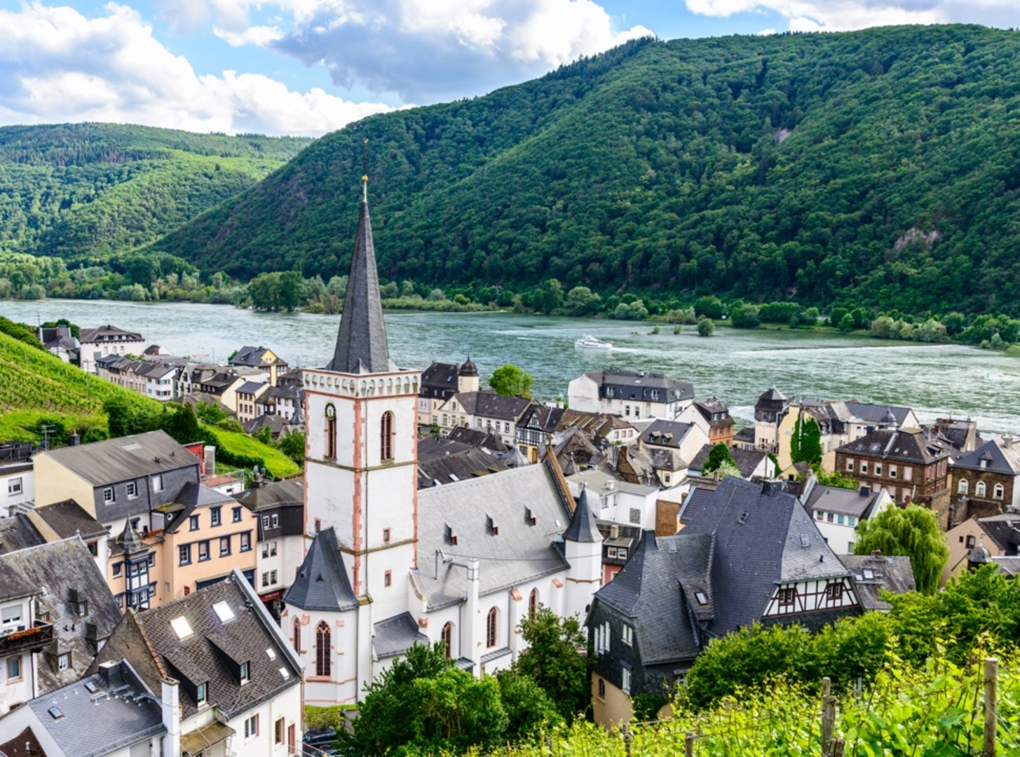
The Rheinsteig offers a rich tapestry of cultural and natural landmarks. Hikers will encounter numerous castles, palaces, and monasteries, such as the Marksburg Castle and the Kloster Eberbach, an ancient Cistercian abbey. The trail also boasts stunning views of the Rhine Valley, with its steep vineyards and picturesque villages.
Wildlife and Nature
The path winds through diverse landscapes, including dense forests, open meadows, and rocky outcrops. The region is home to a variety of wildlife, including deer, foxes, and a wide array of bird species. The flora along the trail is equally diverse, with hikers passing through areas of rare orchids and other wildflowers, particularly in the spring and summer months.
Historical Significance
The Rhine region is steeped in history, and the Rheinsteig allows hikers to immerse themselves in it. The trail passes through the Upper Middle Rhine Valley, a UNESCO World Heritage Site, known for its historical towns and the Loreley Rock, a famous slate cliff associated with legends and folklore.
Preparation and Planning
Given the trail's length and elevation gain, hikers should plan for multiple days of trekking, with accommodations ranging from campgrounds to guesthouses available along the route. It's advisable to carry a reliable water supply, snacks, and weather-appropriate clothing, as conditions can change rapidly.
Conclusion
The Rheinsteig is a journey through the heart of German history, culture, and natural beauty. With careful planning and a spirit of adventure, hikers will find this trail to be a rewarding experience, offering both a physical challenge and a deep connection to the landscape and its past.
Comments and Reviews
User comments, reviews and discussions about the Rheinsteig, Germany.
4.67
average rating out of 5
3 rating(s)

