Download
Preview
Add to list
More
11.4 km
~2 hrs 47 min
304 m
Point-to-Point
“This 11 km trail near Wetteraukreis offers moderate terrain, historical ruins, and stunning panoramic views.”
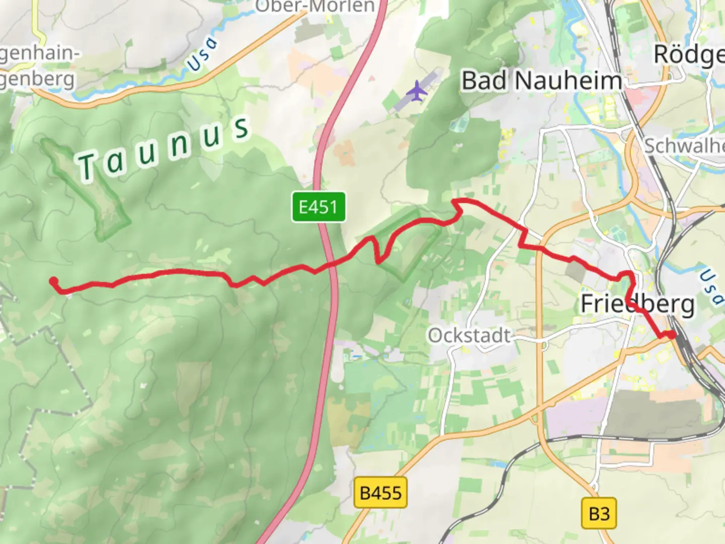
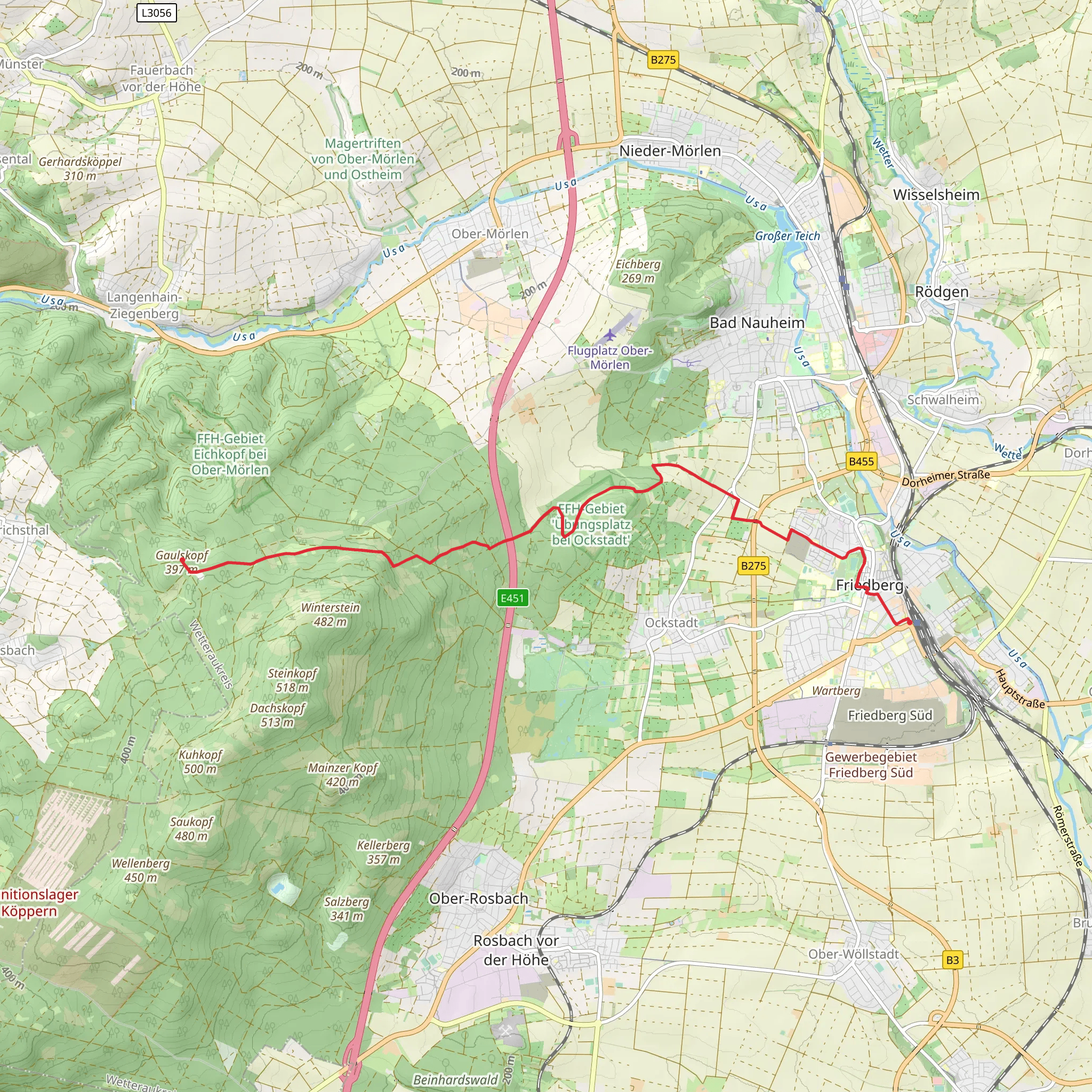
Starting near Wetteraukreis, Germany, this 11 km (approximately 6.8 miles) point-to-point trail offers a moderate challenge with an elevation gain of around 300 meters (984 feet). The trailhead is conveniently accessible by public transport or car. If you're using public transport, you can take a train to Friedberg station, which is well-connected to major cities like Frankfurt. From Friedberg, local buses or a short taxi ride will get you to the starting point. For those driving, parking is available near the trailhead.
Initial Ascent and Forested Pathways
As you begin your hike, you'll notice a gradual ascent through lush, forested pathways. The initial 2 km (1.2 miles) are relatively gentle, allowing you to acclimate to the terrain. The forest here is predominantly composed of beech and oak trees, providing ample shade and a serene atmosphere. Keep an eye out for local wildlife such as deer and various bird species, which are commonly spotted in this area.
Historical Significance and Landmarks
Around the 4 km (2.5 miles) mark, you'll come across the remnants of ancient Roman fortifications. This region of Germany is rich in history, and these ruins are a testament to the Roman Empire's influence in the area. Take a moment to explore and imagine the historical significance of these structures.
Midway Point and Scenic Views
As you reach the midway point, the trail begins to ascend more steeply. This section, covering approximately 3 km (1.9 miles), will take you through a series of switchbacks. The effort is well worth it, as you'll be rewarded with panoramic views of the Wetterau region. On clear days, you can see as far as the Frankfurt skyline. This is an excellent spot for a short break and some photography.
Navigating the Trail
For navigation, it's highly recommended to use the HiiKER app, which provides detailed maps and real-time updates. The trail is well-marked, but having a reliable navigation tool will enhance your hiking experience and ensure you stay on the right path.
Final Stretch to Gaulskopf
The last 2 km (1.2 miles) of the trail are relatively flat, making for a pleasant end to your hike. As you approach Gaulskopf, you'll pass through open meadows and small patches of woodland. This area is known for its wildflowers, especially in the spring and early summer months. The trail concludes near the Gaulskopf summit, where you can enjoy a final, sweeping view of the surrounding landscape.
Wildlife and Flora
Throughout the hike, you'll encounter a diverse range of flora and fauna. The Taunus region is home to various species of wildflowers, ferns, and mosses. Birdwatchers will appreciate the variety of avian life, including woodpeckers, hawks, and songbirds. Small mammals like foxes and badgers are also native to this area, though they are more elusive.
Getting Back
Upon reaching Gaulskopf, you can either arrange for a pickup or use public transport to return to your starting point. Local buses run regularly, and the nearest bus stop is a short walk from the trail's end. If you prefer to extend your adventure, there are several connecting trails that lead to other notable destinations in the Taunus region.
Comments and Reviews
User comments, reviews and discussions about the Friedberg to Gaulskopf via Taunusklub Route, Germany.
4.0
average rating out of 5
1 rating(s)
