19.0 km
~4 hrs 19 min
318 m
Download
Preview
Add to list
More
“Explore lush landscapes, quaint villages, and rich history on the scenic Fuchskaute to Wurgendorf hike.”
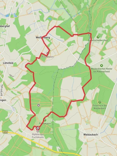
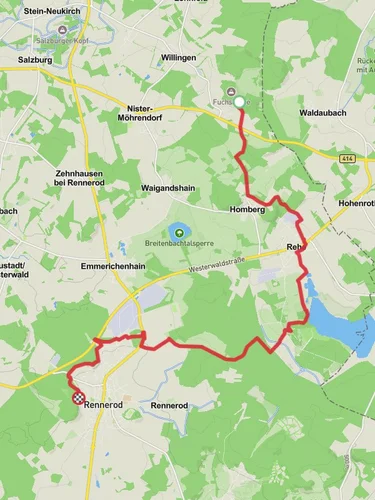
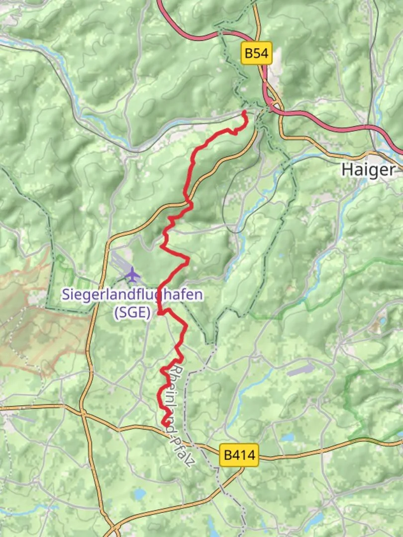
Nestled in the scenic Westerwald region of Germany, the Fuchskaute to Wurgendorf Walk offers a delightful journey through lush landscapes and charming villages. This point-to-point trail stretches approximately 19 kilometers (about 11.8 miles) with an elevation gain of around 300 meters (approximately 984 feet), making it a moderately challenging hike suitable for those with some hiking experience.
Getting There
The trailhead is conveniently located near Westerwaldkreis, Germany. If you're traveling by car, you can reach the starting point by heading towards the Fuchskaute, the highest peak in the Westerwald, which is easily accessible via local roads. For those relying on public transport, the nearest significant town is Bad Marienberg, which is well-connected by train and bus services. From Bad Marienberg, local buses or a short taxi ride can take you to the trailhead.
Trail Highlights
Fuchskaute Peak
Starting at Fuchskaute, hikers are greeted with panoramic views of the surrounding Westerwald landscape. This peak, standing at 657 meters (2,156 feet), is the highest point in the region and offers a perfect vantage point to appreciate the rolling hills and dense forests that characterize the area.
Forests and Meadows
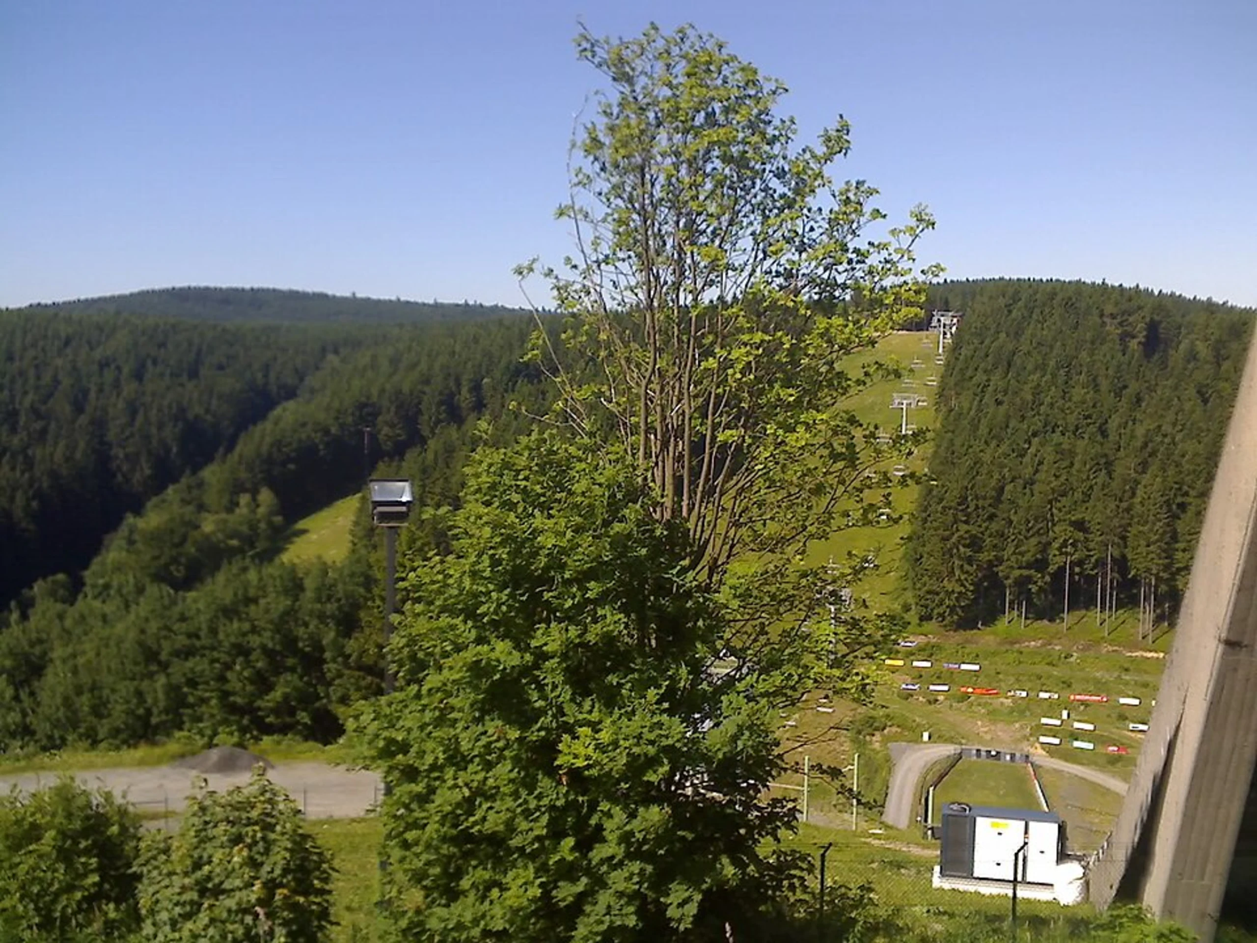
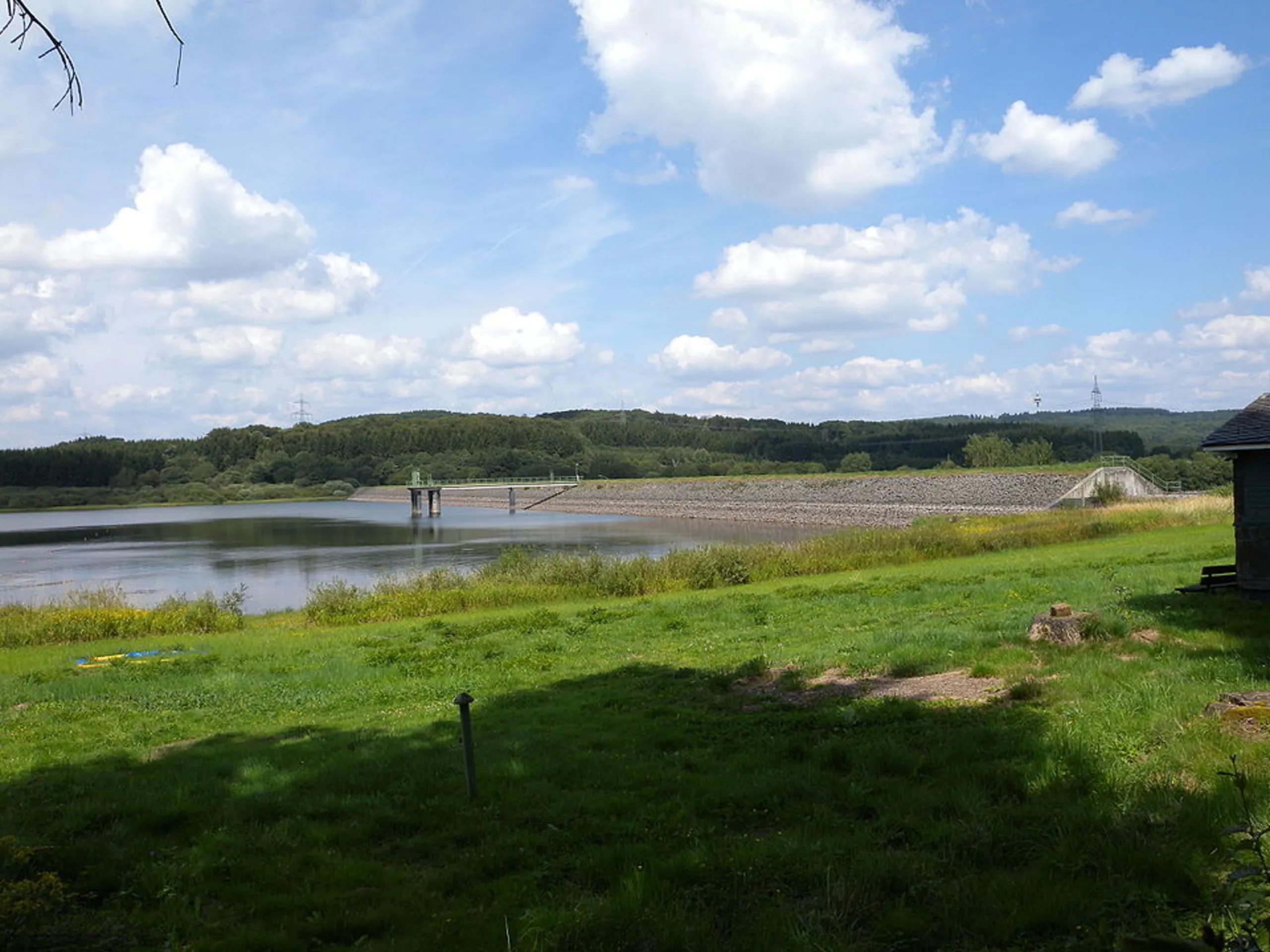
As you descend from Fuchskaute, the trail meanders through a mix of dense forests and open meadows. The Westerwald is known for its rich biodiversity, and hikers can expect to encounter a variety of flora and fauna. Keep an eye out for deer, foxes, and a diverse array of bird species that inhabit these woods.
Historical Villages
The trail passes through several quaint villages, each with its own unique charm and history. These settlements offer a glimpse into the traditional architecture and way of life in the Westerwald. Be sure to explore the local churches and half-timbered houses that dot the landscape.
Cultural Significance
The Westerwald region has a rich cultural heritage, with a history that dates back to the Celtic and Roman times. As you hike, you'll be walking through areas that have been inhabited for centuries, adding a layer of historical intrigue to your journey.
Navigation and Safety
The trail is well-marked, but it's always wise to have a reliable navigation tool. HiiKER is an excellent resource for detailed maps and real-time trail updates. Given the moderate difficulty of the trail, ensure you have sturdy hiking boots and are prepared for varying weather conditions, as the weather in the Westerwald can be unpredictable.
Wildlife and Nature
The trail offers ample opportunities to connect with nature. The Westerwald's diverse ecosystem supports a wide range of wildlife. Birdwatchers will particularly enjoy the chance to spot species such as the European robin, black woodpecker, and various raptors. The forests are also home to a variety of plant species, including beech, oak, and spruce trees, which provide a vibrant backdrop throughout the seasons.
Final Stretch to Wurgendorf
As you approach the end of the trail near Wurgendorf, the landscape gradually transitions to more open fields and agricultural land. This area is known for its picturesque rural scenery, providing a peaceful conclusion to your hike. Wurgendorf itself is a small village with a welcoming atmosphere, where you can relax and reflect on your journey through the beautiful Westerwald.

Reviews
User comments, reviews and discussions about the Fuchskaute to Wurgendorf Walk, Germany.
0.0
average rating out of 5
0 rating(s)