Download
Preview
Add to list
More
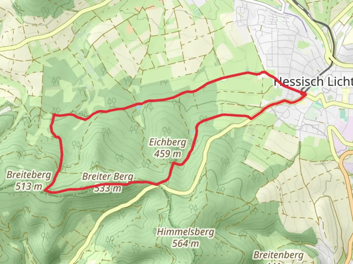
9.2 km
~2 hrs 9 min
194 m
Loop
“Explore the scenic, historical Franzosenstrasse trail with diverse landscapes and moderate challenges in Werra-Meißner-Kreis.”
Starting near the picturesque region of Werra-Meißner-Kreis in Germany, the Franzosenstrasse and Guensteroder Rundweg G1 is a delightful loop trail that spans approximately 9 km (5.6 miles) with an elevation gain of around 100 meters (328 feet). This trail is rated as medium difficulty, making it suitable for moderately experienced hikers.
Getting There
To reach the trailhead, you can drive or use public transport. If you're driving, set your GPS to the nearest known address: Werra-Meißner-Kreis, Germany. For those using public transport, the closest significant landmark is the town of Eschwege. From Eschwege, you can take a local bus or taxi to the trailhead.
Trail Overview
The trail begins near the charming village of Guensterode, a small settlement that offers a glimpse into traditional German rural life. As you start your hike, you'll be greeted by a mix of forested paths and open meadows, providing a diverse range of scenery.
Historical Significance
One of the most intriguing aspects of this trail is its historical significance. The name "Franzosenstrasse" translates to "French Road," a nod to the Napoleonic troops who once marched through this region. As you hike, you'll come across several historical markers and plaques that provide insights into the area's past.
Key Landmarks and Points of Interest
Guensterode Village: Approximately 1 km (0.6 miles) into the hike, you'll pass through Guensterode. Take a moment to appreciate the traditional half-timbered houses and the serene village atmosphere.
Forest Sections: Around the 3 km (1.9 miles) mark, you'll enter a dense forest area. The canopy provides ample shade, making this section particularly enjoyable during warmer months. Keep an eye out for local wildlife such as deer and various bird species.
Open Meadows: At about 5 km (3.1 miles), the trail opens up into expansive meadows. These areas are perfect for a short break and offer stunning views of the surrounding countryside. During spring and summer, the meadows are adorned with wildflowers, adding a splash of color to your hike.
Historical Markers: Scattered throughout the trail, these markers provide fascinating insights into the region's history. One notable marker is located around the 7 km (4.3 miles) point, detailing the movements of Napoleonic troops through the area.
Navigation and Safety
For navigation, it's highly recommended to use the HiiKER app, which provides detailed maps and real-time updates. The trail is well-marked, but having a reliable navigation tool ensures you stay on track.
Flora and Fauna
The trail is rich in biodiversity. In the forested sections, you'll find a variety of tree species including oak, beech, and pine. The meadows are home to numerous wildflowers and grasses. Wildlife is abundant, with frequent sightings of deer, foxes, and a variety of bird species.
Final Stretch
As you approach the final 2 km (1.2 miles) of the trail, you'll descend gently back towards the starting point. This section offers panoramic views of the surrounding hills and valleys, providing a perfect end to your hike.
This trail offers a balanced mix of natural beauty, historical intrigue, and moderate physical challenge, making it a rewarding experience for any hiker.

Comments and Reviews
User comments, reviews and discussions about the Franzosenstrasse and Guensteroder Rundweg G1, Germany.
4.0
average rating out of 5
1 rating(s)