Download
Preview
Add to list
More
8.0 km
~1 hrs 50 min
147 m
Loop
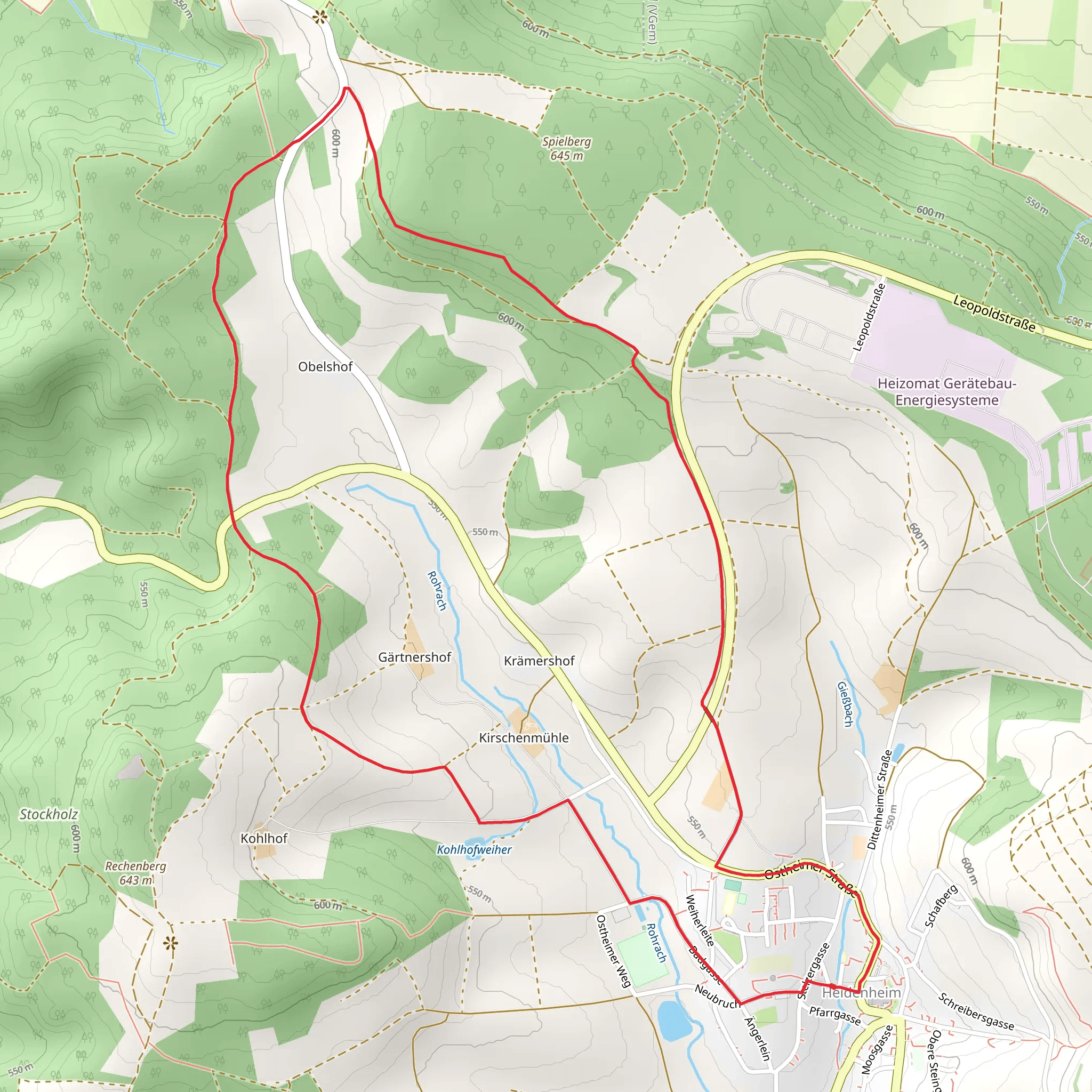
“This 8 km loop trail near Weißenburg-Gunzenhausen, Germany, combines lush landscapes with rich historical landmarks.”
Starting near the picturesque town of Weißenburg-Gunzenhausen in Germany, this 8 km (5 miles) loop trail offers a delightful mix of natural beauty and historical intrigue. With an elevation gain of approximately 100 meters (328 feet), the trail is rated as medium difficulty, making it accessible for most hikers with a moderate level of fitness.
Getting There To reach the trailhead, you can either drive or use public transport. If driving, set your GPS to Weißenburg-Gunzenhausen, and look for parking near the town center. For those using public transport, take a train to Weißenburg station, which is well-connected to major cities like Nuremberg and Munich. From the station, it's a short walk to the trailhead.
Trail Highlights As you embark on the trail, you'll immediately notice the lush greenery and well-maintained paths. The trail is well-marked, but it's always a good idea to have a navigation tool like HiiKER to ensure you stay on course.
#### Natural Beauty The trail meanders through dense forests and open meadows, offering a variety of landscapes. In spring and summer, the meadows are adorned with wildflowers, while the forest sections provide a cool respite from the sun. Keep an eye out for local wildlife, including deer, foxes, and a variety of bird species. The trail also features several small streams and springs, adding to its scenic charm.
#### Historical Significance One of the most intriguing aspects of this trail is its historical significance. The region around Weißenburg-Gunzenhausen has a rich history dating back to Roman times. As you hike, you'll come across several historical landmarks. Approximately 3 km (1.8 miles) into the hike, you'll find the remains of a Roman fort, a testament to the area's ancient past. Informational plaques provide context and details about the fort's history and significance.
Points of Interest - **Roman Fort**: Located about 3 km (1.8 miles) into the trail, this site offers a fascinating glimpse into the region's Roman history. - **Natural Springs**: Scattered along the trail, these springs are not only beautiful but also historically significant, as they were vital water sources for ancient settlements. - **Panoramic Viewpoints**: Around the 5 km (3.1 miles) mark, the trail ascends to a viewpoint offering panoramic views of the surrounding countryside. This is an excellent spot for a rest and some photography.
Trail Conditions and Safety The trail is generally well-maintained, but it's advisable to wear sturdy hiking boots, especially after rain, as some sections can become muddy. The elevation gain is moderate, with a few steep sections that may require careful footing. Always carry enough water and snacks, and consider bringing a small first-aid kit.
Navigation While the trail is well-marked, using a navigation tool like HiiKER can enhance your hiking experience by providing real-time updates and ensuring you stay on the correct path. The app can also alert you to any upcoming points of interest or potential hazards.
Wildlife and Flora The trail is a haven for nature enthusiasts. In addition to the common wildlife like deer and foxes, you might spot rarer species such as the European badger or various types of woodpeckers. The flora is equally diverse, with ancient oak and beech trees dominating the forested sections, while the meadows are home to a variety of wildflowers, including orchids and lilies.
This trail offers a perfect blend of natural beauty and historical intrigue, making it a must-visit for anyone in the region. Whether you're a seasoned hiker or a history buff, there's something here for everyone to enjoy.
Comments and Reviews
User comments, reviews and discussions about the Quellenweg and Heidenheim Rundwanderweg, Germany.
5.0
average rating out of 5
1 rating(s)
